2020s Maps of Pershing County, Nevada
Explore 132 historic maps of Pershing County from the 2020s. These maps offer a rare glimpse into what life looked like during the 2020s — showing old roads, neighborhoods, homes, and landmarks that have changed or disappeared over time.
Whether you're researching your family's past, planning a metal detecting trip, or studying how Pershing County's landscape evolved across the 2020s, these high-resolution maps are a powerful tool for exploring the history of this region.
- Focus on a specific era: All maps on this page are from the 2020s, giving you a focused view of this time period.
- See what’s changed: Compare century-old streets, trails, and buildings to today's modern landscape using overlays and satellite layers.
- Research with precision: Use these maps for genealogy, historical research, land use analysis, or educational projects.
- View, download, or print: Maps are fully viewable online in high resolution, and can be downloaded or printed for your own records.
Start exploring Pershing County's history through authentic maps from the 2020s. This is your window into the past.
Pershing County, NV maps
(132)- 2021 Map of Jessup, 2021 Print
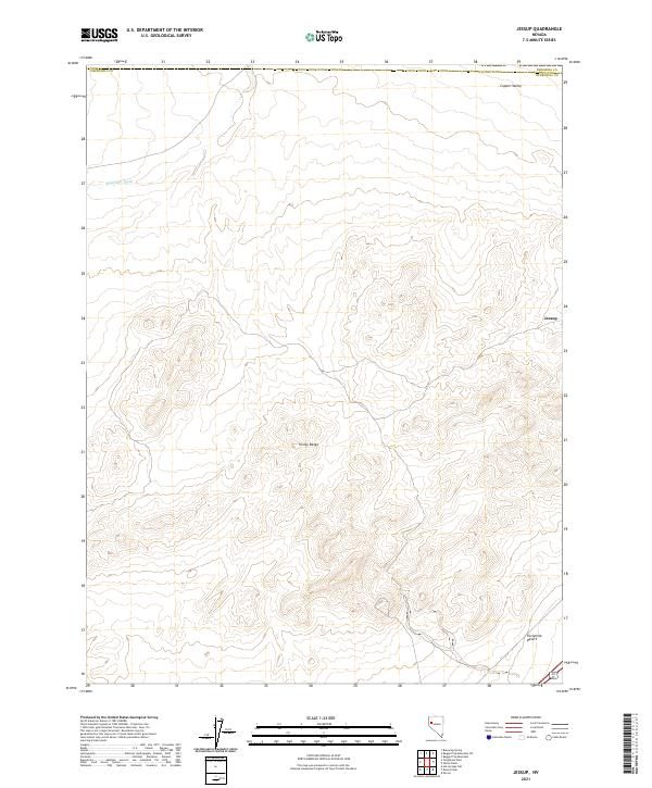 2021 Jessup2021 Print · USGSThe arid landscape of Churchill and Pershing counties is documented here in the early 2020s, showing the high-desert terrain where the Trinity Range meets the Fortymile Desert. Historians and researchers can locate the old mining settlement of Jessup and trace the path of Sage Hen Wash through the valley.
 - 2021 Map of Black Warrior Peak, 2021 Print
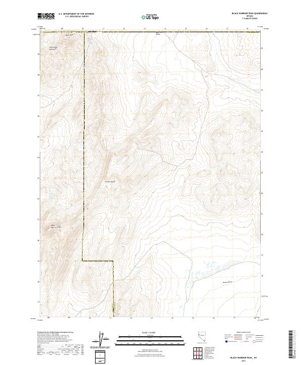 2021 Black Warrior Peak2021 Print · USGSThe northwestern corner of Nevada comes alive in this 2021 survey of the high-desert borderlands between Washoe and Churchill counties. Researchers can trace the rugged topography of the Truckee Range and locate isolated water sources like Black Warrior Spring and Coyote Spring.
 - 2021 Map of Lone Rock NW, 2021 Print
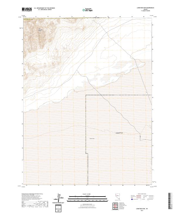 2021 Lone Rock NW2021 Print · USGSThe northern reaches of the Lahontan Basin are captured here in the early twenty-first century, showing the intersection of mountain and playa. Researchers can trace the edge of the Carson Sink and the foothills of the West Humboldt Range.
 - 2021 Map of Telephone Well, 2021 Print
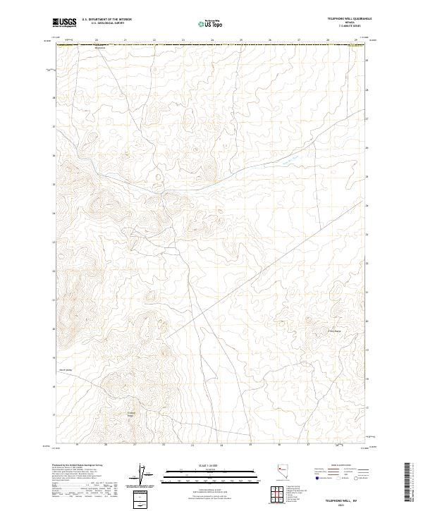 2021 Telephone Well2021 Print · USGSChurchill County, Nevada, is shown in this contemporary study of its high-desert ranges and basins. Researchers and outdoorsmen can trace the elevation changes and drainage patterns of Sahwave Mountains, Fireball Ridge, and Sage Hen Wash.
 - 2021 Map of Dixie Hot Springs NE, 2021 Print
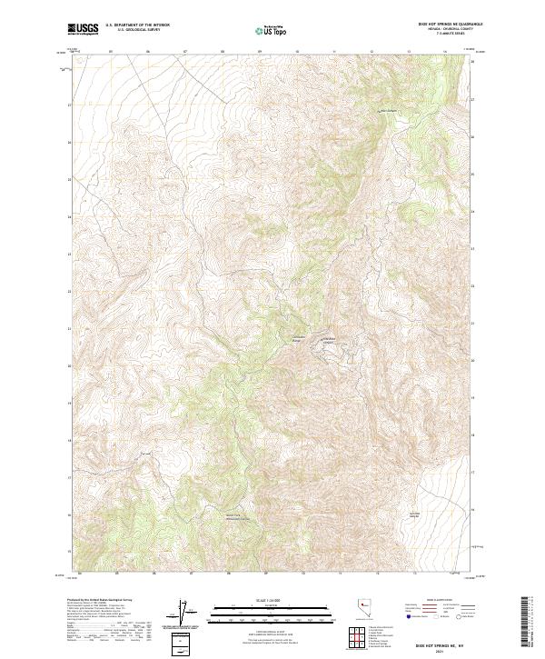 2021 Dixie Hot Springs NE2021 Print · USGSChurchill County’s high-desert terrain is captured in this modern survey of the central Nevada ranges. Topographical researchers and backcountry explorers can trace the steep drainage patterns of Iron Hat Canyon and the Stillwater Range.
 - 2021 Map of Ocala, 2021 Print
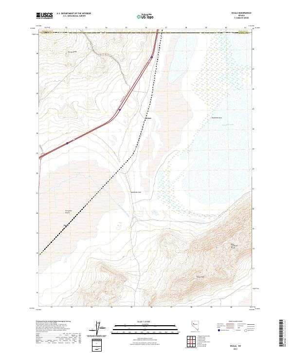 2021 Ocala2021 Print · USGSThe desert landscape of Churchill County is captured here in the early twenty-first century as it transitions into the Humboldt Sink. Genealogists and researchers can trace the modern corridor of Miriam and Ocala near the vast Fortymile Desert.
 - 2021 Map of Buena Vista Hills South, 2021 Print
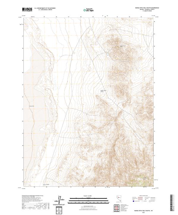 2021 Buena Vista Hills South2021 Print · USGSThe Churchill County desert is captured here in the early twenty-first century, showing the vast transition from basin to range. Trace the edge of the Carson Sink toward the heights of the Stillwater Range and Buena Vista Hills.
 - 2021 Map of Russell Peak, 2021 Print
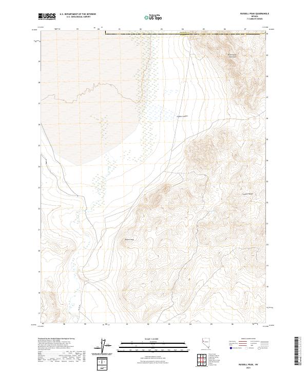 2021 Russell Peak2021 Print · USGSWashoe County's high-desert interior remains largely undisturbed in the early twenty-first century, showing the same ridgelines and remote basins known to early surveyors. Modern explorers can trace the slopes of Russell Peak or locate the site of Coyel Spring and the passage through Coyote Canyon.
 - 2021 Map of Lone Rock, 2021 Print
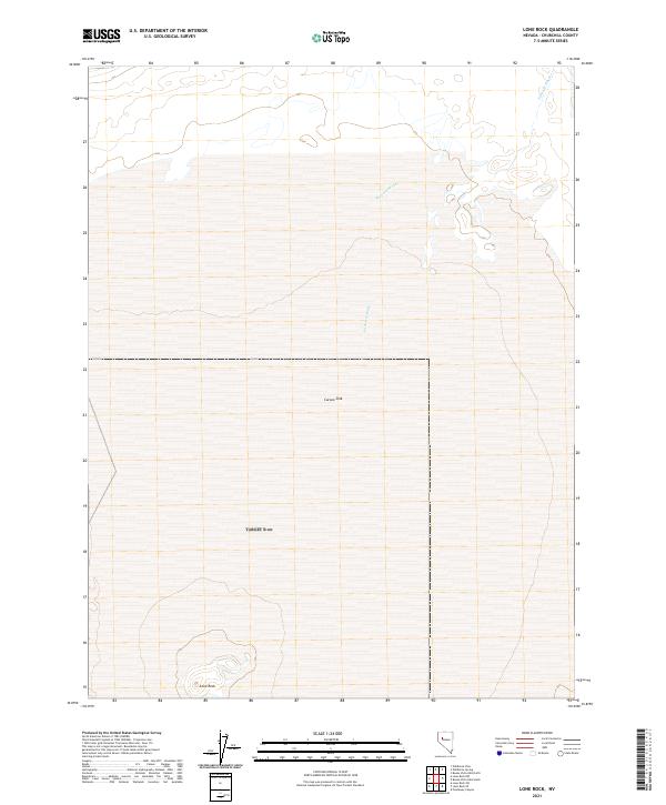 2021 Lone Rock2021 Print · USGSChurchill County is captured here in the early twenty-first century, revealing the stark desert geography of the Great Basin. Researchers can trace the seasonal hydrology of Packard Wash as it descends toward Carson Sink and locate the isolated landmark of Lone Rock.
 - 2021 Map of Lovelock Indian Caves, 2021 Print
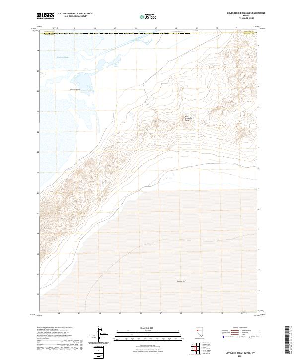 2021 Lovelock Indian Caves2021 Print · USGSThe northern edge of the Lahontan Basin is documented here in the early twenty-first century, where the mountains meet the desert sinks. Researchers can trace the water flow from the Humboldt River into the Humboldt Lake and down toward the expansive Humboldt Sink.
 - 2021 Map of White Plains, 2021 Print
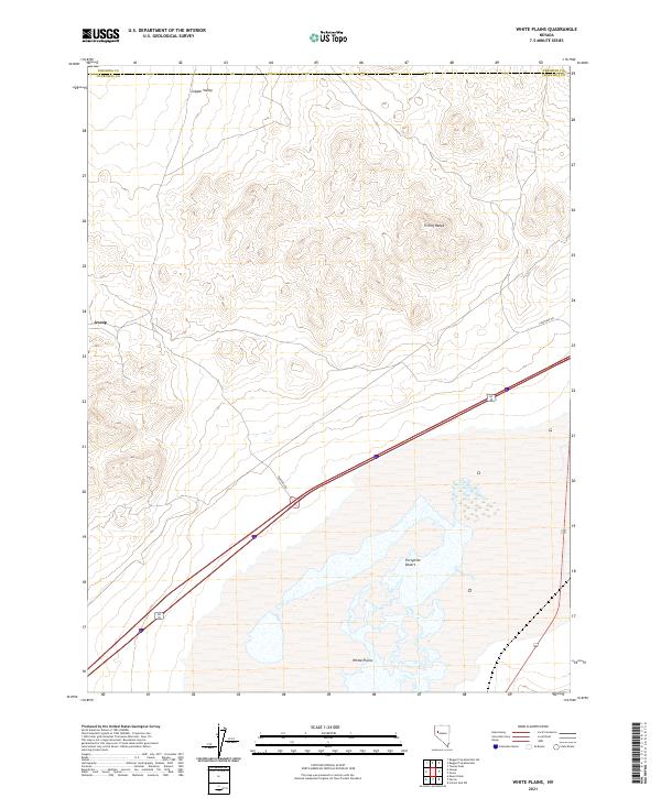 2021 White Plains2021 Print · USGSThe high desert landscape of Churchill County is captured here in the early twenty-first century. Researchers can trace the rugged contours of the Trinity Range and locate the historic settlement sites of Jessup and White Plains.
 - 2021 Map of Rye Patch Dam, 2021 Print
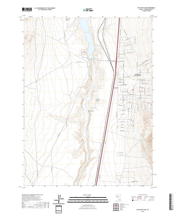 2021 Rye Patch Dam2021 Print · USGSPershing County's arid basin comes into focus during the early twenty-first century, showing the intersection of water management and desert settlement. Researchers can trace historic travel corridors like Old Emigrant Rd alongside the residential streets of Humboldt River Ranch and the waters of Rye Patch Reservoir.
 - 2021 Map of Jersey Summit, 2021 Print
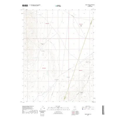 2021 Jersey Summit2021 Print · USGSCovers Pershing County, including Lander County, United States, and other nearby areas
 - 2021 Map of Majuba Mountain, 2021 Print
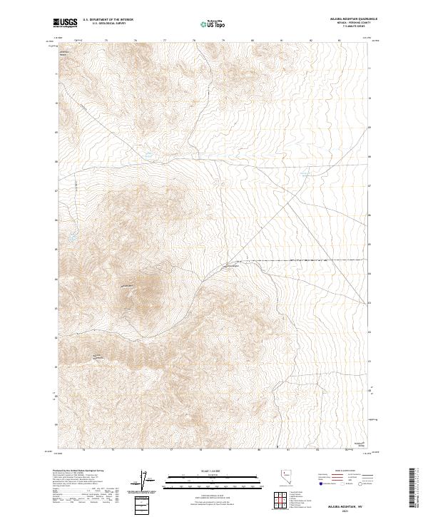 2021 Majuba Mountain2021 Print · USGSThe high desert of Pershing County is captured here in the early twenty-first century, centered on the heights of the Majuba Mountains. Researchers can trace remote routes like Pioneer Rd and locate vital water sources such as Willow Springs and Big Antelope Spring.
 - 2021 Map of Panther Canyon, 2021 Print
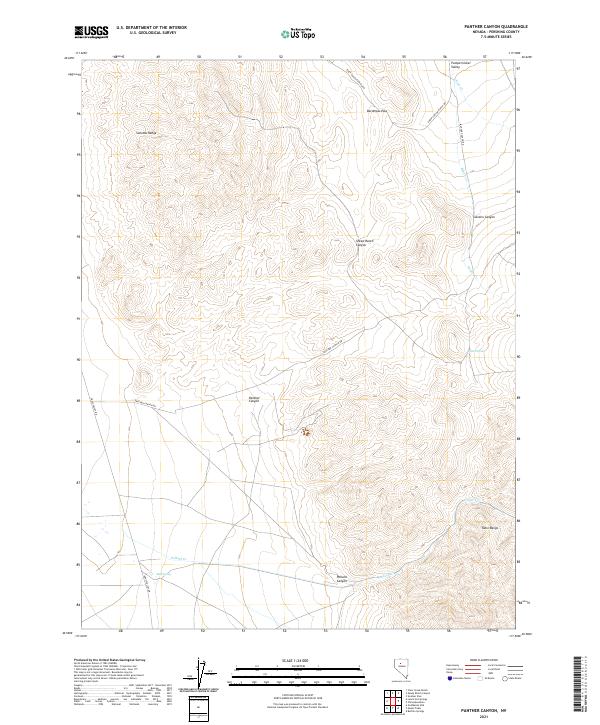 2021 Panther Canyon2021 Print · USGSPershing County's high desert peaks and steep drainages are detailed here during the early twenty-first century. Researchers can trace the path of Panther Canyon Rd through the mountains or locate isolated water sources like Petain Spring and Mud Spring.
 - 2021 Map of Kyle Hot Springs, 2021 Print
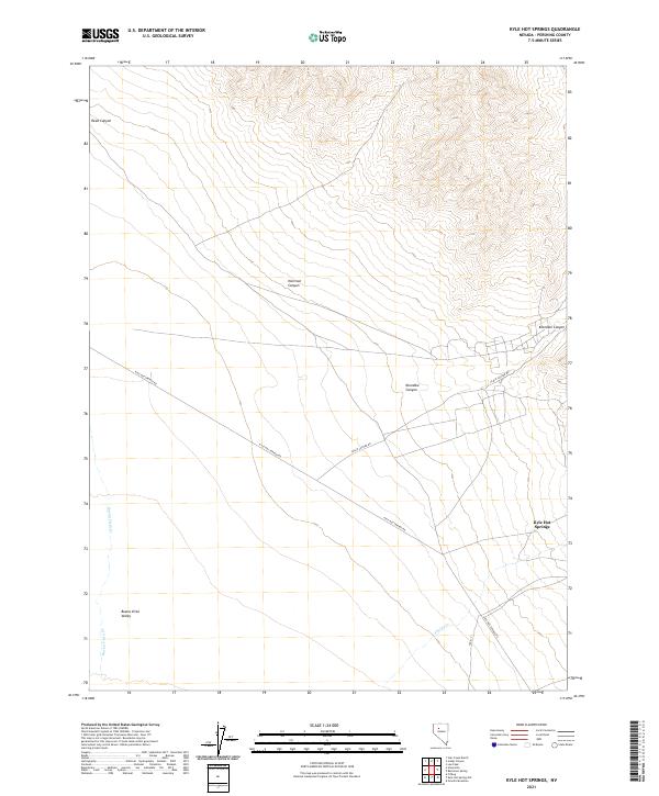 2021 Kyle Hot Springs2021 Print · USGSPershing County's high desert landscape is documented here in the early twenty-first century, centered on the thermal waters of the Humboldt Range. Researchers can trace the drainages of Klondike Canyon and Reed Canyon as they meet the Buena Vista Valley near Kyle Hot Springs.
 - 2021 Map of Mill City, 2021 Print
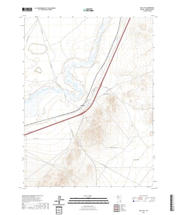 2021 Mill City2021 Print · USGSThe Humboldt River valley meets the desert flats of Pershing County in the early twenty-first century. Genealogists and historians can trace the transition from the Old Idaho Stage Rd to the modern community of Mill City and the ranching routes of Willow Creek Ranch Rd.
 - 2021 Map of Rose Creek Mountain, 2021 Print
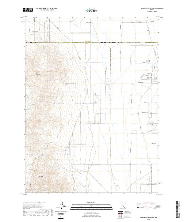 2021 Rose Creek Mountain2021 Print · USGSPershing and Humboldt counties meet in this high-desert landscape during the early twenty-first century, where the mountains descend into the valley floor. Researchers can trace mining access via Jupiter Mine Rd or locate local landmarks like Auld Lang Syne Peak and Rose Spring.
 - 2021 Map of Purgatory Peak, 2021 Print
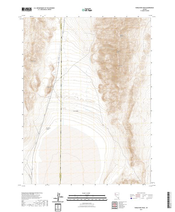 2021 Purgatory Peak2021 Print · USGSHigh-desert topography defines the Washoe and Pershing border in the 2020s, centered on the dramatic rise of the Selenite Range. Traces of the remote landscape include the peak of Mt Limbo and the winding path of Jayhawk Cr through Poito Valley.
 - 2021 Map of Poker Brown Gap, 2021 Print
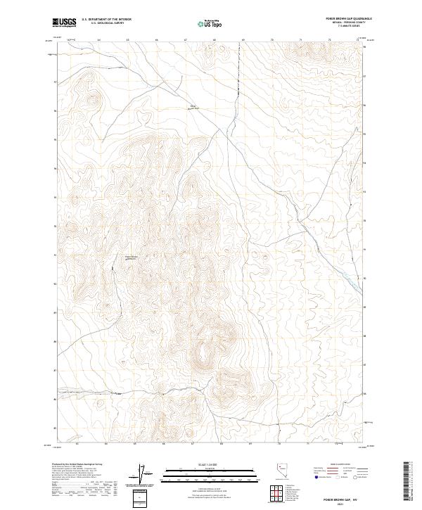 2021 Poker Brown Gap2021 Print · USGSPershing County's high-desert interior remains a land of sharp relief and remote basins in the early twenty-first century. Researchers can trace the rugged contours of the Poker Brown Mountains and follow the drainage of Poker Brown Wash through the Poker Brown Gap.
 - 2021 Map of Buffalo Springs NE, 2021 Print
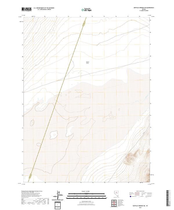 2021 Buffalo Springs NE2021 Print · USGSLander and Pershing counties meet in the high desert of the Great Basin during this modern era. Researchers can trace the boundary between Pershing Co and Lander Co through the wide Buffalo Valley near the course of Willow Cr.
 - 2021 Map of Wildhorse Pass, 2021 Print
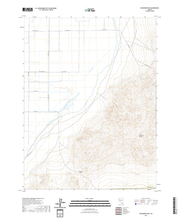 2021 Wildhorse Pass2021 Print · USGSPershing County's high-desert landscape is captured here in the early twenty-first century, showcasing the intersection of historic trails and modern irrigation. Genealogists and historians can trace the Old California Trl or explore the network of waterways including Seven Ditch and the Union-Rodgers Canal.
 - 2021 Map of Congress Canyon, 2021 Print
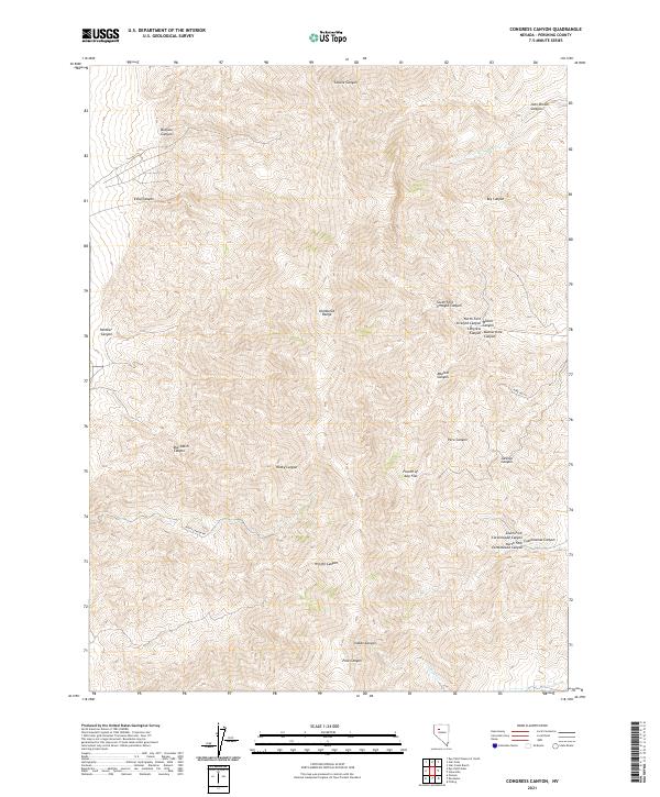 2021 Congress Canyon2021 Print · USGSThe Humboldt Range in Pershing County is mapped here in the early twenty-first century, showing the rugged network of canyons and gulches that define this part of Nevada. Genealogists and historians can trace routes through Rocky Canyon Rd or locate remote landmarks like Fourth of July Flat and Congress Canyon.
 - 2021 Map of Sawtooth Knob, 2021 Print
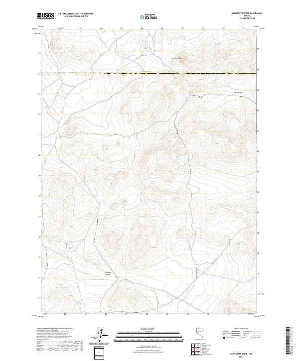 2021 Sawtooth Knob2021 Print · USGSPershing and Humboldt counties meet in this high-desert territory during the early twenty-first century. Researchers can trace the essential water points of the Great Basin at Railroad Spring and Mitchum Spring, or follow the deep contours of Box Canyon.
 - 2021 Map of Star Creek Ranch, 2021 Print
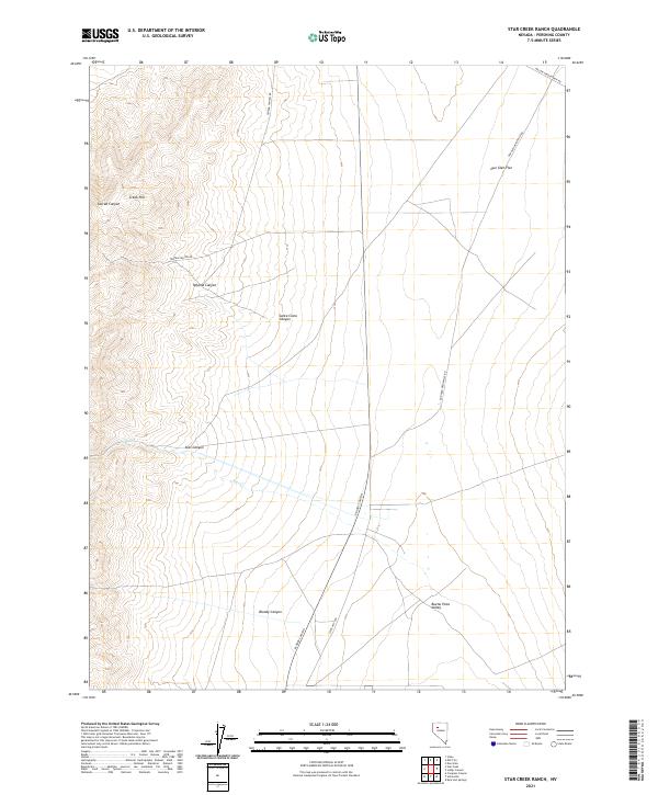 2021 Star Creek Ranch2021 Print · USGSPershing County's high desert landscape and historic canyon routes are captured here in the contemporary era. Researchers can trace the paths of early travel between settlements via the Dun Glen-Unionville Rd and explore the geography of Star Canyon and Bloody Canyon.
Showing maps 1-25 of 132
Top cities of Pershing County
- Lovelock historical maps
- Humboldt River Ranch historical maps
- Imlay historical maps
- Unionville historical maps
Frequently asked questions
- What are the different types of historical maps available for Pershing County?
- What is the oldest map of Pershing County?
- Where can I purchase historical maps of Pershing County for my home or office?
- Where can I download high-res historical maps of Pershing County?
- Are there historical topographic maps available for Pershing County?
- Is there historical aerial imagery available for Pershing County?
- Where are historical maps of Pershing County sourced from?