2000s (21st Century) Maps of Pershing County, Nevada
Explore 522 historic maps of Pershing County from the 2000s (21st Century). These maps offer a rare glimpse into what life looked like during the 2000s — showing old roads, neighborhoods, homes, and landmarks that have changed or disappeared over time.
Whether you're researching your family's past, planning a metal detecting trip, or studying how Pershing County's landscape evolved across the 2000s, these high-resolution maps are a powerful tool for exploring the history of this region.
- Focus on a specific era: All maps on this page are from the 2000s, giving you a focused view of this time period.
- See what’s changed: Compare century-old streets, trails, and buildings to today's modern landscape using overlays and satellite layers.
- Research with precision: Use these maps for genealogy, historical research, land use analysis, or educational projects.
- View, download, or print: Maps are fully viewable online in high resolution, and can be downloaded or printed for your own records.
Start exploring Pershing County's history through authentic maps from the 2000s. This is your window into the past.
Pershing County, NV maps
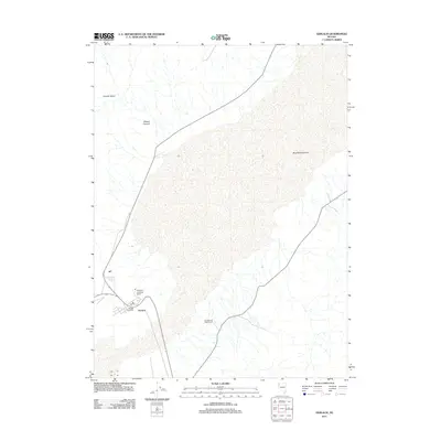
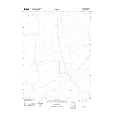
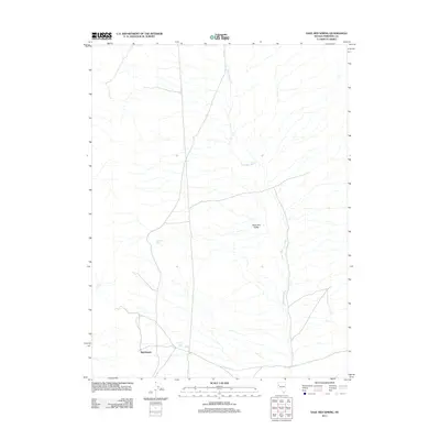
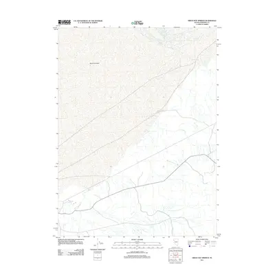
(522)- 2011 Map of Empire, 2011 Print
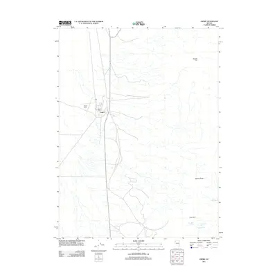 2011 Empire2011 Print · USGSCovers Pershing County, including Empire, Washoe County, and other nearby areas
 - 2011 Map of Betty Creek, 2011 Print
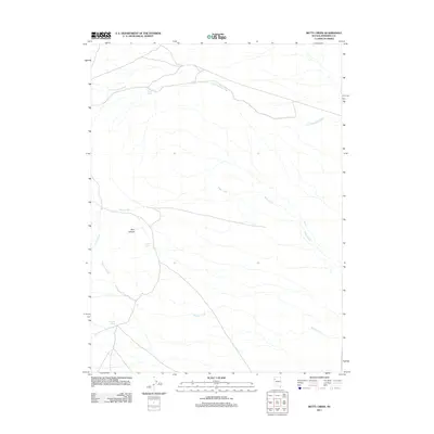 2011 Betty Creek2011 Print · USGSCovers Pershing County, including United States, Nevada, and other nearby areas
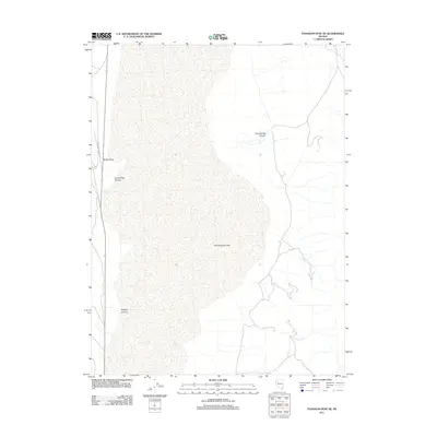
 - 2011 Map of Juniper Pass, 2011 Print
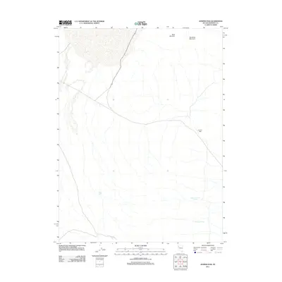 2011 Juniper Pass2011 Print · USGSCovers Pershing County, including United States, Nevada, and other nearby areas
 - 2011 Map of Trego, 2011 Print
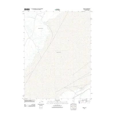 2011 Trego2011 Print · USGSCovers Pershing County, including Black Rock City, United States, and other nearby areas
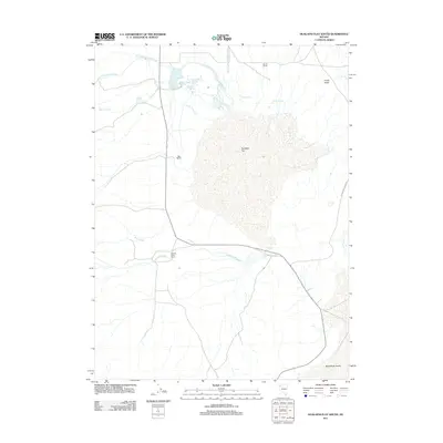
 - 2011 Map of Gerlach, 2011 Print
 2011 Gerlach2011 Print · USGSCovers Pershing County, including Gerlach, Washoe County, and other nearby areas
 - 2011 Map of Eagle Rock Spring, 2011 Print
 2011 Eagle Rock Spring2011 Print · USGSCovers Pershing County, including United States, Nevada, and other nearby areas
 - 2011 Map of Kumiva Peak, 2011 Print
 2011 Kumiva Peak2011 Print · USGSCovers Pershing County, including Washoe County, United States, and other nearby areas
 - 2011 Map of Dry Mountain NW, 2011 Print
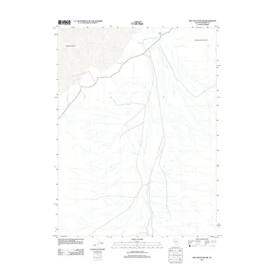 2011 Dry Mountain NW2011 Print · USGSCovers Pershing County, including United States, Nevada, and other nearby areas
 - 2011 Map of Tenmile, 2011 Print
 2011 Tenmile2011 Print · USGSCovers Pershing County, including United States, Nevada, and other nearby areas
 - 2011 Map of Tohakum Peak NE, 2011 Print
 2011 Tohakum Peak NE2011 Print · USGSCovers Pershing County, including Washoe County, United States, and other nearby areas
 - 2011 Map of Jayhawk Well, 2011 Print
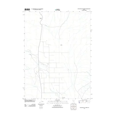
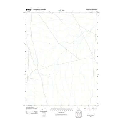 2011 Jayhawk Well2011 Print · USGSCovers Pershing County, including United States, Nevada, and other nearby areas
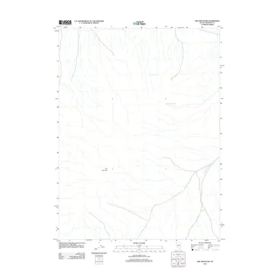
 - 2011 Map of Bob Spring, 2011 Print
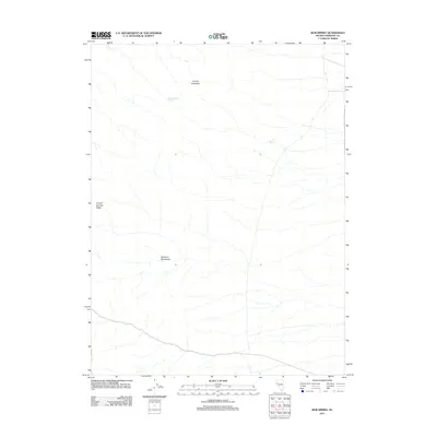 2011 Bob Spring2011 Print · USGSCovers Pershing County, including United States, Nevada, and other nearby areas
 - 2011 Map of Bluewing Spring, 2011 Print
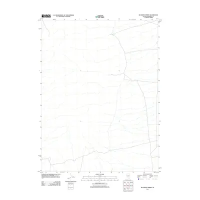 2011 Bluewing Spring2011 Print · USGSCovers Pershing County, including United States, Nevada, and other nearby areas
 - 2011 Map of Mormon Dan Peak, 2011 Print
 2011 Mormon Dan Peak2011 Print · USGSCovers Pershing County, including Humboldt County, United States, and other nearby areas
 - 2011 Map of Hualapai Flat North, 2011 Print
 2011 Hualapai Flat North2011 Print · USGSCovers Pershing County, including Washoe County, Humboldt County, and other nearby areas
 - 2011 Map of Purgatory Peak, 2011 Print
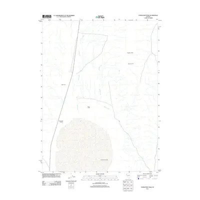 2011 Purgatory Peak2011 Print · USGSCovers Pershing County, including Washoe County, United States, and other nearby areas
 - 2011 Map of Sage Hen Spring, 2011 Print
 2011 Sage Hen Spring2011 Print · USGSCovers Pershing County, including United States, Nevada, and other nearby areas
 - 2011 Map of Tunnel Spring, 2011 Print
 2011 Tunnel Spring2011 Print · USGSCovers Pershing County, including United States, Nevada, and other nearby areas
 - 2011 Map of Hualapai Flat South, 2011 Print
 2011 Hualapai Flat South2011 Print · USGSCovers Pershing County, including Washoe County, United States, and other nearby areas
 - 2011 Map of Dry Mountain, 2011 Print
 2011 Dry Mountain2011 Print · USGSCovers Pershing County, including United States, Nevada, and other nearby areas
 - 2011 Map of Black Rock Point West, 2011 Print
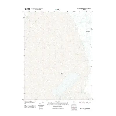 2011 Black Rock Point West2011 Print · USGSCovers Pershing County, including Humboldt County, United States, and other nearby areas
 - 2011 Map of Twin Buttes Well, 2011 Print
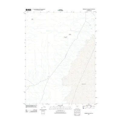
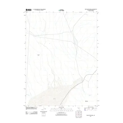 2011 Twin Buttes Well2011 Print · USGSCovers Pershing County, including United States, Nevada, and other nearby areas
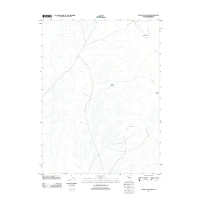
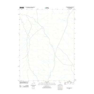
 - 2011 Map of Trego Hot Springs, 2011 Print
 2011 Trego Hot Springs2011 Print · USGSCovers Pershing County, including United States, Nevada, and other nearby areas
 - 2011 Map of Lone Rock NW, 2011 Print
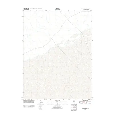 2011 Lone Rock NW2011 Print · USGSCovers Pershing County, including Churchill County, United States, and other nearby areas
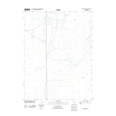
 - 2011 Map of Ocala, 2011 Print
 2011 Ocala2011 Print · USGSCovers Pershing County, including Churchill County, United States, and other nearby areas
Showing maps 1-25 of 522
Top cities of Pershing County
- Lovelock historical maps
- Humboldt River Ranch historical maps
- Imlay historical maps
- Unionville historical maps
Frequently asked questions
- What are the different types of historical maps available for Pershing County?
- What is the oldest map of Pershing County?
- Where can I purchase historical maps of Pershing County for my home or office?
- Where can I download high-res historical maps of Pershing County?
- Are there historical topographic maps available for Pershing County?
- Is there historical aerial imagery available for Pershing County?
- Where are historical maps of Pershing County sourced from?