1980s Maps of Pershing County, Nevada
Explore 88 historic maps of Pershing County from the 1980s. These maps offer a rare glimpse into what life looked like during the 1980s — showing old roads, neighborhoods, homes, and landmarks that have changed or disappeared over time.
Whether you're researching your family's past, planning a metal detecting trip, or studying how Pershing County's landscape evolved across the 1980s, these high-resolution maps are a powerful tool for exploring the history of this region.
- Focus on a specific era: All maps on this page are from the 1980s, giving you a focused view of this time period.
- See what’s changed: Compare century-old streets, trails, and buildings to today's modern landscape using overlays and satellite layers.
- Research with precision: Use these maps for genealogy, historical research, land use analysis, or educational projects.
- View, download, or print: Maps are fully viewable online in high resolution, and can be downloaded or printed for your own records.
Start exploring Pershing County's history through authentic maps from the 1980s. This is your window into the past.
Pershing County, NV maps
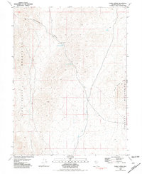
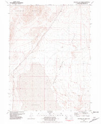
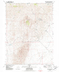
(88)- 1980 Map of Dry Mountain NW
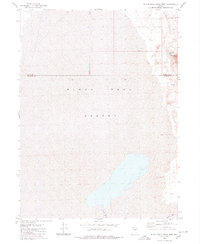
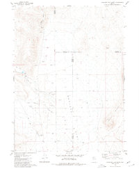
 1980 Dry Mountain NW1980 Print · USGSThe high country of Pershing County is captured here in the late 1970s, where the mountain peaks meet the desert floor. Map collectors and historians can trace the Western Pacific rail line or locate the remote Arcturus Mine and the Flowing Wells at the edge of the Black Rock Desert.
 - 1980 Map of Black Rock Point West
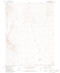
 1980 Black Rock Point West1980 Print · USGSPershing and Humboldt Counties are captured in the late seventies and early eighties, showing the stark expanse of the Black Rock Desert. Researchers can trace the path of the Quinn River and locate geothermal landmarks like Black Rock Springs.2 unique versions available
 - 1980 Map of Eagle Rock Spring
 1980 Eagle Rock Spring1980 Print · USGSThe high desert of Pershing County was a landscape of volcanic plateaus and remote outposts in the late seventies. Researchers can trace the movement of livestock and miners through reliable water sources like Eagle Rock Spring and the southern Prospect near The Lava Beds.
 - 1980 Map of Trego Hot Spring
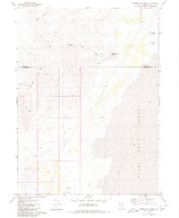
 1980 Trego Hot Spring1980 Print · USGSPershing County in the late 1970s reveals a landscape where the iron rail meets the alkali flat. Researchers can trace the Western Pacific line past Trego Hot Springs or locate mineral Prospects on the slopes of Pahsupp Mountain.2 unique versions available
 - 1980 Map of Dry Mountain
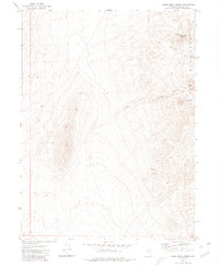
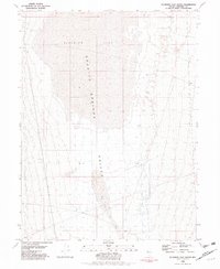
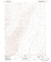
 1980 Dry Mountain1980 Print · USGSPershing County's high desert terrain is captured here in the late seventies, showing a landscape defined by seasonal water and primitive roads. Researchers can trace the elevation changes of Dry Mountain and locate isolated water sources like Garrett Spring or Wet Weather Spring.
 - 1980 Map of Hualapai Flat North
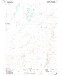
 1980 Hualapai Flat North1980 Print · USGSHigh desert ranching and aviation infrastructure define this Nevada landscape during the late 1970s. Trace remote sites like Iverson Ranch, find several prospects, and locate the Landing Field and Landing Strip used to navigate the Hualapai Flat.
 - 1980 Map of Tenmile
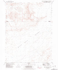
 1980 Tenmile1980 Print · USGSPershing County's high desert was a landscape of remote ranching and natural springs in the mid-1970s. Trace the paths of early travelers and ranchers through the Selenite Range and locate vital water sources like Antelope Spring and Mud Spring.
 - 1980 Map of Mormon Dan Peak
 1980 Mormon Dan Peak1980 Print · USGSThe Nevada high desert in the mid-1970s reveals a landscape defined by the Calico Hills and the edge of the Black Rock Desert. Trace remote water sources like Mormon Dan Spring, Whiskey Spring, and a Flowing Well.
 - 1980 Map of Reno
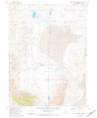
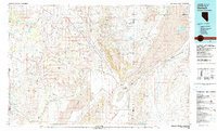
 1980 Reno1980 Print · USGSReno and its high-desert surroundings appear in transition during the 1980s, balancing rapid urban expansion with its deep mining and ranching roots. Genealogists and historians can trace the Southern Pacific line through Fernley or locate local landmarks like Mountain View Cem and the Ruth Mine.3 unique versions available
 - 1980 Map of Trego, 1981 Print
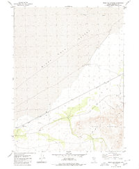
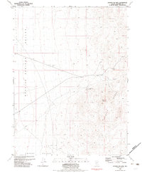
 1980 Trego1981 Print · USGSPershing County's high-desert basins and isolated mining prospects are captured here during the late 1970s. Trace the path of the Western Pacific railroad to the stop at Trego, and locate desert water sources like Lost Spr and the Cassidy Mine.
 - 1980 Map of Hualapai Flat South, 1984 Print
 1980 Hualapai Flat South1984 Print · USGSWashoe and Pershing counties in the mid-1970s reveal a landscape of isolated desert ranching and unique geothermal features. Genealogists and desert historians can locate Fly Ranch, the geothermal landmark of The Geyser, and a solitary Grave near the Hualapai Flat.
 - 1981 Map of Bluewing Flat South
 1981 Bluewing Flat South1981 Print · USGSPershing County's high-desert terrain is captured in the early eighties as the vast Bluewing Flat meets the valley floor. Study the seasonal drainage of Sage Hen Wash and the remote placement of a lone Water Tank in this arid landscape.
 - 1981 Map of Sheep Spring
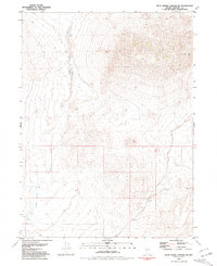
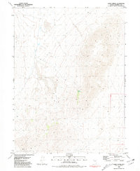 1981 Sheep Spring1981 Print · USGSPershing County's arid high-desert landscape is captured in the early eighties, showcasing the intersection of mining and water resources. Researchers can pinpoint the location of the Garrett Mine and trace the seasonal path of Lava Beds Creek toward Sheep Spring.
 - 1981 Map of Black Rock Point East
 1981 Black Rock Point East1981 Print · USGSThe arid landscape on the border of Humboldt and Pershing counties is captured here in the early 1980s. Researchers can trace the path of the Quinn River as it enters the Black Rock Desert near Black Rock Point.
 - 1981 Map of Twin Buttes Well
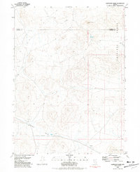
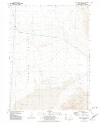 1981 Twin Buttes Well1981 Print · USGSPershing County in the early 1980s reveals a quiet landscape of mining and desert water sources. Trace the history of mineral extraction at the Colorado Placer Mine or locate the vital Twin Buttes Well in the Kumiva Valley.
 - 1981 Map of Tunnel Spring
 1981 Tunnel Spring1981 Print · USGSIn the high desert of Pershing County in the early 1980s, this area shows a landscape defined by isolated water sources and ridges. Researchers can trace the network of 4WD tracks connecting Tunnel Spring, Upper Stonehouse Spring, and Sage Hen Wash.
 - 1981 Map of Gerlach
 1981 Gerlach1981 Print · USGSThe high desert of northwestern Nevada and eastern California is mapped here during the early eighties, centered on the vital rail and mining hub of Gerlach. Researchers can trace the Western Pacific corridor through Trego and locate remote operations like the Arcturus Mine and the gypsum works at Empire.2 unique versions available
 - 1981 Map of Rabbithole NE
 1981 Rabbithole NE1981 Print · USGSThe high desert of northwestern Nevada is documented here in the early eighties, showing where the Quinn River meets the expanse of the Black Rock Desert. Researchers can trace the seasonal paths of Granite Spring Wash and Rabbithole Creek across the county line.2 unique versions available
 - 1981 Map of Sawtooth Knob
 1981 Sawtooth Knob1981 Print · USGSThe high desert of Pershing and Humboldt Counties is captured here in the early eighties, showcasing a landscape defined by mining and mineral exploration. Researchers can trace historic extraction sites through the Antelope Range, locating remote spots like Railroad Spring and Rosebud Canyon.
 - 1981 Map of Bluewing Flat North
 1981 Bluewing Flat North1981 Print · USGSIn the high desert of Pershing County during the early eighties, this survey captures the transition from rugged peaks to alkali basins. Researchers and explorers can trace the remote terrain of the Bluewing Mountains or locate a lonely prospect near Bluewing Flat.2 unique versions available
 - 1981 Map of Dead Horse Canyon
 1981 Dead Horse Canyon1981 Print · USGSPershing County's mining and desert landscape is documented here in the early 1980s, centered on the southern end of the Black Rock Desert region. You can locate remote operations like the Windy Hill Mine and follow 4WD tracks to Elephant Head Rock or Dead Horse Spring.
 - 1981 Map of Dead Horse Canyon NE
 1981 Dead Horse Canyon NE1981 Print · USGSThe high desert of Pershing County is captured here in the early eighties, showcasing a remote landscape defined by seasonal water and mining potential. Researchers can trace primitive 4WD tracks to a lonely Prospect or locate vital water sources like Granite Spring Wash Well.2 unique versions available
 - 1981 Map of Ragged Top Mtn, 1982 Print
 1981 Ragged Top Mtn1982 Print · USGSPershing County's desert mining landscape is frozen in time during the early eighties, showcasing the intersection of industrial work and the high desert. Researchers can locate the Ragged Top Mine and trace the long Pipeline running through Granite Springs Valley.
 - 1981 Map of Seven Troughs, 1982 Print
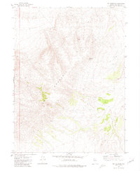
 1981 Seven Troughs1982 Print · USGSPershing County's high desert mining history is preserved here in the early 1980s, documenting the remote sites of a former gold rush. Researchers can locate the ruins of Mazuma, trace the canyon roads to the Portland Mine, and find the Cem at Tunnel Camp.
 - 1981 Map of Sage Hen Spring, 1982 Print
 1981 Sage Hen Spring1982 Print · USGSThe Nevada high desert in the early eighties reveals a landscape of mineral exploration and remote water sources. Trace the remnants of the Nightingale (Site) and find the locations of the Nightingale Mine and Sage Hen Spring.
Showing maps 1-25 of 88
Top cities of Pershing County
- Lovelock historical maps
- Humboldt River Ranch historical maps
- Imlay historical maps
- Unionville historical maps
Frequently asked questions
- What are the different types of historical maps available for Pershing County?
- What is the oldest map of Pershing County?
- Where can I purchase historical maps of Pershing County for my home or office?
- Where can I download high-res historical maps of Pershing County?
- Are there historical topographic maps available for Pershing County?
- Is there historical aerial imagery available for Pershing County?
- Where are historical maps of Pershing County sourced from?