1990s Maps of Pershing County, Nevada
Explore 36 historic maps of Pershing County from the 1990s. These maps offer a rare glimpse into what life looked like during the 1990s — showing old roads, neighborhoods, homes, and landmarks that have changed or disappeared over time.
Whether you're researching your family's past, planning a metal detecting trip, or studying how Pershing County's landscape evolved across the 1990s, these high-resolution maps are a powerful tool for exploring the history of this region.
- Focus on a specific era: All maps on this page are from the 1990s, giving you a focused view of this time period.
- See what’s changed: Compare century-old streets, trails, and buildings to today's modern landscape using overlays and satellite layers.
- Research with precision: Use these maps for genealogy, historical research, land use analysis, or educational projects.
- View, download, or print: Maps are fully viewable online in high resolution, and can be downloaded or printed for your own records.
Start exploring Pershing County's history through authentic maps from the 1990s. This is your window into the past.
Pershing County, NV maps
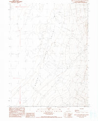
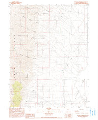
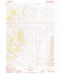
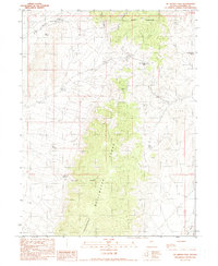
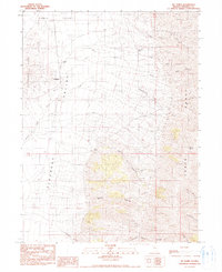
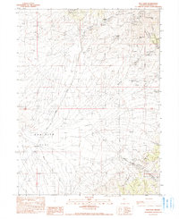
(36)- 1990 Map of Lee Peak
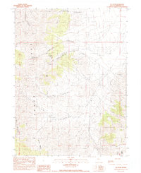 1990 Lee Peak1990 Print · USGSPershing County's mining and ranching history is etched into the East Range in this late twentieth-century study. Trace the high-desert landscape from the Yellowstone Mine to reliable water at Rawhide Spring and the passage through Klondike Pass.
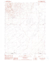
 - 1990 Map of Bartomes Spring
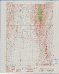
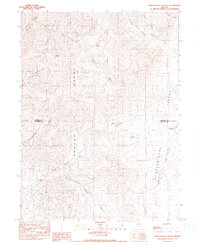
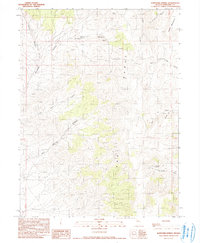 1990 Bartomes Spring1990 Print · USGSPershing County's high desert terrain is captured here in the late twentieth century, showing a landscape defined by seasonal water and mining. Genealogists and historians can trace the locations of Mine Tunnels, Sulphur Spring, and Bartomes Spring.
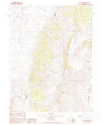
 - 1990 Map of Leach Hot Springs
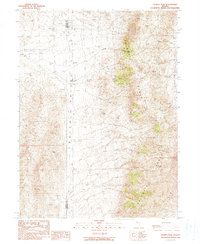
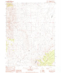
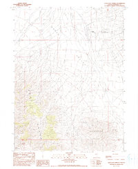 1990 Leach Hot Springs1990 Print · USGSPershing County in the late eighties and early nineties reveals a landscape of high-desert ranching and active mining. Researchers can trace land use through the geothermal Leach Hot Springs, remote Mines, and the historic Hot Springs Ranch.
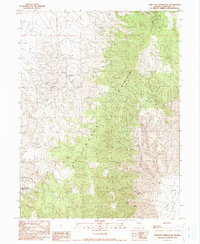
 - 1990 Map of Buffalo Springs NE
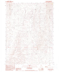
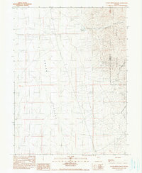
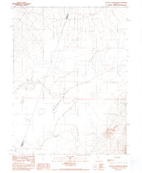 1990 Buffalo Springs NE1990 Print · USGSThe high desert of Lander and Pershing Counties was carefully mapped in the late twentieth century, capturing a quiet landscape of dry basins and essential water sources. Genealogists and historians can trace the Dry Lake Shoreline and locate vital desert markers like Springs and the county line.
 - 1990 Map of West of McKinney Pass
 1990 West of McKinney Pass1990 Print · USGSThe arid basins of Pershing County appear in detailed relief during the late eighties, showing the ancient Dry Lake Shore Line and the expansive Alkali Flat. Trace the remote 4WD tracks and water sources like a lone Spring and Well across Buena Vista Valley.
 - 1990 Map of Cain Mountain
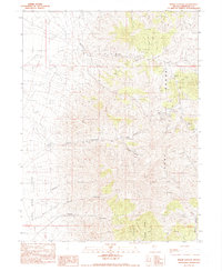
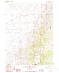 1990 Cain Mountain1990 Print · USGSPershing County ranching and rugged Great Basin topography are documented here in the late twentieth century. Researchers can trace land use through remote sites like Mc Coy Ranch and natural landmarks such as Cain Mountain and Favret Canyon.
 - 1990 Map of Granite Mountain
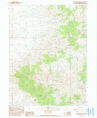 1990 Granite Mountain1990 Print · USGSPershing County's mining heart is mapped here in the early nineties, documenting a landscape shaped by mineral exploration and high-desert terrain. Researchers can locate specific industrial relics like the Open Pit Mine, Mine Tunnel sites, and family-named landmarks including Mc Clure Canyon.
 - 1990 Map of Home Station Gap
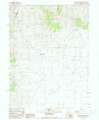 1990 Home Station Gap1990 Print · USGSLander and Pershing counties meet in this high-desert basin during the late twentieth century, where mountain ranges frame a wide valley floor. Trace the rugged terrain around Home Station Gap, identifying isolated water sources such as Hess Spring and the Drill Hole in the valley.
 - 1990 Map of Buffalo Springs
 1990 Buffalo Springs1990 Print · USGSPershing County's high desert ranching country is documented here during the late twentieth century, showing the intersection of mountain drainage and basin life. Researchers can locate the Buffalo Ranch and trace vital water sources like Buffalo Springs and Big Creek.
 - 1990 Map of Purgatory Peak
 1990 Purgatory Peak1990 Print · USGSWashoe and Pershing counties meet in this high desert basin as it appeared in the early nineties, centered on the desiccated bed of the lake. Explore the terrain around Purgatory Peak and Mt Limbo, or trace locations like the Indian Caves and Jayhawk Creek.
 - 1990 Map of Kumiva Peak
 1990 Kumiva Peak1990 Print · USGSThe high peaks of the Nevada desert stand out in this late-century survey of the Washoe-Pershing county line. Researchers can trace remote mountain activity through labels like Cowles Ranch, the high Kumiva Peak, and numerous mining prospects scattered along the Selenite Range.
 - 1990 Map of Sou Hills
 1990 Sou Hills1990 Print · USGSPleasant Valley and its surrounding high-desert ranges appear here as they were in the 1980s and early 90s. Researchers can locate isolated ranching and mining sites like Paris Ranch and various high-elevation Prospects and a Mine.
 - 1990 Map of Kennedy Canyon
 1990 Kennedy Canyon1990 Print · USGSThe high desert of Pershing County during the late twentieth century reveals a landscape of deep canyons and persistent mining heritage. Researchers can locate the Kennedy (Site) and trace the network of Mine Tunnels and Prospects throughout Kennedy Canyon.
 - 1990 Map of Sou Hot Springs
 1990 Sou Hot Springs1990 Print · USGSPershing and Churchill counties met in this arid basin during the late twentieth century, where geothermal features defined the landscape. Researchers can trace ranching history and natural hydrology through Sou Hot Springs, Little Mc Coy Ranch, and the Seven Devils Ranch (Site).
 - 1990 Map of Mt. Moses
 1990 Mt. Moses1990 Print · USGSThe high desert of the Fish Creek Mountains is documented here in the late twentieth century, showing a landscape shaped by mining and cattle ranching. Researchers can trace historic prospecting sites like the Mine Tunnel and Prospects near Mt Moses.
 - 1990 Map of Dixie Hot Springs NE
 1990 Dixie Hot Springs NE1990 Print · USGSThe Stillwater Range meets the Dixie Valley in this 1990 survey of Churchill County's high-desert landscape. Researchers can locate remote ranching and mining sites like Anderson Ranch, an Open Pit Mine, and various old routes including a Pack Trail.
 - 1990 Map of McKinney Pass
 1990 McKinney Pass1990 Print · USGSThe high Nevada desert in the early nineties reveals a landscape defined by the Stillwater Range and scattered mineral prospects. Researchers can locate remote water sources like Polkinghorne Spring and trace historic routes through Mc Kinney Pass.
 - 1990 Map of Sheep Ranch Canyon
 1990 Sheep Ranch Canyon1990 Print · USGSThe Sonoma Range and Pumpernickel Valley meet at the Humboldt and Pershing county lines in the early 1990s. Researchers can trace land use through landmarks like Sheep Ranch, the Black Diablo Mine, and the waters of Pumpernickel Reservoir.
 - 1990 Map of Jersey Summit
 1990 Jersey Summit1990 Print · USGSThe high Nevada desert at the Pershing and Lander county line comes into focus in this 1990 survey. Researchers can trace mineral exploration and local topography through landmarks like Jersey Summit, early Prospects, and the drainage of Jersey Valley Wash.
 - 1990 Map of Clear Creek Ranch
 1990 Clear Creek Ranch1990 Print · USGSPershing County's high-desert ranching and mining landscape is captured here during the 1990s. Researchers can trace the water and mineral infrastructure of Grass Valley, from remote Prospects to the historic Clear Creek Ranch.
 - 1990 Map of Mt. Tobin
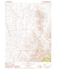
 1990 Mt. Tobin1990 Print · USGSPershing County's high-desert rangeland is captured here in the late 1980s, where the basin floor meets the steep canyons of the Tobin Range. Genealogists and local historians can trace the foundations of Goldbanks (Site) and the footprints of remote outposts like Siard Ranch or Jim Creek Ranch.
 - 1990 Map of Inskip Canyon
 1990 Inskip Canyon1990 Print · USGSPershing County mining activity is captured in high detail during the late twentieth century as operations expanded across the high desert. Researchers can trace the layout of Thacker Camp and locate specific mineral sites like the Wadley Mine Prospects and various mine shafts.
 - 1990 Map of Buena Vista Hills South
 1990 Buena Vista Hills South1990 Print · USGSChurchill County in the late eighties and early nineties reveals a rugged landscape defined by mineral exploration and the shifting sands of the Carson Sink. Researchers can trace old mining efforts through the Buena Vista Mine and numerous prospects along the Stillwater Range.
 - 1990 Map of Natchez Pass
 1990 Natchez Pass1990 Print · USGSPershing County's high desert peaks and mining history are recorded here in the late twentieth century. Researchers can trace land use through remote landmarks like Little Jupiter Mine, Grass Valley Ranch, and the Abandoned Mill.
 - 1990 Map of Dun Glen
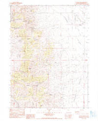
 1990 Dun Glen1990 Print · USGSPershing County's mining heart is revealed in this late-century survey of the East Range and its mineral-rich canyons. Researchers can locate the historic Dun Glen (Site), old mine shafts, and remote landmarks like Auld Lang Syne Peak.
Showing maps 1-25 of 36
Top cities of Pershing County
- Lovelock historical maps
- Humboldt River Ranch historical maps
- Imlay historical maps
- Unionville historical maps
Frequently asked questions
- What are the different types of historical maps available for Pershing County?
- What is the oldest map of Pershing County?
- Where can I purchase historical maps of Pershing County for my home or office?
- Where can I download high-res historical maps of Pershing County?
- Are there historical topographic maps available for Pershing County?
- Is there historical aerial imagery available for Pershing County?
- Where are historical maps of Pershing County sourced from?