Old Maps of Melena, New Mexico for Academic Research
Study the evolution of Melena with 10 high-resolution historic maps. Whether you're teaching, researching, or modeling changes in land use, these maps provide essential visual documentation of urban, environmental, and geographic change.
- Analyze long-term change: Track patterns in development, transportation, and natural features.
- Ideal for environmental or urban studies: Support academic projects with primary historical map data.
- Use in the classroom or lab: Educators and researchers rely on these maps to bring historical context to life.
These maps are a powerful tool for teaching, research, and visualizing how Melena has changed over the decades.
Melena, NM maps
(10)- 1955 Map of Roswell, 1974 Print
 1955 Roswell1974 Print · USGSSoutheastern New Mexico is shown in transition during the mid-fifties, from the Pecos Valley ranching hubs to the high timber of the Sacramento Mountains. Researchers can trace the Atchison Topeka and Santa Fe RR through Roswell and Hagerman or locate the old barracks at Ft Stanton.3 unique versions available
 - 1958 Map of Roswell
 1958 Roswell1958 Print · USGSThe High Plains and mountain peaks of New Mexico are captured here during the mid-fifties, showing the region before the closure of Walker Air Force Base. Researchers can trace the ranching and rail landscape from Lincoln to the Pecos River valley through Hagerman and Lake Arthur.
 - 1962 Map of Roswell
 1962 Roswell1962 Print · USGSSoutheastern New Mexico in the early sixties shows a landscape defined by high mountain peaks and a growing military presence at Roswell. Genealogists and historians can trace the roads connecting Fort Stanton, Capitan, and the Mescalero Apache Indian Reservation.
 - 1962 Map of Melena, 1965 Print
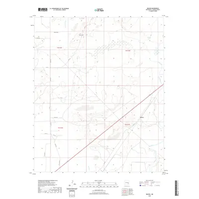
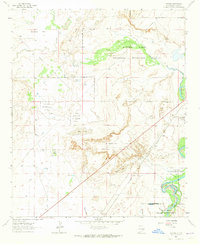 1962 Melena1965 Print · USGSThe Pecos River valley in the early sixties reveals a landscape of high-desert hydrology and rail-driven transport. Genealogists and researchers can trace the routes of the Atchison Topeka and Santa Fe past the settlement of Melena and the pools of Ink Pots.2 unique versions available
 - 1979 Map of Salt Creek
 1979 Salt Creek1979 Print · USGSChaves County's high plains and river valleys are captured here in the late seventies as the region balanced ranching life with historic aerospace milestones. Trace the Atchison Topeka and Santa Fe Railroad past Elkins or locate the Dr Robert Goddard Original Rocket Tower Site.
 - 2010 Map of Melena, 2010 Print
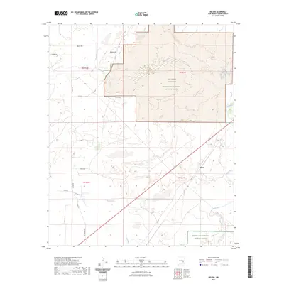
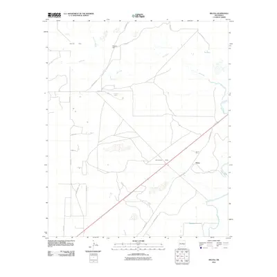 2010 Melena2010 Print · USGSCovers Melena, including Chaves County, United States, and other nearby areas
 - 2013 Map of Melena, 2013 Print
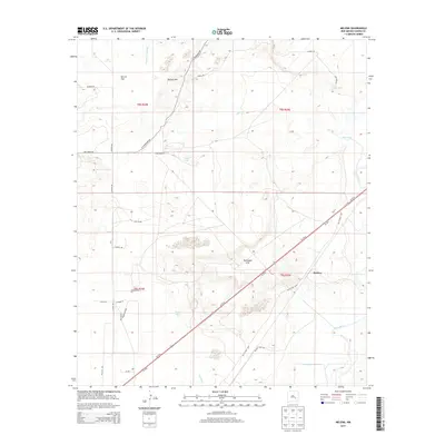 2013 Melena2013 Print · USGSCovers Melena, including Chaves County, United States, and other nearby areas
 - 2017 Map of Melena, 2017 Print
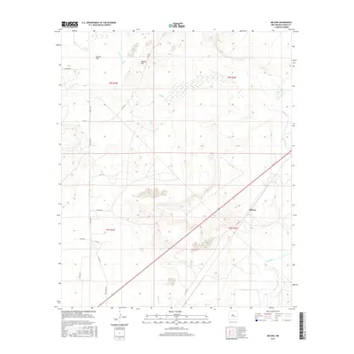 2017 Melena2017 Print · USGSCovers Melena, including Chaves County, United States, and other nearby areas
 - 2020 Map of Melena, 2020 Print
 2020 Melena2020 Print · USGSCovers Melena, including Chaves County, United States, and other nearby areas
 - 2023 Map of Melena, 2023 Print
 2023 Melena2023 Print · USGSChaves County's Pecos River wetlands and high-desert flats are captured here in recent detail. Researchers can trace the protected boundaries of the Salt Creek Wilderness and locate local landmarks like Melena and Skull Lake.
End of results
Showing maps 1-10 of 10
Top cities near Melena
Frequently asked questions
- What are the different types of historical maps available for Melena?
- What is the oldest map of Melena?
- Where can I purchase historical maps of Melena for my home or office?
- Where can I download high-res historical maps of Melena?
- Are there historical topographic maps available for Melena?
- Is there historical aerial imagery available for Melena?
- Where are historical maps of Melena sourced from?