2000s (21st Century) Maps of Hatch, New Mexico
Explore 20 historic maps of Hatch from the 2000s (21st Century). These maps offer a rare glimpse into what life looked like during the 2000s — showing old roads, neighborhoods, homes, and landmarks that have changed or disappeared over time.
Whether you're researching your family's past, planning a metal detecting trip, or studying how Hatch's landscape evolved across the 2000s, these high-resolution maps are a powerful tool for exploring the history of this region.
- Focus on a specific era: All maps on this page are from the 2000s, giving you a focused view of this time period.
- See what’s changed: Compare century-old streets, trails, and buildings to today's modern landscape using overlays and satellite layers.
- Research with precision: Use these maps for genealogy, historical research, land use analysis, or educational projects.
- View, download, or print: Maps are fully viewable online in high resolution, and can be downloaded or printed for your own records.
Start exploring Hatch's history through authentic maps from the 2000s. This is your window into the past.
Hatch, NM maps
(20)- 2010 Map of Hatch, 2010 Print
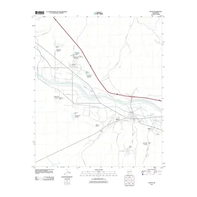 2010 Hatch2010 Print · USGSThe Rincon Valley's agricultural landscape comes into sharp focus during this period of New Mexico's modern development. Researchers can trace the sophisticated irrigation network from the Hatch Canal to the Hatch Drain and locate local landmarks like the Hatch Cemetery and Rodey.
 - 2010 Map of Arroyo Cuervo, 2010 Print
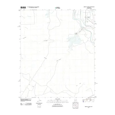 2010 Arroyo Cuervo2010 Print · USGSThe Rio Grande corridor and the arid southern New Mexico desert meet here in the first decade of the 2000s. Trace the complex water-management network of the Rincon Valley, from the McLeod Flood Control Project Dam to the Garfield Canal.
 - 2010 Map of Souse Springs, 2010 Print
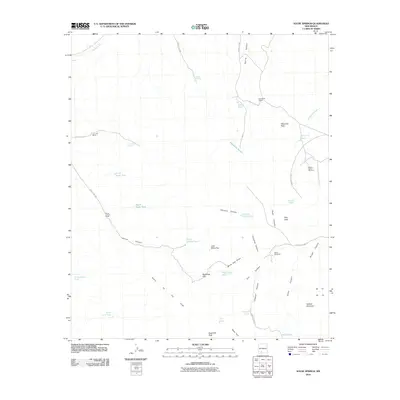 2010 Souse Springs2010 Print · USGSDoña Ana County ranching life is documented here in the early twenty-first century, showing the remote landscape of the Sierra de las Uvas. Genealogists and local historians can locate Las Uvas Ranch, Escondido Ranch, and working Alamo Windmills among the desert peaks.
 - 2010 Map of Hockett, 2010 Print
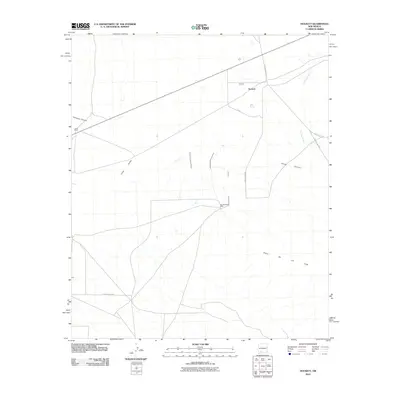 2010 Hockett2010 Print · USGSThe high desert of Doña Ana County is captured here in the early twenty-first century, showing a landscape defined by ranching and rugged canyons. Genealogists and researchers can locate family-named sites like Jones Ranch and Southerland Well near the Sierra De Las Uvas.
 - 2013 Map of Hatch, 2013 Print
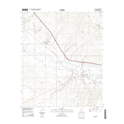 2013 Hatch2013 Print · USGSHatch and the surrounding valley communities are seen here in the early twenty-first century as the agricultural heart of the region. Genealogists and historians can locate the Hatch Cemetery and Rodey Cemetery, or trace the complex irrigation network of the Hatch Canal and Salem Lateral.
 - 2013 Map of Hockett, 2013 Print
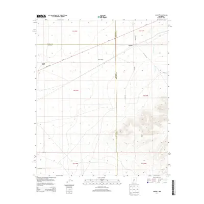 2013 Hockett2013 Print · USGSHockett and the high desert of Doña Ana County appear here in the early twenty-first century as a land of expansive cattle ranges and mountain peaks. Researchers can trace the drainage of Placitas Arroyo and the rugged slopes of the Sierra de las Uvas.
 - 2013 Map of Souse Springs, 2013 Print
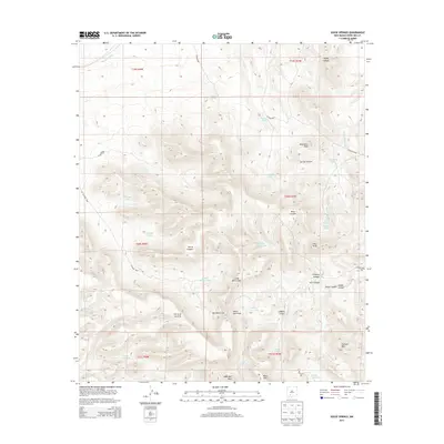 2013 Souse Springs2013 Print · USGSThe high desert of Doña Ana County is captured here in the early twenty-first century, showing a landscape defined by ranching and the Sierra de las Uvas. Researchers can trace old mountain routes and water sources like Souse Springs, Augustine Tank, and Tailholt Mtn.
 - 2013 Map of Arroyo Cuervo, 2013 Print
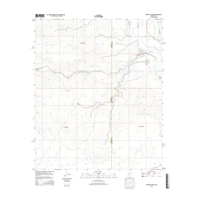 2013 Arroyo Cuervo2013 Print · USGSThe high desert meets the irrigated Rincon Valley in the early 2010s at the Sierra and Doña Ana County border. Genealogists and local historians can trace the intricate network of the Garfield Canal and Rio Grande near Arroyo Cuervo.
 - 2017 Map of Arroyo Cuervo, 2017 Print
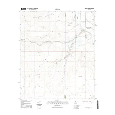 2017 Arroyo Cuervo2017 Print · USGSThe Rio Grande valley and the surrounding high desert meet in this 2010s survey of the Doña Ana and Sierra county line. Genealogists and local historians can trace the intricate irrigation infrastructure of the Rincon Valley, including the Garfield Canal and Arroyo Cuervo.
 - 2017 Map of Hockett, 2017 Print
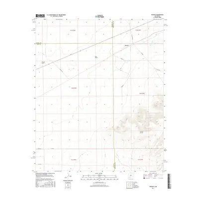 2017 Hockett2017 Print · USGSThe high desert at the junction of Sierra, Luna, and Doña Ana counties is captured here in the early twenty-first century. Researchers can trace the rugged topography of Sierra de las Uvas and the remote tracks of Las Uvas Diary Rd near Hockett.
 - 2017 Map of Souse Springs, 2017 Print
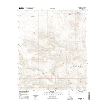 2017 Souse Springs2017 Print · USGSDoña Ana County's high desert is captured here in the late twenty-tens, showing a landscape defined by the Sierra de las Uvas. Researchers can trace the essential water network of the era through sites like Souse Springs, Las Uvas Spring, and Blanco Tank.
 - 2017 Map of Hatch, 2017 Print
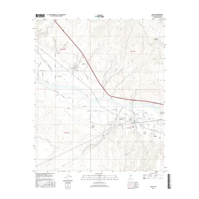 2017 Hatch2017 Print · USGSThe Rincon Valley and the Rio Grande corridor are captured in this recent survey of the Chile Capital of the World. Researchers can trace local family landmarks and burial sites like Hatch Cem, the residential streets of Salem, and the irrigation network of the Hatch Canal.
 - 2020 Map of Arroyo Cuervo, 2020 Print
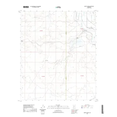 2020 Arroyo Cuervo2020 Print · USGSThe Mesilla Valley near the Sierra County line appears here in the modern era, showing the vital irrigation systems along the Rio Grande. Researchers can trace the complex water network of the Rincon Valley, from the Garfield Canal to the deeply cut Arroyo Cuervo.
 - 2020 Map of Souse Springs, 2020 Print
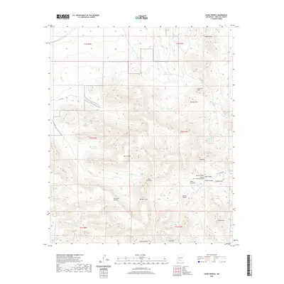 2020 Souse Springs2020 Print · USGSThe Sierra de las Uvas highlands are mapped here during the early twenty-first century, showing a remote landscape of volcanic peaks and ranching infrastructure. Researchers can locate essential water sources like Souse Springs and significant landmarks such as Peloncillo Peak and Tailholt Mtn.
 - 2020 Map of Hockett, 2020 Print
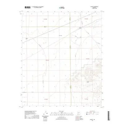 2020 Hockett2020 Print · USGSThe high desert of southern New Mexico meets at the junction of three counties in the contemporary era. Researchers can trace rural routes like Hilburn Dr and locate landmarks such as Hockett and the rising peaks of the Sierra de las Uvas.
 - 2020 Map of Hatch, 2020 Print
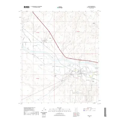 2020 Hatch2020 Print · USGSThe Rio Grande valley near Hatch comes into focus in this recent survey, showcasing the vital irrigation network of the Hatch Canal and Rodey Lateral. Genealogists and historians can trace the layouts of Salem and Placitas, or locate family sites at the Rodey Cem.
 - 2023 Map of Arroyo Cuervo, 2023 Print
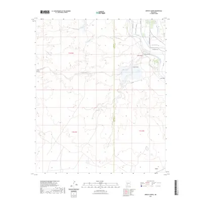 2023 Arroyo Cuervo2023 Print · USGSThe high desert and fertile valley floors of Sierra and Doña Ana counties meet in this recent survey of the Rio Grande corridor. Trace the irrigation networks of the Garfield Canal and Garfield Drain near Hatch.
 - 2023 Map of Hockett, 2023 Print
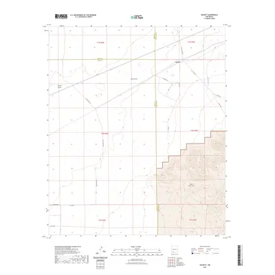 2023 Hockett2023 Print · USGSThe high-desert convergence of Sierra, Luna, and Doña Ana counties is captured here in the early twenty-first century. Researchers can trace rural road networks like Las Uvas Diary Rd and navigate the landforms of Horse Canyon and the Sierra de las Uvas.
 - 2023 Map of Hatch, 2023 Print
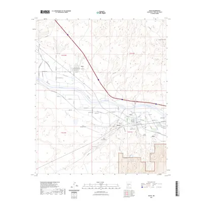 2023 Hatch2023 Print · USGSDona Ana County’s agricultural heartland along the Rio Grande is preserved here in the early twenty-first century. Genealogists and local historians can trace family locations near Salem Cem, the Placitas Hill Cem, and the extensive Hatch Canal system.
 - 2023 Map of Souse Springs, 2023 Print
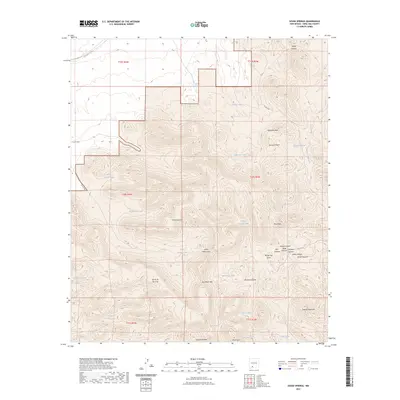 2023 Souse Springs2023 Print · USGSThe high desert of Doña Ana County is captured here in the early 2020s, revealing a landscape of remote mountain peaks and vital water catchments. Researchers can trace the rugged drainage of Broad Canyon and locate isolated landmarks like Souse Spring, Sugarloaf Peak, and Tailholt Mountain.
End of results
Showing maps 1-20 of 20
Frequently asked questions
- What are the different types of historical maps available for Hatch?
- What is the oldest map of Hatch?
- Where can I purchase historical maps of Hatch for my home or office?
- Where can I download high-res historical maps of Hatch?
- Are there historical topographic maps available for Hatch?
- Is there historical aerial imagery available for Hatch?
- Where are historical maps of Hatch sourced from?