Old Maps of Artesia, New Mexico for Academic Research
Study the evolution of Artesia with 21 high-resolution historic maps. Whether you're teaching, researching, or modeling changes in land use, these maps provide essential visual documentation of urban, environmental, and geographic change.
- Analyze long-term change: Track patterns in development, transportation, and natural features.
- Ideal for environmental or urban studies: Support academic projects with primary historical map data.
- Use in the classroom or lab: Educators and researchers rely on these maps to bring historical context to life.
These maps are a powerful tool for teaching, research, and visualizing how Artesia has changed over the decades.
Artesia, NM maps
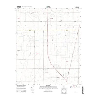
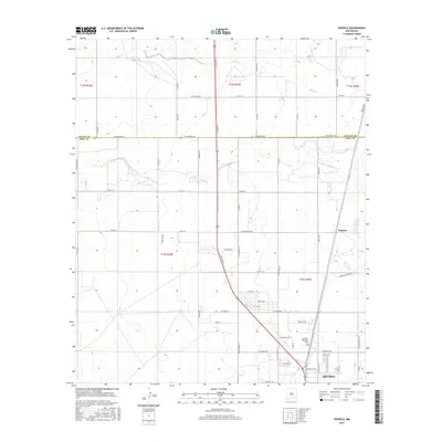
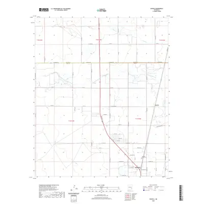
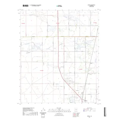
(21)- 1953 Map of Espuela, 1954 Print
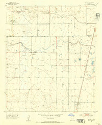 1953 Espuela1954 Print · USGSSoutheast New Mexico in the early fifties shows a landscape of artesian wells and shifting industry along the railroad. Researchers can locate the Cottonwood School, the Cottonwood Community Church, and the now-abandoned Walker Air Base Emergency Landing Field.2 unique versions available
 - 1954 Map of Carlsbad, 1963 Print
 1954 Carlsbad1963 Print · USGSSoutheastern New Mexico's desert peaks and river valleys appear in this mid-century study of the borderlands. Researchers can locate vanished sites like Sacramento City, trace the Pecos River reservoirs, and explore Carlsbad Caverns.3 unique versions available
 - 1955 Map of Artesia
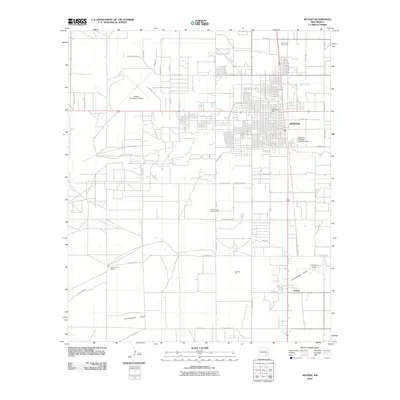
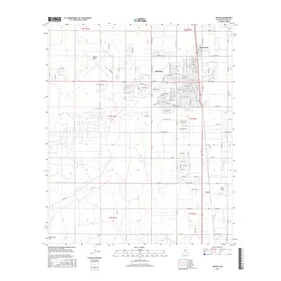
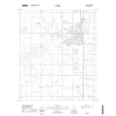
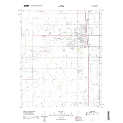
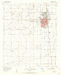 1955 Artesia1955 Print · USGSArtesia during the mid-fifties is a bustling railroad and refinery town where the city grid meets the vast Eddy County ranch lands. Genealogists and local historians can trace the foundations of the community through the Prisoner of War Camp, McKinstry Ranch, and neighborhood schools like Hermosa Sch.2 unique versions available
 - 1955 Map of Spring Lake, 1956 Print
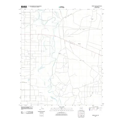
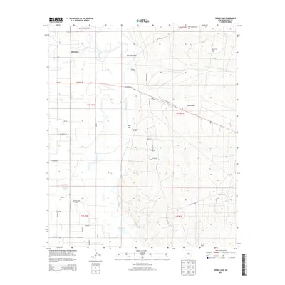
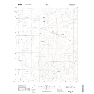
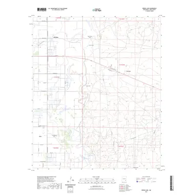
 1955 Spring Lake1956 Print · USGSEddy County, New Mexico, is captured in the mid-fifties as the petroleum industry reshaped the Pecos River valley. Researchers can trace the extensive network of the Empire Oil Field and find specific landmarks like Spring Lake and the Gaging Station.3 unique versions available
 - 1958 Map of Carlsbad
 1958 Carlsbad1958 Print · USGSSoutheastern New Mexico in the mid-1950s shows a landscape of deep desert basins and high forest ranges during a period of steady ranching and early tourism. Researchers can trace the path of the Atchison Topeka and Santa Fe railroad or find vanished locales like Sacramento City (abandoned) and Whites City.2 unique versions available
 - 1978 Map of Artesia, 1979 Print
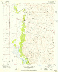
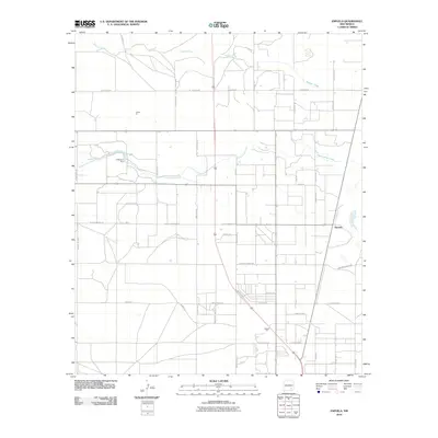
 1978 Artesia1979 Print · USGSThe Pecos River valley in southeastern New Mexico comes alive in the late seventies, showing the intersection of rail-line agriculture and oil-field growth. Trace the path of the Atchison Topeka and Santa Fe through settlements like Dayton, Espuela, and Lakewood near Lake McMillan.
 - 2010 Map of Espuela, 2010 Print
 2010 Espuela2010 Print · USGSCovers Artesia, including Espuela, Chaves County, and other nearby areas
 - 2010 Map of Artesia, 2010 Print
 2010 Artesia2010 Print · USGSCovers Artesia, including Atoka, Eddy County, and other nearby areas
 - 2010 Map of Spring Lake, 2010 Print
 2010 Spring Lake2010 Print · USGSCovers Artesia, including Riverside, Eddy County, and other nearby areas
 - 2013 Map of Artesia, 2013 Print
 2013 Artesia2013 Print · USGSCovers Artesia, including Atoka, Eddy County, and other nearby areas
 - 2013 Map of Espuela, 2013 Print
 2013 Espuela2013 Print · USGSCovers Artesia, including Espuela, Chaves County, and other nearby areas
 - 2013 Map of Spring Lake, 2013 Print
 2013 Spring Lake2013 Print · USGSCovers Artesia, including Riverside, Eddy County, and other nearby areas
 - 2017 Map of Artesia, 2017 Print
 2017 Artesia2017 Print · USGSCovers Artesia, including Atoka, Eddy County, and other nearby areas
 - 2017 Map of Spring Lake, 2017 Print
 2017 Spring Lake2017 Print · USGSCovers Artesia, including Riverside, Eddy County, and other nearby areas
 - 2017 Map of Espuela, 2017 Print
 2017 Espuela2017 Print · USGSCovers Artesia, including Espuela, Chaves County, and other nearby areas
 - 2020 Map of Spring Lake, 2020 Print
 2020 Spring Lake2020 Print · USGSCovers Artesia, including Riverside, Eddy County, and other nearby areas
 - 2020 Map of Espuela, 2020 Print
 2020 Espuela2020 Print · USGSCovers Artesia, including Espuela, Chaves County, and other nearby areas
 - 2020 Map of Artesia, 2020 Print
 2020 Artesia2020 Print · USGSCovers Artesia, including Atoka, Eddy County, and other nearby areas
 - 2023 Map of Spring Lake, 2023 Print
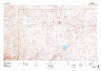
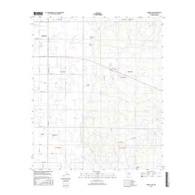
 2023 Spring Lake2023 Print · USGSEddy County at the Pecos River comes into focus in this recent survey of the transition from city to high desert. Researchers can trace the development of Artesia and Atoka or follow the natural course of Dog Canyon Draw and Spring Lake.
 - 2023 Map of Artesia, 2023 Print
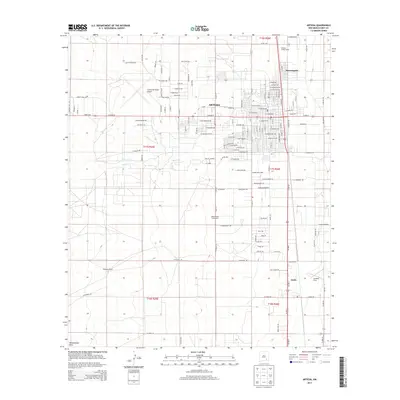
 2023 Artesia2023 Print · USGSSoutheastern New Mexico's high plains are documented here in the early twenty-first century, centered on the growing community of Artesia. Genealogists and historians can trace local landmarks like Woodbine Cem, Turknett Cem, and the nearby settlement of Atoka.
 - 2023 Map of Espuela, 2023 Print
 2023 Espuela2023 Print · USGSThe northern edge of Artesia meets the open landscape of southeastern New Mexico in this recent topographic study. Researchers can trace the rural development around Espuela and locate family landmarks such as the Twin Oaks Memorial Park.
End of results
Showing maps 1-21 of 21
Top cities near Artesia
Frequently asked questions
- What are the different types of historical maps available for Artesia?
- What is the oldest map of Artesia?
- Where can I purchase historical maps of Artesia for my home or office?
- Where can I download high-res historical maps of Artesia?
- Are there historical topographic maps available for Artesia?
- Is there historical aerial imagery available for Artesia?
- Where are historical maps of Artesia sourced from?