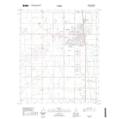
2020 Map of Artesia
USGS Topo · Published 2020About this map
Artesia serves as the central hub of this Eddy County landscape, where a dense grid of streets like W Main St and W Grand Ave transitions into the surrounding agricultural and ranch lands. The community of Morningside sits to the northeast, while the settlement of Atoka anchors the southern portion of the map. Aviation history and regional transit are marked by the Artesia Municipal Airport to the west and the 2 X 4 Ranch Airport further south, illustrating the importance of air travel in this expansive terrain. Water drainage patterns are defined by the winding course of Eagle Cr and the topographical depression of Tumbleweed Draw, which cut through the survey's township and range sections. The map reveals the structured development of the high plains, where rural roads such as Gissler Rd and Richey Ave connect isolated ranching properties to the urban core.
Find a feature on this map
135 named features on this map. Tap any name to fly to it.
Don’t see what you’re looking for? This feature index may not catch every label — zoom into the map to look around manually.
Map Details
Editions of this 2020 Artesia Map
This is the sole edition of this map. No revisions or reprints were ever made.
Other maps of this area
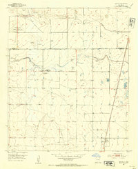
1953 · Espuela
USGS Topo · 1:24,000

1954 · Carlsbad
USGS Topo · 1:250,000
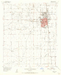
1955 · Artesia
USGS Topo · 1:24,000
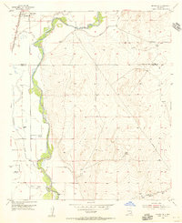
1955 · Artesia NE
USGS Topo · 1:24,000
1955 · Spring Lake
USGS Topo · 1:24,000
1955 · Dayton
USGS Topo · 1:24,000
1955 · Lake Mc Millan North
USGS Topo · 1:24,000
1955 · Hope NE
USGS Topo · 1:24,000
1956 · Parish Ranch
USGS Topo · 1:24,000
1956 · Hope SE
USGS Topo · 1:24,000