
1955 Map of Spring Lake
USGS Topo · Published 1956About this map
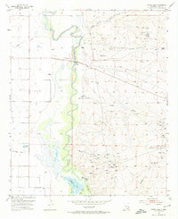
The Pecos River dominates this mid-century landscape of southeastern New Mexico, accompanied by complex hydrology including the Kaiser Channel and the Pecos River (Old Channel). While the river bottom provides a lush contrast to the surrounding arid terrain, the eastern uplands are defined by a burgeoning mid-1950s petroleum industry. Deep-set draws like Dog Canyon Draw, Hart Canyon, and Logan Draw cut through the plains toward the river valley, providing natural drainage for the expansive Empire Oil Field and Daugherty Oil Field. This survey captures a specific era of resource extraction where every oil well was active at the time of mapping, supported by infrastructure such as a Pumping Station and a Gaging Station along the waterway. Topographic details reveal the transition from the seasonal waters of Tumbleweed Draw to more permanent features like Spring Lake and Brainard Lake.
Find a feature on this map
18 named features on this map. Tap any name to fly to it.
Don’t see what you’re looking for? This feature index may not catch every label — zoom into the map to look around manually.
Map Details
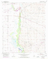
Editions of this 1955 Spring Lake Map
Other maps of this area

1943 · Oil City
USGS Topo · 1:62,500

1951 · Diamond Mound
USGS Topo · 1:24,000

1953 · Espuela
USGS Topo · 1:24,000

1954 · Carlsbad
USGS Topo · 1:250,000

1955 · Artesia
USGS Topo · 1:24,000

1955 · Artesia NE
USGS Topo · 1:24,000

1955 · Dayton
USGS Topo · 1:24,000

1955 · Lake Mc Millan North
USGS Topo · 1:24,000

1955 · Red Lake
USGS Topo · 1:24,000

1958 · Carlsbad
USGS Topo · 1:250,000