
1955 Map of Dayton
USGS Topo · Published 1956About this map
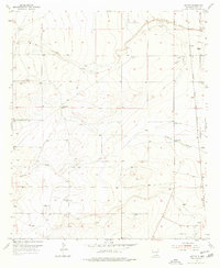
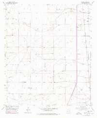
Rio Peñasco meanders through this arid landscape of the Pecos Valley, where the Atchison Topeka and Santa Fe railroad corridor serves as the primary artery for local transport. This mid-century survey captures the settlement of Dayton and the nearby 100 Ranch, illustrating a ranching and transportation-based economy supported by scattered Windmill installations and industrial Gravel Pits. Water management is a visible priority, evidenced by the presence of a Gaging Station and the drainage patterns of Fourmile Draw and North Seven Rivers. The map provides a detailed view of the sectional grid and early infrastructure that shaped Eddy County’s development before significant urban expansion altered the rural character of the Pecos River basin.
Find a feature on this map
11 named features on this map. Tap any name to fly to it.
Don’t see what you’re looking for? This feature index may not catch every label — zoom into the map to look around manually.
Map Details
Editions of this 1955 Dayton Map
3 editions found
Other maps of this area

1954 · Seven Rivers
USGS Topo · 1:24,000

1954 · Carlsbad
USGS Topo · 1:250,000

1955 · Artesia
USGS Topo · 1:24,000

1955 · Spring Lake
USGS Topo · 1:24,000

1955 · Lake Mc Millan North
USGS Topo · 1:24,000

1955 · Lake Mc Millan South
USGS Topo · 1:24,000

1956 · Parish Ranch
USGS Topo · 1:24,000

1956 · Hope SE
USGS Topo · 1:24,000

1957 · Foster Ranch
USGS Topo · 1:24,000

1958 · Carlsbad
USGS Topo · 1:250,000