
1957 Map of Foster Ranch
USGS Topo · Published 1959About this map
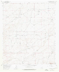
Foster Ranch and several family-named outposts characterize this arid stretch of Eddy County during the late 1950s. The landscape is defined by its water management and early energy exploration, evidenced by the presence of the Oil City Well, Old Ball Well, and several strategically placed tanks like Horner Tank and CC Tank. The drainage pattern is dominated by the seasonal paths of Dagger Draw and the forks of the Seven Rivers, including Middle Seven Rivers and South Seven Rivers.
Find a feature on this map
25 named features on this map. Tap any name to fly to it.
Don’t see what you’re looking for? This feature index may not catch every label — zoom into the map to look around manually.
Map Details
Editions of this 1957 Foster Ranch Map
2 editions found
Other maps of this area

1940 · Bandanna Point
USGS Topo · 1:62,500

1943 · Bandanna Point
USGS Topo · 1:62,500

1943 · West Carlsbad
USGS Topo · 1:62,500

1945 · West Carlsbad
USGS Topo · 1:62,500

1954 · Seven Rivers
USGS Topo · 1:24,000

1954 · Carlsbad
USGS Topo · 1:250,000

1955 · Dayton
USGS Topo · 1:24,000

1956 · Parish Ranch
USGS Topo · 1:24,000

1956 · Antelope Sink
USGS Topo · 1:24,000

1957 · Box Canyon Ranch
USGS Topo · 1:24,000