Old Maps of Artesia, New Mexico for Hiking & Exploration
Hike through history with 21 historic maps of Artesia. Explore old trails, ghost towns, and forgotten backroads — perfect for outdoor adventurers and local explorers.
- Rediscover forgotten places: Map out old mining camps, roads, and footpaths that no longer exist on modern maps.
- Layer with modern tools: Combine with LiDAR or satellite views to plan hikes through historical terrain.
- Made for exploration: Popular among hikers, overlanders, and local history lovers.
Use these maps to find adventure and explore the hidden past of Artesia.
Artesia, NM maps
(21)- 1953 Map of Espuela, 1954 Print
 1953 Espuela1954 Print · USGSSoutheast New Mexico in the early fifties shows a landscape of artesian wells and shifting industry along the railroad. Researchers can locate the Cottonwood School, the Cottonwood Community Church, and the now-abandoned Walker Air Base Emergency Landing Field.2 unique versions available
 - 1954 Map of Carlsbad, 1963 Print
 1954 Carlsbad1963 Print · USGSSoutheastern New Mexico's desert peaks and river valleys appear in this mid-century study of the borderlands. Researchers can locate vanished sites like Sacramento City, trace the Pecos River reservoirs, and explore Carlsbad Caverns.3 unique versions available
 - 1955 Map of Artesia
 1955 Artesia1955 Print · USGSArtesia during the mid-fifties is a bustling railroad and refinery town where the city grid meets the vast Eddy County ranch lands. Genealogists and local historians can trace the foundations of the community through the Prisoner of War Camp, McKinstry Ranch, and neighborhood schools like Hermosa Sch.2 unique versions available
 - 1955 Map of Spring Lake, 1956 Print
 1955 Spring Lake1956 Print · USGSEddy County, New Mexico, is captured in the mid-fifties as the petroleum industry reshaped the Pecos River valley. Researchers can trace the extensive network of the Empire Oil Field and find specific landmarks like Spring Lake and the Gaging Station.3 unique versions available
 - 1958 Map of Carlsbad
 1958 Carlsbad1958 Print · USGSSoutheastern New Mexico in the mid-1950s shows a landscape of deep desert basins and high forest ranges during a period of steady ranching and early tourism. Researchers can trace the path of the Atchison Topeka and Santa Fe railroad or find vanished locales like Sacramento City (abandoned) and Whites City.2 unique versions available
 - 1978 Map of Artesia, 1979 Print
 1978 Artesia1979 Print · USGSThe Pecos River valley in southeastern New Mexico comes alive in the late seventies, showing the intersection of rail-line agriculture and oil-field growth. Trace the path of the Atchison Topeka and Santa Fe through settlements like Dayton, Espuela, and Lakewood near Lake McMillan.
 - 2010 Map of Espuela, 2010 Print
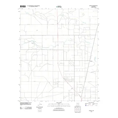 2010 Espuela2010 Print · USGSEddy County ranching and industry are captured here at the start of the 2010s, showing a landscape defined by desert water management. Trace the local geography through sites like O'Bannon Dam, the settlement of Espuela, and family-named landmarks like Lawrence Ranch Rd.
 - 2010 Map of Artesia, 2010 Print
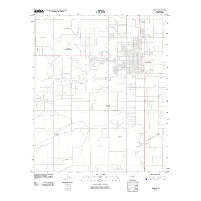 2010 Artesia2010 Print · USGSArtesia and its surrounding ranchlands are captured here in the early twenty-first century, showing the intersection of urban growth and rural industry. Family researchers can locate the Prisoner of War Camp, trace the community of Atoka, or find landmarks like the Eddy County Fairgrounds.
 - 2010 Map of Spring Lake, 2010 Print
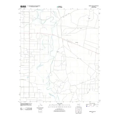 2010 Spring Lake2010 Print · USGSThe Pecos River valley in Eddy County is shown here in the early 21st century, dominated by ranching roads and petroleum production. Researchers can trace land use through local landmarks like Riverside and industrial sites including the Daugherty Oil Field and Logan Draw Oil Field.
 - 2013 Map of Artesia, 2013 Print
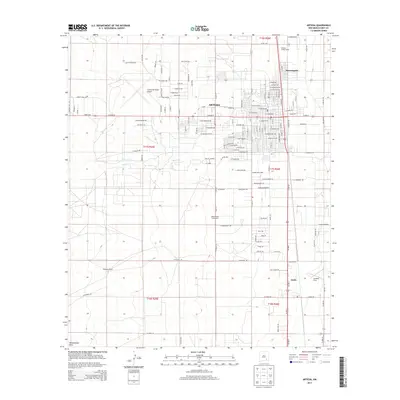 2013 Artesia2013 Print · USGSArtesia and the surrounding Pecos Valley plains are shown here in the early twenty-first century as they balance modern growth with wartime history. Researchers can locate the Prisoner of War Camp north of town or trace rural boundaries at Atoka and McKinstry Ranch.
 - 2013 Map of Espuela, 2013 Print
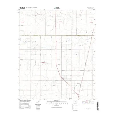 2013 Espuela2013 Print · USGSThe high desert landscape north of Artesia comes into focus in this 2013 survey of the Chaves and Eddy County line. Genealogists and local historians can trace the road networks around Espuela and family landmarks like Lawrence Ranch Road.
 - 2013 Map of Spring Lake, 2013 Print
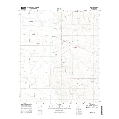 2013 Spring Lake2013 Print · USGSSoutheast New Mexico's river-fed valley and energy-rich plains are documented here in the early twenty-first century. Researchers can trace the development of the Logan Draw Oil Field and Empire Oil Field near the Pecos River.
 - 2017 Map of Artesia, 2017 Print
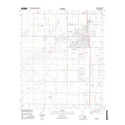 2017 Artesia2017 Print · USGSArtesia and its surrounding ranchlands are documented here in the late 2010s. Researchers can trace the development of neighborhood grids in Morningside or locate rural landmarks like the 2 X 4 Ranch Airport and Atoka.
 - 2017 Map of Spring Lake, 2017 Print
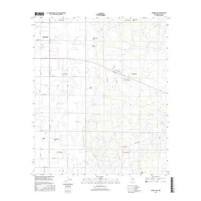 2017 Spring Lake2017 Print · USGSThe Pecos River valley south of Artesia is shown here during a period of modern rural expansion. Genealogists and local historians can trace family properties and water access near Atoka, Riverside, and the distinct banks of Brainard Lake.
 - 2017 Map of Espuela, 2017 Print
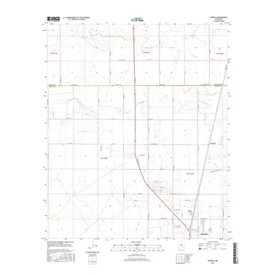 2017 Espuela2017 Print · USGSArtesia and its northern outskirts are captured here during the late twenty-teens as the city expanded into the surrounding ranchlands. Genealogists and local historians can trace family land ties along Lawrence Ranch Rd and explore the area around Espuela and Twin Oaks Memorial Park.
 - 2020 Map of Spring Lake, 2020 Print
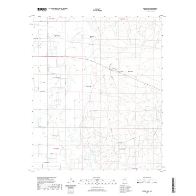 2020 Spring Lake2020 Print · USGSThe eastern outskirts of Artesia and the Pecos River valley are captured here in the early twenty-first century. Researchers can trace the local landscape from Spring Lake and Riverside to the seasonal drainage of Dog Canyon Draw and Tumbleweed Draw.
 - 2020 Map of Espuela, 2020 Print
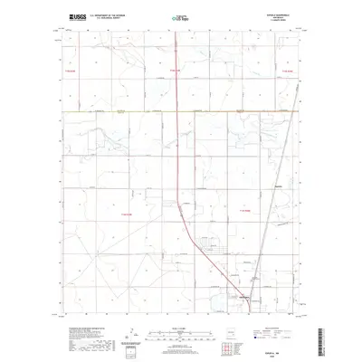 2020 Espuela2020 Print · USGSThe northern reaches of the Pecos Valley are captured here as they appeared in 2020, where the community of Artesia meets the open plains. Researchers can trace the rural landscape from Espuela to Twin Oaks Memorial Park along the banks of Walnut Creek.
 - 2020 Map of Artesia, 2020 Print
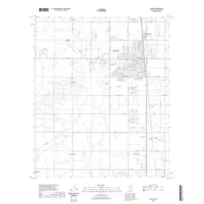 2020 Artesia2020 Print · USGSThe Pecos Valley ranching and aviation corridor comes into focus in this recent survey of Eddy County. Researchers can trace local property lines and developments near Artesia, the neighborhood of Morningside, and landmarks like the 2 X 4 Ranch Airport.
 - 2023 Map of Spring Lake, 2023 Print
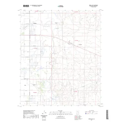 2023 Spring Lake2023 Print · USGSEddy County at the Pecos River comes into focus in this recent survey of the transition from city to high desert. Researchers can trace the development of Artesia and Atoka or follow the natural course of Dog Canyon Draw and Spring Lake.
 - 2023 Map of Artesia, 2023 Print
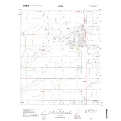 2023 Artesia2023 Print · USGSSoutheastern New Mexico's high plains are documented here in the early twenty-first century, centered on the growing community of Artesia. Genealogists and historians can trace local landmarks like Woodbine Cem, Turknett Cem, and the nearby settlement of Atoka.
 - 2023 Map of Espuela, 2023 Print
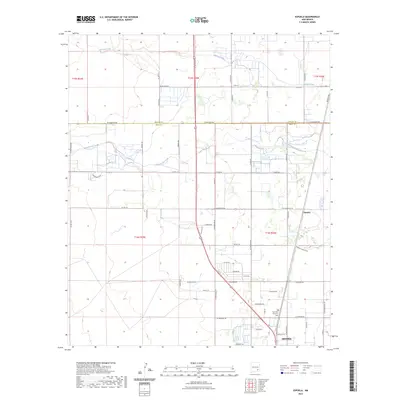 2023 Espuela2023 Print · USGSThe northern edge of Artesia meets the open landscape of southeastern New Mexico in this recent topographic study. Researchers can trace the rural development around Espuela and locate family landmarks such as the Twin Oaks Memorial Park.
End of results
Showing maps 1-21 of 21
Top cities near Artesia
Frequently asked questions
- What are the different types of historical maps available for Artesia?
- What is the oldest map of Artesia?
- Where can I purchase historical maps of Artesia for my home or office?
- Where can I download high-res historical maps of Artesia?
- Are there historical topographic maps available for Artesia?
- Is there historical aerial imagery available for Artesia?
- Where are historical maps of Artesia sourced from?