Old Maps of Pierce Canyon Crossing, New Mexico for Hiking & Exploration
Hike through history with 9 historic maps of Pierce Canyon Crossing. Explore old trails, ghost towns, and forgotten backroads — perfect for outdoor adventurers and local explorers.
- Rediscover forgotten places: Map out old mining camps, roads, and footpaths that no longer exist on modern maps.
- Layer with modern tools: Combine with LiDAR or satellite views to plan hikes through historical terrain.
- Made for exploration: Popular among hikers, overlanders, and local history lovers.
Use these maps to find adventure and explore the hidden past of Pierce Canyon Crossing.
Pierce Canyon Crossing, NM maps
(9)- 1954 Map of Hobbs, 1963 Print
 1954 Hobbs1963 Print · USGSThe High Plains and Permian Basin transition is captured here at the height of the mid-century energy boom. Genealogists and industrial historians can trace the foundations of Humble City, locate the Potash Mine and Plant, and follow the Texas-New Mexico RR.2 unique versions available
 - 1958 Map of Hobbs
 1958 Hobbs1958 Print · USGSThe High Plains of the Texas-New Mexico border are shown here during the height of the mid-century oil boom. Genealogists and historians can trace the development of Hobbs, Lovington, and Jal, alongside ranching landmarks like James Ranch and the early Texas-New Mexico Railway.
 - 1968 Map of Pierce Canyon, 1971 Print
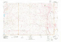
 1968 Pierce Canyon1971 Print · USGSThe Pecos River valley in Eddy County appears here during the late sixties, showing a landscape defined by irrigation and early oil expansion. Researchers can trace historic water routes like Harroun Canal and locate remote sites like Carper Windmill and the Pierce Canyon Crossing.
 - 1978 Map of Jal, 1979 Print
 1978 Jal1979 Print · USGSSoutheast New Mexico in the late seventies is a landscape shaped by energy production and the rugged Llano Estacado. Genealogists and industrial historians can trace the growth of Jal and Eunice along the Texas-New Mexico RR and across the Jal Oil Field.
 - 2010 Map of Pierce Canyon, 2010 Print
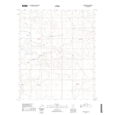
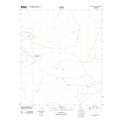 2010 Pierce Canyon2010 Print · USGSCovers Pierce Canyon Crossing, including Eddy County, United States, and other nearby areas
 - 2013 Map of Pierce Canyon, 2013 Print
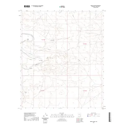
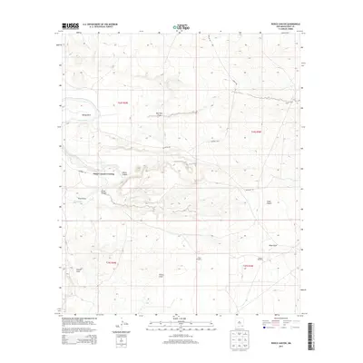 2013 Pierce Canyon2013 Print · USGSCovers Pierce Canyon Crossing, including Eddy County, United States, and other nearby areas
 - 2017 Map of Pierce Canyon, 2017 Print
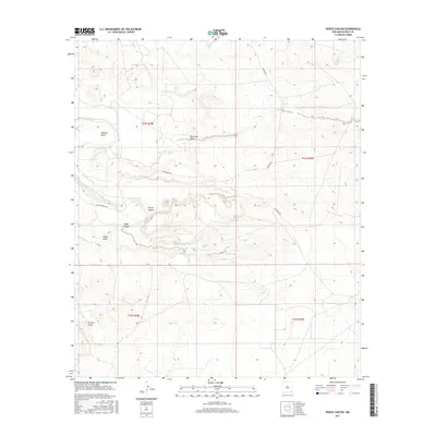 2017 Pierce Canyon2017 Print · USGSCovers Pierce Canyon Crossing, including Eddy County, United States, and other nearby areas
 - 2020 Map of Pierce Canyon, 2020 Print
 2020 Pierce Canyon2020 Print · USGSCovers Pierce Canyon Crossing, including Eddy County, United States, and other nearby areas
 - 2023 Map of Pierce Canyon, 2023 Print
 2023 Pierce Canyon2023 Print · USGSThe Pecos River valley in Eddy County is captured here in the early twenty-first century, showcasing its distinctive hydraulic and desert terrain. Researchers can trace the courses of the Livingston Canal and deep cuts like Pierce Canyon or Malaga Bend.
End of results
Showing maps 1-9 of 9
Top cities near Pierce Canyon Crossing
Frequently asked questions
- What are the different types of historical maps available for Pierce Canyon Crossing?
- What is the oldest map of Pierce Canyon Crossing?
- Where can I purchase historical maps of Pierce Canyon Crossing for my home or office?
- Where can I download high-res historical maps of Pierce Canyon Crossing?
- Are there historical topographic maps available for Pierce Canyon Crossing?
- Is there historical aerial imagery available for Pierce Canyon Crossing?
- Where are historical maps of Pierce Canyon Crossing sourced from?