1960s Maps of Grant County, New Mexico
Explore 44 historic maps of Grant County from the 1960s. These maps offer a rare glimpse into what life looked like during the 1960s — showing old roads, neighborhoods, homes, and landmarks that have changed or disappeared over time.
Whether you're researching your family's past, planning a metal detecting trip, or studying how Grant County's landscape evolved across the 1960s, these high-resolution maps are a powerful tool for exploring the history of this region.
- Focus on a specific era: All maps on this page are from the 1960s, giving you a focused view of this time period.
- See what’s changed: Compare century-old streets, trails, and buildings to today's modern landscape using overlays and satellite layers.
- Research with precision: Use these maps for genealogy, historical research, land use analysis, or educational projects.
- View, download, or print: Maps are fully viewable online in high resolution, and can be downloaded or printed for your own records.
Start exploring Grant County's history through authentic maps from the 1960s. This is your window into the past.
Grant County, NM maps
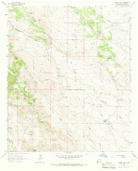
(44)- 1961 Map of Douglas
 1961 Douglas1961 Print · USGSThe Arizona-Mexico borderlands come into focus at mid-century, detailing the vital mining and ranching hubs of Cochise County and southwest New Mexico. Genealogists and historians can trace the Southern Pacific Railroad through Bisbee and Douglas, or locate early sites like the Old Hachita Mine and Rucker School.
 - 1962 Map of Silver City
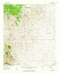
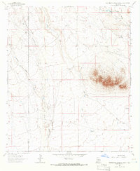
 1962 Silver City1962 Print · USGSThe high desert borderlands of New Mexico and Arizona come alive in this early sixties survey. Genealogists and historians can trace the mining economy through the Chino Mine, follow the rail routes of the Southern Pacific, or locate settlements like Virden and Bayard.
 - 1962 Map of Clifton
 1962 Clifton1962 Print · USGSThe copper-rich Arizona-New Mexico borderlands come into focus in the early sixties, centered on the mining complexes of Morenci and Clifton. Researchers can trace the Southern Pacific rail lines and locate remote outposts like Honeymoon and the Double Circle Ranch.
 - 1962 Map of Lake Valley, 1964 Print
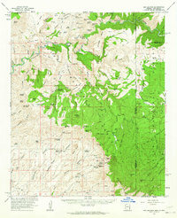
 1962 Lake Valley1964 Print · USGSSierra County's mining and ranching history comes alive in this early 1960s survey of the high-desert country. Trace the Old Railroad Grade leading to the famous Bridal Chamber Mine and locate family outposts like the Rooth Ranch and DeMuth Ranch.2 unique versions available
 - 1962 Map of Big Lue Mts, 1964 Print
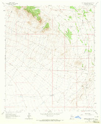
 1962 Big Lue Mts1964 Print · USGSThe Arizona and New Mexico borderlands come to life in this early 1960s survey of the high mesas and deep river canyons. Genealogists and researchers can trace isolated homesteads like Martinez Ranch and historic landmarks like the Cliff Dwelling or Black Jack Cave.2 unique versions available
 - 1962 Map of Ninetysix Ranch, 1965 Print
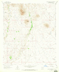
 1962 Ninetysix Ranch1965 Print · USGSGrant County ranching and transit history are preserved in this early 1960s survey of the high desert. Researchers can trace the path of the Butterfield Trail and locate isolated landmarks like the Ninetysix Ranch and the Pendleton Windmill.2 unique versions available
 - 1962 Map of Lisbon, 1978 Print
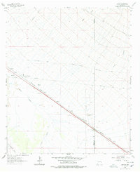 1962 Lisbon1978 Print · USGSHidalgo County in the early sixties is shown here as a critical transportation corridor through the high desert. Researchers can trace the path of the Butterfield Trail and the Southern Pacific line, passing by Lisbon and Mesquite Windmill.2 unique versions available
 - 1963 Map of Bonner Canyon, 1965 Print
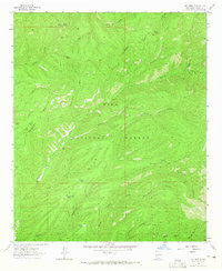
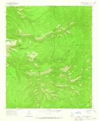 1963 Bonner Canyon1965 Print · USGSThe Continental Divide cuts through the Gila National Forest in the early sixties, illustrating a landscape defined by high peaks and ranching heritage. Researchers can trace water sources and named landmarks like Me Own Tank, Alligator Tank, and the Rastus Flats plateau.2 unique versions available
 - 1963 Map of Gage SW, 1965 Print
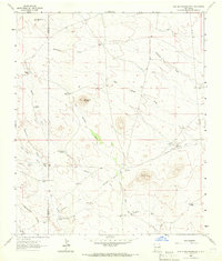
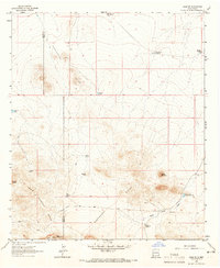 1963 Gage SW1965 Print · USGSSouthwestern Luna County was defined by its high-altitude ranching and water infrastructure during the early sixties. Genealogists and historians can trace the Continental Divide as it crosses the Home Ranch and locate remote landmarks like the Honeymoon Windmill and Turkey Knob.2 unique versions available
 - 1963 Map of Gold Hill, 1965 Print
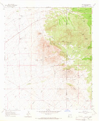 1963 Gold Hill1965 Print · USGSHidalgo and Grant Counties are documented here in the early 1960s, showing a rugged landscape defined by mountain ranching and hard-rock mining. Researchers can trace historic mineral claims like the Golden Cross Mine and locate family landmarks such as Cline Ranch and Gold Hill Cemetery.2 unique versions available
 - 1963 Map of Reeds Peak, 1965 Print
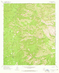 1963 Reeds Peak1965 Print · USGSThe high backcountry of the Black Range comes into focus during the early sixties, showing the remote canyon lands of the Gila National Forest. Researchers can trace historic mountain activity through the locations of Reeds Ranch, the Whitmore Cabin, and the Lookout Tower atop Reeds Peak.2 unique versions available
 - 1963 Map of Hay Mesa, 1965 Print
 1963 Hay Mesa1965 Print · USGSThe high country of the Gila National Forest is mapped here during the early 1960s, showing the intersection of vital water sources and rugged backcountry routes. You can trace the Continental Divide Pack Trail past landmarks like Signboard Saddle and livestock watering points like Lincoln Tank or Kelly Tank.2 unique versions available
 - 1963 Map of Soldiers Farewell Hill, 1965 Print
 1963 Soldiers Farewell Hill1965 Print · USGSGrant County ranching and transit history are preserved in this mid-century survey of the high desert. Researchers can trace the path of the Butterfield Trail near the Soldiers Farewell Stage Station and family landmarks like Jarrell Ranch.2 unique versions available
 - 1963 Map of Victoria Park, 1965 Print
 1963 Victoria Park1965 Print · USGSThe Black Range high country in the early sixties was a landscape of remote mountain outposts and critical water sources. Researchers can locate isolated landmarks like the McKnight Fire Cabin and historic clearings such as Kelso Place or Murphy Place.2 unique versions available
 - 1963 Map of Cow Springs Mountain, 1966 Print
 1963 Cow Springs Mountain1966 Print · USGSThe high desert of Luna and Grant Counties comes into focus in the early 1960s, showing the intersection of ranching life and western transit. Researchers can trace the historic Butterfield Trail and locate family landmarks like the Dave Smith Windmill or Trinity Ranch.2 unique versions available
 - 1963 Map of Gage NW, 1966 Print
 1963 Gage NW1966 Print · USGSSouthwestern New Mexico's high desert reveals its ranching and rail infrastructure in the early sixties as the Continental Divide crosses the landscape. Genealogists and historians can locate old cattle outposts like Parker Ranch and remote rail sidings at Wilna.2 unique versions available
 - 1963 Map of Werney Hill, 1966 Print
 1963 Werney Hill1966 Print · USGSGrant County ranching and mining country are documented here in the early 1960s as the CONTINENTAL DIVIDE crosses high desert plains. Researchers can locate established cattle operations like Morrow Ranch and trace mineral prospects at the Trimmer Mine.2 unique versions available
 - 1963 Map of Grandmother Mountain West, 1966 Print
 1963 Grandmother Mountain West1966 Print · USGSLuna and Grant Counties are captured in the early sixties as ranching operations managed the arid high desert along the Continental Divide. Trace family-named landmarks like Turner Windmill and Sibley Windmill near the base of Grandmother Mountain.
 - 1963 Map of C Bar Ranch, 1966 Print
 1963 C Bar Ranch1966 Print · USGSGrant County ranchlands are captured here in the early sixties, showing the high country where the Continental Divide meets the Gila National Forest. Researchers can locate old homesteads and water sources like C Bar Ranch, Glaze Ranch, and Whitetail Tank.2 unique versions available
 - 1964 Map of Douglas
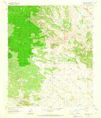
 1964 Douglas1964 Print · USGSThe Arizona-New Mexico borderlands in the early sixties reveal a landscape of deep-rooted copper mining and high-desert ranching. Genealogists and researchers can trace the legacy of settlements like Pirtleville, the industrial site of the Copper Smelter, and remnants of the Cochise Mines.
 - 1964 Map of Muir Ranch, 1966 Print
 1964 Muir Ranch1966 Print · USGSThe high desert of Hidalgo and Grant counties is shown here in the mid-1960s, defined by its ranching economy and rail history. Trace family-named landmarks and infrastructure such as Muir Ranch, the Old Railroad Grade, and Homestead Hill.2 unique versions available
 - 1964 Map of The Saltys, 1966 Print
 1964 The Saltys1966 Print · USGSGrant County’s high desert landscape is documented here in the 1960s, capturing a terrain defined by ranching and old transport lines. You can trace the Old RR Grade and locate isolated water sources like Little Windmill and Murray Wells.
 - 1964 Map of Separ NE, 1966 Print
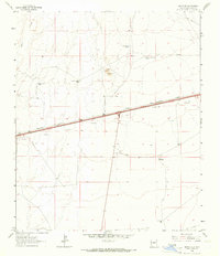 1964 Separ NE1966 Print · USGSGrant County ranching and rail infrastructure are captured here in the mid-sixties, showcasing a landscape of isolated homesteads and vital water tanks. Researchers can locate family landmarks like the Moore Homestead and trace the path of the Southern Pacific railroad.2 unique versions available
 - 1964 Map of Separ, 1966 Print
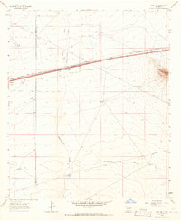
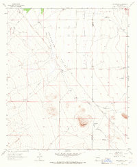
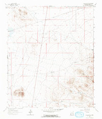
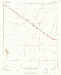 1964 Separ1966 Print · USGSMid-century Grant County is shown here as the era of cross-country highway travel began to reshape the ranching landscape. You can trace the shift from the Old Railroad Grade to the modern Interstate 10, while locating specific family operations like Moore Ranch and Separ Ranch.2 unique versions available
 - 1964 Map of Coyote Peak, 1966 Print
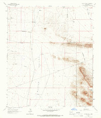 1964 Coyote Peak1966 Print · USGSThe arid borderlands of New Mexico are captured in the mid-1960s, showing a landscape defined by the CONTINENTAL DIVIDE and ranching. Trace early water infrastructure like Baker Wells and New Coyote Tank near the Bertoglio-Merrill Ranch.2 unique versions available
Showing maps 1-25 of 44
Top cities of Grant County
Frequently asked questions
- What are the different types of historical maps available for Grant County?
- What is the oldest map of Grant County?
- Where can I purchase historical maps of Grant County for my home or office?
- Where can I download high-res historical maps of Grant County?
- Are there historical topographic maps available for Grant County?
- Is there historical aerial imagery available for Grant County?
- Where are historical maps of Grant County sourced from?