2020s Maps of Grant County, New Mexico
Explore 179 historic maps of Grant County from the 2020s. These maps offer a rare glimpse into what life looked like during the 2020s — showing old roads, neighborhoods, homes, and landmarks that have changed or disappeared over time.
Whether you're researching your family's past, planning a metal detecting trip, or studying how Grant County's landscape evolved across the 2020s, these high-resolution maps are a powerful tool for exploring the history of this region.
- Focus on a specific era: All maps on this page are from the 2020s, giving you a focused view of this time period.
- See what’s changed: Compare century-old streets, trails, and buildings to today's modern landscape using overlays and satellite layers.
- Research with precision: Use these maps for genealogy, historical research, land use analysis, or educational projects.
- View, download, or print: Maps are fully viewable online in high resolution, and can be downloaded or printed for your own records.
Start exploring Grant County's history through authentic maps from the 2020s. This is your window into the past.
Grant County, NM maps
(179)- 2020 Map of Victorio Ranch, 2020 Print
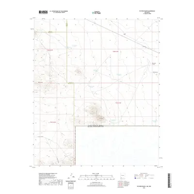 2020 Victorio Ranch2020 Print · USGSThis southwestern New Mexico borderland in 2020 shows a vast ranching landscape defined by the Sierra Rica and Apache Hills. Researchers can trace the layout of the Victorio Ranch, its nearby Victorio Cem, and a network of desert water tanks.
 - 2020 Map of Playas Lake North, 2020 Print
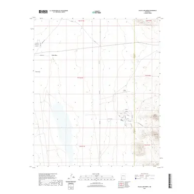 2020 Playas Lake North2020 Print · USGSThe Playas Valley in southwestern New Mexico is documented here in its contemporary state, showing the organized settlement of Playas beside the vast Playas Lake. Researchers can trace local landmarks like the Playas Air Strip and the heights of the Little Hatchet Mountains.
 - 2020 Map of Doyle Peak, 2020 Print
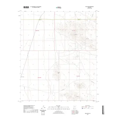 2020 Doyle Peak2020 Print · USGSThe high-desert ranchlands on the Grant and Hidalgo county line are documented here in recent decades. Modern researchers can trace the routes of Hatchet Rd and Shipping Pens Rd through the Hachita Valley and up toward Apache Peak.
 - 2020 Map of Playas Lake South, 2020 Print
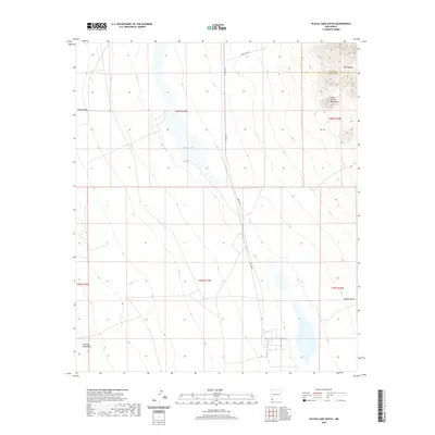 2020 Playas Lake South2020 Print · USGSThe Playas Valley in the early twenty-first century remains a landscape of ephemeral waters and industrial traces. Researchers can map the basin's geography from Whitmire Spring to the heights of the Little Hatchet Mountains and the corridor along Smelter Rd.
 - 2020 Map of Harden Cienega, 2020 Print
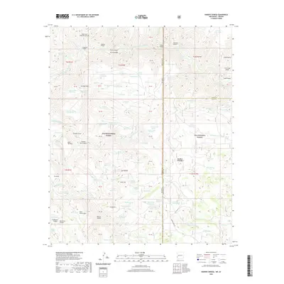 2020 Harden Cienega2020 Print · USGSThe New Mexico and Arizona borderlands are captured here in the contemporary era, showing the intersection of two major national forests. Researchers can trace the high-country ranching infrastructure through features like Harden Cienega Rd, Baldy Mtn, and the San Francisco River.
 - 2020 Map of Hachita, 2020 Print
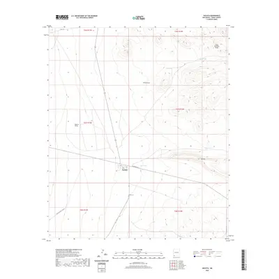 2020 Hachita2020 Print · USGSHachita remains a remote desert outpost in the early twenty-first century, positioned between the Hachita Valley and the Cedar Mountain Range. Researchers can trace local lineage at the Hachita Cem or follow the grid of Railroad Ave through the town center.
 - 2020 Map of Copperas Peak, 2020 Print
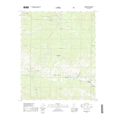 2020 Copperas Peak2020 Print · USGSThe high mesas and forest drainages of Grant County are captured here in the contemporary era. Researchers can trace the layout of Trout Valley and Lake Roberts Heights or locate landmarks like Copperas Peak and Meerschaum Spring.
 - 2020 Map of Playas Peak, 2020 Print
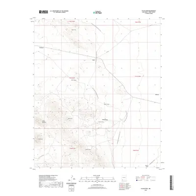 2020 Playas Peak2020 Print · USGSThe high-desert terrain of Grant County is captured here in the modern era, showing the intersection of local history and transcontinental trails. Researchers can trace the pathways around Old Hachita and Minero or follow the Continental Divide National Scenic Trail through the Little Hatchett Mountains.
 - 2020 Map of Canteen Canyon, 2020 Print
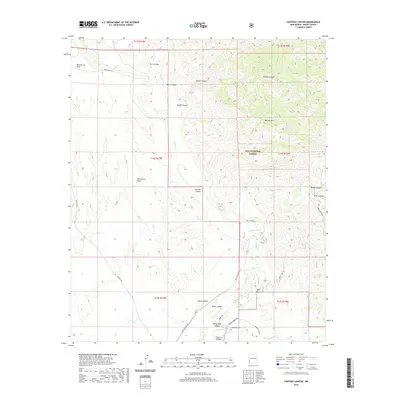 2020 Canteen Canyon2020 Print · USGSGrant County is shown in recent detail within the southwestern canyonlands of the Gila National Forest. Genealogists and historians can locate the Maldonado Cem and trace the winding course of the Gila River past Wild Horse Mesa.
 - 2020 Map of Granny Mountain, 2020 Print
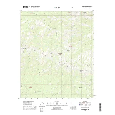 2020 Granny Mountain2020 Print · USGSGrant County’s high wilderness is documented in this recent survey, showing the complex ridges and river canyons of the Gila National Forest. Researchers can trace the winding Gila River and locate remote landmarks like Goose Lake, Granny Mtn, and Wild Horse Mesa.
 - 2020 Map of Gila Hot Springs, 2020 Print
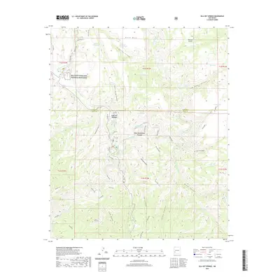 2020 Gila Hot Springs2020 Print · USGSUpper Gila River country in the twenty-first century remains a landscape of deep canyons and thermal springs. Researchers can locate the historic Lyons Hunting Lodge Hot Spring, the remote Alum Camp, and the renowned Gila Cliff Dwellings National Monument.
 - 2020 Map of Wilson Mountain, 2020 Print
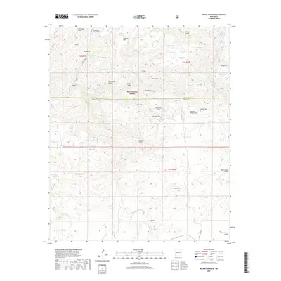 2020 Wilson Mountain2020 Print · USGSThe high wilderness of the Gila National Forest is documented here in the early twenty-first century, showing the remote peaks and river canyons of Grant and Catron counties. Researchers can locate geothermal sites like San Francisco Hot Springs and trace ranching routes past Goat Corral and Wilson Mtn.
 - 2020 Map of Diablo Range, 2020 Print
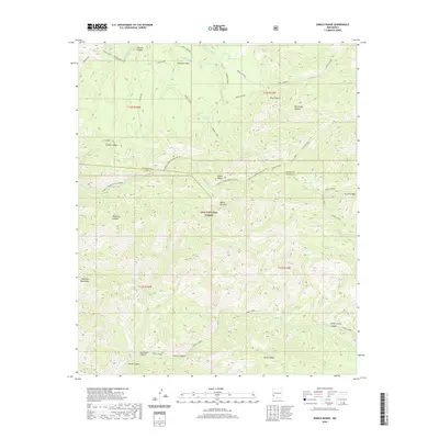 2020 Diablo Range2020 Print · USGSGrant County’s high country is preserved in this modern survey of the Gila National Forest and the Mogollon Mountains. Genealogists and historians can trace the rugged topography around Horse Spring, White Pinnacle, and Hells Canyon.
 - 2020 Map of Little Turkey Park, 2020 Print
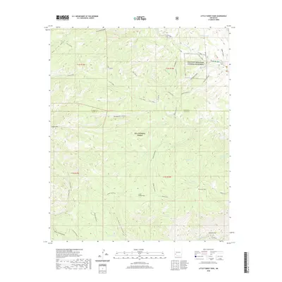 2020 Little Turkey Park2020 Print · USGSThe high wilderness of Grant County is documented in the modern era, centering on the Gila Cliff Dwellings National Monument. Researchers can trace the drainage of the W Fork Gila River and locate historic livestock tanks like Lost Mule Tank and Sycamore Tank.
 - 2020 Map of Mule Creek, 2020 Print
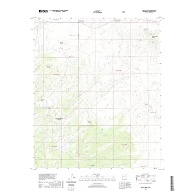 2020 Mule Creek2020 Print · USGSMule Creek and the eastern fringes of the Gila National Forest are captured here as they appeared in 2020. Local history researchers can trace the ranching landscape through water sources like Mule Spring, and explore named terrain such as Sunflower Mesa and Bear Valley.
 - 2020 Map of North Star Mesa, 2020 Print
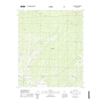 2020 North Star Mesa2020 Print · USGSGrant County’s high forest terrain is captured in this recent survey, centered on the North Star Mesa and the winding Continental Divide National Scenic Trail. Researchers can locate seasonal water sources and remote landmarks like Gattons Park, Loco Mtn, and Railroad Canyon.
 - 2020 Map of Bear Mountain, 2020 Print
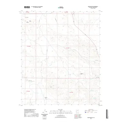 2020 Bear Mountain2020 Print · USGSGrant County high country is shown here in the contemporary era, detailing the ranching routes and water systems of the New Mexico desert. Genealogists and historians can trace family-named landmarks like Bear Mtn and remote locations such as Bear Valley and Mallet Pond.
 - 2020 Map of Buckhorn, 2020 Print
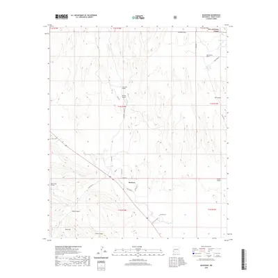 2020 Buckhorn2020 Print · USGSBuckhorn and the rugged ranchlands of Grant County are captured here during the early twenty-first century. Researchers can trace land use and water sources through features like George Clark Tank, Hells Hole, and the southern reaches of the Gila National Forest.
 - 2020 Map of Middle Mesa, 2020 Print
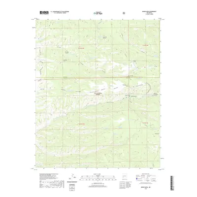 2020 Middle Mesa2020 Print · USGSGrant County ranchlands and forest reserves are captured here in the twenty-first century. Researchers can trace land use patterns through numerous named water tanks and high-altitude landmarks like Me-Own Airport, Meason Flat, and Tom Moore Canyon.
 - 2020 Map of Hat Top Mountain, 2020 Print
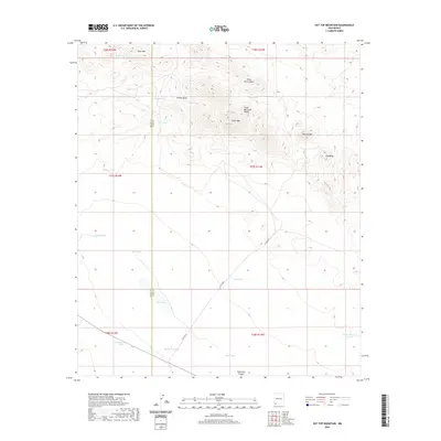 2020 Hat Top Mountain2020 Print · USGSThe high desert border of Grant and Luna Counties comes into focus in this recent survey of the Chihuahuan landscape. Researchers can trace the legacy of cattle ranching and early infrastructure through named landmarks like Railroad Tank, CCC Tank, and Hat Top Mtn.
 - 2020 Map of Canyon Hill, 2020 Print
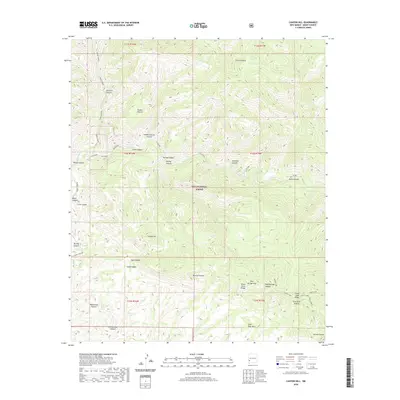 2020 Canyon Hill2020 Print · USGSGrant County’s high desert and canyon lands are preserved here during the early twenty-first century. Researchers can trace historic water sources and access routes through Gila National Forest, including Dog Spring, Slick Rock Mesa, and Turkey Creek Rd.
 - 2020 Map of Rice Ranch, 2020 Print
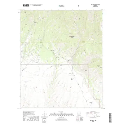 2020 Rice Ranch2020 Print · USGSIn this high-country survey from 2020, the complex canyons of the Gila National Forest are mapped in detail. Genealogists and historians can trace the isolated Rice Ranch and find named natural landmarks like Seventyfour Mtn, Rain Creek Mesa, and White Rocks Spring.
 - 2020 Map of Moon Ranch, 2020 Print
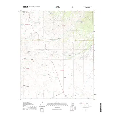 2020 Moon Ranch2020 Print · USGSGrant County ranching and forest lands are mapped here in the early twenty-first century as the Catron County line cuts through high country. Local researchers can trace family-named routes like Charley Judd Rd or locate remote water features such as Big Dry Cr Box Spring and Moon Ranch.
 - 2020 Map of Shelley Peak, 2020 Print
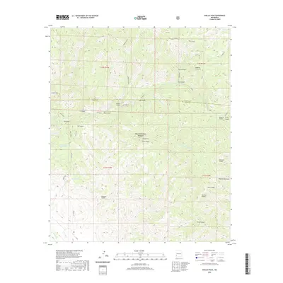 2020 Shelley Peak2020 Print · USGSGrant and Catron counties meet in this high-altitude reach of the Gila National Forest during the early twenty-first century. Researchers can trace remote mountain geography through landmarks like Shelley Peak, Skeleton Canyon, and Seventyfour Mountain Tank.
 - 2020 Map of Whitehorse Mountain, 2020 Print
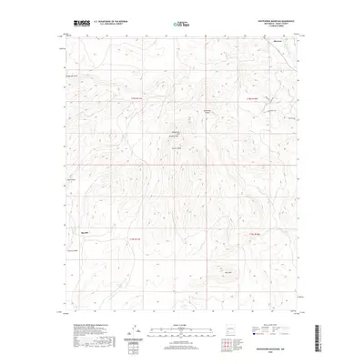 2020 Whitehorse Mountain2020 Print · USGSGrant County's high desert terrain is captured here in the contemporary era, centered on the heights of the Mimbres Mountains. Genealogists and hikers can trace the paths around Sherman or locate landmarks like Big Mill and the remote Clark Tanks.
Showing maps 1-25 of 179
Top cities of Grant County
Frequently asked questions
- What are the different types of historical maps available for Grant County?
- What is the oldest map of Grant County?
- Where can I purchase historical maps of Grant County for my home or office?
- Where can I download high-res historical maps of Grant County?
- Are there historical topographic maps available for Grant County?
- Is there historical aerial imagery available for Grant County?
- Where are historical maps of Grant County sourced from?