Old Maps of Hobbs, New Mexico for Hiking & Exploration
Hike through history with 20 historic maps of Hobbs. Explore old trails, ghost towns, and forgotten backroads — perfect for outdoor adventurers and local explorers.
- Rediscover forgotten places: Map out old mining camps, roads, and footpaths that no longer exist on modern maps.
- Layer with modern tools: Combine with LiDAR or satellite views to plan hikes through historical terrain.
- Made for exploration: Popular among hikers, overlanders, and local history lovers.
Use these maps to find adventure and explore the hidden past of Hobbs.
Hobbs, NM maps
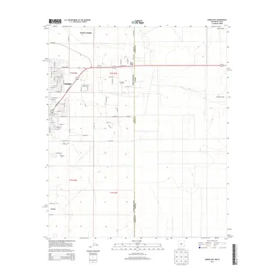
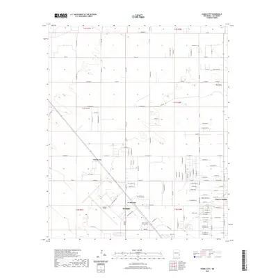
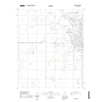
(20)- 1954 Map of Hobbs, 1963 Print
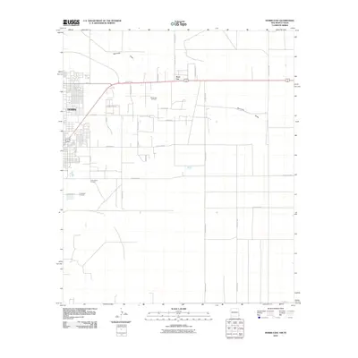
 1954 Hobbs1963 Print · USGSThe High Plains and Permian Basin transition is captured here at the height of the mid-century energy boom. Genealogists and industrial historians can trace the foundations of Humble City, locate the Potash Mine and Plant, and follow the Texas-New Mexico RR.2 unique versions available
 - 1958 Map of Hobbs
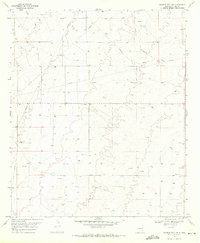
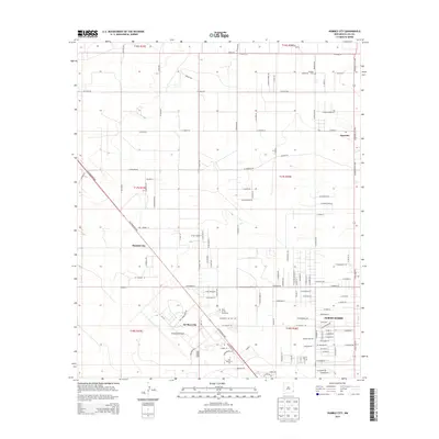
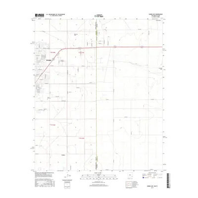
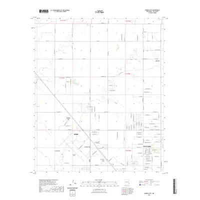
 1958 Hobbs1958 Print · USGSThe High Plains of the Texas-New Mexico border are shown here during the height of the mid-century oil boom. Genealogists and historians can trace the development of Hobbs, Lovington, and Jal, alongside ranching landmarks like James Ranch and the early Texas-New Mexico Railway.
 - 1969 Map of Humble City, 1971 Print
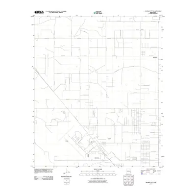
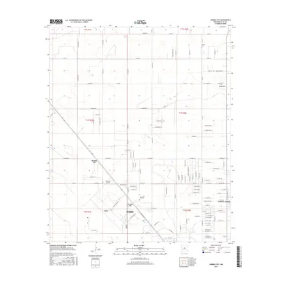
 1969 Humble City1971 Print · USGSLea County at the end of the sixties shows a landscape transformed by the energy industry and modern infrastructure. Genealogists and historians can trace the network of pipelines, several Gravel Pits, and landmarks like Wardswell Draw.4 unique versions available
 - 1969 Map of Hobbs East, 1972 Print
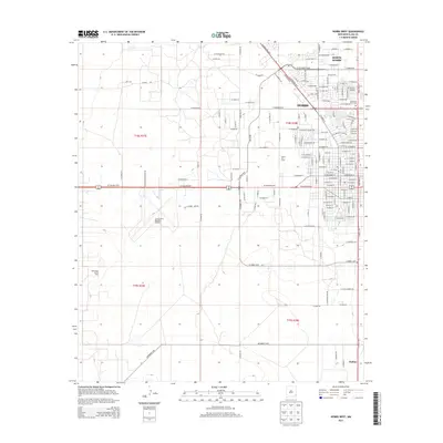
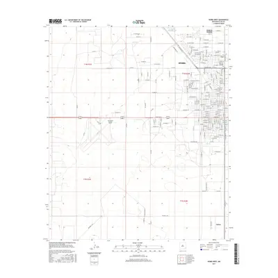
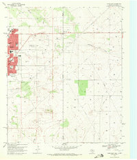 1969 Hobbs East1972 Print · USGSThe Texas-New Mexico border near Hobbs thrived during the late sixties as the energy sector shaped the landscape. Genealogists and local historians can trace civic growth through Highland Jr High Sch, find family sites at Prairie Haven Cem, and locate the historic East Hobbs Oil Field.3 unique versions available
 - 1969 Map of Hobbs West, 1972 Print
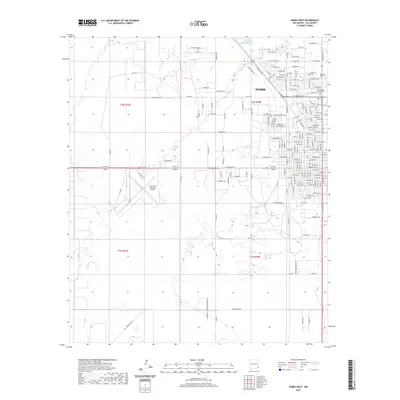
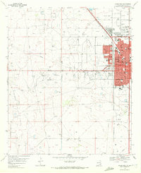 1969 Hobbs West1972 Print · USGSThe western outskirts of Hobbs and the small community of Nadine are documented here in the late sixties as the local oil industry flourished. Genealogists can trace family locations near Memory Gardens (Cem) or locate schools such as Sanger Sch and Heizer Jr High Sch.2 unique versions available
 - 2010 Map of Hobbs West, 2010 Print
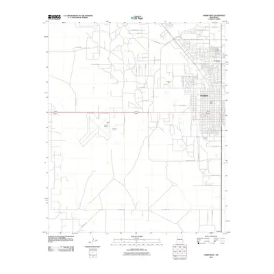 2010 Hobbs West2010 Print · USGSCovers Hobbs, including Lea County, United States, and other nearby areas
 - 2010 Map of Hobbs East, 2010 Print
 2010 Hobbs East2010 Print · USGSCovers Hobbs, including State Line, Lea County, and other nearby areas
 - 2010 Map of Humble City, 2010 Print
 2010 Humble City2010 Print · USGSCovers Hobbs, including Air Base City, North Hobbs, and other nearby areas
 - 2013 Map of Humble City, 2013 Print
 2013 Humble City2013 Print · USGSCovers Hobbs, including Air Base City, North Hobbs, and other nearby areas
 - 2013 Map of Hobbs West, 2013 Print
 2013 Hobbs West2013 Print · USGSCovers Hobbs, including Lea County, United States, and other nearby areas
 - 2013 Map of Hobbs East, 2013 Print
 2013 Hobbs East2013 Print · USGSCovers Hobbs, including State Line, Lea County, and other nearby areas
 - 2017 Map of Hobbs East, 2017 Print
 2017 Hobbs East2017 Print · USGSCovers Hobbs, including State Line, Lea County, and other nearby areas
 - 2017 Map of Hobbs West, 2017 Print
 2017 Hobbs West2017 Print · USGSCovers Hobbs, including Lea County, United States, and other nearby areas
 - 2017 Map of Humble City, 2017 Print
 2017 Humble City2017 Print · USGSCovers Hobbs, including Air Base City, North Hobbs, and other nearby areas
 - 2020 Map of Humble City, 2020 Print
 2020 Humble City2020 Print · USGSCovers Hobbs, including Air Base City, North Hobbs, and other nearby areas
 - 2020 Map of Hobbs West, 2020 Print
 2020 Hobbs West2020 Print · USGSCovers Hobbs, including Lea County, United States, and other nearby areas
 - 2020 Map of Hobbs East, 2020 Print
 2020 Hobbs East2020 Print · USGSCovers Hobbs, including State Line, Lea County, and other nearby areas
 - 2023 Map of Hobbs East, 2023 Print
 2023 Hobbs East2023 Print · USGSThe eastern edges of Hobbs and the settlement of Nadine are captured in the modern era as they stretch toward the state line. Researchers can trace family sites at Everglades Cem or follow the path of Seminole Draw across the Llano Estacado.
 - 2023 Map of Hobbs West, 2023 Print
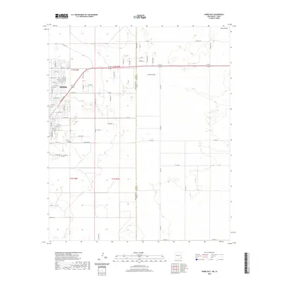
 2023 Hobbs West2023 Print · USGSThe western edges of the High Plains and the Permian Basin are captured in this contemporary view of Lea County. Genealogists and local historians can trace the development of Hobbs and Nadine while locating the Boone Cem - Memorial Park Cem and Lea County Regional Airport.
 - 2023 Map of Humble City, 2023 Print
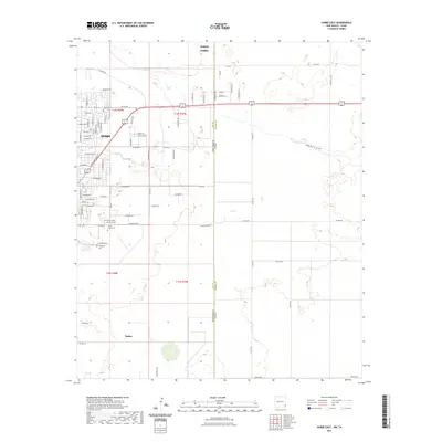
 2023 Humble City2023 Print · USGSLea County in the modern era shows the steady growth of Hobbs and its neighboring oil-field communities. Genealogists and local historians can trace the area's development from the Knowles Cem down to University of the Southwest and Humble City.
End of results
Showing maps 1-20 of 20
Top cities near Hobbs
Top neighborhoods of Hobbs
Frequently asked questions
- What are the different types of historical maps available for Hobbs?
- What is the oldest map of Hobbs?
- Where can I purchase historical maps of Hobbs for my home or office?
- Where can I download high-res historical maps of Hobbs?
- Are there historical topographic maps available for Hobbs?
- Is there historical aerial imagery available for Hobbs?
- Where are historical maps of Hobbs sourced from?