Old Maps of Carrizozo, New Mexico for Genealogy
Trace your family roots with 19 historic maps of Carrizozo. These high-res maps reveal old neighborhoods, homesites, landmarks, and streets — helping you uncover where your ancestors lived and how the area evolved over time.
- Explore historic neighborhoods: Identify where your relatives may have lived in the 1800s or 1900s.
- Compare maps over time: Trace the changes in streets, buildings, and landmarks for multi-generational research.
- Perfect for genealogy & ancestry research: Used by family historians and researchers to map out lineage and migration.
These maps are an incredible resource for exploring your personal connection to Carrizozo's past.
Carrizozo, NM maps
(19)- 1938 Map of Carrizozo
 1938 Carrizozo1938 Print · USGSLincoln County in the late 1930s centers on the rail hub of Carrizozo as it transitions from a mining-era landscape to a modern ranching community. Genealogists and local historians can locate early family holdings like Spencer Ranch and remote sites such as Degners Mine.
 - 1943 Map of Carrizozo
 1943 Carrizozo1943 Print · USGSCarrizozo and the high desert of Lincoln County are captured here just before the mid-century, centered on a busy junction of the Southern Pacific railroad. Genealogists and historians can trace legacy holdings like Spencer Ranch and Roberts Ranch or the early layout of the Carrizozo Country Club.
 - 1950 Map of Carrizozo, 1954 Print
 1950 Carrizozo1954 Print · USGSCarrizozo and the surrounding high desert of Lincoln County are captured here at mid-century, centered on the Southern Pacific rail junction. Researchers can trace local history through Evergreen Cemetery, the Junction Mine, and old sidings like Robsart.4 unique versions available
 - 1955 Map of Roswell, 1974 Print
 1955 Roswell1974 Print · USGSSoutheastern New Mexico is shown in transition during the mid-fifties, from the Pecos Valley ranching hubs to the high timber of the Sacramento Mountains. Researchers can trace the Atchison Topeka and Santa Fe RR through Roswell and Hagerman or locate the old barracks at Ft Stanton.3 unique versions available
 - 1958 Map of Roswell
 1958 Roswell1958 Print · USGSThe High Plains and mountain peaks of New Mexico are captured here during the mid-fifties, showing the region before the closure of Walker Air Force Base. Researchers can trace the ranching and rail landscape from Lincoln to the Pecos River valley through Hagerman and Lake Arthur.
 - 1962 Map of Roswell
 1962 Roswell1962 Print · USGSSoutheastern New Mexico in the early sixties shows a landscape defined by high mountain peaks and a growing military presence at Roswell. Genealogists and historians can trace the roads connecting Fort Stanton, Capitan, and the Mescalero Apache Indian Reservation.
 - 1981 Map of Carrizozo
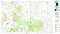 1981 Carrizozo1981 Print · USGSHigh desert plains meet the timbered slopes of the Capitan and Jicarilla Mountains in the early 1980s. Genealogists and historians can trace rail-side towns like Carrizozo and old mining sites such as the American Mine and the settlement of White Oaks.2 unique versions available
 - 1982 Map of Carrizozo West
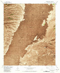 1982 Carrizozo West1982 Print · USGSCarrizozo and the edges of the great lava flows are captured in the early eighties as the town developed along the Southern Pacific tracks. Genealogists and researchers can locate the Evergreen Cem, Scott Spring, and the old Drive-in Theater.
 - 1982 Map of Carrizozo East
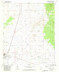 1982 Carrizozo East1982 Print · USGSThe town of Carrizozo and its vital railroad corridor are shown in the early 1980s, flanked by high desert peaks and National Forest land. Researchers can trace local water and ranch history through sites like Manchester Spring, Fetters Spring, and Robsart.
 - 2010 Map of Carrizozo West, 2010 Print
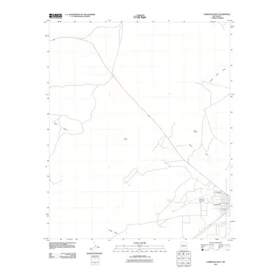 2010 Carrizozo West2010 Print · USGSCarrizozo and the edges of the Tularosa Basin are documented in this early 21st-century record of Lincoln County. Local historians and genealogists can pinpoint the Carrizozo Post Office, Evergreen Cemetery, and industrial sites like the L M and M Mill.
 - 2011 Map of Carrizozo East, 2011 Print
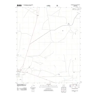 2011 Carrizozo East2011 Print · USGSThe industrial outskirts of Carrizozo and the mineral-rich slopes of Baxter Mountain are captured here in the early twenty-first century. Genealogists and historians can trace the town's industrial footprint through the Southwest Mineral Corp Mill and find isolated mining sites like Annie Cade Mine and Gregory Mine.
 - 2013 Map of Carrizozo West, 2013 Print
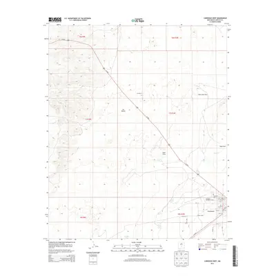 2013 Carrizozo West2013 Print · USGSCarrizozo and the surrounding Tularosa Basin are captured here in the early twenty-first century as a critical crossroads of the New Mexico desert. Genealogists and local historians can trace the town grid and local sites like Evergreen Cem, Carrizozo Municipal Airport, and several desert water sources including Bloom Spring.
 - 2013 Map of Carrizozo East, 2013 Print
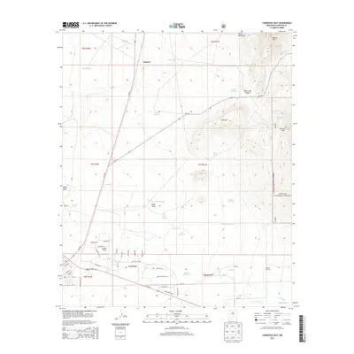 2013 Carrizozo East2013 Print · USGSCarrizozo and its surrounding high-desert landscape are captured in the early twenty-first century as the town transitions into the mountain foothills. Local researchers can trace old ranching infrastructure and water sources like Manchester Spring, Mayer Windmill, and the boundary of the Lincoln National Forest.
 - 2017 Map of Carrizozo West, 2017 Print
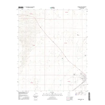 2017 Carrizozo West2017 Print · USGSThe high desert landscape of Lincoln County comes into focus in this late twenty-first-century survey of the Carrizozo area. Genealogists and local historians can trace the town grid out to Evergreen Cem or follow the paths of White Oaks Draw and Nogal Cr.
 - 2017 Map of Carrizozo East, 2017 Print
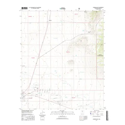 2017 Carrizozo East2017 Print · USGSCarrizozo and the high desert of Lincoln County are captured here in the late twenty-teens as the town borders the national forest. Trace local water history through features like Carrizozo Spring, Manchester Spring, and family-named landmarks like Mayer Windmill.
 - 2020 Map of Carrizozo West, 2020 Print
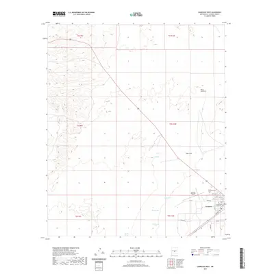 2020 Carrizozo West2020 Print · USGSThe town of Carrizozo and its high desert surroundings are captured here in the early twenty-first century. Genealogists and local researchers can locate the Evergreen Cem, the Lincoln County Courthouse, and essential water sources like Bloom Spring.
 - 2020 Map of Carrizozo East, 2020 Print
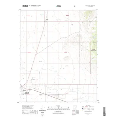 2020 Carrizozo East2020 Print · USGSCarrizozo and the high desert of Lincoln County are captured here in the contemporary era, showing where the valley floor meets the foothills. Researchers can trace the path of Lemon Draw, find old water sources like Fetters Spring, and explore the margins of Lincoln National Forest.
 - 2023 Map of Carrizozo West, 2023 Print
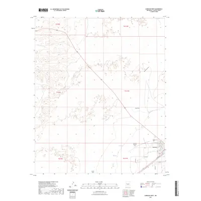 2023 Carrizozo West2023 Print · USGSLincoln County comes into focus in this contemporary survey, centering on the high-desert hub of Carrizozo. Researchers can trace town development along Central Ave or locate local landmarks like the Evergreen Cem and Scott Spring.
 - 2023 Map of Carrizozo East, 2023 Print
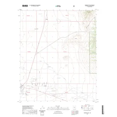 2023 Carrizozo East2023 Print · USGSThe high-desert terrain of Lincoln County comes into focus in this recent survey of the area around the settlement of Carrizozo. Genealogists and local historians can trace the town's expansion near Our Lady of Guadalupe Cem or explore the rugged canyons of the Lincoln National Forest.
End of results
Showing maps 1-19 of 19
Top cities near Carrizozo
Frequently asked questions
- What are the different types of historical maps available for Carrizozo?
- What is the oldest map of Carrizozo?
- Where can I purchase historical maps of Carrizozo for my home or office?
- Where can I download high-res historical maps of Carrizozo?
- Are there historical topographic maps available for Carrizozo?
- Is there historical aerial imagery available for Carrizozo?
- Where are historical maps of Carrizozo sourced from?