1980s Maps of San Miguel County, New Mexico
Explore 10 historic maps of San Miguel County from the 1980s. These maps offer a rare glimpse into what life looked like during the 1980s — showing old roads, neighborhoods, homes, and landmarks that have changed or disappeared over time.
Whether you're researching your family's past, planning a metal detecting trip, or studying how San Miguel County's landscape evolved across the 1980s, these high-resolution maps are a powerful tool for exploring the history of this region.
- Focus on a specific era: All maps on this page are from the 1980s, giving you a focused view of this time period.
- See what’s changed: Compare century-old streets, trails, and buildings to today's modern landscape using overlays and satellite layers.
- Research with precision: Use these maps for genealogy, historical research, land use analysis, or educational projects.
- View, download, or print: Maps are fully viewable online in high resolution, and can be downloaded or printed for your own records.
Start exploring San Miguel County's history through authentic maps from the 1980s. This is your window into the past.
San Miguel County, NM maps
(10)- 1981 Map of Roy, 1982 Print
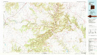 1981 Roy1982 Print · USGSNortheastern New Mexico's ranching and volcanic landscapes are documented here in the early eighties. Researchers can trace the Santa Fe Trail, locate the historic Fort Union Nat Mon, and explore the rail corridor through Roy and Solano.
 - 1983 Map of Santa Fe, 1984 Print
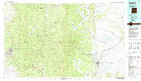 1983 Santa Fe1984 Print · USGSThe high Sangre de Cristo Mountains and the growing state capital define this early 1980s landscape during a period of expanding infrastructure. Researchers can trace historic land patterns and transit routes from Nambe Pueblo and Glorieta Pass to the Atchison Topeka and Santa Fe RR line.
 - 1983 Map of Villanueva, 1984 Print
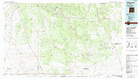 1983 Villanueva1984 Print · USGSThe Pecos River valley and its high mesa surroundings are captured here in the early eighties. Researchers can trace historic river settlements like Villanueva and Sena, the route of the Atchison Topeka and Santa Fe railroad, and the high-desert terrain of Glorieta Mesa.
 - 1989 Map of Mesa Chupinas
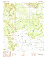 1989 Mesa Chupinas1989 Print · USGSSan Miguel County ranchlands are captured here in the late eighties, showing a landscape defined by mesa topography and desert water management. Researchers can locate remote water sources like Alamito Springs and trace the extensive network of Check Dams near Anton Chico.
 - 1989 Map of San Jose
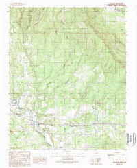 1989 San Jose1989 Print · USGSThe Pecos River valley in the late 1980s reveals a traditional New Mexico landscape where rail and water dictate settlement. Genealogists and historians can trace family-named sites like Lucero and El Ancon, or locate the San Bacino Ch and local Cem plots.
 - 1989 Map of Villanueva
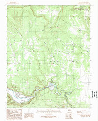 1989 Villanueva1989 Print · USGSUpper Pecos River valley life is preserved here in the late eighties, documenting the ancient settlements of Villanueva and El Cerrito. Genealogists and local historians can trace legacy land grants like San Miguel del Bado Tract No 1 and geographic markers such as Mesa Sombodoro.
 - 1989 Map of Los Montoyas
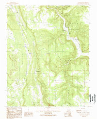 1989 Los Montoyas1989 Print · USGSThe high mesa country of San Miguel County is documented here during the late eighties as traditional ranching landscapes integrated with modern wildlife conservation. Researchers can trace historic sites like Los Fuertes and follow the water from the San Augustin Dam across Apache Mesa.
 - 1989 Map of La Liendre
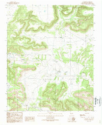 1989 La Liendre1989 Print · USGSSan Miguel County ranching country is captured here in the late eighties as the region maintained its traditional land-use patterns. Genealogists can locate family names and burial sites like the Cem near Aguilar or the historic settlement of La Liendre.
 - 1989 Map of Sena
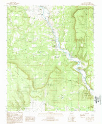 1989 Sena1989 Print · USGSSan Miguel County communities along the Pecos River are captured in the late 1980s as traditional land grant boundaries still shape the local geography. Researchers can trace family-named settlements like Sena, Lovato, and Garanbuio or locate landmarks like the Valley School.
 - 1989 Map of Tecolote
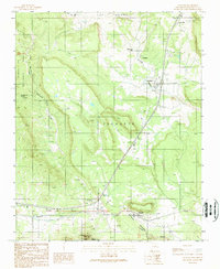 1989 Tecolote1989 Print · USGSSan Miguel County settlement and ranching come into focus in the 1980s as rail and road corridors trace the foothills. Researchers can locate family names and vanished sites like Santa Ana (Site), Blanchard, and the prominent Starvation Peak.
End of results
Showing maps 1-10 of 10
Top cities of San Miguel County
Frequently asked questions
- What are the different types of historical maps available for San Miguel County?
- What is the oldest map of San Miguel County?
- Where can I purchase historical maps of San Miguel County for my home or office?
- Where can I download high-res historical maps of San Miguel County?
- Are there historical topographic maps available for San Miguel County?
- Is there historical aerial imagery available for San Miguel County?
- Where are historical maps of San Miguel County sourced from?