2010s Maps of San Miguel County, New Mexico
Explore 306 historic maps of San Miguel County from the 2010s. These maps offer a rare glimpse into what life looked like during the 2010s — showing old roads, neighborhoods, homes, and landmarks that have changed or disappeared over time.
Whether you're researching your family's past, planning a metal detecting trip, or studying how San Miguel County's landscape evolved across the 2010s, these high-resolution maps are a powerful tool for exploring the history of this region.
- Focus on a specific era: All maps on this page are from the 2010s, giving you a focused view of this time period.
- See what’s changed: Compare century-old streets, trails, and buildings to today's modern landscape using overlays and satellite layers.
- Research with precision: Use these maps for genealogy, historical research, land use analysis, or educational projects.
- View, download, or print: Maps are fully viewable online in high resolution, and can be downloaded or printed for your own records.
Start exploring San Miguel County's history through authentic maps from the 2010s. This is your window into the past.
San Miguel County, NM maps
(306)- 2010 Map of Onava, 2010 Print
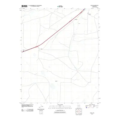 2010 Onava2010 Print · USGSSan Miguel County ranch lands are captured here at the start of the new millennium, showing a landscape defined by cattle operations and wide-open plains. Genealogists and local historians can locate named properties like Kroenigs and the Holt Brothers Circle Ranch.
 - 2010 Map of Loma Parda, 2010 Print
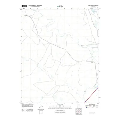 2010 Loma Parda2010 Print · USGSNortheastern New Mexico's historic transit corridors are on full display here, showing the paths of the Santa Fe Trl and Old Santa Fe Trl. Genealogists and historians can locate the Watrous Cemetery, Kroenig Cemetery, and the Fort Union Corral along the river valleys.
 - 2010 Map of Los Montoyas, 2010 Print
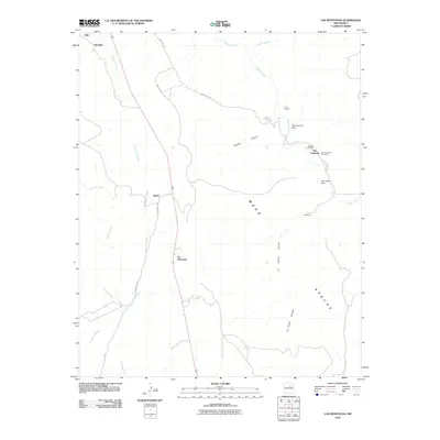 2010 Los Montoyas2010 Print · USGSSan Miguel County at the start of the twenty-first century reveals a landscape of traditional ranching outposts and river-fed settlements. Genealogists and researchers can trace the vicinity of San Augustin, the Lourdes Post Office, and the San Augustin Cemetery.
 - 2010 Map of Mesa El Toro, 2010 Print
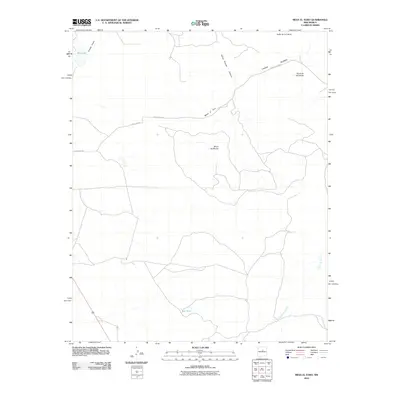 2010 Mesa El Toro2010 Print · USGSHigh-desert mesas and deep canyons define this Santa Fe County landscape during the early twenty-first century. Genealogists and land researchers can trace regional access via County Rd-B31A and locate landmarks like Mesa el Toro and Big Lake.
 - 2010 Map of Horse Pasture Tank, 2010 Print
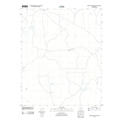 2010 Horse Pasture Tank2010 Print · USGSSan Miguel County ranching and mineral exploration are documented here during the early twenty-first century. Researchers can trace remote outposts like Alamito Camp and Payne Ranch alongside water features like Horse Pasture Tank.
 - 2010 Map of Solano, 2010 Print
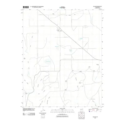 2010 Solano2010 Print · USGSLife on the high plains of Harding County centers on the crossroads at Solano during the early twenty-first century. Researchers can trace remote ranching outposts and family-named landmarks like Trujillo Camp, Leatherman Windmill, and the Solano Cemetery.
 - 2010 Map of Laguna La Monia, 2010 Print
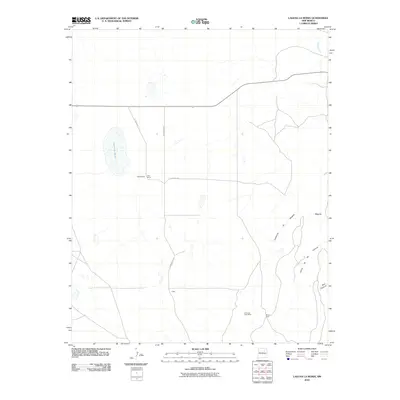 2010 Laguna La Monia2010 Print · USGSSan Miguel County ranch lands are documented here during the first decade of the millennium. Genealogists and land historians can trace rural family-named locations such as Feliz Ranch and Schlothauer alongside the Cimarron Post Office.
 - 2010 Map of Flagstone Mountain, 2010 Print
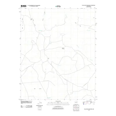 2010 Flagstone Mountain2010 Print · USGSSan Miguel County ranch lands and high mesas are captured here in the early twenty-first century as they surround the Conchas River basin. Trace the historic footprint of the Conchas Ranch and the rugged contours of Flagstone Mountain and Mesa Montosa.
 - 2010 Map of Bookout Ranch, 2010 Print
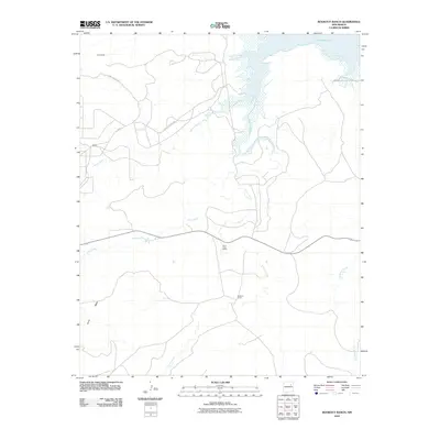 2010 Bookout Ranch2010 Print · USGSSan Miguel County ranch lands are detailed here during the early twenty-first century as modern roads trace through the high desert. Researchers can locate remote outposts like Allemando, the Saint Anne Claims, and the eponymous Bookout Ranch.
 - 2010 Map of Monument Point, 2010 Print
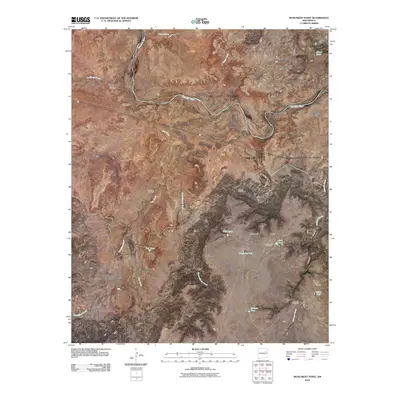 2010 Monument Point2010 Print · USGSSan Miguel County is mapped here in the early twenty-first century as a land of sweeping mesas and vital river corridors. Researchers can locate the San Lorenzo Cemetery and trace rugged landmarks like Monument Point, Chical Mesa, and the passage of the Canadian River.
 - 2010 Map of Canon Encierro, 2010 Print
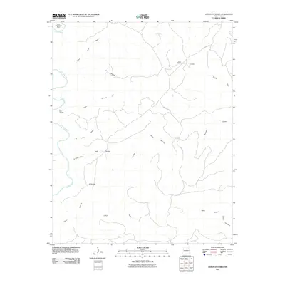 2010 Canon Encierro2010 Print · USGSSan Miguel County ranching country is documented here in the early twenty-first century, showing the canyons and mesas east of the Canadian River. Family history researchers can locate remote burial sites including Armenta Plaza Cemetery and Calvert Cemetery near the W-3 Cattle Company.
 - 2010 Map of Ortega Tank, 2010 Print
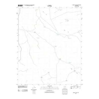 2010 Ortega Tank2010 Print · USGSSan Miguel County ranchlands are documented here in the early twenty-first century, showing a landscape defined by water rights and family heritage. Researchers can trace land use through named landmarks like Ortega Windmills, Aragon Dam, and Tarkington Windmill.
 - 2010 Map of Bell Ranch, 2010 Print
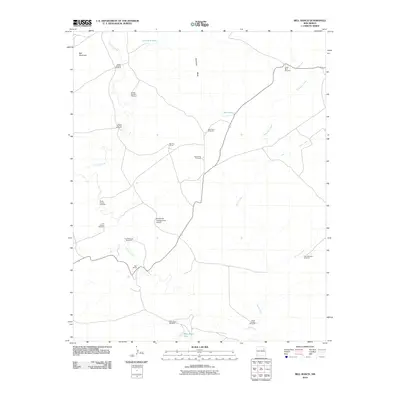 2010 Bell Ranch2010 Print · USGSSan Miguel County ranch lands are documented here in the early twenty-first century, showing the operational heart of a vast New Mexico cattle enterprise. Researchers can trace the water and aviation infrastructure of Bell Ranch, including Big Flat Corral and the Bell Ranch Headquarters Airport.
 - 2010 Map of Bar Y Ranch, 2010 Print
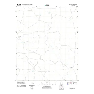 2010 Bar Y Ranch2010 Print · USGSSan Miguel County ranch lands are documented here during the early twenty-first century, showing a landscape shaped by water and livestock. Researchers can trace local landmarks like Bar Y Ranch, Sabino Springs, and the prominent Bar Y Dome.
 - 2010 Map of Four V Ranch, 2010 Print
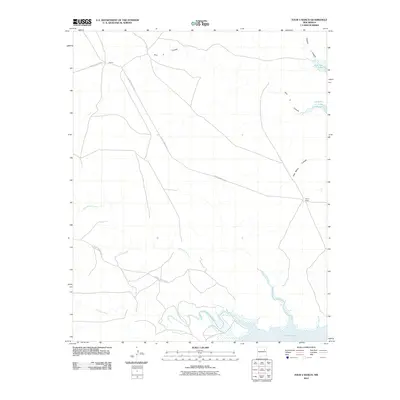 2010 Four V Ranch2010 Print · USGSSan Miguel County ranch lands are shown in detail during the early 2000s, where the high desert meets the waters of the Conchas. Genealogists and historians can trace local routes like County Road C-57-A between Garcia and the Four V Ranch.
 - 2010 Map of Mesa Cherisco, 2010 Print
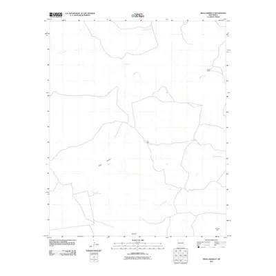 2010 Mesa Cherisco2010 Print · USGSSan Miguel County ranch lands are detailed in this 2010 survey of the high-desert landscape. Local history researchers can trace the ranching legacy at Boylan Ranch and Pino Ranch, or locate features like Pino Spring and Mesa Cherisco.
 - 2010 Map of Goetsch Lake, 2010 Print
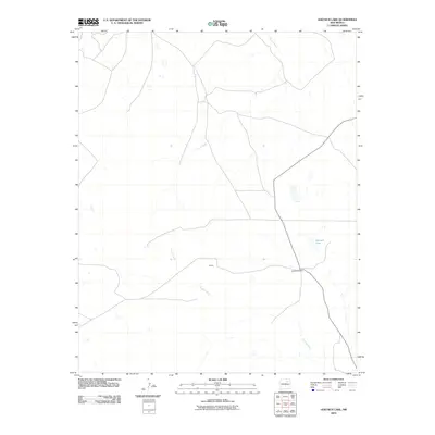 2010 Goetsch Lake2010 Print · USGSSan Miguel County remains a landscape of traditional ranching and sparse high-desert settlements at the turn of the millennium. Genealogists and local historians can trace family land at Goetsch Ranch and locate the community of Goods near the banks of the Conchas River.
 - 2010 Map of Maes, 2010 Print
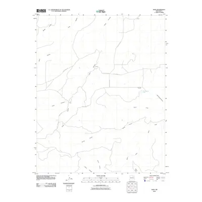 2010 Maes2010 Print · USGSMaes and the surrounding San Miguel County high country are captured here in the early twenty-first century. Researchers can trace family sites like the Juan Torres Cemetery and remote landmarks including Juan Torres Lake and Maes.
 - 2010 Map of Neafus Ranch, 2010 Print
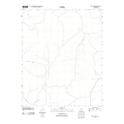 2010 Neafus Ranch2010 Print · USGSSan Miguel County ranch lands are documented here in the early 2000s, showing the intersection of high-desert geography and rural infrastructure. Genealogists and local historians can trace family holdings like Neafus Ranch and Garcia Ranch along the banks of Cuervo Creek.
 - 2010 Map of Sabinoso, 2010 Print
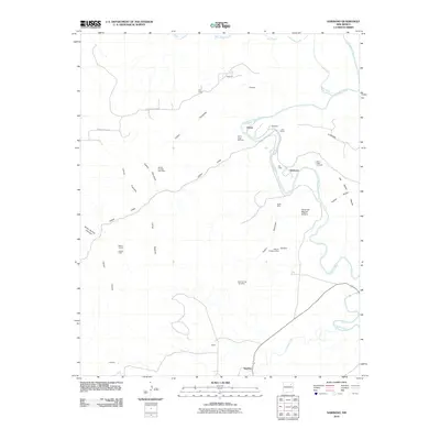 2010 Sabinoso2010 Print · USGSThe ranching and mining country of San Miguel County comes into focus here at the start of the 2010s. Researchers can trace family history at Sabinoso and Ancon, or locate remote landmarks like the Cañon Largo Cemetery and Lujan Ranch.
 - 2010 Map of Canon Ancho, 2010 Print
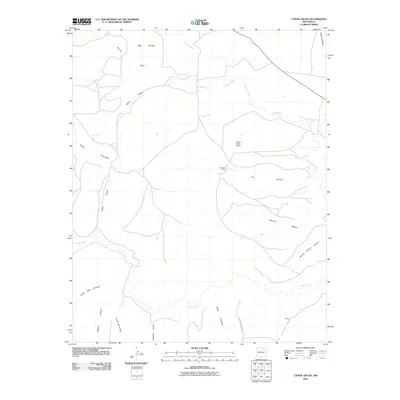 2010 Canon Ancho2010 Print · USGSSan Miguel County in the early twenty-first century remains a landscape of deep canyons and isolated ranching outposts. Researchers can trace land use patterns through features like Paltenghe Ranch, the Mora River, and the Eureka Ranch Airport.
 - 2010 Map of Waggoner Ranch, 2010 Print
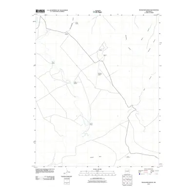 2010 Waggoner Ranch2010 Print · USGSSan Miguel County ranching country is documented here in the early twenty-first century, showing the intersection of traditional land use and modern infrastructure. You can trace vital water sources like Hospital Windmill and the landing strip at Bell Ranch Waggoner Airport.
 - 2010 Map of Conchas Dam, 2010 Print
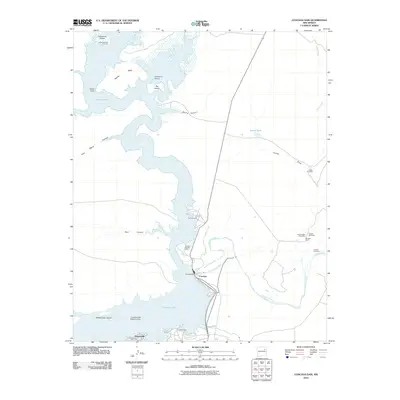 2010 Conchas Dam2010 Print · USGSThe Conchas Dam area at the start of the 21st century centers on the massive reservoir where the Canadian River meets its tributaries. Researchers can locate historic burial sites like Alamosa Plaza Cemetery and trace local ranching history at Murrells Ranch.
 - 2010 Map of La Cinta Mesa, 2010 Print
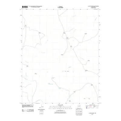 2010 La Cinta Mesa2010 Print · USGSSan Miguel County ranching country is captured here during the first decade of the 2000s, showing a landscape defined by water and high mesas. Researchers can trace local landmarks like Old La Cinta Windmill, Puertocito Pass, and the Canadian River bottomlands.
 - 2010 Map of Cherry Valley Lake, 2010 Print
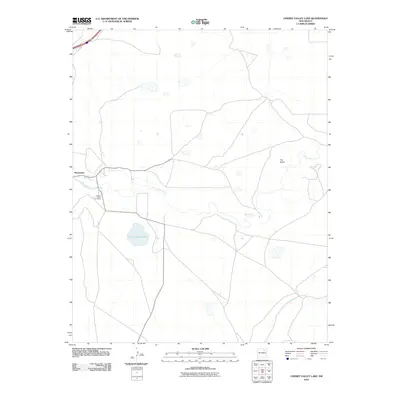 2010 Cherry Valley Lake2010 Print · USGSSan Miguel County in the early 2000s shows a landscape defined by the Mora River and its irrigation systems. Researchers can trace local genealogy at Cherry Valley Cemetery or explore the rural layout of Shoemaker and The Island.
Showing maps 1-25 of 306
Top cities of San Miguel County
Frequently asked questions
- What are the different types of historical maps available for San Miguel County?
- What is the oldest map of San Miguel County?
- Where can I purchase historical maps of San Miguel County for my home or office?
- Where can I download high-res historical maps of San Miguel County?
- Are there historical topographic maps available for San Miguel County?
- Is there historical aerial imagery available for San Miguel County?
- Where are historical maps of San Miguel County sourced from?