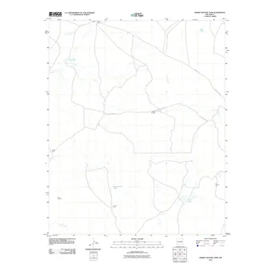
2010 Map of Horse Pasture Tank
USGS Topo · Published 2010About this map
Alamito Camp and the southern Colonias Camp anchor this arid New Mexico landscape, characterized by the critical infrastructure of ranching and early prospecting. The map traces a network of drainage systems including Esteros Creek and Alamito Creek, which eventually feed toward the winding Pecos River at the southern boundary. In an environment defined by water management, features like Horse Pasture Tank, Bell Tank, and Boggie Windmill serve as essential landmarks for the local cattle industry. A notable industrial trace appears in the southwest, where a Gold Prospect indicates historical mineral exploration near Payne Ranch. The transit network is primarily composed of unpaved county roads, such as County Rd 1 and County Road 1CA, reflecting the remote, working nature of the San Miguel County terrain during this period.
Find a feature on this map
16 named features on this map. Tap any name to fly to it.
Don’t see what you’re looking for? This feature index may not catch every label — zoom into the map to look around manually.
Map Details
Editions of this 2010 Horse Pasture Tank Map
This is the sole edition of this map. No revisions or reprints were ever made.
Other maps of this area

1892 · Corazon
USGS Topo · 1:125,000

1894 · Corazon
USGS Topo · 1:125,000

1954 · Santa Fe
USGS Topo · 1:250,000

1958 · Santa Fe
USGS Topo · 1:250,000

1963 · Colonias
USGS Topo · 1:24,000

1963 · Pedro Miguel Peak
USGS Topo · 1:24,000

1963 · Cactus Tank
USGS Topo · 1:24,000
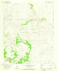
1963 · Horse Pasture Tank
USGS Topo · 1:24,000
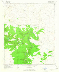
1963 · Catfish Falls
USGS Topo · 1:24,000
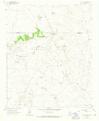
1963 · Bar Y Ranch
USGS Topo · 1:24,000