2020s Maps of San Miguel County, New Mexico
Explore 204 historic maps of San Miguel County from the 2020s. These maps offer a rare glimpse into what life looked like during the 2020s — showing old roads, neighborhoods, homes, and landmarks that have changed or disappeared over time.
Whether you're researching your family's past, planning a metal detecting trip, or studying how San Miguel County's landscape evolved across the 2020s, these high-resolution maps are a powerful tool for exploring the history of this region.
- Focus on a specific era: All maps on this page are from the 2020s, giving you a focused view of this time period.
- See what’s changed: Compare century-old streets, trails, and buildings to today's modern landscape using overlays and satellite layers.
- Research with precision: Use these maps for genealogy, historical research, land use analysis, or educational projects.
- View, download, or print: Maps are fully viewable online in high resolution, and can be downloaded or printed for your own records.
Start exploring San Miguel County's history through authentic maps from the 2020s. This is your window into the past.
San Miguel County, NM maps
(204)- 2020 Map of Cow Canyon, 2020 Print
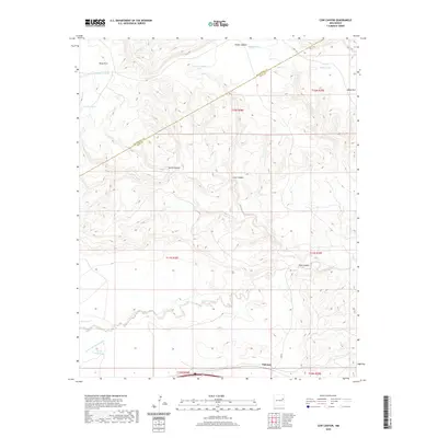 2020 Cow Canyon2020 Print · USGSQuay and San Miguel counties meet in this ranching landscape during the early twenty-first century. Researchers can trace the rugged drainage of Pajarito Creek and locate family-named landmarks like Kauffman Tank and Elliott Tank near Palomas.
 - 2020 Map of Salitre Canyon, 2020 Print
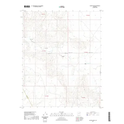 2020 Salitre Canyon2020 Print · USGSSan Miguel County rangeland remains a vast expanse of high-plains topography in this 2020 survey. Genealogists and land researchers can trace the rugged drainage systems of Salitre Canyon and Mosquero Cr along the Harding County line.
 - 2020 Map of Bascom Camp, 2020 Print
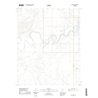 2020 Bascom Camp2020 Print · USGSSan Miguel County's canyon country is documented in the 2020s, showing the winding path of the Canadian River before it enters the Ute Reservoir. Researchers can trace the drainage patterns of Pajarito Creek and locate the historic site of Bascom Camp near the river bend.
 - 2020 Map of Montoya Point, 2020 Print
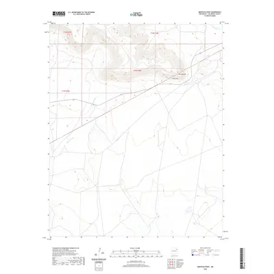 2020 Montoya Point2020 Print · USGSSan Miguel County ranchlands are documented here in the early twenty-first century, showing the area's natural drainage and land divisions. Researchers can trace the path of Arroyo del Gato and locate landmarks such as Montoya Point and Perra Draw.
 - 2020 Map of Alamosa Canyon, 2020 Print
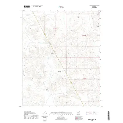 2020 Alamosa Canyon2020 Print · USGSSan Miguel and Harding Counties are captured in this recent survey of New Mexico's canyon-and-mesa country. Researchers can trace land use through cattle tanks like Pothole Tank and remote landmarks such as Rincon Colorado and Dog Canyon.
 - 2020 Map of Chinaberry Canyon, 2020 Print
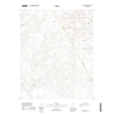 2020 Chinaberry Canyon2020 Print · USGSSan Miguel County ranching country is mapped here in the modern era, showing the vital water infrastructure of the high plains. Researchers can trace land use through stock tanks like Lower Rattlesnake Tank and geographic landmarks such as Chinaberry Canyon.
 - 2020 Map of Medina Mesa, 2020 Print
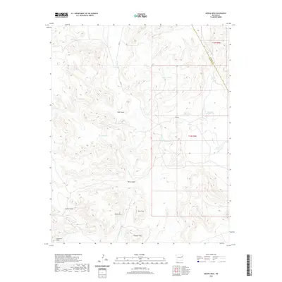 2020 Medina Mesa2020 Print · USGSThe high plateau of San Miguel County is documented in the modern era, showing the intersection of ranching life and desert geography. Researchers can trace land use through naming patterns at Antelope Tank, Road Canyon, and the sprawling Medina Mesa.
 - 2020 Map of Liberty Mesa, 2020 Print
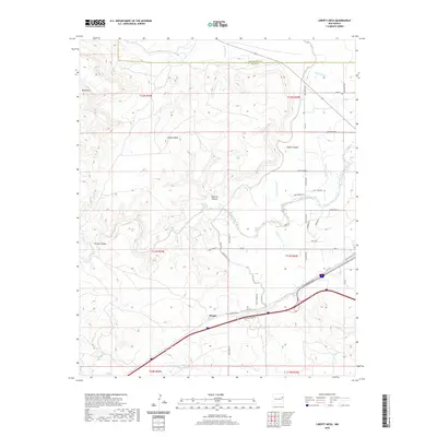 2020 Liberty Mesa2020 Print · USGSThe high mesas and canyons west of Tucumcari are captured here in the contemporary era. Researchers can trace rural water systems like Bell Lateral and Liberty Lateral, or locate the historic roadside vicinity of Hargis near Rte 66.
 - 2020 Map of Solano, 2020 Print
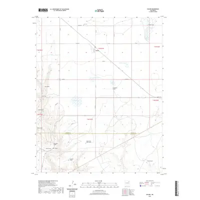 2020 Solano2020 Print · USGSThe high plains of Harding County meet the breaks of the Canadian River drainage in this modern survey of the Solano area. Genealogists and local historians can locate Solano Cem and trace the cattle-country roads leading to Church Lake and Hole-In-the-Wall Canyon.
 - 2020 Map of Llonidas Lake, 2020 Print
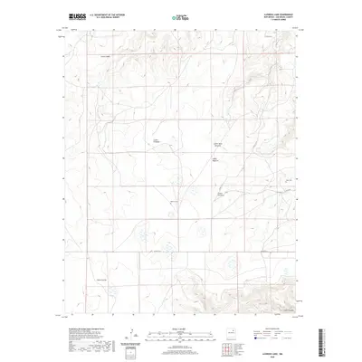 2020 Llonidas Lake2020 Print · USGSSan Miguel County in the modern era remains a place of remote canyons and scattered family legacies. Genealogists and local historians can locate early burial sites like Mathews Cem and Maes Cem near the deep reaches of Cañon Cibolo.
 - 2020 Map of Variadero, 2020 Print
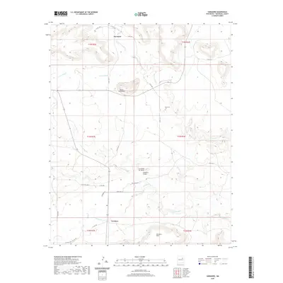 2020 Variadero2020 Print · USGSThe high desert canyons and mesas of San Miguel County are revealed here in the modern era. Trace the rural settlement at Variadero or locate family history at Trementina Cem near the banks of the Conchas River.
 - 2020 Map of Minese Mesa, 2020 Print
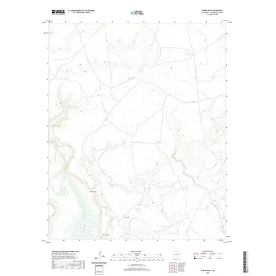 2020 Minese Mesa2020 Print · USGSSan Miguel County remains a landscape of high mesas and river breaks in the early twenty-first century. Researchers can trace the path of the Canadian River and locate remote water sources like Horseshoe Tank and the landmarks of Minese Mesa.
 - 2020 Map of Canon Pedroso, 2020 Print
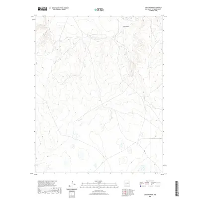 2020 Canon Pedroso2020 Print · USGSSan Miguel County ranch lands and high mesas are captured here in the 2020s, showing a landscape defined by deep drainages and remote roads. Researchers can trace the path of Pedroso Cr as it cuts through Cañon Pedroso or locate access points along C-53-A and Feed Rd.
 - 2020 Map of Bell Ranch, 2020 Print
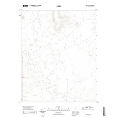 2020 Bell Ranch2020 Print · USGSSan Miguel County ranch lands are depicted here in the modern era, centered on the historic Bell Ranch settlement. Genealogists and researchers can trace the arid landscape’s water sources and landmarks like Huerfano Mesa, Bell Mtn, and La Cinta Cr.
 - 2020 Map of Watrous, 2020 Print
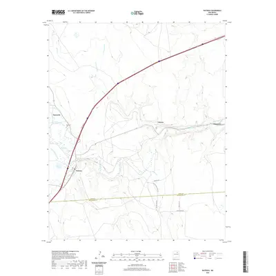 2020 Watrous2020 Print · USGSThe Mora and Sapello river valleys meet in this rural New Mexico landscape, where ranching life follows the historic Santa Fe Trl corridor. Researchers can trace the lineage of early settlements at Tiptonville, Watrous, and Valmora, or locate the Tiptonville Cem and numerous irrigation canals.
 - 2020 Map of Flagstone Mountain, 2020 Print
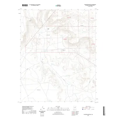 2020 Flagstone Mountain2020 Print · USGSSan Miguel County ranchlands are captured here in the early twenty-first century, showcasing a rugged New Mexico landscape shaped by high mesas and deep canyons. Researchers can trace the drainage of the Conchas River and locate landmarks like Flagstone Mtn and Vivian Hill.
 - 2020 Map of Wade Canyon, 2020 Print
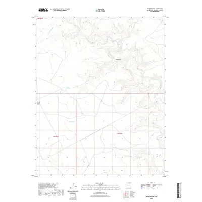 2020 Wade Canyon2020 Print · USGSSan Miguel County ranch lands are captured here in the early twenty-first century as the landscape remains defined by its deep drainages. Researchers can trace the rugged path of the Canadian River and locate historic livestock water sources like Picket Pens Tank and Elise Tank.
 - 2020 Map of Carpenter Mesa NW, 2020 Print
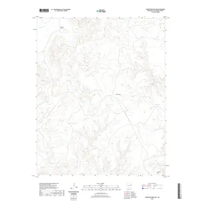 2020 Carpenter Mesa NW2020 Print · USGSSan Miguel County ranching country is mapped here in the modern era, showing the intersection of high-mesa terrain and vital water infrastructure. Researchers can trace the drainages of Cow Pass Cr and locate remote stock points like Saint Patrick Tank and Blanco Tank.
 - 2020 Map of Trinchera Creek, 2020 Print
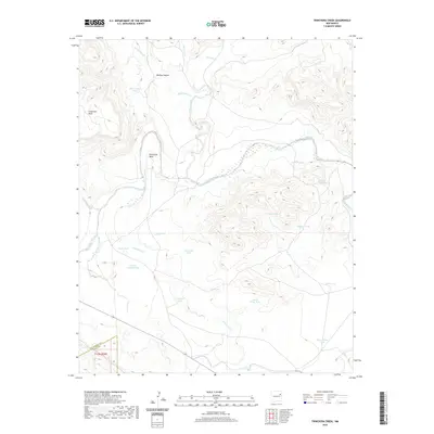 2020 Trinchera Creek2020 Print · USGSSan Miguel County ranchlands and river canyons are documented here in the early twenty-first century. Researchers can trace land features and water infrastructure across Carpenter Mesa or locate named landmarks like Horseshoe Bend and Sacaton Tank.
 - 2020 Map of Mesa Lauriano, 2020 Print
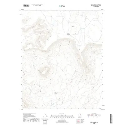 2020 Mesa Lauriano2020 Print · USGSSan Miguel County's high mesa country is captured in this modern survey of the high desert terrain. Researchers can locate Los Torres Cem near the Gallinas River or trace the drainage paths of Indio Arroyo and Cañon Lauriano.
 - 2020 Map of Punta Del Chorro, 2020 Print
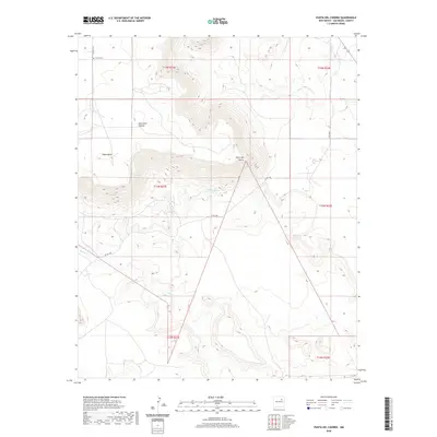 2020 Punta Del Chorro2020 Print · USGSSan Miguel County is captured here in the early twenty-first century, showcasing a rugged terrain of mesas and springs. Genealogists and researchers can locate the remote Tuloso Cem or trace the geography around Punta del Chorro and Chorro Spring.
 - 2020 Map of Goetsch Lake, 2020 Print
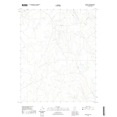 2020 Goetsch Lake2020 Print · USGSSan Miguel County's high plains and river drainages are captured here in the years following the turn of the millennium. Genealogists and land researchers can trace property boundaries and rural access routes like Goetsch Ln near Goetsch Lake and along the Conchas River.
 - 2020 Map of Mesita Del Gato, 2020 Print
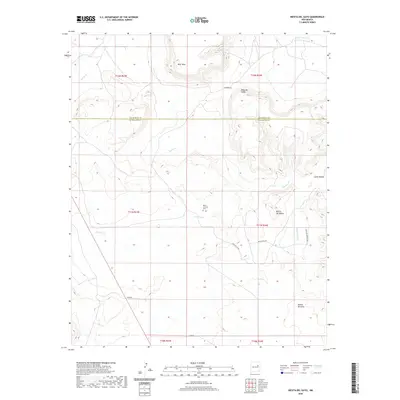 2020 Mesita Del Gato2020 Print · USGSThe high mesas of San Miguel and Guadalupe counties are captured here in the modern era, revealing a landscape of deep arroyos and isolated plateaus. Genealogists and hikers can trace rural routes to Monte Calvario Cem or explore the terrain around Mesita del Gato and Cahon Bonita.
 - 2020 Map of La Cinta Mesa, 2020 Print
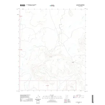 2020 La Cinta Mesa2020 Print · USGSSan Miguel County ranching country is documented here as it appeared in the early twenty-first century. Researchers can trace land use through catchments like High Lonesome Tank and Sunflower Tank or locate the crossing at Puertocito Pass.
 - 2020 Map of Carpenter Mesa SW, 2020 Print
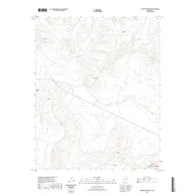 2020 Carpenter Mesa SW2020 Print · USGSSan Miguel County high-desert terrain is documented here as it appeared in recent years, shaped by the waters of the Canadian River. Researchers can trace irrigation history through the Conchas Canal and find named ranching landmarks like Manhead Mesa and Bollschweiler Tank.
Showing maps 1-25 of 204
Top cities of San Miguel County
Frequently asked questions
- What are the different types of historical maps available for San Miguel County?
- What is the oldest map of San Miguel County?
- Where can I purchase historical maps of San Miguel County for my home or office?
- Where can I download high-res historical maps of San Miguel County?
- Are there historical topographic maps available for San Miguel County?
- Is there historical aerial imagery available for San Miguel County?
- Where are historical maps of San Miguel County sourced from?