1970s Maps of San Miguel County, New Mexico
Explore 29 historic maps of San Miguel County from the 1970s. These maps offer a rare glimpse into what life looked like during the 1970s — showing old roads, neighborhoods, homes, and landmarks that have changed or disappeared over time.
Whether you're researching your family's past, planning a metal detecting trip, or studying how San Miguel County's landscape evolved across the 1970s, these high-resolution maps are a powerful tool for exploring the history of this region.
- Focus on a specific era: All maps on this page are from the 1970s, giving you a focused view of this time period.
- See what’s changed: Compare century-old streets, trails, and buildings to today's modern landscape using overlays and satellite layers.
- Research with precision: Use these maps for genealogy, historical research, land use analysis, or educational projects.
- View, download, or print: Maps are fully viewable online in high resolution, and can be downloaded or printed for your own records.
Start exploring San Miguel County's history through authentic maps from the 1970s. This is your window into the past.
San Miguel County, NM maps
(29)- 1971 Map of Goetsch Lake, 1975 Print
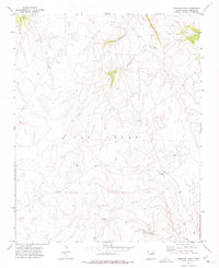 1971 Goetsch Lake1975 Print · USGSSan Miguel County ranchlands in the early 1970s reveal a quiet, high-altitude landscape of drainage basins and family-owned spreads. Researchers can trace the water sources and roads around Goetsch Ranch, Goetsch Lake, and the winding Tipton Creek.
 - 1971 Map of Laguna Huerfana, 1975 Print
 1971 Laguna Huerfana1975 Print · USGSSan Miguel County's canyon-carved plateaus are captured here in the early seventies, showing a landscape defined by deep draws and isolated water sources. Researchers can trace rural landmarks like the Old Taloso School, the Jimenez Cem, and the waters of Laguna Huerfana.
 - 1971 Map of Canon Pedroso, 1975 Print
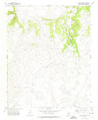 1971 Canon Pedroso1975 Print · USGSSan Miguel County's high plains are documented in the early seventies, capturing the arid transition between major land grants. Researchers can trace the path of Pedroso Creek through the Mora and Las Vegas territories.
 - 1971 Map of Trujillo, 1975 Print
 1971 Trujillo1975 Print · USGSSan Miguel County ranching country is captured here in the early 1970s, centered on the high mesas near the settlement of Trujillo. Genealogists and local historians can locate the PO and Cem, or trace the winding paths of Cañon Largo and Trementina Creek.
 - 1971 Map of Alamito, 1975 Print
 1971 Alamito1975 Print · USGSNortheastern New Mexico ranchlands meet the deep river breaks of the High Plains in the early seventies. Genealogists and local historians can trace family-named landmarks like Cañon de los Nieves and Banco Redondo near the remote settlement of Alamito.
 - 1971 Map of Canon Olguin, 1975 Print
 1971 Canon Olguin1975 Print · USGSSan Miguel County is captured in the early seventies, showcasing a high-desert landscape of winding canyons and expansive mesas. Researchers can trace the isolated Jeep Trails connecting landmarks like Mesa Huerfana and the lonely Grave near Padilla.
 - 1971 Map of Laguna La Monia, 1975 Print
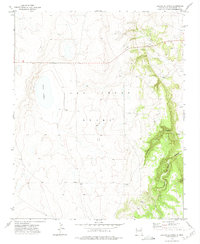 1971 Laguna La Monia1975 Print · USGSSan Miguel County ranchlands are captured here in the early 1970s, showcasing the high-plains terrain of the Las Vegas Grant. Researchers can trace old stock operations at Feliz Ranch and Anchor Ranch or explore the drainage of Box Canyon.
 - 1971 Map of Canon Encierro, 1975 Print
 1971 Canon Encierro1975 Print · USGSThe high canyon country of northeastern New Mexico is captured here in the early seventies, showing a landscape defined by the winding Canadian River. Researchers can locate isolated burial sites like Armenta Plaza Cem and trace old family landforms such as Valle Romero.
 - 1972 Map of Bell Ranch
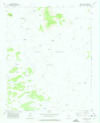 1972 Bell Ranch1972 Print · USGSSan Miguel County ranching country is documented here during the early seventies, showing the working heart of the Pablo Montoya Grant. Researchers can trace the water and livestock infrastructure of the era, from the Bell Ranch headquarters to the Big Flat Corral and Round Top Windmill.
 - 1972 Map of Variadero, 1975 Print
 1972 Variadero1975 Print · USGSSan Miguel County's high mesa country comes to life in the early 1970s, centered on the Conchas River valley. Genealogists can trace family footprints at the Trementina Cem, San Rafael Ch, and the settlement of Variadero (Garita PO).
 - 1972 Map of Four V Ranch, 1975 Print
 1972 Four V Ranch1975 Print · USGSSan Miguel County ranch lands are documented here in the early 1970s, showing the intersection of remote cattle operations and the Conchas reservoir. Genealogists and historians can locate the Four V Ranch, a secluded Grave, and the winding path of Trementina Creek.
 - 1972 Map of Arroyo Alamocito, 1975 Print
 1972 Arroyo Alamocito1975 Print · USGSSan Miguel County ranching country is captured here in the early 1970s, showcasing the high mesa landscape before modern shifts in land use. Researchers can locate remote outposts like La Cinta Ranch and essential water sources such as Sixty-Gallon Windmill.
 - 1972 Map of Maes, 1975 Print
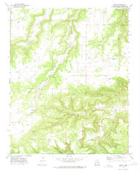 1972 Maes1975 Print · USGSSan Miguel County ranching country is captured here in the early seventies, showing a landscape carved by deep canyons. Genealogists can locate family landmarks like Maestas School, Juan Torres Lake, and the isolated Juan Torres Cem.
 - 1972 Map of Llonidas Lake, 1975 Print
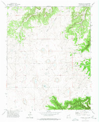 1972 Llonidas Lake1975 Print · USGSSan Miguel and Mora counties in the early 1970s appear as a rugged ranching landscape defined by deep canyon drainages. Genealogists can trace family footprints at Mathews Cem, the L Wilson Ranch, and Llonidas Lake.
 - 1972 Map of La Silla, 1975 Print
 1972 La Silla1975 Print · USGSSan Miguel County ranching country is captured in the early seventies, showing a land defined by high mesas and seasonal water. Genealogists and historians can trace the drainages of Garita Creek and Pino Creek or locate isolated water sources like the Spring near Mesa Variadero.
 - 1972 Map of Cabra Hill, 1975 Print
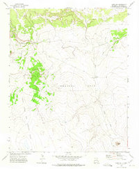 1972 Cabra Hill1975 Print · USGSSan Miguel County ranch lands in the early 1970s are defined by historic land grants and seasonal waterways. Researchers can trace the ranching life and land boundaries of the Preston Beck Grant near Cabra Springs Ranch and Cabra Hill.
 - 1972 Map of Montoya Point, 1975 Print
 1972 Montoya Point1975 Print · USGSSan Miguel County ranch lands are documented here during the early seventies, showcasing the vast Pablo Montoya grant. Researchers can trace water resources and backcountry routes through landmarks like Three Legged Windmill and the high Montoya Point.
 - 1972 Map of Bookout Ranch, 1975 Print
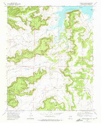 1972 Bookout Ranch1975 Print · USGSSan Miguel County ranching country is captured here in the early 1970s before the landscape changed further. Genealogists and historians can trace the remote Bookout Ranch, identify the Chavez (Ruins), and locate a small Cem near the banks of Cuervo Creek.
 - 1972 Map of Mesa Pino, 1975 Print
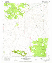 1972 Mesa Pino1975 Print · USGSSan Miguel County ranch lands come into focus in the early seventies, detailing the isolated homesteads and river valleys of the New Mexico high desert. Genealogists and land historians can trace the Sena Cem, the Quintana Ranch, and the prominent Mesa Pino.
 - 1972 Map of Punta Del Chorro, 1975 Print
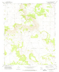 1972 Punta Del Chorro1975 Print · USGSSan Miguel County's high mesa country is captured here in the early seventies, showing a landscape shaped by massive land grants and remote springs. Genealogists and local historians can locate Tuloso Cem and trace seasonal water at Chorro Spring or Salitre Creek.
 - 1972 Map of San Ramon, 1975 Print
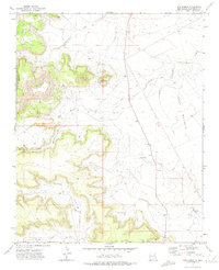 1972 San Ramon1975 Print · USGSSan Miguel County ranching country is captured in the early seventies, showing a landscape of remote camps and rugged arroyos. Genealogists and local historians can trace the footings of San Ramon, locate the Cem, and follow the path of Trementina Creek.
 - 1972 Map of Waggoner Ranch, 1975 Print
 1972 Waggoner Ranch1975 Print · USGSHigh plains ranching in San Miguel County comes to life in the 1970s, centered on the Pablo Montoya grant. Researchers can trace the essential water network of the era, from the Hole-in-the-Wall Windmill to the remote Landing Strips and Waggoner Ranch.
 - 1972 Map of Sabinoso, 1975 Print
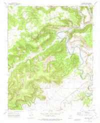 1972 Sabinoso1975 Print · USGSSan Miguel County ranchlands and river canyons come into focus during the early 1970s. Genealogists and historians can trace the remote settlements of Sabinoso and Sanchez, locating the Santa Mission Ch and the Cañon Largo Cem.
 - 1972 Map of Cerro De Corazon, 1975 Print
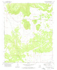 1972 Cerro De Corazon1975 Print · USGSSan Miguel County ranch lands come into focus in the early seventies, centered around the high mesas and deep arroyos of the New Mexico interior. Researchers can trace the local community through Trementina PO, Sagrado Corazon Cem, and the winding Corazon Creek.
 - 1972 Map of Wade Canyon, 1975 Print
 1972 Wade Canyon1975 Print · USGSSan Miguel County ranching country is documented in the early seventies as it spans the historic Pablo Montoya grant. Local historians can trace water sources and old landmarks like Whiskey Windmill, Picket Pens Tank, and the lone Cem near the Canadian River.
Showing maps 1-25 of 29
Top cities of San Miguel County
Frequently asked questions
- What are the different types of historical maps available for San Miguel County?
- What is the oldest map of San Miguel County?
- Where can I purchase historical maps of San Miguel County for my home or office?
- Where can I download high-res historical maps of San Miguel County?
- Are there historical topographic maps available for San Miguel County?
- Is there historical aerial imagery available for San Miguel County?
- Where are historical maps of San Miguel County sourced from?