
1972 Map of Four V Ranch
USGS Topo · Published 1975About this map
Four V Ranch sits within a landscape defined by the intricate drainages of the Pablo Montoya land grant in San Miguel County. The 1970s terrain is marked by the confluence of Trementina Creek and the Conchas River, which feeds into the western reaches of Conchas Lake. This cattle country landscape is sparsely populated, yet reveals a deep local history through remote landmarks like a lonely Grave north of the ranch and a small Cem near the creek. The presence of two separate Landing Strip locations reflects the necessity of private air travel in this expansive New Mexico interior. Deep canyons such as Four V Canyon and Maria Jose Canyon cut through the high ground, illustrating the complex erosion patterns that lead toward the reservoir's edge.
Find a feature on this map
12 named features on this map. Tap any name to fly to it.
Don’t see what you’re looking for? This feature index may not catch every label — zoom into the map to look around manually.
Map Details
Editions of this 1972 Four V Ranch Map
This is the sole edition of this map. No revisions or reprints were ever made.
Other maps of this area

1954 · Santa Fe
USGS Topo · 1:250,000

1958 · Santa Fe
USGS Topo · 1:250,000

1967 · Tenaja Mesa
USGS Topo · 1:24,000

1968 · Conchas Dam
USGS Topo · 1:24,000

1972 · Variadero
USGS Topo · 1:24,000

1972 · La Silla
USGS Topo · 1:24,000
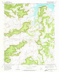
1972 · Bookout Ranch
USGS Topo · 1:24,000
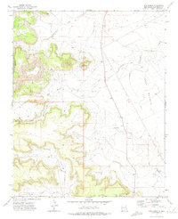
1972 · San Ramon
USGS Topo · 1:24,000

1972 · Wade Canyon
USGS Topo · 1:24,000
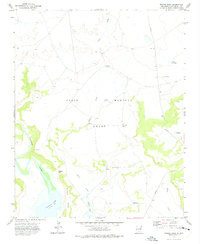
1972 · Minese Mesa
USGS Topo · 1:24,000