Old Maps of Valencia County, New Mexico
Explore 64 old maps of Valencia County, spanning from 1916 to today. These high-resolution historic maps reveal how streets, neighborhoods, landmarks, and natural features evolved over time — perfect for genealogy, metal detecting, research, and local history exploration.
What you can do with these maps:
- See how Valencia County changed over time: Compare historical maps to modern-day views to trace roads, homesites, rail lines & more.
- View detailed metadata: Each map includes creators, publishers, year, scale, and archive source.
- Overlay maps with satellite & LiDAR: Visualize the past alongside modern tools to explore terrain & human change.
- Trusted historical sources: Maps sourced from the USGS, Library of Congress, and other archives.
- Access maps your way: View online, download high-res files, or order prints for personal or research use.
Start exploring old maps of Valencia County to uncover forgotten places, hidden landmarks, and the deep history beneath your feet.
Valencia County, NM maps
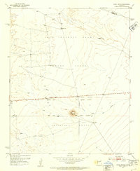
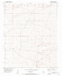
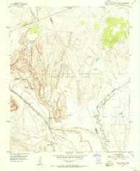
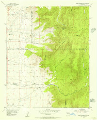
(64)- 1916 Map of La Joya
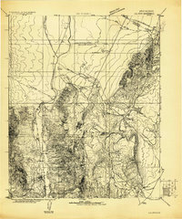 1916 La Joya1916 Print · USGSCovers Valencia County, including Socorro, McNierney, and other nearby areas
 - 1917 Map of Estancia
 1917 Estancia1917 Print · USGSCovers Valencia County, including Moriarty, Estancia, and other nearby areas
 - 1917 Map of Cerro Verde
 1917 Cerro Verde1917 Print · USGSCovers Valencia County, including Eastern Navajo Agency, Payne Place, and other nearby areas
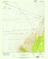
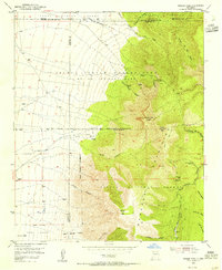
 - 1952 Map of Dalies, 1953 Print
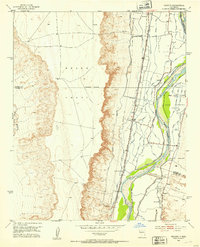
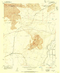 1952 Dalies1953 Print · USGSCovers Valencia County, including Los Lunas, Sandia, and other nearby areas2 unique versions available
 - 1952 Map of Tome SE, 1953 Print
 1952 Tome SE1953 Print · USGSCovers Valencia County, including United States, New Mexico, and other nearby areas4 unique versions available
 - 1952 Map of Belen SW, 1953 Print
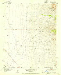
 1952 Belen SW1953 Print · USGSCovers Valencia County, including Socorro County, United States, and other nearby areas
 - 1952 Map of Black Butte, 1953 Print
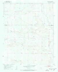
 1952 Black Butte1953 Print · USGSCovers Valencia County, including Block 421, Socorro County, and other nearby areas2 unique versions available
 - 1952 Map of Tome NE, 1953 Print
 1952 Tome NE1953 Print · USGSCovers Valencia County, including United States, New Mexico, and other nearby areas4 unique versions available
 - 1952 Map of Belen, 1953 Print
 1952 Belen1953 Print · USGSCovers Valencia County, including Belen, Azul, and other nearby areas3 unique versions available
 - 1952 Map of Turn, 1953 Print
 1952 Turn1953 Print · USGSCovers Valencia County, including Rio Communities, Casa Colorada, and other nearby areas3 unique versions available
 - 1952 Map of Veguita, 1953 Print
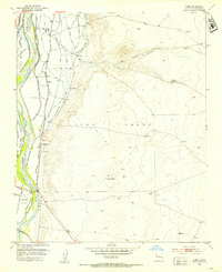
 1952 Veguita1953 Print · USGSCovers Valencia County, including Pueblitos, Bosque, and other nearby areas3 unique versions available
 - 1952 Map of Belen NW, 1953 Print
 1952 Belen NW1953 Print · USGSCovers Valencia County, including United States, New Mexico, and other nearby areas3 unique versions available
 - 1952 Map of Rio Puerco, 1953 Print
 1952 Rio Puerco1953 Print · USGSCovers Valencia County, including Rio Puerco, Bernalillo County, and other nearby areas2 unique versions available
 - 1952 Map of Hubbell Spring, 1953 Print
 1952 Hubbell Spring1953 Print · USGSCovers Valencia County, including Albuquerque, Bernalillo County, and other nearby areas4 unique versions available
 - 1952 Map of Tome, 1953 Print
 1952 Tome1953 Print · USGSCovers Valencia County, including Los Lunas, Belen, and other nearby areas3 unique versions available
 - 1952 Map of Los Lunas SE, 1953 Print
 1952 Los Lunas SE1953 Print · USGSCovers Valencia County, including Los Lunas, Meadow Lake, and other nearby areas2 unique versions available
 - 1952 Map of Becker, 1953 Print
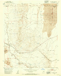
 1952 Becker1953 Print · USGSCovers Valencia County, including Becker, Socorro County, and other nearby areas2 unique versions available
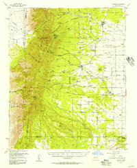
 - 1952 Map of Los Lunas, 1954 Print
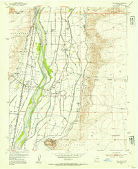 1952 Los Lunas1954 Print · USGSCovers Valencia County, including Los Lunas, Bosque Farms, and other nearby areas3 unique versions available
 - 1952 Map of Isleta, 1954 Print
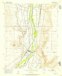 1952 Isleta1954 Print · USGSCovers Valencia County, including Albuquerque, Isleta, and other nearby areas3 unique versions available
 - 1954 Map of South Garcia, 1955 Print
 1954 South Garcia1955 Print · USGSCovers Valencia County, including South Garcia, Bernalillo County, and other nearby areas2 unique versions available
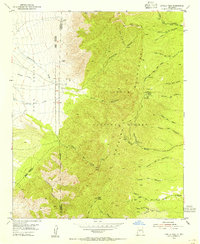
 - 1954 Map of Bosque Peak, 1955 Print
 1954 Bosque Peak1955 Print · USGSCovers Valencia County, including Zelete's Rock, Bernalillo County, and other nearby areas3 unique versions available
 - 1954 Map of Capilla Peak, 1955 Print
 1954 Capilla Peak1955 Print · USGSCovers Valencia County, including McKinley Place, Torrance County, and other nearby areas4 unique versions available
 - 1954 Map of South Garcia SE, 1955 Print
 1954 South Garcia SE1955 Print · USGSCovers Valencia County, including Bernalillo County, United States, and other nearby areas3 unique versions available
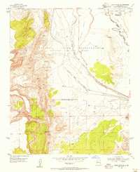
 - 1954 Map of Mount Washington, 1955 Print
 1954 Mount Washington1955 Print · USGSCovers Valencia County, including Bernalillo County, United States, and other nearby areas4 unique versions available
 - 1954 Map of Torreon, 1957 Print
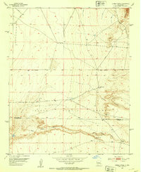
 1954 Torreon1957 Print · USGSCovers Valencia County, including Mountainair, El Gato, and other nearby areas2 unique versions available
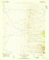
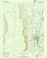
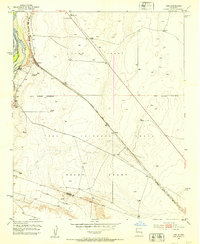
Showing maps 1-25 of 64
Top cities of Valencia County
- Los Lunas historical maps
- Belen historical maps
- Rio Communities historical maps
- Bosque Farms historical maps
- Peralta historical maps
Frequently asked questions
- What are the different types of historical maps available for Valencia County?
- What is the oldest map of Valencia County?
- Where can I purchase historical maps of Valencia County for my home or office?
- Where can I download high-res historical maps of Valencia County?
- Are there historical topographic maps available for Valencia County?
- Is there historical aerial imagery available for Valencia County?
- Where are historical maps of Valencia County sourced from?