
1954 Map of South Garcia SE
USGS Topo · Published 1955About this map
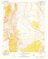
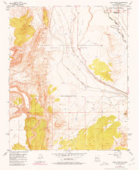
Laguna Indian Reservation land dominates this 1950s landscape, where the high relief of Black Mesa and Hidden Mountain breaks the desert terrain. The infrastructure of the era is defined by the Atchison Topeka and Santa Fe railroad, which follows the natural corridor of the Arroyo Garcia as it heads toward the Rio Puerco basin. This survey provides a precise record of tribal and county boundaries, marking the intersection of the Isleta Indian Reservation and the line between Bernalillo and Valencia counties. Evidence of ancient habitation is preserved in several clusters of Indian Ruins, while the presence of a Pipe Line and Levee system illustrates the mid-century industrial development and water management necessary for this arid environment near Spring (Salt).
Find a feature on this map
13 named features on this map. Tap any name to fly to it.
Don’t see what you’re looking for? This feature index may not catch every label — zoom into the map to look around manually.
Map Details
Editions of this 1954 South Garcia SE Map
3 editions found
Other maps of this area

1917 · Cerro Verde
USGS Topo · 1:125,000

1952 · Belen NW
USGS Topo · 1:24,000

1952 · Rio Puerco
USGS Topo · 1:24,000

1952 · Dalies NW
USGS Topo · 1:24,000

1954 · South Garcia
USGS Topo · 1:24,000

1954 · Socorro
USGS Topo · 1:250,000

1956 · South Garcia
USGS Topo · 1:62,500

1956 · Mesa Aparejo
USGS Topo · 1:62,500

1958 · Socorro
USGS Topo · 1:250,000

1962 · Socorro
USGS Topo · 1:250,000