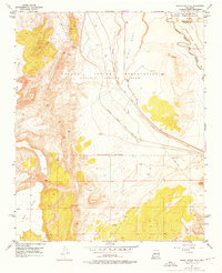
1954 Map of South Garcia SE
USGS Topo · Published 1976About this map
The vast tribal territories of the Laguna Indian Reservation (Antonio Sedillo Grant) and Isleta Indian Reservation (Isleta Pueblo Grant) converge in this 1950s survey of the New Mexico landscape. The terrain is defined by dramatic geological features, including the rising heights of Lucero Mesa, Black Mesa, and Carrizo Mesa. The Atchison Topeka and Santa Fe railroad cuts a diagonal path through the central plains, following the lowlands between the mesas toward the Rio Puerco.
Find a feature on this map
15 named features on this map. Tap any name to fly to it.
Don’t see what you’re looking for? This feature index may not catch every label — zoom into the map to look around manually.
Map Details
Editions of this 1954 South Garcia SE Map
3 editions found
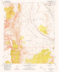
Other maps of this area

1917 · Cerro Verde
USGS Topo · 1:125,000

1952 · Belen NW
USGS Topo · 1:24,000

1952 · Rio Puerco
USGS Topo · 1:24,000

1952 · Dalies NW
USGS Topo · 1:24,000

1954 · South Garcia
USGS Topo · 1:24,000

1954 · South Garcia SE
USGS Topo · 1:24,000

1954 · Socorro
USGS Topo · 1:250,000

1956 · South Garcia
USGS Topo · 1:62,500

1956 · Mesa Aparejo
USGS Topo · 1:62,500

1958 · Socorro
USGS Topo · 1:250,000