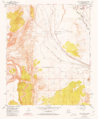
1954 Map of South Garcia SE
USGS Topo · Published 1980About this map
The high desert landscape of central New Mexico is defined here by the crossing of major land grants and transport infrastructure in the mid-1950s. The Laguna Indian Reservation and Isleta Indian Reservation meet across a terrain characterized by volcanic and sedimentary landforms, including the prominent Black Mesa and the western slopes of Hidden Mountain. The Atchison Topeka and Santa Fe railroad cuts a diagonal path across the plain, following the general course of the Arroyo Garcia.
Find a feature on this map
18 named features on this map. Tap any name to fly to it.
Don’t see what you’re looking for? This feature index may not catch every label — zoom into the map to look around manually.
Map Details
Editions of this 1954 South Garcia SE Map
3 editions found
Other maps of this area

1917 · Cerro Verde
USGS Topo · 1:125,000

1952 · Belen NW
USGS Topo · 1:24,000

1952 · Rio Puerco
USGS Topo · 1:24,000

1952 · Dalies NW
USGS Topo · 1:24,000

1954 · South Garcia
USGS Topo · 1:24,000

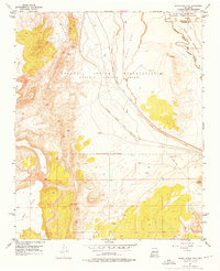
1954 · South Garcia SE
USGS Topo · 1:24,000

1954 · Socorro
USGS Topo · 1:250,000

1956 · South Garcia
USGS Topo · 1:62,500

1956 · Mesa Aparejo
USGS Topo · 1:62,500

1958 · Socorro
USGS Topo · 1:250,000