
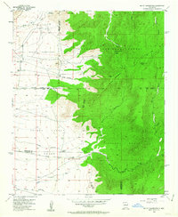
1954 Map of Mount Washington
USGS Topo · Published 1955About this map
Sandia Military Reservation and the northwestern edge of the Isleta Pueblo define the western reaches of this mid-century New Mexican landscape. The terrain rises sharply from the western basin into the dense elevations of the Cibola National Forest, marked by the distinct summits of Mount Washington and Sol se Mete Peak. Water is a critical and sparse resource here, indicated by the presence of Coyote Springs and Sol se Mete Spring, along with several Water Tanks positioned near the pueblo boundaries.
Find a feature on this map
33 named features on this map. Tap any name to fly to it.
Don’t see what you’re looking for? This feature index may not catch every label — zoom into the map to look around manually.
Map Details
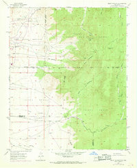
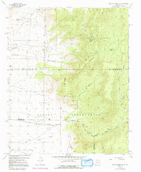
Editions of this 1954 Mount Washington Map
4 editions found
Other maps of this area

1888 · Bernalillo
USGS Topo · 1:125,000

1889 · Albuquerque
USGS Topo · 1:125,000

1892 · San Pedro
USGS Topo · 1:125,000

1893 · Albuquerque
USGS Topo · 1:125,000

1917 · Estancia
USGS Topo · 1:125,000

1934 · East Albuquerque
USGS Topo · 1:24,000

1938 · Albuquerque
USGS Topo · 1:62,500

1952 · Hubbell Spring
USGS Topo · 1:24,000

1952 · Los Lunas SE
USGS Topo · 1:24,000

1954 · Bosque Peak
USGS Topo · 1:24,000