2020s Maps of Cattaraugus County, New York
Explore 41 historic maps of Cattaraugus County from the 2020s. These maps offer a rare glimpse into what life looked like during the 2020s — showing old roads, neighborhoods, homes, and landmarks that have changed or disappeared over time.
Whether you're researching your family's past, planning a metal detecting trip, or studying how Cattaraugus County's landscape evolved across the 2020s, these high-resolution maps are a powerful tool for exploring the history of this region.
- Focus on a specific era: All maps on this page are from the 2020s, giving you a focused view of this time period.
- See what’s changed: Compare century-old streets, trails, and buildings to today's modern landscape using overlays and satellite layers.
- Research with precision: Use these maps for genealogy, historical research, land use analysis, or educational projects.
- View, download, or print: Maps are fully viewable online in high resolution, and can be downloaded or printed for your own records.
Start exploring Cattaraugus County's history through authentic maps from the 2020s. This is your window into the past.
Cattaraugus County, NY maps
(41)- 2023 Map of Ivory, 2023 Print
 2023 Ivory2023 Print · USGSWestern New York's ridge-and-valley landscape is documented here in the 2020s, showing the enduring rural layout of the Chautauqua borderlands. Genealogists and hikers can trace the winding paths of Frews Run or locate quiet landmarks like Ivory Cemetery and the settlement of Vollentine.
 - 2023 Map of Perrysburg, 2023 Print
 2023 Perrysburg2023 Print · USGSThe Chautauqua and Cattaraugus county line divides this rural landscape as it appeared in the early 2020s. Genealogists can locate several historic burial grounds, such as Perrysburg Cem and Cottage Cem, alongside small hamlets like Smith Mills and Nashville.
 - 2023 Map of Stickney, 2023 Print
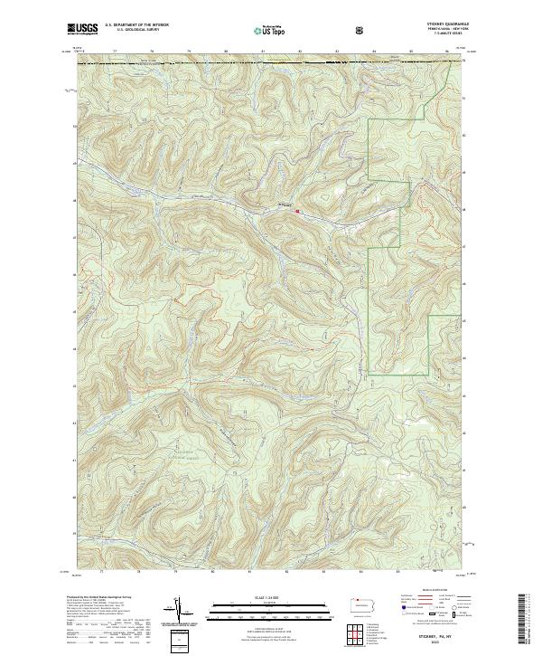 2023 Stickney2023 Print · USGSMcKean County at the turn of the twenty-first century reveals a landscape shaped by timber and forest recreation along the New York border. Trace old landmarks like Schoolhouse Hollow and Shingle Mill Hollow near the hamlet of Stickney.
 - 2023 Map of Kennedy, 2023 Print
 2023 Kennedy2023 Print · USGSThe border of Chautauqua and Cattaraugus Counties comes to life here in the early twenty-first century. Genealogists can locate family burial sites at Riverside Cem and Pioneer Cem while tracing the winding path of Conewango Creek.
 - 2023 Map of Salamanca, 2023 Print
 2023 Salamanca2023 Print · USGSSalamanca and the Allegheny River valley are shown in this modern survey, capturing the region's mix of industry, aviation, and geography. Researchers can trace local burial sites like Wildwood Cem and Kill Buck Cem or locate landmarks like Little Rock City.
 - 2023 Map of Bliss, 2023 Print
 2023 Bliss2023 Print · USGSModern-day Wyoming County remains a landscape of high plateaus and creek headwaters, as seen here in the early twenty-first century. Genealogists and local historians can locate long-standing sites like Saint Mary's Cem, Cadwell Corners, and the settlement of Bliss.
 - 2023 Map of Ellicottville, 2023 Print
 2023 Ellicottville2023 Print · USGSModern-day Cattaraugus County is depicted here with its steep ridges and valley settlements. Genealogists can locate several historic burial sites like Sunset Hill Cem and Maples Cem near the village of Ellicottville.
 - 2023 Map of Sardinia, 2023 Print
 2023 Sardinia2023 Print · USGSWestern New York’s rural uplands are shown in high detail at the start of the 2020s, spanning the rolling terrain between the villages of Holland and Sardinia. Researchers can trace old family burial grounds at Pratham Cem or follow the dramatic topography of Richmond Gulf and Cattaraugus Creek.
 - 2023 Map of Little Valley, 2023 Print
 2023 Little Valley2023 Print · USGSCattaraugus County's high ridges and river valleys are captured here in the early twenty-first century as recreational trails began to define the landscape. Local historians can trace old family sites and landmarks like Maple Grove Cem, Bucktooth Island, and the quiet settlement of Elkdale.
 - 2023 Map of Springville, 2023 Print
 2023 Springville2023 Print · USGSSpringville and the surrounding townships of Erie County are shown in detail during the early 2020s. Researchers can locate numerous local landmarks including Maplewood Cem, the hamlets of East Concord and Glenwood, and the winding path of Eighteenmile Creek.
 - 2023 Map of New Albion, 2023 Print
 2023 New Albion2023 Print · USGSCattaraugus County's high plateaus and creek valleys are documented here in the early twenty-first century. Genealogists and historians can trace family locations through several burial grounds like Tug Hill Cem and Kendall Flats Cem or locate the Neverland Airport.
 - 2023 Map of Cuba, 2023 Print
 2023 Cuba2023 Print · USGSThe Cuba area in the twenty-first century maintains its character as a valley-centered network of crossroads and watercourses. Researchers can locate family landmarks like Bristol Cem or trace the early industrial significance of the Seneca Oil Spring.
 - 2023 Map of Arcade, 2023 Print
 2023 Arcade2023 Print · USGSThe confluence of Wyoming, Erie, and Cattaraugus counties is captured here in the early twenty-first century. Genealogists can trace family sites at Punkshire Cem, Curriers Rural Cem, and the village of Arcade.
 - 2023 Map of Hinsdale, 2023 Print
 2023 Hinsdale2023 Print · USGSCattaraugus County in the early twenty-first century remains a landscape of high ridges and deep creek valleys. Researchers can locate family burial sites at Hinsdale Cem or trace the early settlement footprints at Ischua and Smith Hollow.
 - 2023 Map of Knapp Creek, 2023 Print
 2023 Knapp Creek2023 Print · USGSCattaraugus County in the early twenty-first century reveals a landscape of isolated river settlements and upland valleys. Trace the routes between Vandalia, Chipmunk, and Knapp Creek, or locate local landmarks like Saint Patricks Cem and Mount Moriah.
 - 2023 Map of North Collins, 2023 Print
 2023 North Collins2023 Print · USGSThe rural landscape of southern Erie County comes into focus in this contemporary survey of the hamlets surrounding North Collins. Genealogists and historians can trace long-standing family landmarks like Huson Cem, the North Collins Quaker Meeting House Cem, and the winding Cattaraugus Creek.
 - 2023 Map of Ashford, 2023 Print
 2023 Ashford2023 Print · USGSCattaraugus County’s high ridges and hollows are detailed here, showing the rural character of the Ashford and Devereaux area today. Researchers can locate family landmarks like Bryant Hill Cem, trace the Finger Lakes Trl - North Country Trl, and explore the drainage of Great Valley Creek.
 - 2023 Map of Freedom, 2023 Print
 2023 Freedom2023 Print · USGSIn the hills of western New York, this contemporary survey captures the enduring rural character of the county line. Researchers can locate historic family plots and landmarks like Old Burying Grounds, Farmersville Station, and Crystal Lake.
 - 2023 Map of West Valley, 2023 Print
 2023 West Valley2023 Print · USGSThe hamlet of West Valley and the surrounding Cattaraugus County uplands are shown in high detail in this modern survey. Genealogists can locate family burial sites at Riceville Cem, Kimball Cem, and Mount Hope Cem among the hills.
 - 2023 Map of Humphrey, 2023 Print
 2023 Humphrey2023 Print · USGSCattaraugus County's rural valleys and high ridges are shown here in the 2020s, highlighting the enduring settlement patterns of the Southern Tier. You can trace family history at the Saint Pacificus Catholic Cem or explore the drainage of Tenmile Creek and Forks Creek.
 - 2023 Map of Randolph, 2023 Print
 2023 Randolph2023 Print · USGSCattaraugus County is shown in this contemporary look at the rural crossroads and creek valleys of western New York. Researchers can locate family sites and old homesteads near the East Randolph Cem, Stillson Pond, and the settlement of Napoli.
 - 2023 Map of Cornplanter Run, 2023 Print
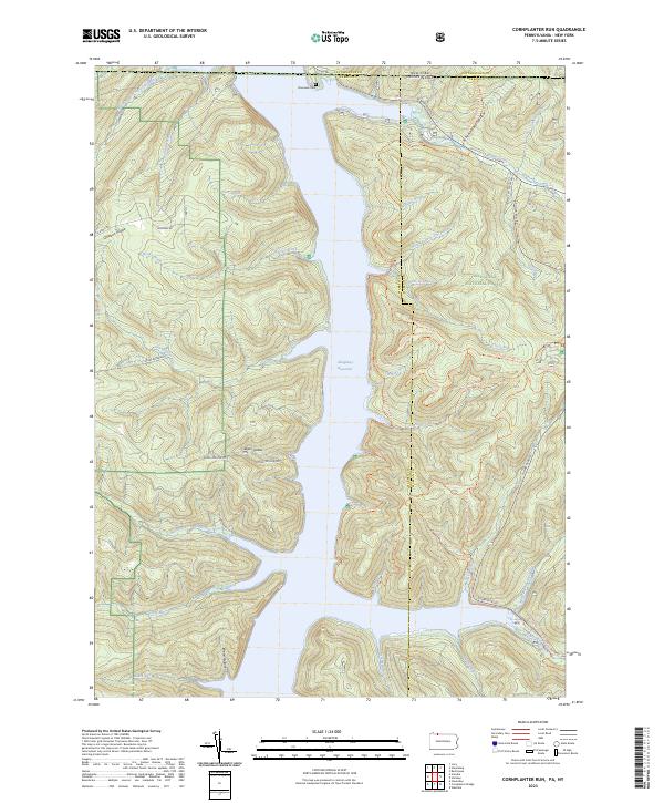 2023 Cornplanter Run2023 Print · USGSThe Allegheny National Forest meets the New York border in the 2020s, showing a landscape defined by the Allegheny Reservoir. Researchers can trace old routes like Cornplanter Road or find family landmarks at Riverview Cemetery and Roper Hollow.
 - 2023 Map of Scandia, 2023 Print
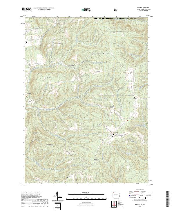 2023 Scandia2023 Print · USGSWarren County, Pennsylvania, is shown here as a landscape of deep valleys and forested ridges during the early twenty-first century. Researchers can locate numerous family-named burial grounds like Macks Corners Cem and Smith Cem alongside landmarks such as Scandia Air Park.
 - 2023 Map of Eldred, 2023 Print
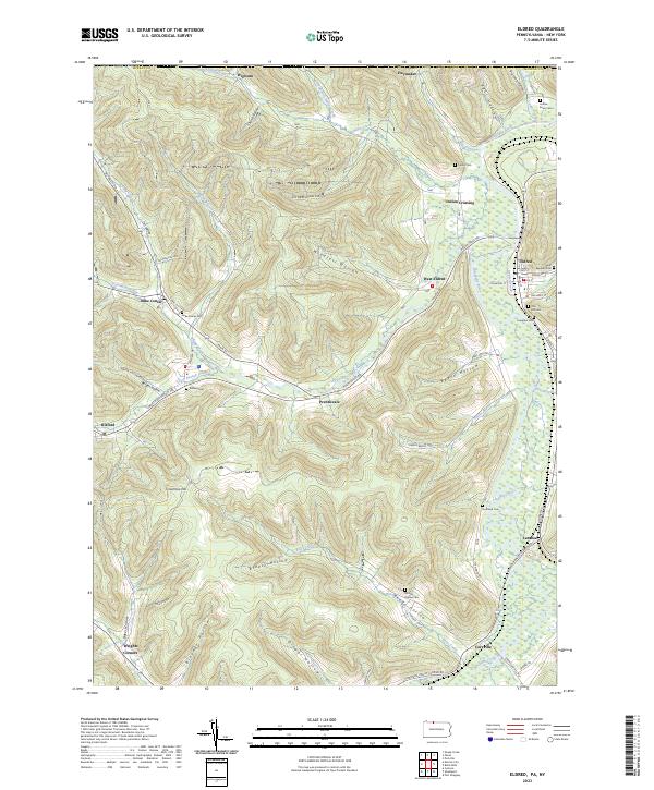 2023 Eldred2023 Print · USGSMcKean County at the turn of the twenty-first century reveals a landscape of deep hollows and river-bottom settlements along the Allegheny River. Genealogists can locate family burial grounds like Saint Raphael Cem and Moody Hollow Cem or trace the early foundations of Duke Center and Eldred.
 - 2023 Map of Bradford, 2023 Print
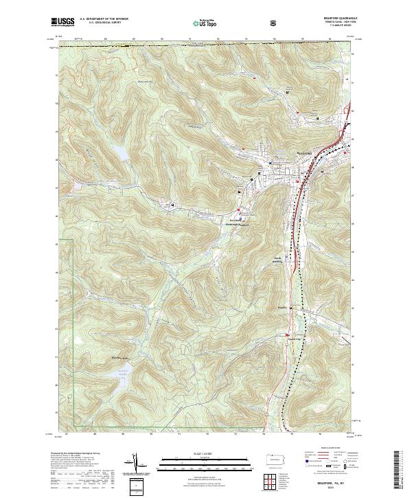 2023 Bradford2023 Print · USGSBradford and its southern suburbs are shown in high detail during the early 2020s, nestled between the Allegheny National Forest and the New York state line. Researchers can locate numerous local landmarks including the Tefares Israel Congregation and Cem, Hazelton Mills, and Oak Hill Cem.
Showing maps 1-25 of 41
Top cities of Cattaraugus County
- Olean historical maps
- Allegany historical maps
- Salamanca historical maps
- Yorkshire historical maps
- Portville historical maps
- Franklinville historical maps
See more
Frequently asked questions
- What are the different types of historical maps available for Cattaraugus County?
- What is the oldest map of Cattaraugus County?
- Where can I purchase historical maps of Cattaraugus County for my home or office?
- Where can I download high-res historical maps of Cattaraugus County?
- Are there historical topographic maps available for Cattaraugus County?
- Is there historical aerial imagery available for Cattaraugus County?
- Where are historical maps of Cattaraugus County sourced from?