2000s (21st Century) Maps of Coldspring, New York
Explore 22 historic maps of Coldspring from the 2000s (21st Century). These maps offer a rare glimpse into what life looked like during the 2000s — showing old roads, neighborhoods, homes, and landmarks that have changed or disappeared over time.
Whether you're researching your family's past, planning a metal detecting trip, or studying how Coldspring's landscape evolved across the 2000s, these high-resolution maps are a powerful tool for exploring the history of this region.
- Focus on a specific era: All maps on this page are from the 2000s, giving you a focused view of this time period.
- See what’s changed: Compare century-old streets, trails, and buildings to today's modern landscape using overlays and satellite layers.
- Research with precision: Use these maps for genealogy, historical research, land use analysis, or educational projects.
- View, download, or print: Maps are fully viewable online in high resolution, and can be downloaded or printed for your own records.
Start exploring Coldspring's history through authentic maps from the 2000s. This is your window into the past.
Coldspring, NY maps
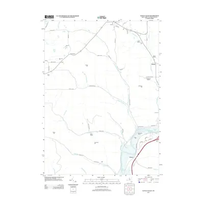
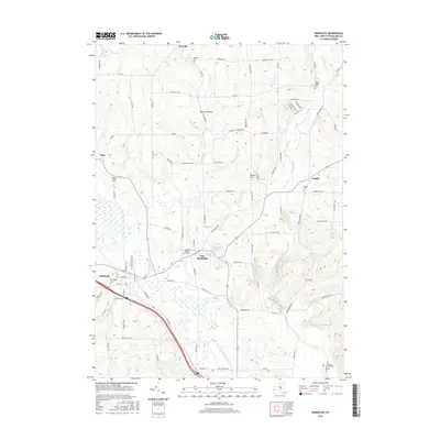
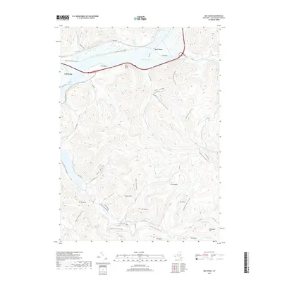
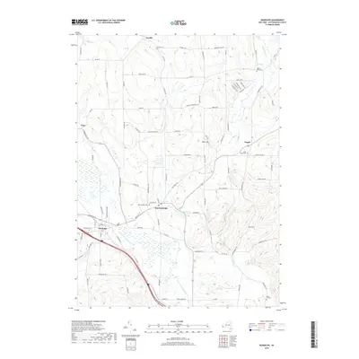
(22)- 2010 Map of Randolph, 2010 Print
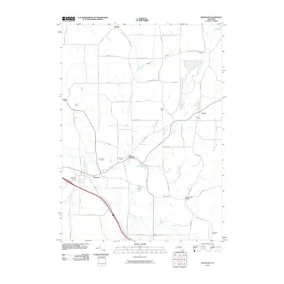 2010 Randolph2010 Print · USGSCovers Coldspring, including Randolph, Conewango, and other nearby areas
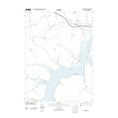
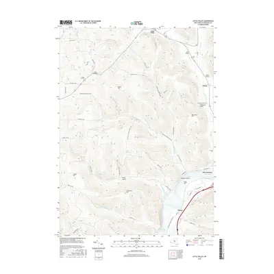
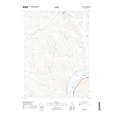
 - 2010 Map of Little Valley, 2010 Print
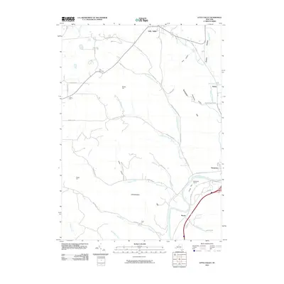 2010 Little Valley2010 Print · USGSCovers Coldspring, including Salamanca, Little Valley, and other nearby areas
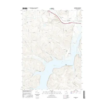
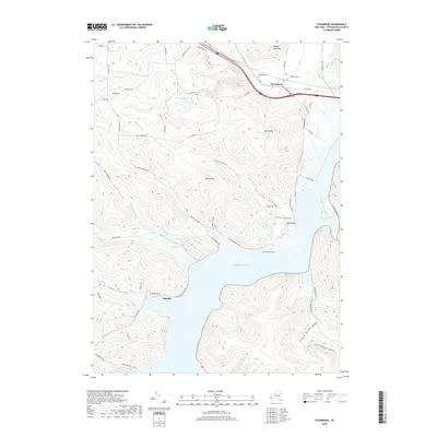
 - 2010 Map of Steamburg, 2010 Print
 2010 Steamburg2010 Print · USGSCovers Coldspring, including Randolph, South Valley, and other nearby areas
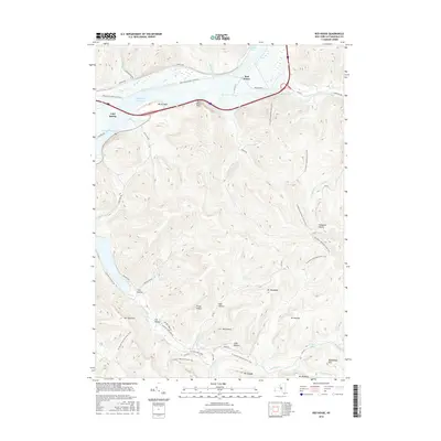
 - 2010 Map of Red House, 2010 Print
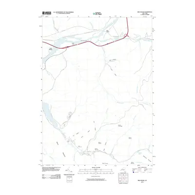 2010 Red House2010 Print · USGSCovers Coldspring, including Red House, Beck Hollow, and other nearby areas
 - 2013 Map of Little Valley, 2013 Print
 2013 Little Valley2013 Print · USGSCovers Coldspring, including Salamanca, Little Valley, and other nearby areas
 - 2013 Map of Steamburg, 2013 Print
 2013 Steamburg2013 Print · USGSCovers Coldspring, including Randolph, South Valley, and other nearby areas
 - 2013 Map of Randolph, 2013 Print
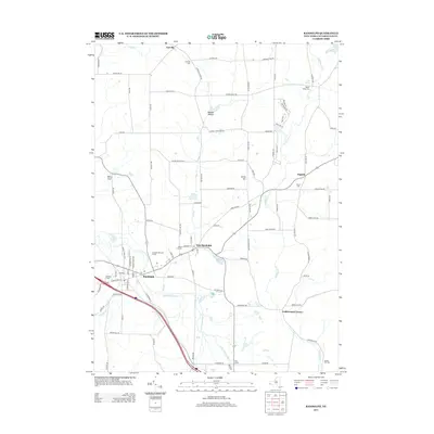 2013 Randolph2013 Print · USGSCovers Coldspring, including Randolph, Conewango, and other nearby areas
 - 2013 Map of Red House, 2013 Print
 2013 Red House2013 Print · USGSCovers Coldspring, including Red House, Beck Hollow, and other nearby areas
 - 2016 Map of Randolph, 2016 Print
 2016 Randolph2016 Print · USGSCovers Coldspring, including Randolph, Conewango, and other nearby areas
 - 2016 Map of Little Valley, 2016 Print
 2016 Little Valley2016 Print · USGSCovers Coldspring, including Salamanca, Little Valley, and other nearby areas
 - 2016 Map of Steamburg, 2016 Print
 2016 Steamburg2016 Print · USGSCovers Coldspring, including Randolph, South Valley, and other nearby areas
 - 2016 Map of Red House, 2016 Print
 2016 Red House2016 Print · USGSCovers Coldspring, including Red House, Beck Hollow, and other nearby areas
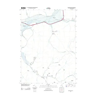
 - 2019 Map of Red House, 2019 Print
 2019 Red House2019 Print · USGSCovers Coldspring, including Red House, Beck Hollow, and other nearby areas
 - 2019 Map of Randolph, 2019 Print
 2019 Randolph2019 Print · USGSCovers Coldspring, including Randolph, Conewango, and other nearby areas
 - 2019 Map of Little Valley, 2019 Print
 2019 Little Valley2019 Print · USGSCovers Coldspring, including Salamanca, Little Valley, and other nearby areas
 - 2019 Map of Steamburg, 2019 Print
 2019 Steamburg2019 Print · USGSCovers Coldspring, including Randolph, South Valley, and other nearby areas
 - 2023 Map of Stickney, 2023 Print
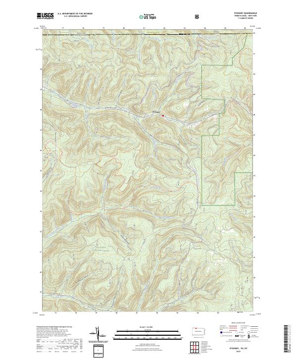 2023 Stickney2023 Print · USGSMcKean County at the turn of the twenty-first century reveals a landscape shaped by timber and forest recreation along the New York border. Trace old landmarks like Schoolhouse Hollow and Shingle Mill Hollow near the hamlet of Stickney.
 - 2023 Map of Little Valley, 2023 Print
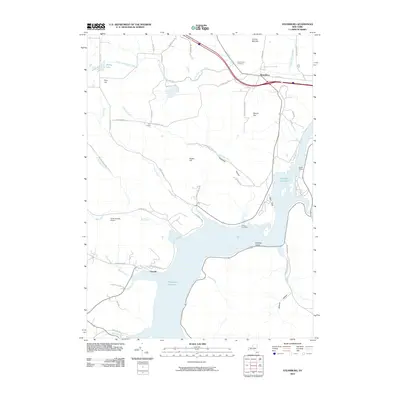
 2023 Little Valley2023 Print · USGSCattaraugus County's high ridges and river valleys are captured here in the early twenty-first century as recreational trails began to define the landscape. Local historians can trace old family sites and landmarks like Maple Grove Cem, Bucktooth Island, and the quiet settlement of Elkdale.
 - 2023 Map of Randolph, 2023 Print
 2023 Randolph2023 Print · USGSCattaraugus County is shown in this contemporary look at the rural crossroads and creek valleys of western New York. Researchers can locate family sites and old homesteads near the East Randolph Cem, Stillson Pond, and the settlement of Napoli.
 - 2023 Map of Cornplanter Run, 2023 Print
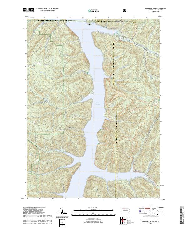 2023 Cornplanter Run2023 Print · USGSThe Allegheny National Forest meets the New York border in the 2020s, showing a landscape defined by the Allegheny Reservoir. Researchers can trace old routes like Cornplanter Road or find family landmarks at Riverview Cemetery and Roper Hollow.
 - 2023 Map of Steamburg, 2023 Print
 2023 Steamburg2023 Print · USGSSteamburg and the southern Allegheny River valley are shown in this contemporary era, where the massive Allegheny Reservoir has reshaped the terrain. Genealogists can locate Steamburg Cem and the Old Town Cem, or trace landmarks like Halliday Island.
 - 2023 Map of Red House, 2023 Print
 2023 Red House2023 Print · USGSCattaraugus County in the early twenty-first century remains a landscape of high ridges and river valleys dominated by Allegany State Park. Researchers can trace historic routes like Old Rte 280 or locate landmarks such as Science Lake, Mount Tuscarora, and Witchs Walk.
End of results
Showing maps 1-22 of 22
Top cities near Coldspring
- Bradford historical maps
- Salamanca historical maps
- Carroll historical maps
- Randolph historical maps
- Lafayette Township historical maps
- Poland historical maps
See more
Top neighborhoods of Coldspring
Frequently asked questions
- What are the different types of historical maps available for Coldspring?
- What is the oldest map of Coldspring?
- Where can I purchase historical maps of Coldspring for my home or office?
- Where can I download high-res historical maps of Coldspring?
- Are there historical topographic maps available for Coldspring?
- Is there historical aerial imagery available for Coldspring?
- Where are historical maps of Coldspring sourced from?