2000s (21st Century) Maps of Sterling, New York
Explore 25 historic maps of Sterling from the 2000s (21st Century). These maps offer a rare glimpse into what life looked like during the 2000s — showing old roads, neighborhoods, homes, and landmarks that have changed or disappeared over time.
Whether you're researching your family's past, planning a metal detecting trip, or studying how Sterling's landscape evolved across the 2000s, these high-resolution maps are a powerful tool for exploring the history of this region.
- Focus on a specific era: All maps on this page are from the 2000s, giving you a focused view of this time period.
- See what’s changed: Compare century-old streets, trails, and buildings to today's modern landscape using overlays and satellite layers.
- Research with precision: Use these maps for genealogy, historical research, land use analysis, or educational projects.
- View, download, or print: Maps are fully viewable online in high resolution, and can be downloaded or printed for your own records.
Start exploring Sterling's history through authentic maps from the 2000s. This is your window into the past.
Sterling, NY maps
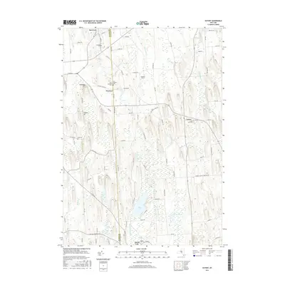
(25)- 2010 Map of Victory, 2010 Print
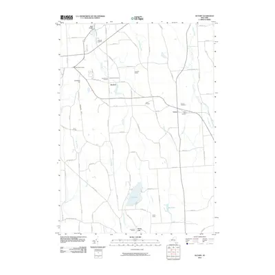 2010 Victory2010 Print · USGSCovers Sterling, including Wolcott, Butler, and other nearby areas
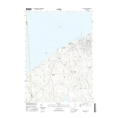
 - 2010 Map of Fair Haven, 2010 Print
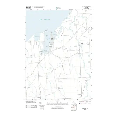 2010 Fair Haven2010 Print · USGSCovers Sterling, including Wolcott, Victory, and other nearby areas
 - 2010 Map of Hannibal, 2010 Print
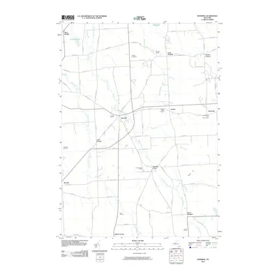 2010 Hannibal2010 Print · USGSCovers Sterling, including Oswego, Granby, and other nearby areas
 - 2010 Map of Oswego West, 2010 Print
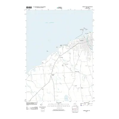 2010 Oswego West2010 Print · USGSCovers Sterling, including Oswego, Oswego, and other nearby areas
 - 2010 Map of West Ninemile Point, 2010 Print
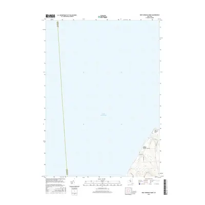
 2010 West Ninemile Point2010 Print · USGSCovers Sterling, including Moon Beach, Wayne County, and other nearby areas
 - 2013 Map of Hannibal, 2013 Print
 2013 Hannibal2013 Print · USGSCovers Sterling, including Oswego, Granby, and other nearby areas
 - 2013 Map of Fair Haven, 2013 Print
 2013 Fair Haven2013 Print · USGSCovers Sterling, including Wolcott, Victory, and other nearby areas
 - 2013 Map of Victory, 2013 Print
 2013 Victory2013 Print · USGSCovers Sterling, including Wolcott, Butler, and other nearby areas
 - 2013 Map of West Ninemile Point, 2013 Print
 2013 West Ninemile Point2013 Print · USGSCovers Sterling, including Moon Beach, Wayne County, and other nearby areas
 - 2013 Map of Oswego West, 2013 Print
 2013 Oswego West2013 Print · USGSCovers Sterling, including Oswego, Oswego, and other nearby areas
 - 2016 Map of Fair Haven, 2016 Print
 2016 Fair Haven2016 Print · USGSCovers Sterling, including Wolcott, Victory, and other nearby areas
 - 2016 Map of Hannibal, 2016 Print
 2016 Hannibal2016 Print · USGSCovers Sterling, including Oswego, Granby, and other nearby areas
 - 2016 Map of Victory, 2016 Print
 2016 Victory2016 Print · USGSCovers Sterling, including Wolcott, Butler, and other nearby areas
 - 2016 Map of West Ninemile Point, 2016 Print
 2016 West Ninemile Point2016 Print · USGSCovers Sterling, including Moon Beach, Wayne County, and other nearby areas
 - 2016 Map of Oswego West, 2016 Print
 2016 Oswego West2016 Print · USGSCovers Sterling, including Oswego, Oswego, and other nearby areas
 - 2019 Map of Victory, 2019 Print
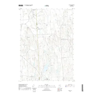 2019 Victory2019 Print · USGSCovers Sterling, including Wolcott, Butler, and other nearby areas
 - 2019 Map of Oswego West, 2019 Print
 2019 Oswego West2019 Print · USGSCovers Sterling, including Oswego, Oswego, and other nearby areas
 - 2019 Map of Fair Haven, 2019 Print
 2019 Fair Haven2019 Print · USGSCovers Sterling, including Wolcott, Victory, and other nearby areas
 - 2019 Map of West Ninemile Point, 2019 Print
 2019 West Ninemile Point2019 Print · USGSCovers Sterling, including Moon Beach, Wayne County, and other nearby areas
 - 2019 Map of Hannibal, 2019 Print
 2019 Hannibal2019 Print · USGSCovers Sterling, including Oswego, Granby, and other nearby areas
 - 2023 Map of Victory, 2023 Print
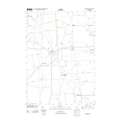
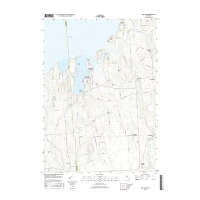
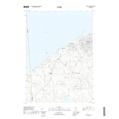
 2023 Victory2023 Print · USGSVictory and the rural borderlands of Wayne and Cayuga counties are shown in this 2023 survey. Researchers can trace land use around Duck Lake and locate several burial sites including Victory Union Cem and Spring Lake Cem.
 - 2023 Map of Hannibal, 2023 Print
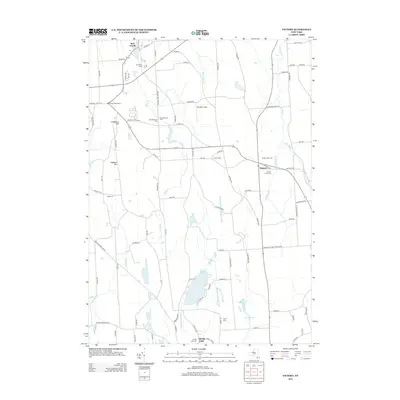
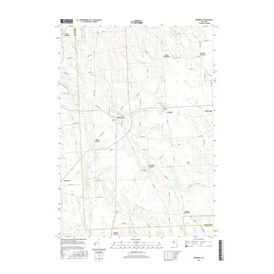
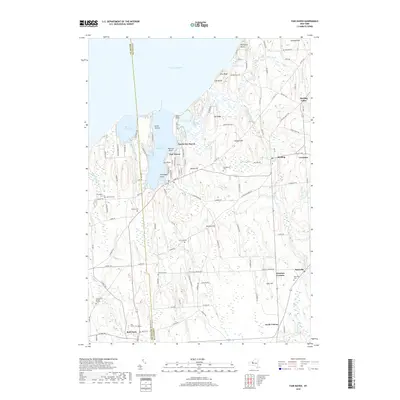
 2023 Hannibal2023 Print · USGSOswego and Cayuga Counties are shown here in the early twenty-first century, preserving a landscape of historic crossroads and rural hamlets. Local researchers can trace family landmarks and burial sites from Hannibal Cem to Pember Corners and the banks of Ninemile Creek.
 - 2023 Map of Oswego West, 2023 Print
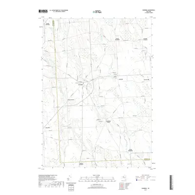
 2023 Oswego West2023 Print · USGSThe lakefront at Oswego and its surrounding townships are shown in detail as they appeared in the early 2020s. Genealogists can trace several local burial grounds including Rice Cem and Stevens Cem or the sprawling SUNY Oswego campus.
 - 2023 Map of West Ninemile Point, 2023 Print
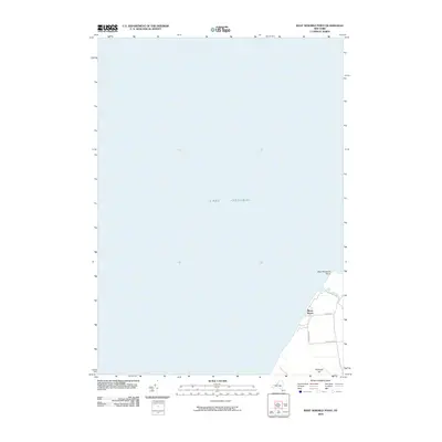
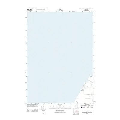
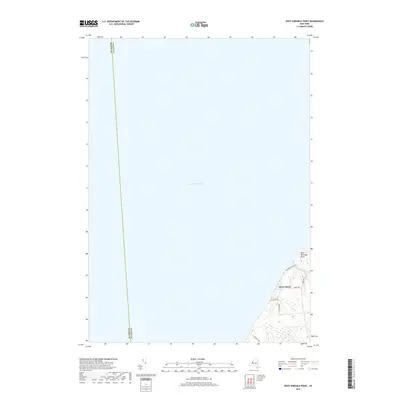
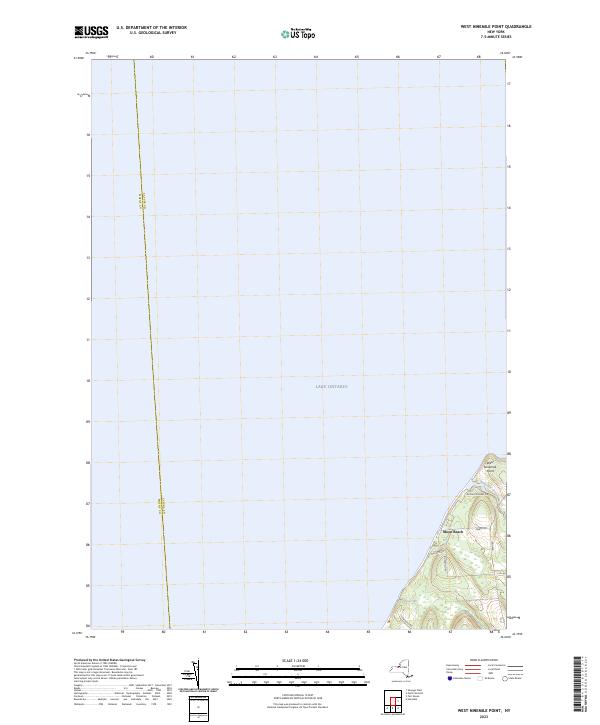 2023 West Ninemile Point2023 Print · USGSThe Lake Ontario shoreline at the Cayuga and Wayne county line is captured in this modern survey. Genealogists and local historians can trace lakeside properties near Moon Beach and the mouth of Ninemile Creek at West Ninemile Point.
 - 2023 Map of Fair Haven, 2023 Print
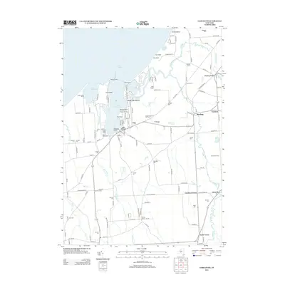
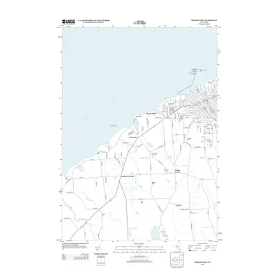
 2023 Fair Haven2023 Print · USGSThe Lake Ontario shoreline near Fair Haven comes alive in this survey of its harbors and hamlets. Researchers can map out ancestral sites at Livingston Cem and Martville Cem or trace the drainage of Sterling Creek from the village of Sterling to the Great Lake.
End of results
Showing maps 1-25 of 25
Top cities near Sterling
- Lysander historical maps
- Oswego historical maps
- Van Buren historical maps
- Fulton historical maps
- Oswego historical maps
- Scriba historical maps
See more
Top neighborhoods of Sterling
- Martville historical maps
- Fintches Corners historical maps
- Moon Beach historical maps
- North Victory historical maps
- Sterling Valley historical maps
- Crocketts historical maps
See more
Frequently asked questions
- What are the different types of historical maps available for Sterling?
- What is the oldest map of Sterling?
- Where can I purchase historical maps of Sterling for my home or office?
- Where can I download high-res historical maps of Sterling?
- Are there historical topographic maps available for Sterling?
- Is there historical aerial imagery available for Sterling?
- Where are historical maps of Sterling sourced from?