Old Maps of Ripley, New York for Academic Research
Study the evolution of Ripley with 36 high-resolution historic maps. Whether you're teaching, researching, or modeling changes in land use, these maps provide essential visual documentation of urban, environmental, and geographic change.
- Analyze long-term change: Track patterns in development, transportation, and natural features.
- Ideal for environmental or urban studies: Support academic projects with primary historical map data.
- Use in the classroom or lab: Educators and researchers rely on these maps to bring historical context to life.
These maps are a powerful tool for teaching, research, and visualizing how Ripley has changed over the decades.
Ripley, NY maps
(36)- 1899 Map of Westfield
 1899 Westfield1899 Print · USGSThe Lake Erie shoreline and the village of Westfield are captured here at the close of the nineteenth century, when railroads dominated the Chautauqua County landscape. Trace the parallel routes of the Lake Shore and Michigan Southern R. R. and find local stops like Prospect Sta. and Barcelona.6 unique versions available
 - 1905 Map of Clymer
 1905 Clymer1905 Print · USGSWestern Chautauqua County at the turn of the century shows a landscape of busy rail corridors and small rural hamlets. Genealogists can trace family roots through crossroads like Sheldon Corners or follow the old tracks through Sherman and Panama Sta.4 unique versions available
 - 1913 Map of North East, 1962 Print
 1913 North East1962 Print · USGSThe Lake Erie shoreline and the Pennsylvania-New York border come alive in this survey of the pre-war lakefront and interior. Genealogists can locate dozens of early district schools and family landmarks like Colts Station, Lowville, and the McCord School.
 - 1915 Map of North East
 1915 North East1915 Print · USGSCoastal Erie County at the height of its early twentieth-century rail and fruit-growing era shows a landscape transitioning from bustling lake ports to quiet hilltop farmsteads. Genealogists can trace family connections through numerous rural schoolhouses and small hubs like Philipsville, Colts Station, and Moorheadville.5 unique versions available
 - 1939 Map of Clymer, 1957 Print
 1939 Clymer1957 Print · USGSChautauqua County’s rural uplands are shown here just before the 1940s, highlighting a network of rail-side hamlets and crossroads. Genealogists can locate family-named sites like Raters Corners and Sheldon Corners or trace the Pennsylvania rail line.4 unique versions available
 - 1941 Map of Clymer, 1945 Print
 1941 Clymer1945 Print · USGSChautauqua County at the start of the 1940s reveals a landscape of highland dairy farms and vital rail links. Genealogists can trace family footprints at Sheldon Corners, find the Nettle Hill Sch, or follow the Pennsylvania RR through Sherman.
 - 1943 Map of North East
 1943 North East1943 Print · USGSThe Lake Erie shoreline in the early 1940s reveals a landscape of productive orchards and lakeside communities at the Pennsylvania-New York border. Family historians can locate dozens of neighborhood schoolhouses and rural crossroads like Colts Station, Gospel Hill Sch, and Orchard Beach.
 - 1954 Map of South Ripley, 1956 Print
 1954 South Ripley1956 Print · USGSWestern Chautauqua County is captured here in the mid-fifties, showing a rural landscape of upland farms and deep ravines before the expansion of modern highways. Genealogists can trace family-named routes like Tanner Road to settlements at South Ripley and Mina.3 unique versions available
 - 1954 Map of Ripley, 1956 Print
 1954 Ripley1956 Print · USGSThe Chautauqua County shoreline in the mid-fifties shows the arrival of the New York State Thruway alongside historic lakefront communities. Trace the development of Ripley and Forsyth or locate family roots near the Quincy Rural Cem and Ripley Beach.2 unique versions available
 - 1960 Map of Buffalo
 1960 Buffalo1960 Print · USGSWestern New York and the Niagara Peninsula thrive during the mid-twentieth century industrial peak. Genealogists and historians can trace family-named points and early settlements from Dunkirk Light to the Allegany Indian Reservation.
 - 1960 Map of North East, 1962 Print
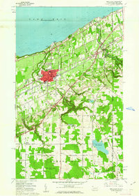 1960 North East1962 Print · USGSThe Lake Erie shoreline in the early 1960s highlights the vital rail and road corridors connecting Pennsylvania to New York. Researchers can trace the layout of North East, identify the campus of St Marys College, and locate rural family hubs like Delhill Corners.4 unique versions available
 - 1962 Map of Buffalo, 1980 Print
 1962 Buffalo1980 Print · USGSThe Niagara Frontier and Western New York are captured here in the early sixties, showing the vital industrial and maritime nexus between the U.S. and Canada. Researchers can trace the path of the Welland Canal, locate the Allegany Indian Reservation, or find family sites near Chautauqua Lake.2 unique versions available
 - 1967 Map of Buffalo
 1967 Buffalo1967 Print · USGSWestern New York and the Lake Erie shoreline are shown here during the mid-1960s industrial peak. Researchers can trace the massive rail networks of the Erie Railroad, locate the Cattaraugus Indian Reservation, or find historic sites like Fort Erie.
 - 1973 Map of Buffalo
 1973 Buffalo1973 Print · USGSWestern New York and Ontario's Golden Horseshoe meet in the early seventies, spanning from the industrial waterfronts of Buffalo to the hills of Allegany State Park. Trace the paths of the Welland Canal and Erie Lackawanna railroad through the lakefront towns of Dunkirk and Port Colborne.
 - 1986 Map of Jamestown
 1986 Jamestown1986 Print · USGSChautauqua County and the Lake Erie shoreline are captured in the mid-eighties as the region balanced its industrial rail hubs with lakeside culture. Local historians can trace the grounds of the Chautauqua Institution, the expansion of Jamestown, and rural landmarks like Sunset Hill Cemetery.2 unique versions available
 - 1996 Map of North East, 1997 Print
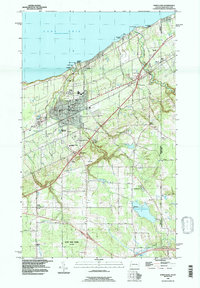 1996 North East1997 Print · USGSThe Lake Erie shoreline in the mid-1990s reveals a landscape of lakeside recreation, agriculture, and transport at the New York border. Researchers can trace local lineage through sites like Northville Cemetery, Merryhurst College, and the family-named Delhill Corners.
 - 2010 Map of Ripley, 2010 Print
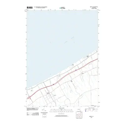 2010 Ripley2010 Print · USGSCoastal Chautauqua County meets the Pennsylvania border in this early twenty-first-century survey of the Lake Erie shoreline. Researchers can trace local landmarks like Quincy Rural Cemetery, the Ripley Airport, and settlements such as Shore Haven and Forsyth.
 - 2010 Map of South Ripley, 2010 Print
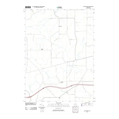 2010 South Ripley2010 Print · USGSChautauqua County's rural uplands are shown in detail at the start of the 2010s, capturing the enduring agricultural character of the New York state line. Researchers can trace local heritage through sites like Mina Cemetery and settlements such as Wattlesburg and South Ripley.
 - 2010 Map of North East OE N, 2010 Print
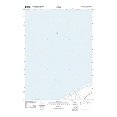 2010 North East OE N2010 Print · USGSThe Lake Erie shoreline at the turn of the 21st century comes into focus on this map of the New York-Pennsylvania border. Property researchers and local historians can trace the coastal layout near the North East Marina, Twentymile Creek, and Lake Shore Dr.
 - 2010 Map of North East, 2010 Print
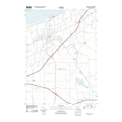 2010 North East2010 Print · USGSThe Erie County shoreline meets New York at the turn of the millennium. Genealogists and local researchers can trace family plots at Oak Hill Cemetery or explore the rural layout of Carris Fruit Farm and Delhill Corners.
 - 2013 Map of Ripley, 2013 Print
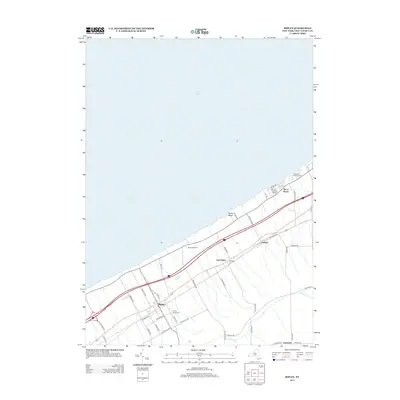 2013 Ripley2013 Print · USGSWestern New York's lakefront comes to life in this study of Chautauqua County's shoreline and rural interior during the early 2010s. Researchers can trace family history through the Quincy Rural Cem or explore the development of lakefront communities like Shore Haven and East Ripley.
 - 2013 Map of South Ripley, 2013 Print
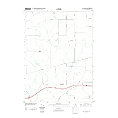 2013 South Ripley2013 Print · USGSChautauqua County’s rural highlands come into focus during the early 2000s, showing a landscape of small crossroads hamlets and family-named landmarks. Researchers can trace local lineages through S Ripley Cem or locate the unique Pratt's Eastern Divide Airport near the W Br French Cr.
 - 2013 Map of North East, 2013 Print
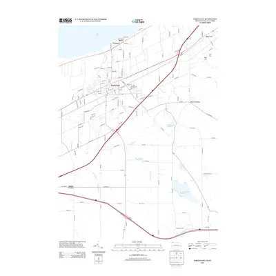 2013 North East2013 Print · USGSThe Pennsylvania lakefront and its productive fruit-growing uplands are documented here just after the turn of the millennium. Researchers can trace rural lineages through local landmarks like Carris Fruit Farm and the lakeside settlements of Orchard Beach and Freeport.
 - 2013 Map of North East OE N, 2013 Print
 2013 North East OE N2013 Print · USGSCoastal life along the Lake Erie shoreline is captured here during the early twenty-first century. Property owners and researchers can trace local developments such as the North East Marina, the Lakeside Golf Course, and lakefront routes like Lake Shore Dr.
 - 2016 Map of North East, 2016 Print
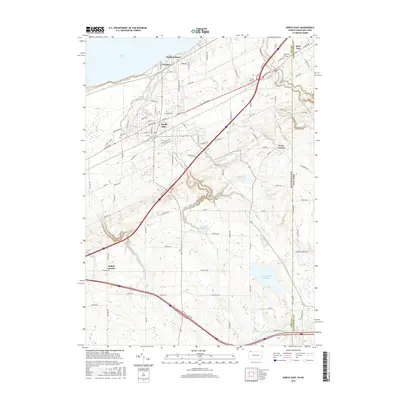 2016 North East2016 Print · USGSThe Lake Erie shoreline and the fruit-growing uplands of Erie County meet here at the Pennsylvania and New York state line. Local historians can trace the rural landscape near North East, identifying old burial sites like Phillips Cem and the waters of Sixteenmile Cr.
Showing maps 1-25 of 36
Top cities near Ripley
- Harborcreek Township historical maps
- North East historical maps
- Westfield historical maps
- Portland historical maps
- Chautauqua historical maps
- Westfield historical maps
See more
Top neighborhoods of Ripley
- South Ripley historical maps
- State Line historical maps
- Wattlesburg historical maps
- Raters Corners historical maps
- Minnegar Corners historical maps
- Forsyth historical maps
See more
Frequently asked questions
- What are the different types of historical maps available for Ripley?
- What is the oldest map of Ripley?
- Where can I purchase historical maps of Ripley for my home or office?
- Where can I download high-res historical maps of Ripley?
- Are there historical topographic maps available for Ripley?
- Is there historical aerial imagery available for Ripley?
- Where are historical maps of Ripley sourced from?