2000s (21st Century) Maps of Clinton County, New York
Explore 188 historic maps of Clinton County from the 2000s (21st Century). These maps offer a rare glimpse into what life looked like during the 2000s — showing old roads, neighborhoods, homes, and landmarks that have changed or disappeared over time.
Whether you're researching your family's past, planning a metal detecting trip, or studying how Clinton County's landscape evolved across the 2000s, these high-resolution maps are a powerful tool for exploring the history of this region.
- Focus on a specific era: All maps on this page are from the 2000s, giving you a focused view of this time period.
- See what’s changed: Compare century-old streets, trails, and buildings to today's modern landscape using overlays and satellite layers.
- Research with precision: Use these maps for genealogy, historical research, land use analysis, or educational projects.
- View, download, or print: Maps are fully viewable online in high resolution, and can be downloaded or printed for your own records.
Start exploring Clinton County's history through authentic maps from the 2000s. This is your window into the past.
Clinton County, NY maps
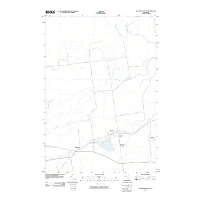
(188)- 2000 Map of Rouses Point
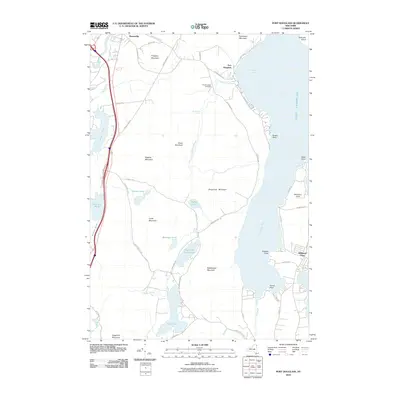
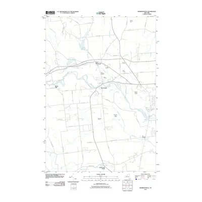
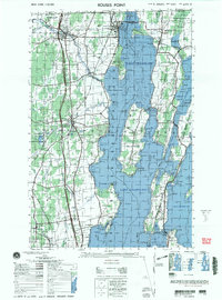 2000 Rouses Point2000 Print · USGSUpper Lake Champlain and the Canadian borderland appear here at the end of the century, showing the intricate shoreline and island communities. Genealogists and local historians can trace family sites at Sacred Heart Cemetery or visit the historic Fort Montgomery (ruins) and St Annes Shrine.
 - 2010 Map of Ellenburg Center, 2010 Print
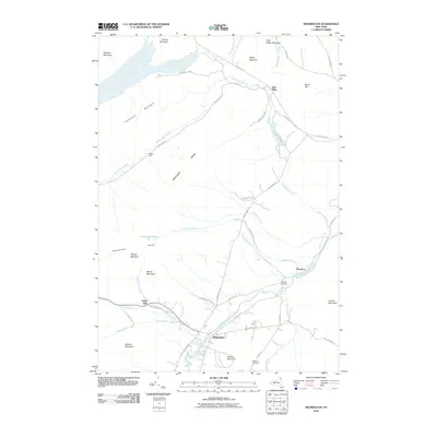
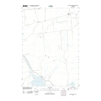 2010 Ellenburg Center2010 Print · USGSCovers Clinton County, including Dannemora, Ellenburg, and other nearby areas
 - 2010 Map of Alder Brook, 2010 Print
 2010 Alder Brook2010 Print · USGSCovers Clinton County, including Saranac, Black Brook, and other nearby areas
 - 2010 Map of Peru, 2010 Print
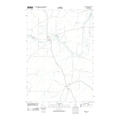
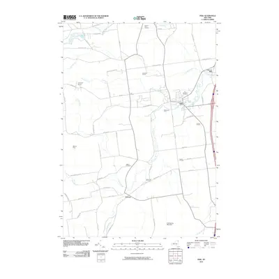 2010 Peru2010 Print · USGSCovers Clinton County, including Peru, Schuyler Falls, and other nearby areas
 - 2010 Map of Peasleeville, 2010 Print
 2010 Peasleeville2010 Print · USGSCovers Clinton County, including Peru, Schuyler Falls, and other nearby areas
 - 2010 Map of Mooers, 2010 Print
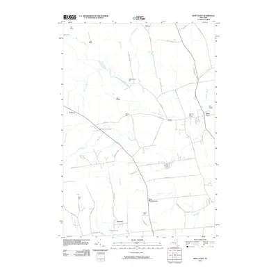
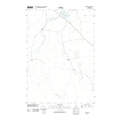
 2010 Mooers2010 Print · USGSCovers Clinton County, including Champlain, Chazy, and other nearby areas
 - 2010 Map of West Chazy, 2010 Print
 2010 West Chazy2010 Print · USGSCovers Clinton County, including Beekmantown, Chazy, and other nearby areas
 - 2010 Map of Champlain, 2010 Print
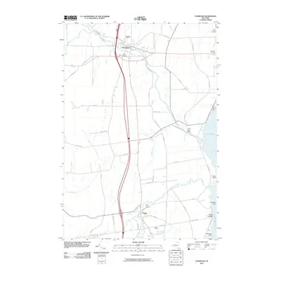 2010 Champlain2010 Print · USGSCovers Clinton County, including Champlain, Chazy, and other nearby areas
 - 2010 Map of Clintonville, 2010 Print
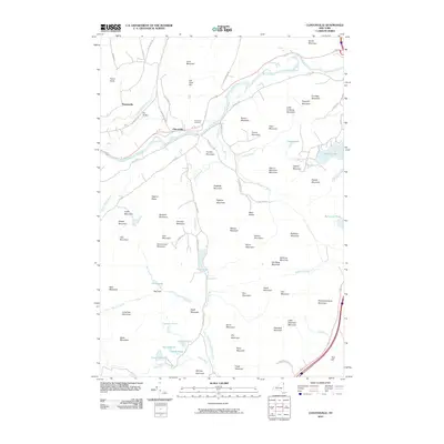 2010 Clintonville2010 Print · USGSCovers Clinton County, including AuSable, Keeseville, and other nearby areas
 - 2010 Map of Redford, 2010 Print
 2010 Redford2010 Print · USGSCovers Clinton County, including Saranac, Black Brook, and other nearby areas
 - 2010 Map of Brainardsville, 2010 Print
 2010 Brainardsville2010 Print · USGSCovers Clinton County, including Ellenburg, Chateaugay, and other nearby areas
 - 2010 Map of Moffitsville, 2010 Print
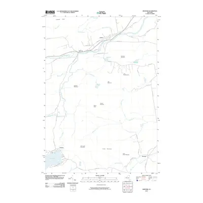
 2010 Moffitsville2010 Print · USGSCovers Clinton County, including Dannemora, Saranac, and other nearby areas
 - 2010 Map of Ellenburg Mountain, 2010 Print
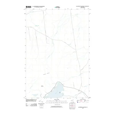 2010 Ellenburg Mountain2010 Print · USGSCovers Clinton County, including Dannemora, Altona, and other nearby areas
 - 2010 Map of Lyon Mountain, 2010 Print
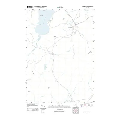 2010 Lyon Mountain2010 Print · USGSCovers Clinton County, including Dannemora, Saranac, and other nearby areas
 - 2010 Map of Ellenburg Depot, 2010 Print
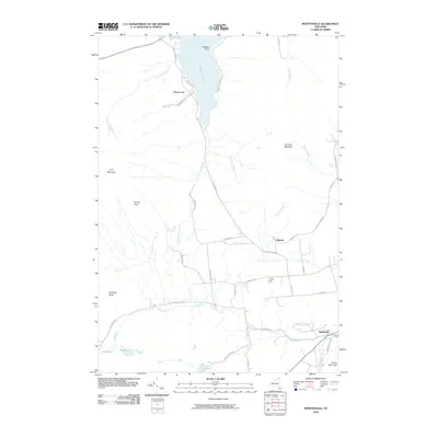
 2010 Ellenburg Depot2010 Print · USGSCovers Clinton County, including Mooers, Altona, and other nearby areas
 - 2010 Map of Churubusco OE N, 2010 Print
 2010 Churubusco OE N2010 Print · USGSCovers Clinton County, including Ormstown, Clinton, and other nearby areas
 - 2010 Map of Altona, 2010 Print
 2010 Altona2010 Print · USGSCovers Clinton County, including Mooers, Altona, and other nearby areas
 - 2010 Map of Jericho, 2010 Print
 2010 Jericho2010 Print · USGSCovers Clinton County, including Beekmantown, Dannemora, and other nearby areas
 - 2010 Map of Wilmington, 2010 Print
 2010 Wilmington2010 Print · USGSCovers Clinton County, including Jay, Black Brook, and other nearby areas
 - 2010 Map of Port Douglass, 2010 Print
 2010 Port Douglass2010 Print · USGSCovers Clinton County, including AuSable, Keeseville, and other nearby areas
 - 2010 Map of Franklin Falls, 2010 Print
 2010 Franklin Falls2010 Print · USGSCovers Clinton County, including Black Brook, Saint Armand, and other nearby areas
 - 2010 Map of Mooers OE N, 2010 Print
 2010 Mooers OE N2010 Print · USGSCovers Clinton County, including Champlain, Mooers, and other nearby areas
 - 2010 Map of Champlain OE N, 2010 Print
 2010 Champlain OE N2010 Print · USGSCovers Clinton County, including Champlain, Lacolle, and other nearby areas
 - 2010 Map of Morrisonville, 2010 Print
 2010 Morrisonville2010 Print · USGSCovers Clinton County, including Plattsburgh, Peru, and other nearby areas
 - 2010 Map of Chateaugay, 2010 Print
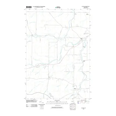
 2010 Chateaugay2010 Print · USGSCovers Clinton County, including Ellenburg, Chateaugay, and other nearby areas
Showing maps 1-25 of 188
Top cities of Clinton County
- Plattsburgh historical maps
- Plattsburgh historical maps
- Peru historical maps
- Champlain historical maps
- Beekmantown historical maps
- Schuyler Falls historical maps
See more
Frequently asked questions
- What are the different types of historical maps available for Clinton County?
- What is the oldest map of Clinton County?
- Where can I purchase historical maps of Clinton County for my home or office?
- Where can I download high-res historical maps of Clinton County?
- Are there historical topographic maps available for Clinton County?
- Is there historical aerial imagery available for Clinton County?
- Where are historical maps of Clinton County sourced from?