Old Maps of Cincinnatus, New York for Academic Research
Study the evolution of Cincinnatus with 36 high-resolution historic maps. Whether you're teaching, researching, or modeling changes in land use, these maps provide essential visual documentation of urban, environmental, and geographic change.
- Analyze long-term change: Track patterns in development, transportation, and natural features.
- Ideal for environmental or urban studies: Support academic projects with primary historical map data.
- Use in the classroom or lab: Educators and researchers rely on these maps to bring historical context to life.
These maps are a powerful tool for teaching, research, and visualizing how Cincinnatus has changed over the decades.
Cincinnatus, NY maps
(36)- 1904 Map of Greene
 1904 Greene1904 Print · USGSThe river valleys of Chenango and Broome counties come alive in this turn-of-the-century survey. You can trace the path of the Delaware Lackawanna and Western RR through Whitney Point or locate the early structures in Greene and Smithville Flats.6 unique versions available
 - 1904 Map of Pitcher
 1904 Pitcher1904 Print · USGSThe rural highlands of Central New York are documented here at the turn of the century, showing a landscape of upland hamlets and river-valley rail lines. Genealogists can trace early homesteads near Pitcher, Cincinnatus, and the remote heights of Taylor Center.5 unique versions available
 - 1943 Map of Cincinnatus, 1960 Print
 1943 Cincinnatus1960 Print · USGSCortland County during the mid-1940s remained a landscape of tight-knit valley settlements and upland district schools. Genealogists can trace family roots through sites like Hawley Cem or follow the path of the Delaware Lackawanna and Western railroad.3 unique versions available
 - 1943 Map of Pitcher, 1970 Print
 1943 Pitcher1970 Print · USGSThe Otselic River valley and the rural uplands of Chenango County are captured here during the early 1940s. Genealogists can locate several family cemeteries, including Hinman Cem, and trace the locations of old schools like School No. 3 and School No. 6.2 unique versions available
 - 1944 Map of Pitcher
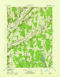 1944 Pitcher1944 Print · USGSMid-century Chenango County remains a landscape of upland farms and valley hamlets connected by a dense network of local schools and family cemeteries. Genealogists can trace rural roots through landmarks like Pink Cem, Pitcher Springs, and German Five Corners.3 unique versions available
 - 1944 Map of Cincinnatus
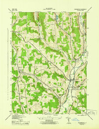 1944 Cincinnatus1944 Print · USGSCortland County dairy country and the Otselic River valley are captured here just as the war era reached its peak. Researchers can trace the Delaware Lackawanna and Western Railroad corridor and locate vanished rural schoolhouses like Mudge Sch and Minard Sch.
 - 1948 Map of Smithville Flats, 1968 Print
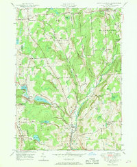 1948 Smithville Flats1968 Print · USGSChenango County's rural heartland is captured here in the late 1940s, showing a landscape defined by creek-side villages and upland farmsteads. Researchers can trace ancestral lines through family-named sites like Knickerbocker Cem, Wilcox Corners, and the historic schoolhouse at Mariams Sch.3 unique versions available
 - 1948 Map of Binghamton, 1980 Print
 1948 Binghamton1980 Print · USGSCentral New York and the Southern Tier thrive in the late 1940s as a hub of rail traffic and mountain industry. Researchers can trace historic transit lines like the Erie Railroad through Binghamton or find old valley settlements near Oneonta and Delhi.
 - 1949 Map of Willet, 1970 Print
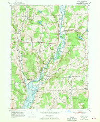 1949 Willet1970 Print · USGSThe Otselic River valley in the late 1940s reveals a landscape of dispersed hamlets and family-named hilltops. Genealogists and historians can trace old community centers like Upper Lisle and Texas Valley or locate local burials at Green Cem.
 - 1950 Map of Binghamton
 1950 Binghamton1950 Print · USGSBinghamton and the surrounding Southern Tier are shown in the mid-century era, highlighting the intricate rail and river networks that drove local industry. Researchers can trace the path of the Erie Railroad and locate landmarks from Otsego Lake to Sidney Mountain.2 unique versions available
 - 1950 Map of Smithville Flats
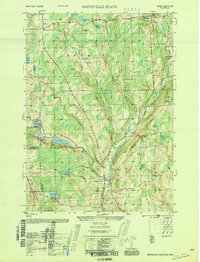 1950 Smithville Flats1950 Print · USGSMid-century Chenango County remains a landscape of dairy farms and small hamlets before modern development altered the rural character. Trace ancestral roots at Westview Cem, locate vanished schoolhouses like School No 1, and explore the banks of Genegantslet Creek.
 - 1951 Map of Willet
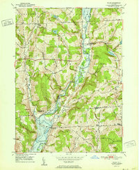 1951 Willet1951 Print · USGSThe Otselic River valley in Cortland and Broome counties comes alive in this mid-century survey. Genealogists and local historians can trace the foundations of Upper Lisle and Texas Valley or locate family plots at Green Cem.
 - 1958 Map of Binghamton
 1958 Binghamton1958 Print · USGSCentral New York in the late fifties was a network of manufacturing cities and river valleys connected by vital rail lines. Genealogists and historians can trace family roots in Oneonta, Norwich, and Cooperstown or locate long-standing farms along Schoharie Creek.
 - 1963 Map of Binghamton
 1963 Binghamton1963 Print · USGSThe Southern Tier and Catskill peaks are shown in the early sixties as new reservoirs reshaped the valleys. Trace historic rail corridors like the Erie Lackawanna RR and explore lakeside settlements such as Cooperstown and Oneonta.
 - 1985 Map of Binghamton, 1986 Print
 1985 Binghamton1986 Print · USGSThe Southern Tier during the mid-1980s shows a landscape of river-valley industry and expanding university campuses. Genealogists and local historians can trace family roots through riverside towns like Bainbridge, Sidney, and the Calvary Cem in the Binghamton area.2 unique versions available
 - 1986 Map of Norwich
 1986 Norwich1986 Print · USGSCentral New York in the mid-eighties was a landscape of deep river valleys and university towns connected by historic rail corridors and state highways. Researchers can trace the rural infrastructure of Norwich and Hamilton, finding landmarks like Colgate University and the Seventh Day Hollow Church.2 unique versions available
 - 2010 Map of Willet, 2010 Print
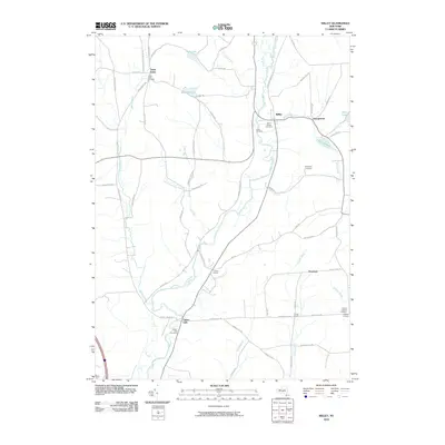 2010 Willet2010 Print · USGSThe Otselic River valley in the early twenty-first century remains a landscape of historic crossroads and riverside hamlets. Genealogists can locate family sites at Upper Lisle, Landers Corners, and the Willet Village Cemetery.
 - 2010 Map of Cincinnatus, 2010 Print
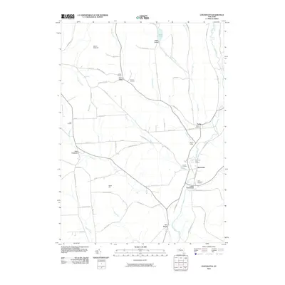 2010 Cincinnatus2010 Print · USGSIn the valley of the Otselic River during the early twenty-first century, this landscape preserves centuries of small-town settlement patterns. Genealogists can trace family roots through numerous burial sites like Taylor Rural Cemetery, Loope Cemetery, and Holmes Cemetery.
 - 2010 Map of Smithville Flats, 2010 Print
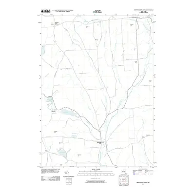 2010 Smithville Flats2010 Print · USGSChenango County's rural character is preserved in this study of the hills and valleys around Smithville Flats in the early twenty-first century. Researchers can locate family sites near German Four Corners, McDonough, and historic burial grounds like Ashcraft Cemetery.
 - 2010 Map of Pitcher, 2010 Print
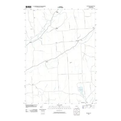 2010 Pitcher2010 Print · USGSUpper Chenango County is captured here in the early twenty-first century, showing a network of rural hamlets and upland farms. Genealogists can trace family names through numerous burial sites like Hinman Cemetery and Soper Cemetery or the roads connecting Pitcher Springs and German Five Corners.
 - 2013 Map of Pitcher, 2013 Print
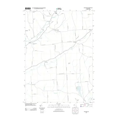 2013 Pitcher2013 Print · USGSUpper Chenango County and eastern Cortland County appear here in the early twenty-first century, centered on the river valleys of the Southern Tier. Genealogists can trace a wealth of burial sites and rural intersections including Brakel Valley Churchyard Cem, North Pitcher, and German Five Corners.
 - 2013 Map of Cincinnatus, 2013 Print
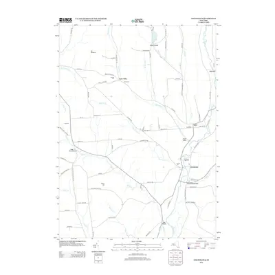 2013 Cincinnatus2013 Print · USGSThe Otselic River valley in the early 2010s remains a landscape of quiet hamlets and deep-rooted family history. Local researchers can pinpoint numerous burial sites and small settlements, from Holland Cem near Taylor Valley to Lower Cincinnatus.
 - 2013 Map of Willet, 2013 Print
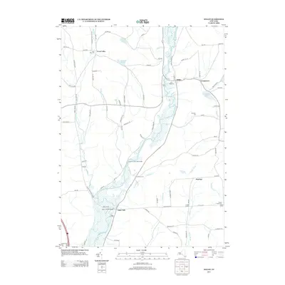 2013 Willet2013 Print · USGSThe Otselic River valley in the early twenty-first century remains a landscape of quiet hamlets and river crossings. Genealogists can trace family lines through the Willet Village Cem or locate the old crossroads at Hazard Corners and Texas Valley.
 - 2013 Map of Smithville Flats, 2013 Print
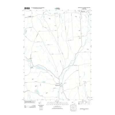 2013 Smithville Flats2013 Print · USGSThe valleys and hilltops of Chenango County are captured here in the early twenty-first century, centered on the historic crossroads at Smithville Flats. Researchers can trace local lineage through sites like Knickerbocker Cem or follow the waters of Genegantslet Cr past McDonough and Lakeville.
 - 2016 Map of Pitcher, 2016 Print
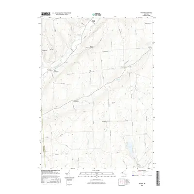 2016 Pitcher2016 Print · USGSThe Otselic River valley and Chenango County uplands are captured here in the mid-2010s, showing a landscape of rural hamlets and family-named ridges. Researchers can locate numerous historic burial grounds including Hinman Cem, Crane Cem, and the Brakel Valley Churchyard Cem.
Showing maps 1-25 of 36
Top cities near Cincinnatus
- Cortlandville historical maps
- Homer historical maps
- Greene historical maps
- Triangle historical maps
- Lisle historical maps
- Barker historical maps
See more
Top neighborhoods of Cincinnatus
Frequently asked questions
- What are the different types of historical maps available for Cincinnatus?
- What is the oldest map of Cincinnatus?
- Where can I purchase historical maps of Cincinnatus for my home or office?
- Where can I download high-res historical maps of Cincinnatus?
- Are there historical topographic maps available for Cincinnatus?
- Is there historical aerial imagery available for Cincinnatus?
- Where are historical maps of Cincinnatus sourced from?