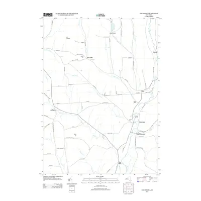
2013 Map of Cincinnatus
USGS Topo · Published 2013About this map
Otselic River valley settlements define this portion of Cortland County, where the village of Cincinnatus serves as a central hub. The landscape is characterized by a network of rural roads connecting small hamlets like Taylor Center and East Freetown, tracing the path of numerous watercourses including Mead Brook and Cheningo Cr. For genealogists, the map is particularly detailed in its placement of family-named landmarks and local burial grounds, such as Holland Cem and Holmes Cem.
Find a feature on this map
81 named features on this map. Tap any name to fly to it.
Don’t see what you’re looking for? This feature index may not catch every label — zoom into the map to look around manually.
Map Details
Editions of this 2013 Cincinnatus Map
This is the sole edition of this map. No revisions or reprints were ever made.
Other maps of this area

1903 · Cortland
USGS Topo · 1:62,500

1903 · Harford
USGS Topo · 1:62,500

1904 · Greene
USGS Topo · 1:62,500

1904 · Pitcher
USGS Topo · 1:62,500

1906 · Catatonk
USGS Topo · 1:125,000

1943 · South Ostelic
USGS Topo · 1:24,000

1943 · Cincinnatus
USGS Topo · 1:24,000

1943 · Cuyler
USGS Topo · 1:24,000

1943 · Pitcher
USGS Topo · 1:24,000
1944 · Cuyler
USGS Topo · 1:31,680