2000s (21st Century) Maps of Cincinnatus, New York
Explore 20 historic maps of Cincinnatus from the 2000s (21st Century). These maps offer a rare glimpse into what life looked like during the 2000s — showing old roads, neighborhoods, homes, and landmarks that have changed or disappeared over time.
Whether you're researching your family's past, planning a metal detecting trip, or studying how Cincinnatus's landscape evolved across the 2000s, these high-resolution maps are a powerful tool for exploring the history of this region.
- Focus on a specific era: All maps on this page are from the 2000s, giving you a focused view of this time period.
- See what’s changed: Compare century-old streets, trails, and buildings to today's modern landscape using overlays and satellite layers.
- Research with precision: Use these maps for genealogy, historical research, land use analysis, or educational projects.
- View, download, or print: Maps are fully viewable online in high resolution, and can be downloaded or printed for your own records.
Start exploring Cincinnatus's history through authentic maps from the 2000s. This is your window into the past.
Cincinnatus, NY maps
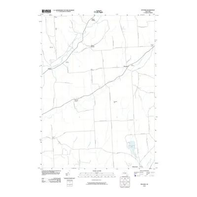
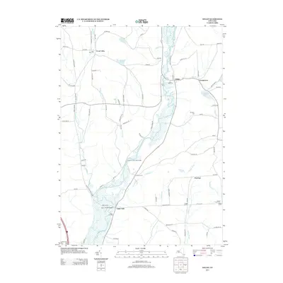
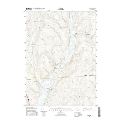
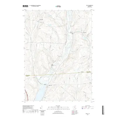
(20)- 2010 Map of Willet, 2010 Print
 2010 Willet2010 Print · USGSCovers Cincinnatus, including Triangle, Lisle, and other nearby areas
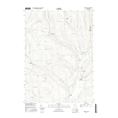
 - 2010 Map of Cincinnatus, 2010 Print
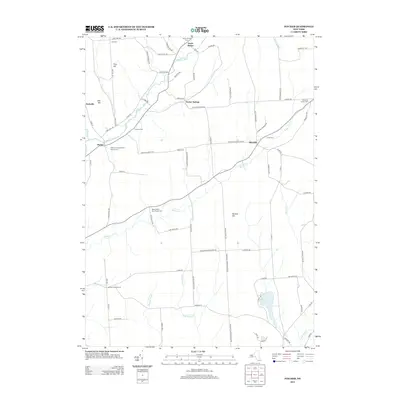
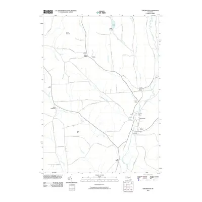 2010 Cincinnatus2010 Print · USGSCovers Cincinnatus, including Solon, Freetown, and other nearby areas
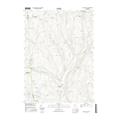
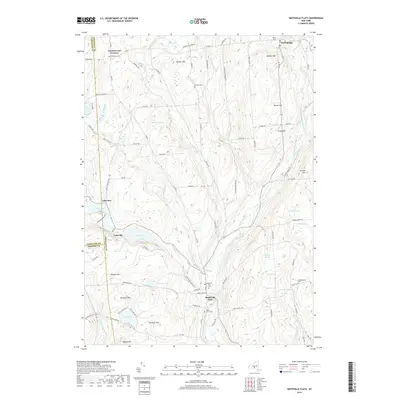
 - 2010 Map of Smithville Flats, 2010 Print
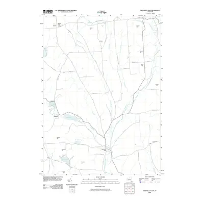 2010 Smithville Flats2010 Print · USGSCovers Cincinnatus, including Greene, Triangle, and other nearby areas
 - 2010 Map of Pitcher, 2010 Print
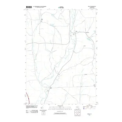
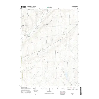
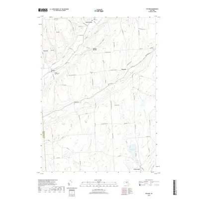
 2010 Pitcher2010 Print · USGSCovers Cincinnatus, including McDonough, Pitcher, and other nearby areas
 - 2013 Map of Pitcher, 2013 Print
 2013 Pitcher2013 Print · USGSCovers Cincinnatus, including McDonough, Pitcher, and other nearby areas
 - 2013 Map of Cincinnatus, 2013 Print
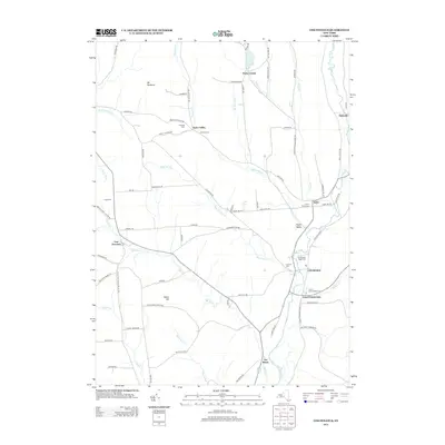 2013 Cincinnatus2013 Print · USGSCovers Cincinnatus, including Solon, Freetown, and other nearby areas
 - 2013 Map of Willet, 2013 Print
 2013 Willet2013 Print · USGSCovers Cincinnatus, including Triangle, Lisle, and other nearby areas
 - 2013 Map of Smithville Flats, 2013 Print
 2013 Smithville Flats2013 Print · USGSCovers Cincinnatus, including Greene, Triangle, and other nearby areas
 - 2016 Map of Pitcher, 2016 Print
 2016 Pitcher2016 Print · USGSCovers Cincinnatus, including McDonough, Pitcher, and other nearby areas
 - 2016 Map of Willet, 2016 Print
 2016 Willet2016 Print · USGSCovers Cincinnatus, including Triangle, Lisle, and other nearby areas
 - 2016 Map of Cincinnatus, 2016 Print
 2016 Cincinnatus2016 Print · USGSCovers Cincinnatus, including Solon, Freetown, and other nearby areas
 - 2016 Map of Smithville Flats, 2016 Print
 2016 Smithville Flats2016 Print · USGSCovers Cincinnatus, including Greene, Triangle, and other nearby areas
 - 2019 Map of Willet, 2019 Print
 2019 Willet2019 Print · USGSCovers Cincinnatus, including Triangle, Lisle, and other nearby areas
 - 2019 Map of Cincinnatus, 2019 Print
 2019 Cincinnatus2019 Print · USGSCovers Cincinnatus, including Solon, Freetown, and other nearby areas
 - 2019 Map of Smithville Flats, 2019 Print
 2019 Smithville Flats2019 Print · USGSCovers Cincinnatus, including Greene, Triangle, and other nearby areas
 - 2019 Map of Pitcher, 2019 Print
 2019 Pitcher2019 Print · USGSCovers Cincinnatus, including McDonough, Pitcher, and other nearby areas
 - 2023 Map of Cincinnatus, 2023 Print
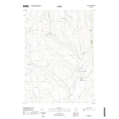
 2023 Cincinnatus2023 Print · USGSThe Otselic River valley in central New York is home to several historic hamlets and upland ridges. Genealogists can trace family roots at Holland Cem or Cincinnatus Cem, while hikers can follow the North Country National Scenic Trail through the heights of Mount Roderick.
 - 2023 Map of Pitcher, 2023 Print
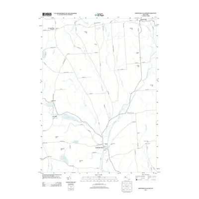
 2023 Pitcher2023 Print · USGSChenango County highland life continues to center on the valleys of the Otselic River and Brakel Creek. Genealogists can trace early families at sites like Pink Cem, Hinman Cem, and the Brakel Valley Churchyard Cem.
 - 2023 Map of Willet, 2023 Print
 2023 Willet2023 Print · USGSCortland and Broome counties appear in this contemporary survey of New York's Southern Tier, where the Otselic River valley shapes the local landscape. Researchers can locate numerous family burial grounds like Beardsley Cem and trace settlements from Texas Valley to Upper Lisle.
 - 2023 Map of Smithville Flats, 2023 Print
 2023 Smithville Flats2023 Print · USGSThe rural uplands of Chenango County are captured here in recent years, centered on the historic village of Smithville Flats. Genealogists can trace family names through local landmarks like Knickerbocker Cem or the summits of Bolster Hill and Meeker Hill.
End of results
Showing maps 1-20 of 20
Top cities near Cincinnatus
- Cortlandville historical maps
- Homer historical maps
- Greene historical maps
- Triangle historical maps
- Lisle historical maps
- Barker historical maps
See more
Top neighborhoods of Cincinnatus
Frequently asked questions
- What are the different types of historical maps available for Cincinnatus?
- What is the oldest map of Cincinnatus?
- Where can I purchase historical maps of Cincinnatus for my home or office?
- Where can I download high-res historical maps of Cincinnatus?
- Are there historical topographic maps available for Cincinnatus?
- Is there historical aerial imagery available for Cincinnatus?
- Where are historical maps of Cincinnatus sourced from?