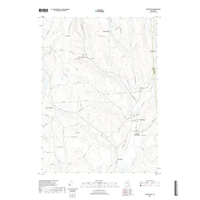
2019 Map of Cincinnatus
USGS Topo · Published 2019About this map
The Otselic River valley forms the central corridor of this Cortland County landscape, where the village of Cincinnatus and the nearby settlement of Lower Cincinnatus serve as focal points for the surrounding rural highlands. These hills are punctuated by significant elevations like Mt Roderick and Dutch Hill, with the N Country National Scenic Trail winding through the western ridges near Taylor Valley.
Find a feature on this map
78 named features on this map. Tap any name to fly to it.
Don’t see what you’re looking for? This feature index may not catch every label — zoom into the map to look around manually.
Map Details
Editions of this 2019 Cincinnatus Map
This is the sole edition of this map. No revisions or reprints were ever made.
Other maps of this area

1903 · Cortland
USGS Topo · 1:62,500

1903 · Harford
USGS Topo · 1:62,500

1904 · Greene
USGS Topo · 1:62,500

1904 · Pitcher
USGS Topo · 1:62,500

1906 · Catatonk
USGS Topo · 1:125,000

1943 · South Ostelic
USGS Topo · 1:24,000

1943 · Cincinnatus
USGS Topo · 1:24,000

1943 · Cuyler
USGS Topo · 1:24,000

1943 · Pitcher
USGS Topo · 1:24,000
1944 · Cuyler
USGS Topo · 1:31,680