2000s (21st Century) Maps of Deposit, New York
Explore 25 historic maps of Deposit from the 2000s (21st Century). These maps offer a rare glimpse into what life looked like during the 2000s — showing old roads, neighborhoods, homes, and landmarks that have changed or disappeared over time.
Whether you're researching your family's past, planning a metal detecting trip, or studying how Deposit's landscape evolved across the 2000s, these high-resolution maps are a powerful tool for exploring the history of this region.
- Focus on a specific era: All maps on this page are from the 2000s, giving you a focused view of this time period.
- See what’s changed: Compare century-old streets, trails, and buildings to today's modern landscape using overlays and satellite layers.
- Research with precision: Use these maps for genealogy, historical research, land use analysis, or educational projects.
- View, download, or print: Maps are fully viewable online in high resolution, and can be downloaded or printed for your own records.
Start exploring Deposit's history through authentic maps from the 2000s. This is your window into the past.
Deposit, NY maps
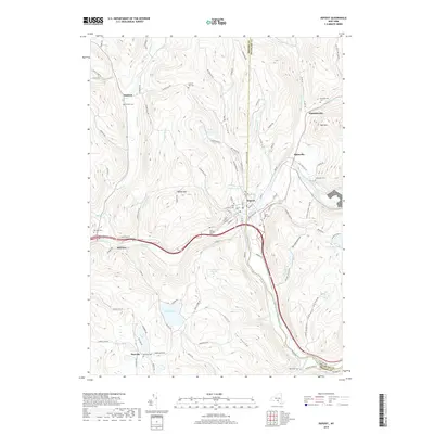
(25)- 2010 Map of North Sanford, 2010 Print
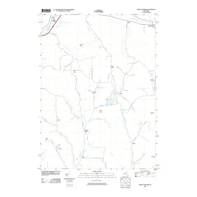 2010 North Sanford2010 Print · USGSCovers Deposit, including Bainbridge, Afton, and other nearby areas
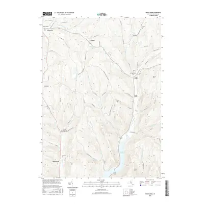
 - 2010 Map of Trout Creek, 2010 Print
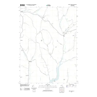 2010 Trout Creek2010 Print · USGSCovers Deposit, including Tompkins, Masonville, and other nearby areas
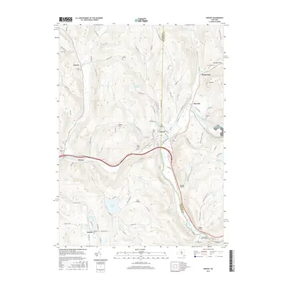
 - 2010 Map of Deposit, 2010 Print
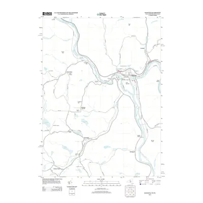
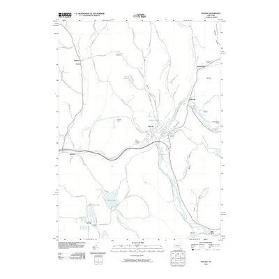 2010 Deposit2010 Print · USGSCovers Deposit, including Sanford, Stilesville, and other nearby areas
 - 2010 Map of Cannonsville Reservoir, 2010 Print
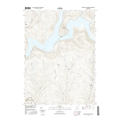
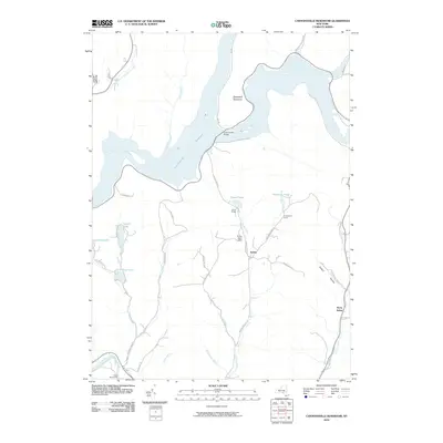 2010 Cannonsville Reservoir2010 Print · USGSCovers Deposit, including Hancock, Sanford, and other nearby areas
 - 2010 Map of Hancock, 2010 Print
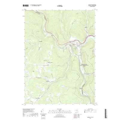
 2010 Hancock2010 Print · USGSCovers Deposit, including Hancock, Sanford, and other nearby areas
 - 2013 Map of North Sanford, 2013 Print
 2013 North Sanford2013 Print · USGSCovers Deposit, including Bainbridge, Afton, and other nearby areas
 - 2013 Map of Deposit, 2013 Print
 2013 Deposit2013 Print · USGSCovers Deposit, including Sanford, Stilesville, and other nearby areas
 - 2013 Map of Cannonsville Reservoir, 2013 Print
 2013 Cannonsville Reservoir2013 Print · USGSCovers Deposit, including Hancock, Sanford, and other nearby areas
 - 2013 Map of Trout Creek, 2013 Print
 2013 Trout Creek2013 Print · USGSCovers Deposit, including Tompkins, Masonville, and other nearby areas
 - 2013 Map of Hancock, 2013 Print
 2013 Hancock2013 Print · USGSCovers Deposit, including Hancock, Sanford, and other nearby areas
 - 2016 Map of Hancock, 2016 Print
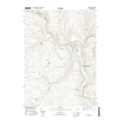 2016 Hancock2016 Print · USGSCovers Deposit, including Hancock, Sanford, and other nearby areas
 - 2016 Map of North Sanford, 2016 Print
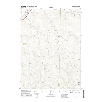 2016 North Sanford2016 Print · USGSCovers Deposit, including Bainbridge, Afton, and other nearby areas
 - 2016 Map of Trout Creek, 2016 Print
 2016 Trout Creek2016 Print · USGSCovers Deposit, including Tompkins, Masonville, and other nearby areas
 - 2016 Map of Deposit, 2016 Print
 2016 Deposit2016 Print · USGSCovers Deposit, including Sanford, Stilesville, and other nearby areas
 - 2016 Map of Cannonsville Reservoir, 2016 Print
 2016 Cannonsville Reservoir2016 Print · USGSCovers Deposit, including Hancock, Sanford, and other nearby areas
 - 2019 Map of Hancock, 2019 Print
 2019 Hancock2019 Print · USGSCovers Deposit, including Hancock, Sanford, and other nearby areas
 - 2019 Map of Trout Creek, 2019 Print
 2019 Trout Creek2019 Print · USGSCovers Deposit, including Tompkins, Masonville, and other nearby areas
 - 2019 Map of Deposit, 2019 Print
 2019 Deposit2019 Print · USGSCovers Deposit, including Sanford, Stilesville, and other nearby areas
 - 2019 Map of Cannonsville Reservoir, 2019 Print
 2019 Cannonsville Reservoir2019 Print · USGSCovers Deposit, including Hancock, Sanford, and other nearby areas
 - 2019 Map of North Sanford, 2019 Print
 2019 North Sanford2019 Print · USGSCovers Deposit, including Bainbridge, Afton, and other nearby areas
 - 2023 Map of North Sanford, 2023 Print
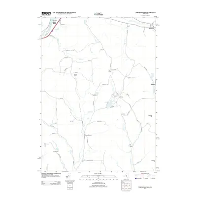
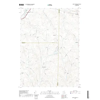
 2023 North Sanford2023 Print · USGSThe borderlands of Delaware, Chenango, and Broome counties are captured here in the 2020s, showing a rugged landscape of upland forests and rural hamlets. Family historians can locate numerous burial grounds like Lord Road Cem and trace the paths of the Finger Lakes Trail.
 - 2023 Map of Hancock, 2023 Print
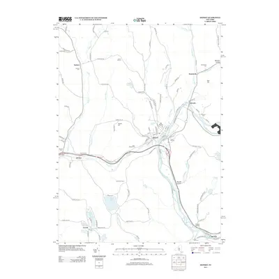
 2023 Hancock2023 Print · USGSThe Upper Delaware River valley thrives as a borderland between New York and Pennsylvania, centered on the historic river town of Hancock. Genealogists and researchers can trace the old O & W Railroad corridor and explore family history at Ball's Eddy Cemetery or Stockport.
 - 2023 Map of Cannonsville Reservoir, 2023 Print
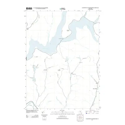
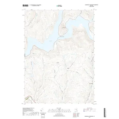
 2023 Cannonsville Reservoir2023 Print · USGSThe western Catskills landscape of Delaware County is shown here in the 2020s, centered on the massive Cannonsville Reservoir and its surrounding peaks. Researchers can trace rural lineages through local landmarks like White Birch Airport and the settlements at Kelsey and Apex.
 - 2023 Map of Trout Creek, 2023 Print
 2023 Trout Creek2023 Print · USGSDelaware County's rural character is on full display in the early twenty-first century, showing the enduring settlement patterns of the Catskill foothills. Researchers can locate family burial sites like Austin Olmsted Cem and Carroll Cem or trace the shoreline of the Cannonsville Reservoir.
 - 2023 Map of Deposit, 2023 Print
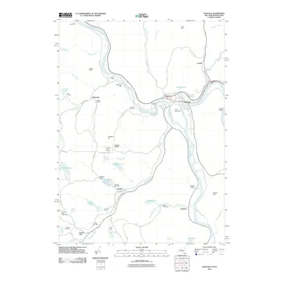
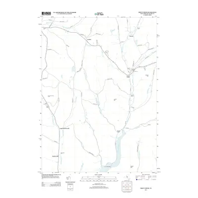
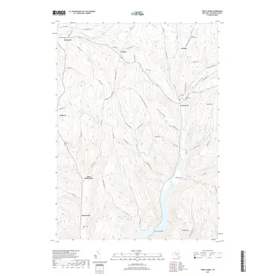
 2023 Deposit2023 Print · USGSThe river valley at the Broome and Delaware county border is shown here in detail, centered on the historic village of Deposit. Genealogists can trace family sites across nearly ten local burial grounds, including McClure Cem, Oakwood Cem, and Danville Cem.
End of results
Showing maps 1-25 of 25
Top cities near Deposit
- Windsor historical maps
- Sidney historical maps
- Walton historical maps
- Colesville historical maps
- Unadilla historical maps
- Sidney historical maps
See more
Top neighborhoods of Deposit
- Hale Eddy historical maps
- Hambletville historical maps
- Barbourville historical maps
- Upper Barbourville historical maps
- Stilesville historical maps
- China historical maps
Frequently asked questions
- What are the different types of historical maps available for Deposit?
- What is the oldest map of Deposit?
- Where can I purchase historical maps of Deposit for my home or office?
- Where can I download high-res historical maps of Deposit?
- Are there historical topographic maps available for Deposit?
- Is there historical aerial imagery available for Deposit?
- Where are historical maps of Deposit sourced from?