Old Maps of Thendara, Webb for Academic Research
Study the evolution of Thendara with 23 high-resolution historic maps. Whether you're teaching, researching, or modeling changes in land use, these maps provide essential visual documentation of urban, environmental, and geographic change.
- Analyze long-term change: Track patterns in development, transportation, and natural features.
- Ideal for environmental or urban studies: Support academic projects with primary historical map data.
- Use in the classroom or lab: Educators and researchers rely on these maps to bring historical context to life.
These maps are a powerful tool for teaching, research, and visualizing how Thendara has changed over the decades.
Thendara, Webb maps
(23)- 1901 Map of Old Forge
 1901 Old Forge1901 Print · USGSIn the Adirondack wilderness at the turn of the century, this area shows a unique network of early camps and water routes. Researchers can trace the Steamboat Route through the Chain Lakes or locate historic outposts like Bishy Lodge and Atwell.10 unique versions available
 - 1912 Map of Mc Keever
 1912 Mc Keever1912 Print · USGSThe southwestern Adirondack wilderness comes into focus in this early twentieth-century survey, showcasing the arrival of the railroad in a landscape of logging camps. Genealogists and researchers can trace the development of Mc Keever and locate family-named sites like Millard's Camp, Porters Corners, and Becks Camp.8 unique versions available
 - 1950 Map of Utica, 1951 Print
 1950 Utica1951 Print · USGSCentral New York in the post-war era showcases the industrial Mohawk Valley and the pristine Adirondack interior. Researchers can trace transportation networks like the New York Central Railroad and find early Cold War sites such as Griffiss Air Force Base.
 - 1954 Map of Old Forge, 1956 Print
 1954 Old Forge1956 Print · USGSThe Adirondack wilderness around Old Forge is shown in the mid-1950s, detailing a landscape of mountain lodges and interior lakes. Genealogists and historians can trace remote outposts like Bisby Lodge, Atwell, and the Riverside Cem along the Fulton Chain Lakes.4 unique versions available
 - 1957 Map of Utica
 1957 Utica1957 Print · USGSCentral New York and the Adirondack foothills are captured here in the mid-fifties, showing a landscape defined by the Mohawk River corridor and the growing highway system. Genealogists and researchers can trace the rail lines of the New York Central and locate communities from Lowville to Gloversville.
 - 1958 Map of Mc Keever, 1960 Print
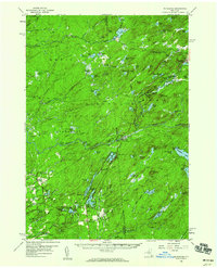 1958 Mc Keever1960 Print · USGSThe Herkimer and Oneida county lines meet in the heart of the Adirondacks during the late fifties, where rail lines and river branches shaped the local economy. Genealogists can locate family-named sites like Hubbards and Porters Corners or trace the New York Central through Minnehaha.4 unique versions available
 - 1962 Map of Utica
 1962 Utica1962 Print · USGSCentral New York and the Adirondack wilderness are captured here during the mid-century era of highway and industrial expansion. Genealogists and historians can trace the development of the New York State Thruway and local rail lines connecting Utica, Rome, and Gloversville.3 unique versions available
 - 1964 Map of Utica
 1964 Utica1964 Print · USGSCentral New York and the high wilderness of the Adirondacks are captured here during the post-war era of infrastructure expansion. Researchers can trace the development of the New York State Thruway alongside historic corridors like the Oneida Lake (Barge Canal Route) and the N. Y. Central railroad.
 - 1967 Map of Utica
 1967 Utica1967 Print · USGSCentral New York's industrial Mohawk Valley meets the Adirondack wilderness in the 1960s, showing the region's transition from manufacturing hubs to state-managed parklands. Trace historic settlements and sites like Griffiss Air Force Base, Colgate University, and the Lyons Falls Paper Mill.
 - 1985 Map of Watertown, 1986 Print
 1985 Watertown1986 Print · USGSThe Black River Valley and the western Adirondacks are captured here in the mid-1980s, from the urban streets of Watertown to the remote Stillwater Reservoir. Researchers can trace the Conrail lines through Carthage or locate family landmarks in Lowville, Boonville, and Old Forge.2 unique versions available
 - 1985 Map of Raquette Lake, 1986 Print
 1985 Raquette Lake1986 Print · USGSThe central Adirondacks are documented here in the mid-1980s, showcasing the complex lake systems and early rail routes that defined the region. Researchers can trace historic landmarks like Sagamore, isolated stops along the Adirondack RR, and the remote layout of Old Forge.2 unique versions available
 - 1989 Map of Thendara
 1989 Thendara1989 Print · USGSThe western Adirondacks in the late 1980s are preserved here in detail, showing a landscape defined by forest and water. Researchers can trace the layout of Thendara, locate the remote Middle Settlement Lake, or study the peaks of Moose River Mountain.2 unique versions available
 - 1989 Map of Old Forge, 1990 Print
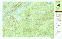 1989 Old Forge1990 Print · USGSThe Adirondack wilderness around Herkimer County is captured here in the late eighties, centered on the historic mountain gateway of Old Forge. Outdoor researchers can trace the intricate trails and waters from Little Moose Lake to the summits of Bald Mtn and McCauley Mtn.
 - 2010 Map of Thendara, 2010 Print
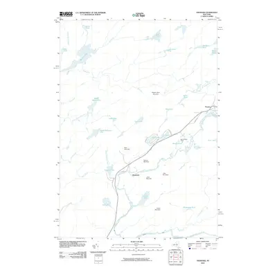 2010 Thendara2010 Print · USGSThe Adirondack wilderness near the turn of the twenty-first century is defined by its intricate waterways and the isolated settlements of Thendara and Minnehaha. Researchers can trace the legacy of seasonal camps and mountain trails near Spruce Ridge Camp and Big Otter Lake.
 - 2010 Map of Old Forge, 2010 Print
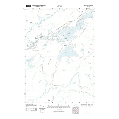 2010 Old Forge2010 Print · USGSThe Adirondack foothills and the upper Moose River watershed are meticulously detailed in the early twenty-first century. Genealogists and historians can trace shoreline developments along the Fulton Chain Lakes and locate the Riverview Cemetery or the historic Mountain Lodge.
 - 2013 Map of Old Forge, 2013 Print
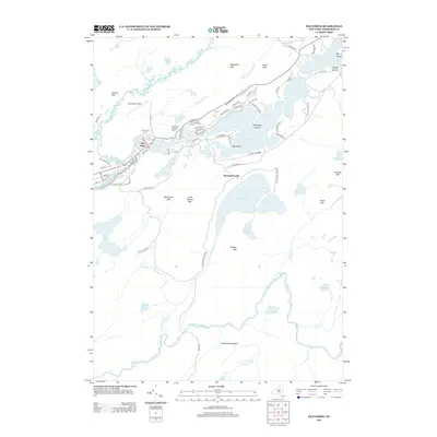 2013 Old Forge2013 Print · USGSThe Adirondack community of Old Forge is shown in the early twenty-first century, centered at the gateway to the Fulton Chain Lakes. Genealogists and historians can locate Riverview Cem, the Town of Webb Sch, and the route of the Adirondack Scenic RR.
 - 2013 Map of Thendara, 2013 Print
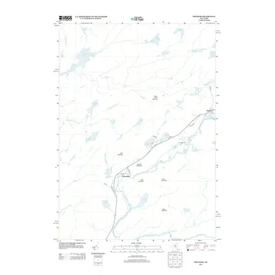 2013 Thendara2013 Print · USGSThe Adirondack wilderness of Herkimer County is captured here in the early twenty-first century, centered on the Middle Br Moose River. You can trace local landmarks from Thendara down to Minnehaha, including remote sites like Spruce Ridge Camp and Big Otter Lake.
 - 2016 Map of Old Forge, 2016 Print
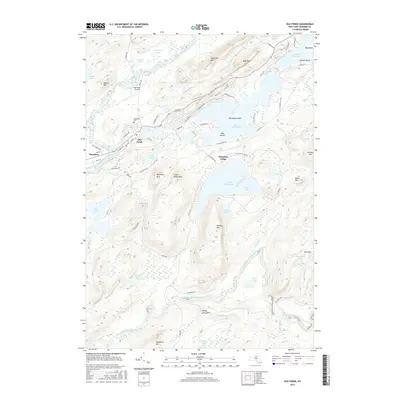 2016 Old Forge2016 Print · USGSThe Adirondack foothills around the turn of the twenty-first century are anchored by the settlements of Old Forge and Thendara. Researchers can trace local lineage and land use through features like the Old Forge Cem, Old Forge Airport, and the camps surrounding Little Moose Lake.
 - 2016 Map of Thendara, 2016 Print
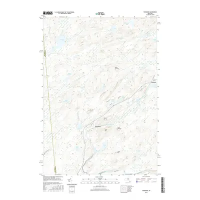 2016 Thendara2016 Print · USGSThe Adirondack wilderness in the mid-2010s is a landscape of high peaks and interconnected waterways centered around the Adirondack Park Preserve. Trace local routes and geography near Thendara and Minnehaha, or locate landmarks like Moose River Mtn and Big Otter Lake.
 - 2019 Map of Old Forge, 2019 Print
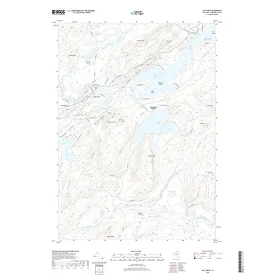 2019 Old Forge2019 Print · USGSThe Adirondack foothills are captured here in recent years, centered on the historic mountain community of Old Forge. Researchers can trace local landmarks like Riverview Cem and McCauley Mtn or explore the water-bound topography of the Fulton Chain Lakes.
 - 2019 Map of Thendara, 2019 Print
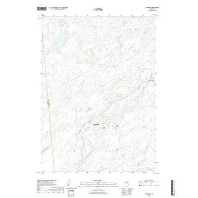 2019 Thendara2019 Print · USGSThe Adirondack wilderness in Herkimer County remains a preserved landscape of rivers and peaks as seen in the late 2010s. Researchers can trace historical routes along Old Rte 28 and identify landmarks from Thendara to the shores of Big Otter Lake.
 - 2023 Map of Thendara, 2023 Print
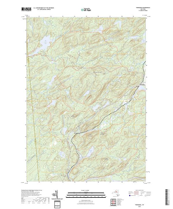 2023 Thendara2023 Print · USGSThe Adirondack wilderness near the Herkimer and Lewis county line comes alive in this 2023 survey of the Moose River country. Trace historic routes and waterway access through settlements like Minnehaha and Thendara, or locate landmarks like Moose River Mountain and the Browns Tract Trl.
 - 2023 Map of Old Forge, 2023 Print
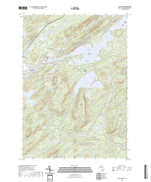 2023 Old Forge2023 Print · USGSThe Central Adirondacks are documented in detail here during the early twenty-first century, centered on the historic gateway of Old Forge. Researchers can trace local landmarks like Riverview Cem, the Old Forge Airport, and the rail-aligned community of Thendara.
End of results
Showing maps 1-23 of 23
Top cities near Thendara
- Boonville historical maps
- Croghan historical maps
- Watson historical maps
- Webb historical maps
- Forestport historical maps
- Greig historical maps
See more
Frequently asked questions
- What are the different types of historical maps available for Thendara?
- What is the oldest map of Thendara?
- Where can I purchase historical maps of Thendara for my home or office?
- Where can I download high-res historical maps of Thendara?
- Are there historical topographic maps available for Thendara?
- Is there historical aerial imagery available for Thendara?
- Where are historical maps of Thendara sourced from?