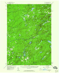
1958 Map of Mc Keever
USGS Topo · Published 1960About this map
Adirondack State Park encompasses a vast portion of this 1958 survey, showing a landscape defined by water and early mid-century recreation. The New York Central railroad provides the primary industrial artery, connecting small settlements like Thendara, Minnehaha, and McKeever along the Middle Branch Moose River. This corridor reflects a period when rail access still supported seasonal camps and logging interests before the dominance of modern highways.
Find a feature on this map
114 named features on this map. Tap any name to fly to it.
Don’t see what you’re looking for? This feature index may not catch every label — zoom into the map to look around manually.
Map Details
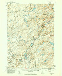
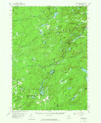
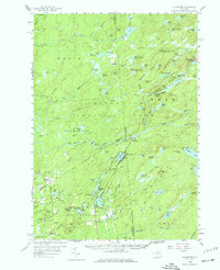
Editions of this 1958 Mc Keever Map
4 editions found
Other maps of this area

1897 · Remsen
USGS Topo · 1:62,500

1900 · Remsen
USGS Topo · 1:62,500

1900 · Wilmurt
USGS Topo · 1:62,500

1901 · Old Forge
USGS Topo · 1:62,500

1902 · Wilmurt
USGS Topo · 1:62,500

1903 · Big Moose
USGS Topo · 1:62,500

1904 · Boonville
USGS Topo · 1:62,500

1905 · Port Leyden
USGS Topo · 1:62,500

1907 · Port Leyden
USGS Topo · 1:62,500

1911 · Lowville
USGS Topo · 1:62,500