2000s (21st Century) Maps of Pittstown, New York
Explore 20 historic maps of Pittstown from the 2000s (21st Century). These maps offer a rare glimpse into what life looked like during the 2000s — showing old roads, neighborhoods, homes, and landmarks that have changed or disappeared over time.
Whether you're researching your family's past, planning a metal detecting trip, or studying how Pittstown's landscape evolved across the 2000s, these high-resolution maps are a powerful tool for exploring the history of this region.
- Focus on a specific era: All maps on this page are from the 2000s, giving you a focused view of this time period.
- See what’s changed: Compare century-old streets, trails, and buildings to today's modern landscape using overlays and satellite layers.
- Research with precision: Use these maps for genealogy, historical research, land use analysis, or educational projects.
- View, download, or print: Maps are fully viewable online in high resolution, and can be downloaded or printed for your own records.
Start exploring Pittstown's history through authentic maps from the 2000s. This is your window into the past.
Pittstown, NY maps
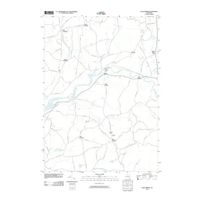
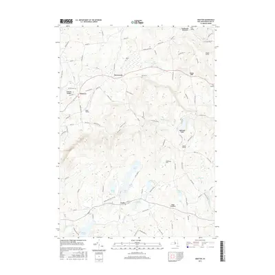
(20)- 2010 Map of Schaghticoke, 2010 Print
 2010 Schaghticoke2010 Print · USGSCovers Pittstown, including Stillwater, Schaghticoke, and other nearby areas
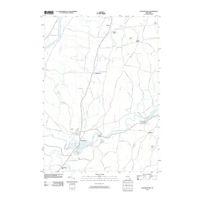
 - 2010 Map of Eagle Bridge, 2010 Print
 2010 Eagle Bridge2010 Print · USGSCovers Pittstown, including Schaghticoke, Hoosick, and other nearby areas
 - 2010 Map of Grafton, 2010 Print
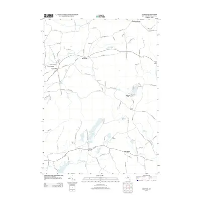
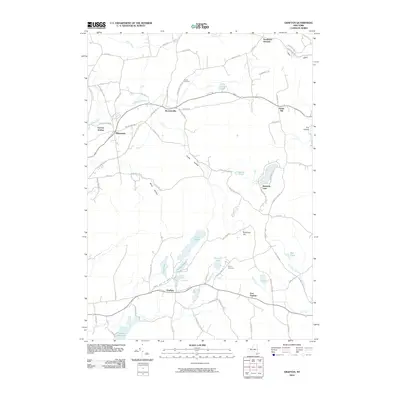 2010 Grafton2010 Print · USGSCovers Pittstown, including Hoosick, Grafton, and other nearby areas
 - 2010 Map of Tomhannock, 2010 Print
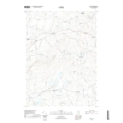
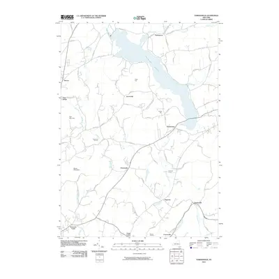 2010 Tomhannock2010 Print · USGSCovers Pittstown, including Brunswick, Schaghticoke, and other nearby areas
 - 2013 Map of Grafton, 2013 Print
 2013 Grafton2013 Print · USGSCovers Pittstown, including Hoosick, Grafton, and other nearby areas
 - 2013 Map of Eagle Bridge, 2013 Print
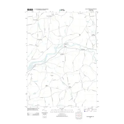 2013 Eagle Bridge2013 Print · USGSCovers Pittstown, including Schaghticoke, Hoosick, and other nearby areas
 - 2013 Map of Schaghticoke, 2013 Print
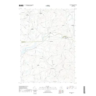
 2013 Schaghticoke2013 Print · USGSCovers Pittstown, including Stillwater, Schaghticoke, and other nearby areas
 - 2013 Map of Tomhannock, 2013 Print
 2013 Tomhannock2013 Print · USGSCovers Pittstown, including Brunswick, Schaghticoke, and other nearby areas
 - 2016 Map of Grafton, 2016 Print
 2016 Grafton2016 Print · USGSCovers Pittstown, including Hoosick, Grafton, and other nearby areas
 - 2016 Map of Tomhannock, 2016 Print
 2016 Tomhannock2016 Print · USGSCovers Pittstown, including Brunswick, Schaghticoke, and other nearby areas
 - 2016 Map of Schaghticoke, 2016 Print
 2016 Schaghticoke2016 Print · USGSCovers Pittstown, including Stillwater, Schaghticoke, and other nearby areas
 - 2016 Map of Eagle Bridge, 2016 Print
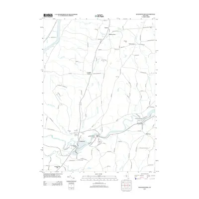
 2016 Eagle Bridge2016 Print · USGSCovers Pittstown, including Schaghticoke, Hoosick, and other nearby areas
 - 2019 Map of Grafton, 2019 Print
 2019 Grafton2019 Print · USGSCovers Pittstown, including Hoosick, Grafton, and other nearby areas
 - 2019 Map of Eagle Bridge, 2019 Print
 2019 Eagle Bridge2019 Print · USGSCovers Pittstown, including Schaghticoke, Hoosick, and other nearby areas
 - 2019 Map of Tomhannock, 2019 Print
 2019 Tomhannock2019 Print · USGSCovers Pittstown, including Brunswick, Schaghticoke, and other nearby areas
 - 2019 Map of Schaghticoke, 2019 Print
 2019 Schaghticoke2019 Print · USGSCovers Pittstown, including Stillwater, Schaghticoke, and other nearby areas
 - 2023 Map of Schaghticoke, 2023 Print
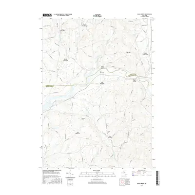
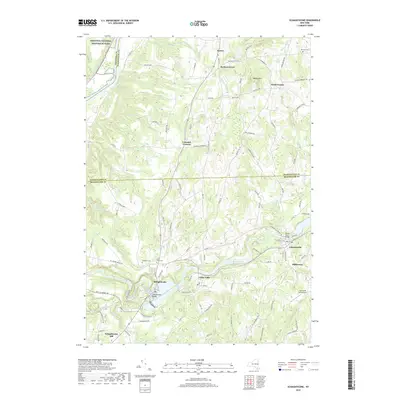
 2023 Schaghticoke2023 Print · USGSThe Hoosic River valley and the tri-county borders of Rensselaer, Washington, and Saratoga are captured in this modern survey. Researchers can trace the Old Champlain Canal or locate family plots at Saint Johns Cem and Brownell Cem.
 - 2023 Map of Grafton, 2023 Print
 2023 Grafton2023 Print · USGSRensselaer County’s upland pond and forest country is detailed here, showing the region as it appeared in the early 2020s. Researchers can trace the layout of Grafton Lakes State Park or locate family sites near Warren Cem and Pittstown.
 - 2023 Map of Eagle Bridge, 2023 Print
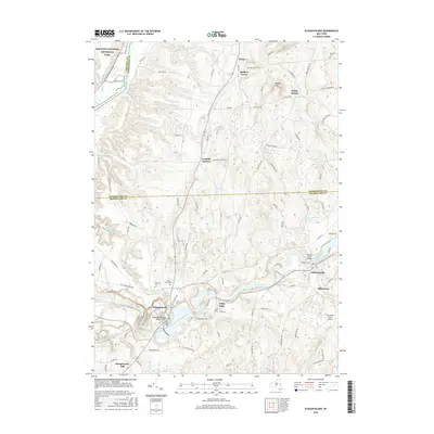
 2023 Eagle Bridge2023 Print · USGSRensselaer and Washington counties meet along the Hoosic River in the early twenty-first century, showing a landscape shaped by water and hills. Trace family roots and old land ties near Eagle Bridge, Buskirk, and the West Hoosick Rural Cem.
 - 2023 Map of Tomhannock, 2023 Print
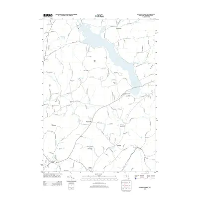
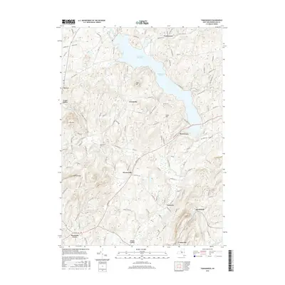
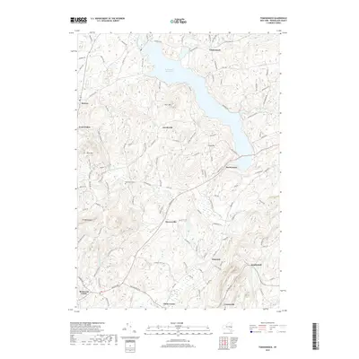
 2023 Tomhannock2023 Print · USGSNorthern Rensselaer County is shown here as it appears today, centered on the massive Tomhannock Reservoir. Researchers can trace the local landscape around Raymertown and find historic sites like Maplewood Cem.
End of results
Showing maps 1-20 of 20
Top cities near Pittstown
- Albany historical maps
- Colonie historical maps
- Troy historical maps
- Saratoga Springs historical maps
- Halfmoon historical maps
- Cohoes historical maps
See more
Top neighborhoods of Pittstown
- Lincolnville historical maps
- Raymertown historical maps
- Tomhannock historical maps
- Factory Hollow historical maps
- Johnsonville historical maps
- Millertown historical maps
See more
Frequently asked questions
- What are the different types of historical maps available for Pittstown?
- What is the oldest map of Pittstown?
- Where can I purchase historical maps of Pittstown for my home or office?
- Where can I download high-res historical maps of Pittstown?
- Are there historical topographic maps available for Pittstown?
- Is there historical aerial imagery available for Pittstown?
- Where are historical maps of Pittstown sourced from?