2000s (21st Century) Maps of Fallsburg, New York
Explore 25 historic maps of Fallsburg from the 2000s (21st Century). These maps offer a rare glimpse into what life looked like during the 2000s — showing old roads, neighborhoods, homes, and landmarks that have changed or disappeared over time.
Whether you're researching your family's past, planning a metal detecting trip, or studying how Fallsburg's landscape evolved across the 2000s, these high-resolution maps are a powerful tool for exploring the history of this region.
- Focus on a specific era: All maps on this page are from the 2000s, giving you a focused view of this time period.
- See what’s changed: Compare century-old streets, trails, and buildings to today's modern landscape using overlays and satellite layers.
- Research with precision: Use these maps for genealogy, historical research, land use analysis, or educational projects.
- View, download, or print: Maps are fully viewable online in high resolution, and can be downloaded or printed for your own records.
Start exploring Fallsburg's history through authentic maps from the 2000s. This is your window into the past.
Fallsburg, NY maps
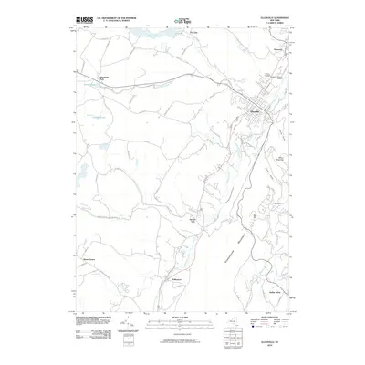
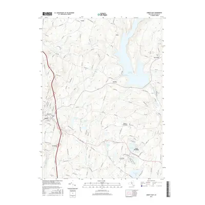
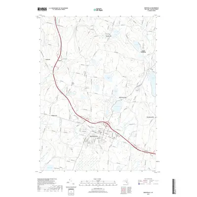
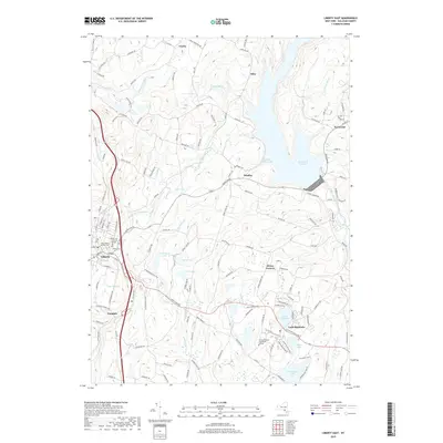
(25)- 2010 Map of Liberty East, 2010 Print
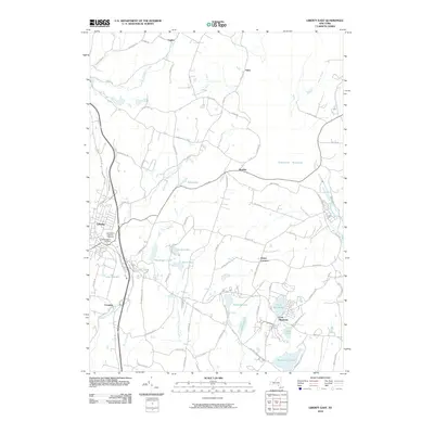 2010 Liberty East2010 Print · USGSCovers Fallsburg, including Liberty, Liberty, and other nearby areas
 - 2010 Map of Grahamsville, 2010 Print
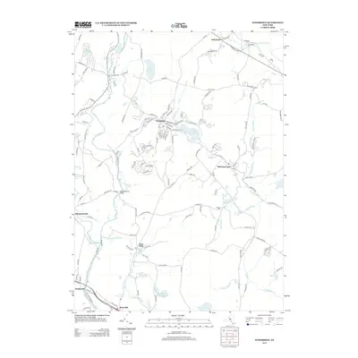
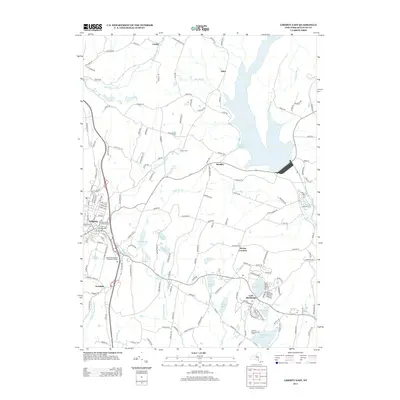
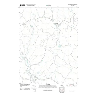 2010 Grahamsville2010 Print · USGSCovers Fallsburg, including Wawarsing, Neversink, and other nearby areas
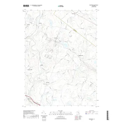
 - 2010 Map of Woodridge, 2010 Print
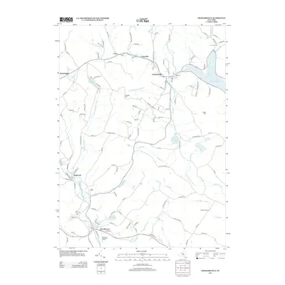
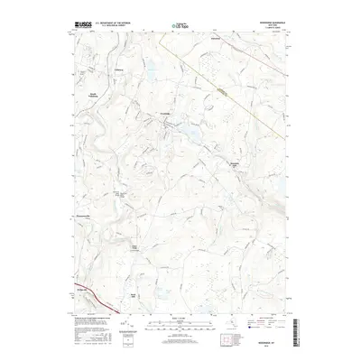
 2010 Woodridge2010 Print · USGSCovers Fallsburg, including Thompson, Wawarsing, and other nearby areas
 - 2010 Map of Monticello, 2010 Print
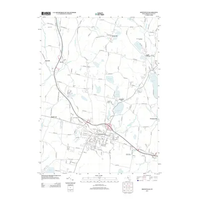
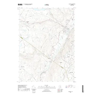
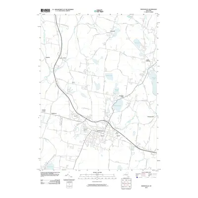 2010 Monticello2010 Print · USGSCovers Fallsburg, including Thompson, Liberty, and other nearby areas
 - 2010 Map of Ellenville, 2010 Print
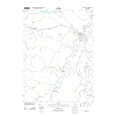
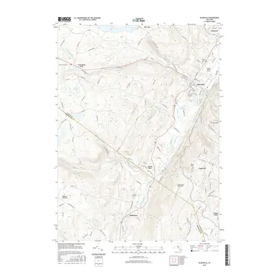
 2010 Ellenville2010 Print · USGSCovers Fallsburg, including Shawangunk, Wawarsing, and other nearby areas
 - 2013 Map of Monticello, 2013 Print
 2013 Monticello2013 Print · USGSCovers Fallsburg, including Thompson, Liberty, and other nearby areas
 - 2013 Map of Woodridge, 2013 Print
 2013 Woodridge2013 Print · USGSCovers Fallsburg, including Thompson, Wawarsing, and other nearby areas
 - 2013 Map of Ellenville, 2013 Print
 2013 Ellenville2013 Print · USGSCovers Fallsburg, including Shawangunk, Wawarsing, and other nearby areas
 - 2013 Map of Liberty East, 2013 Print
 2013 Liberty East2013 Print · USGSCovers Fallsburg, including Liberty, Liberty, and other nearby areas
 - 2013 Map of Grahamsville, 2013 Print
 2013 Grahamsville2013 Print · USGSCovers Fallsburg, including Wawarsing, Neversink, and other nearby areas
 - 2016 Map of Ellenville, 2016 Print
 2016 Ellenville2016 Print · USGSCovers Fallsburg, including Shawangunk, Wawarsing, and other nearby areas
 - 2016 Map of Woodridge, 2016 Print
 2016 Woodridge2016 Print · USGSCovers Fallsburg, including Thompson, Wawarsing, and other nearby areas
 - 2016 Map of Grahamsville, 2016 Print
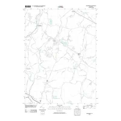
 2016 Grahamsville2016 Print · USGSCovers Fallsburg, including Wawarsing, Neversink, and other nearby areas
 - 2016 Map of Monticello, 2016 Print
 2016 Monticello2016 Print · USGSCovers Fallsburg, including Thompson, Liberty, and other nearby areas
 - 2016 Map of Liberty East, 2016 Print
 2016 Liberty East2016 Print · USGSCovers Fallsburg, including Liberty, Liberty, and other nearby areas
 - 2019 Map of Grahamsville, 2019 Print
 2019 Grahamsville2019 Print · USGSCovers Fallsburg, including Wawarsing, Neversink, and other nearby areas
 - 2019 Map of Ellenville, 2019 Print
 2019 Ellenville2019 Print · USGSCovers Fallsburg, including Shawangunk, Wawarsing, and other nearby areas
 - 2019 Map of Monticello, 2019 Print
 2019 Monticello2019 Print · USGSCovers Fallsburg, including Thompson, Liberty, and other nearby areas
 - 2019 Map of Woodridge, 2019 Print
 2019 Woodridge2019 Print · USGSCovers Fallsburg, including Thompson, Wawarsing, and other nearby areas
 - 2019 Map of Liberty East, 2019 Print
 2019 Liberty East2019 Print · USGSCovers Fallsburg, including Liberty, Liberty, and other nearby areas
 - 2023 Map of Ellenville, 2023 Print
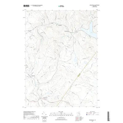
 2023 Ellenville2023 Print · USGSThe Ellenville valley in Ulster County is captured here in the 2020s, showing the intersection of mountain geography and historic transport corridors. Genealogists can trace family sites near Fantinekill Cem or explore the route of the Delaware and Hudson Canal near Spring Glen.
 - 2023 Map of Grahamsville, 2023 Print
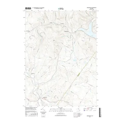
 2023 Grahamsville2023 Print · USGSThe Catskill foothills in the early twenty-first century reveal a landscape of deep valleys and vital water infrastructure. Genealogists and local historians can trace family locations near Grahamsville Rural Cem, the shores of Rondout Reservoir, and the quiet hamlet of Hasbrouck.
 - 2023 Map of Woodridge, 2023 Print
 2023 Woodridge2023 Print · USGSThe Sullivan County highlands come into focus in this contemporary survey of the Neversink River valley and its historic hamlets. Local researchers can trace family landmarks and community sites like Hillside Cem, Yeshiva Gedolah Zichron Moshe, and Silver Lake.
 - 2023 Map of Monticello, 2023 Print
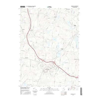
 2023 Monticello2023 Print · USGSSullivan County in the 2020s remains a landscape of historic hamlets and prominent lakeside retreats. Researchers can trace the civic heart of Monticello at the Sullivan County Courthouse or locate family sites at Brookside Cem and Saint Peters Cem.
 - 2023 Map of Liberty East, 2023 Print
 2023 Liberty East2023 Print · USGSSullivan County comes into focus as a mid-century hub for tourism and education. Genealogists and historians can trace the grounds of Liberty Cem, explore the shores of Loch Sheldrake, and locate the early layout of SUNY Sullivan County Community College.
End of results
Showing maps 1-25 of 25
Top cities near Fallsburg
- Wallkill historical maps
- Thompson historical maps
- Shawangunk historical maps
- Wawarsing historical maps
- Mamakating historical maps
- Liberty historical maps
See more
Top neighborhoods of Fallsburg
- Hasbrouck historical maps
- Glen Wild historical maps
- Divine Corners historical maps
- South Fallsburg historical maps
- Fallsburg historical maps
- Loch Sheldrake historical maps
See more
Frequently asked questions
- What are the different types of historical maps available for Fallsburg?
- What is the oldest map of Fallsburg?
- Where can I purchase historical maps of Fallsburg for my home or office?
- Where can I download high-res historical maps of Fallsburg?
- Are there historical topographic maps available for Fallsburg?
- Is there historical aerial imagery available for Fallsburg?
- Where are historical maps of Fallsburg sourced from?