2000s (21st Century) Maps of Thompson, New York
Explore 30 historic maps of Thompson from the 2000s (21st Century). These maps offer a rare glimpse into what life looked like during the 2000s — showing old roads, neighborhoods, homes, and landmarks that have changed or disappeared over time.
Whether you're researching your family's past, planning a metal detecting trip, or studying how Thompson's landscape evolved across the 2000s, these high-resolution maps are a powerful tool for exploring the history of this region.
- Focus on a specific era: All maps on this page are from the 2000s, giving you a focused view of this time period.
- See what’s changed: Compare century-old streets, trails, and buildings to today's modern landscape using overlays and satellite layers.
- Research with precision: Use these maps for genealogy, historical research, land use analysis, or educational projects.
- View, download, or print: Maps are fully viewable online in high resolution, and can be downloaded or printed for your own records.
Start exploring Thompson's history through authentic maps from the 2000s. This is your window into the past.
Thompson, NY maps
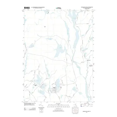
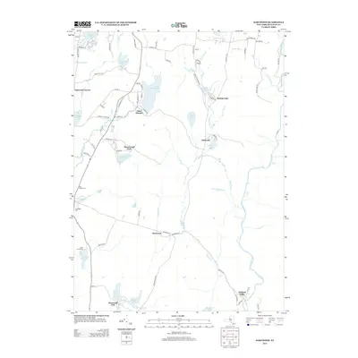
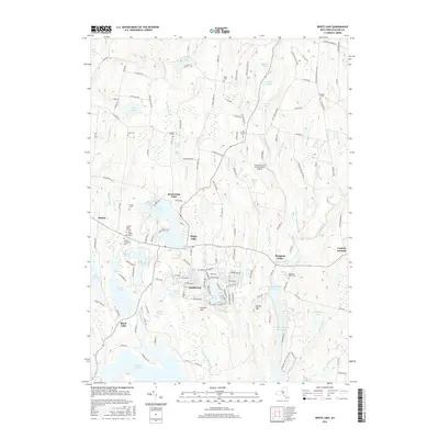
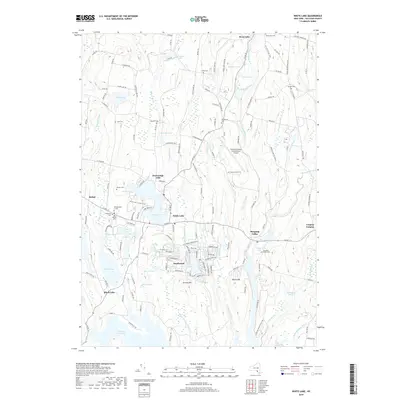
(30)- 2010 Map of White Lake, 2010 Print
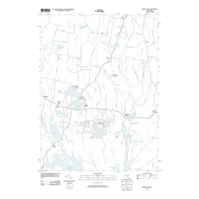 2010 White Lake2010 Print · USGSCovers Thompson, including Liberty, Bethel, and other nearby areas
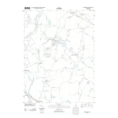
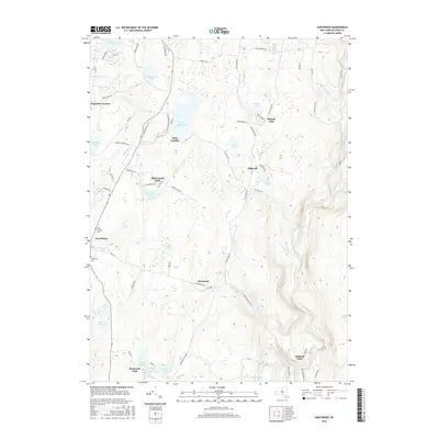
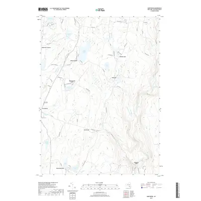
 - 2010 Map of Hartwood, 2010 Print
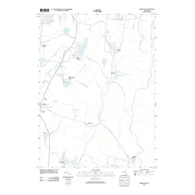 2010 Hartwood2010 Print · USGSCovers Thompson, including Rock Hill, Forestburgh, and other nearby areas
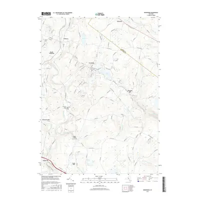
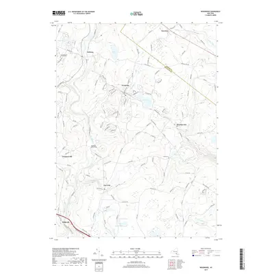
 - 2010 Map of Woodridge, 2010 Print
 2010 Woodridge2010 Print · USGSCovers Thompson, including Fallsburg, Wawarsing, and other nearby areas
 - 2010 Map of Highland Lake, 2010 Print
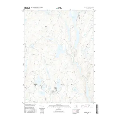
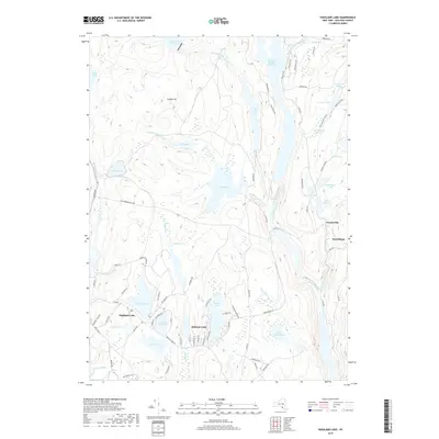
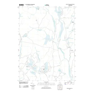 2010 Highland Lake2010 Print · USGSCovers Thompson, including Bethel, Lumberland, and other nearby areas
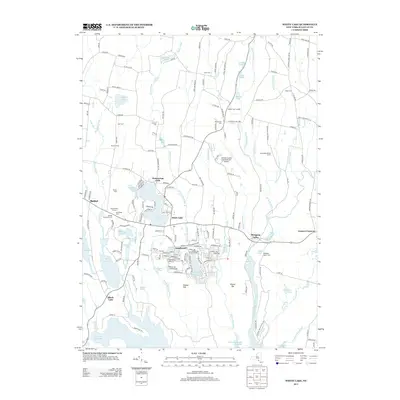
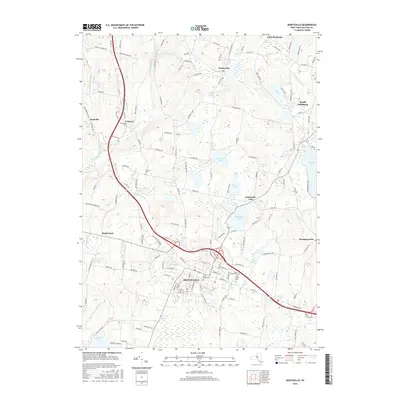
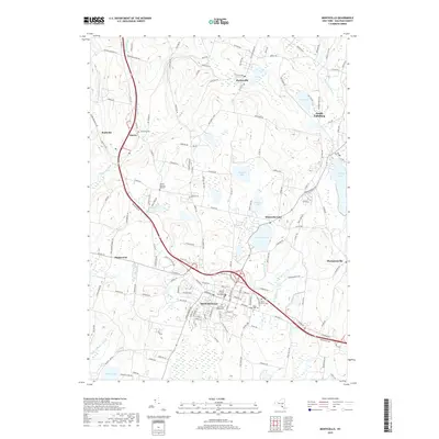
 - 2010 Map of Monticello, 2010 Print
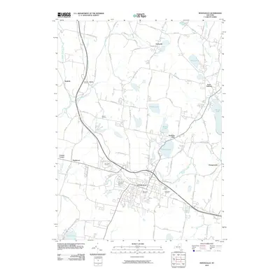 2010 Monticello2010 Print · USGSCovers Thompson, including Fallsburg, Liberty, and other nearby areas
 - 2010 Map of Yankee Lake, 2010 Print
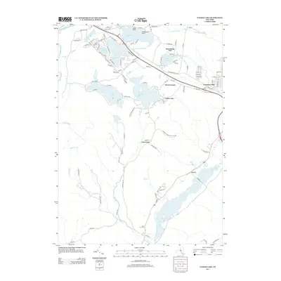
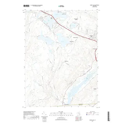
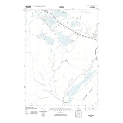 2010 Yankee Lake2010 Print · USGSCovers Thompson, including Mamakating, Deerpark, and other nearby areas
 - 2013 Map of Monticello, 2013 Print
 2013 Monticello2013 Print · USGSCovers Thompson, including Fallsburg, Liberty, and other nearby areas
 - 2013 Map of Highland Lake, 2013 Print
 2013 Highland Lake2013 Print · USGSCovers Thompson, including Bethel, Lumberland, and other nearby areas
 - 2013 Map of Hartwood, 2013 Print
 2013 Hartwood2013 Print · USGSCovers Thompson, including Rock Hill, Forestburgh, and other nearby areas
 - 2013 Map of Woodridge, 2013 Print
 2013 Woodridge2013 Print · USGSCovers Thompson, including Fallsburg, Wawarsing, and other nearby areas
 - 2013 Map of White Lake, 2013 Print
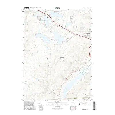
 2013 White Lake2013 Print · USGSCovers Thompson, including Liberty, Bethel, and other nearby areas
 - 2013 Map of Yankee Lake, 2013 Print
 2013 Yankee Lake2013 Print · USGSCovers Thompson, including Mamakating, Deerpark, and other nearby areas
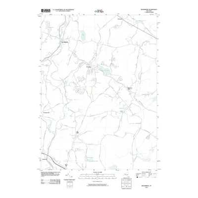
 - 2016 Map of Hartwood, 2016 Print
 2016 Hartwood2016 Print · USGSCovers Thompson, including Rock Hill, Forestburgh, and other nearby areas
 - 2016 Map of Highland Lake, 2016 Print
 2016 Highland Lake2016 Print · USGSCovers Thompson, including Bethel, Lumberland, and other nearby areas
 - 2016 Map of Woodridge, 2016 Print
 2016 Woodridge2016 Print · USGSCovers Thompson, including Fallsburg, Wawarsing, and other nearby areas
 - 2016 Map of Monticello, 2016 Print
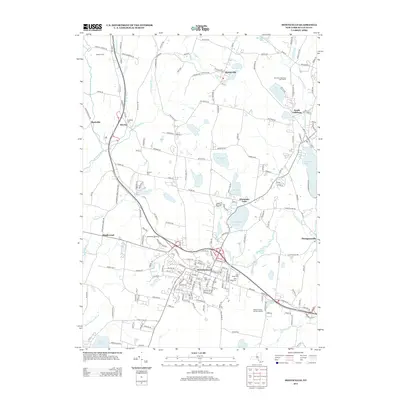
 2016 Monticello2016 Print · USGSCovers Thompson, including Fallsburg, Liberty, and other nearby areas
 - 2016 Map of Yankee Lake, 2016 Print
 2016 Yankee Lake2016 Print · USGSCovers Thompson, including Mamakating, Deerpark, and other nearby areas
 - 2016 Map of White Lake, 2016 Print
 2016 White Lake2016 Print · USGSCovers Thompson, including Liberty, Bethel, and other nearby areas
 - 2019 Map of Yankee Lake, 2019 Print
 2019 Yankee Lake2019 Print · USGSCovers Thompson, including Mamakating, Deerpark, and other nearby areas
 - 2019 Map of Highland Lake, 2019 Print
 2019 Highland Lake2019 Print · USGSCovers Thompson, including Bethel, Lumberland, and other nearby areas
 - 2019 Map of White Lake, 2019 Print
 2019 White Lake2019 Print · USGSCovers Thompson, including Liberty, Bethel, and other nearby areas
 - 2019 Map of Hartwood, 2019 Print
 2019 Hartwood2019 Print · USGSCovers Thompson, including Rock Hill, Forestburgh, and other nearby areas
 - 2019 Map of Monticello, 2019 Print
 2019 Monticello2019 Print · USGSCovers Thompson, including Fallsburg, Liberty, and other nearby areas
 - 2019 Map of Woodridge, 2019 Print
 2019 Woodridge2019 Print · USGSCovers Thompson, including Fallsburg, Wawarsing, and other nearby areas
 - 2023 Map of Woodridge, 2023 Print
 2023 Woodridge2023 Print · USGSThe Sullivan County highlands come into focus in this contemporary survey of the Neversink River valley and its historic hamlets. Local researchers can trace family landmarks and community sites like Hillside Cem, Yeshiva Gedolah Zichron Moshe, and Silver Lake.
Showing maps 1-25 of 30
Top cities near Thompson
- Wallkill historical maps
- Middletown historical maps
- Goshen historical maps
- Fallsburg historical maps
- Wawarsing historical maps
- Mamakating historical maps
See more
Top neighborhoods of Thompson
- Harris historical maps
- Maplewood historical maps
- Coopers Corners historical maps
- Melody Lake historical maps
- Thompsonville historical maps
- Monticello historical maps
See more
Frequently asked questions
- What are the different types of historical maps available for Thompson?
- What is the oldest map of Thompson?
- Where can I purchase historical maps of Thompson for my home or office?
- Where can I download high-res historical maps of Thompson?
- Are there historical topographic maps available for Thompson?
- Is there historical aerial imagery available for Thompson?
- Where are historical maps of Thompson sourced from?