2000s (21st Century) Maps of Alexander County, North Carolina
Explore 47 historic maps of Alexander County from the 2000s (21st Century). These maps offer a rare glimpse into what life looked like during the 2000s — showing old roads, neighborhoods, homes, and landmarks that have changed or disappeared over time.
Whether you're researching your family's past, planning a metal detecting trip, or studying how Alexander County's landscape evolved across the 2000s, these high-resolution maps are a powerful tool for exploring the history of this region.
- Focus on a specific era: All maps on this page are from the 2000s, giving you a focused view of this time period.
- See what’s changed: Compare century-old streets, trails, and buildings to today's modern landscape using overlays and satellite layers.
- Research with precision: Use these maps for genealogy, historical research, land use analysis, or educational projects.
- View, download, or print: Maps are fully viewable online in high resolution, and can be downloaded or printed for your own records.
Start exploring Alexander County's history through authentic maps from the 2000s. This is your window into the past.
Alexander County, NC maps
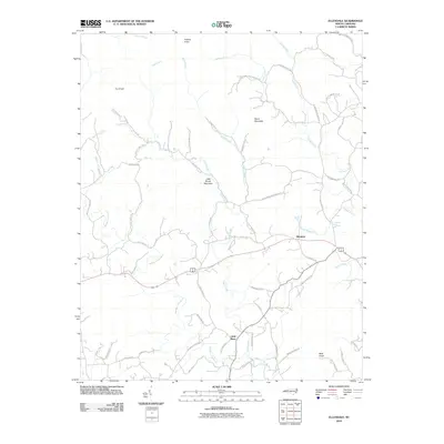
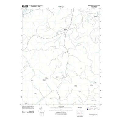
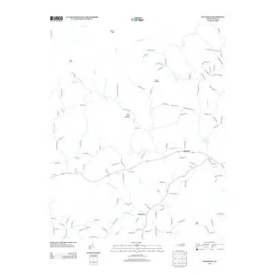
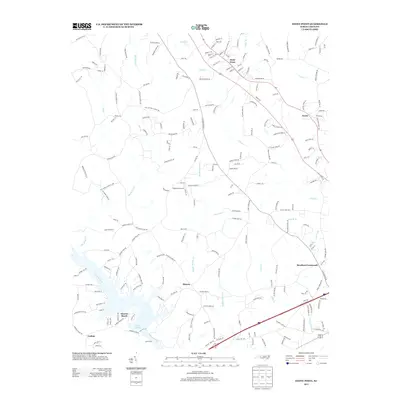
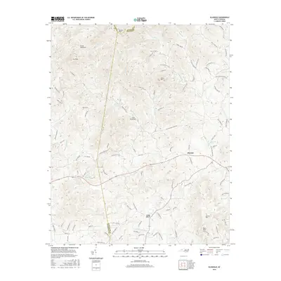
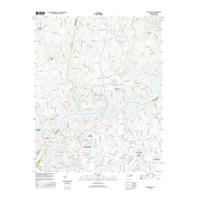
(47)- 2000 Map of Moravian Falls, 2003 Print
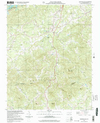 2000 Moravian Falls2003 Print · USGSWilkes and Alexander Counties are captured at the opening of the millennium, showing a landscape defined by the ridgelines of the Brushy Mountains. Genealogists and local historians can trace rural homesteads and congregations like Mt Olive Ch and Boomer Ch, or locate high points like Pores Knob.
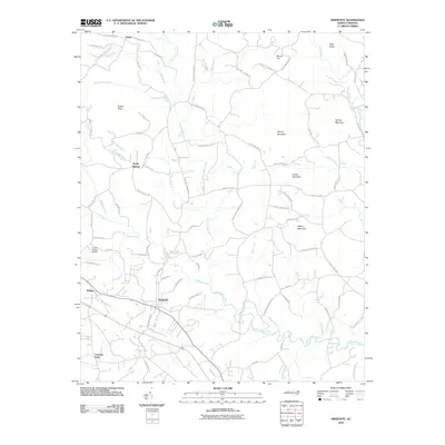
 - 2000 Map of Gilreath, 2003 Print
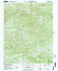 2000 Gilreath2003 Print · USGSWilkes and Alexander counties are captured at the turn of the millennium, centered on the heights of the Brushy Mountains. Genealogists can trace family roots through numerous country sanctuaries like Old Bethany Ch and Hunting Creek Cem.
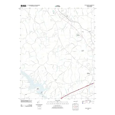
 - 2010 Map of Boomer, 2010 Print
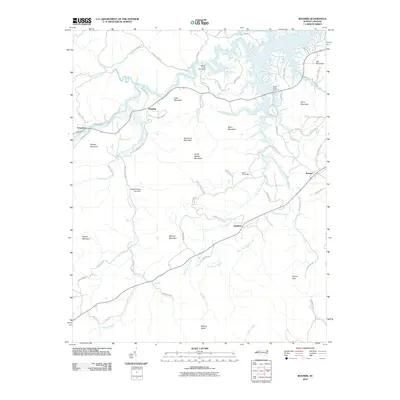 2010 Boomer2010 Print · USGSCovers Alexander County, including Oakdale, Boomer, and other nearby areas
 - 2010 Map of Gilreath, 2010 Print
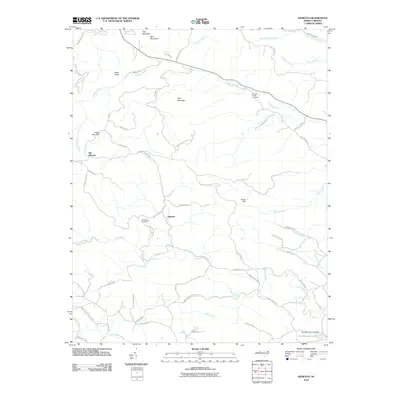 2010 Gilreath2010 Print · USGSCovers Alexander County, including Gilreath, Old Gilreath, and other nearby areas
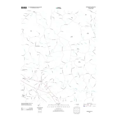
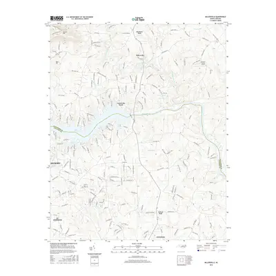
 - 2010 Map of Bethlehem, 2010 Print
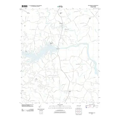
 2010 Bethlehem2010 Print · USGSCovers Alexander County, including Hickory, Granite Falls, and other nearby areas
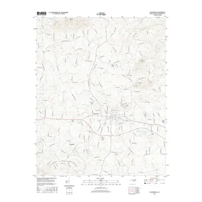
 - 2010 Map of Taylorsville, 2010 Print
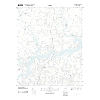
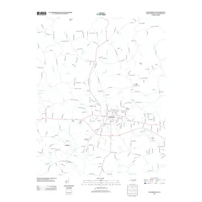
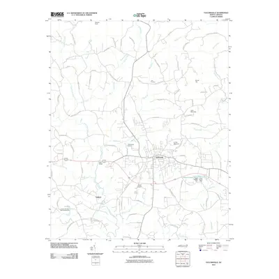 2010 Taylorsville2010 Print · USGSCovers Alexander County, including Taylorsville, Liledoun, and other nearby areas
 - 2010 Map of Millersville, 2010 Print
 2010 Millersville2010 Print · USGSCovers Alexander County, including Hickory, Conover, and other nearby areas
 - 2010 Map of Ellendale, 2010 Print
 2010 Ellendale2010 Print · USGSCovers Alexander County, including Little River, Ellendale, and other nearby areas
 - 2010 Map of Moravian Falls, 2010 Print
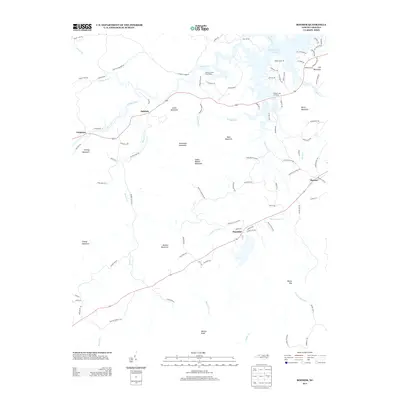
 2010 Moravian Falls2010 Print · USGSCovers Alexander County, including Wilkesboro, Fox Run, and other nearby areas
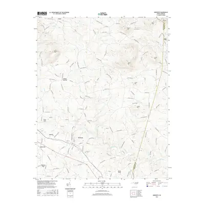
 - 2010 Map of Hiddenite, 2010 Print
 2010 Hiddenite2010 Print · USGSCovers Alexander County, including Love Valley, Fairview Park, and other nearby areas
 - 2010 Map of Stony Point, 2010 Print
 2010 Stony Point2010 Print · USGSCovers Alexander County, including Bradford Crossroads, Sharon, and other nearby areas
 - 2013 Map of Taylorsville, 2013 Print
 2013 Taylorsville2013 Print · USGSCovers Alexander County, including Taylorsville, Liledoun, and other nearby areas
 - 2013 Map of Ellendale, 2013 Print
 2013 Ellendale2013 Print · USGSCovers Alexander County, including Little River, Ellendale, and other nearby areas
 - 2013 Map of Hiddenite, 2013 Print
 2013 Hiddenite2013 Print · USGSCovers Alexander County, including Love Valley, Fairview Park, and other nearby areas
 - 2013 Map of Millersville, 2013 Print
 2013 Millersville2013 Print · USGSCovers Alexander County, including Hickory, Conover, and other nearby areas
 - 2013 Map of Bethlehem, 2013 Print
 2013 Bethlehem2013 Print · USGSCovers Alexander County, including Hickory, Granite Falls, and other nearby areas
 - 2013 Map of Stony Point, 2013 Print
 2013 Stony Point2013 Print · USGSCovers Alexander County, including Bradford Crossroads, Sharon, and other nearby areas
 - 2013 Map of Boomer, 2013 Print
 2013 Boomer2013 Print · USGSCovers Alexander County, including Oakdale, Boomer, and other nearby areas
 - 2013 Map of Gilreath, 2013 Print
 2013 Gilreath2013 Print · USGSCovers Alexander County, including Gilreath, Old Gilreath, and other nearby areas
 - 2013 Map of Moravian Falls, 2013 Print
 2013 Moravian Falls2013 Print · USGSCovers Alexander County, including Wilkesboro, Fox Run, and other nearby areas
 - 2016 Map of Ellendale, 2016 Print
 2016 Ellendale2016 Print · USGSCovers Alexander County, including Little River, Ellendale, and other nearby areas
 - 2016 Map of Millersville, 2016 Print
 2016 Millersville2016 Print · USGSCovers Alexander County, including Hickory, Conover, and other nearby areas
 - 2016 Map of Hiddenite, 2016 Print
 2016 Hiddenite2016 Print · USGSCovers Alexander County, including Love Valley, Fairview Park, and other nearby areas
 - 2016 Map of Taylorsville, 2016 Print
 2016 Taylorsville2016 Print · USGSCovers Alexander County, including Taylorsville, Liledoun, and other nearby areas
 - 2016 Map of Bethlehem, 2016 Print
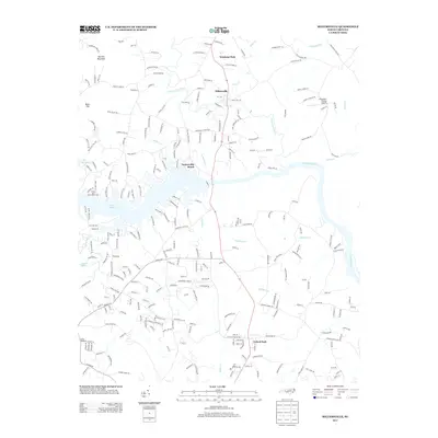
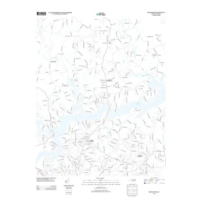
 2016 Bethlehem2016 Print · USGSCovers Alexander County, including Hickory, Granite Falls, and other nearby areas
Showing maps 1-25 of 47
Top cities of Alexander County
Frequently asked questions
- What are the different types of historical maps available for Alexander County?
- What is the oldest map of Alexander County?
- Where can I purchase historical maps of Alexander County for my home or office?
- Where can I download high-res historical maps of Alexander County?
- Are there historical topographic maps available for Alexander County?
- Is there historical aerial imagery available for Alexander County?
- Where are historical maps of Alexander County sourced from?