2010s Maps of Alexander County, North Carolina
Explore 36 historic maps of Alexander County from the 2010s. These maps offer a rare glimpse into what life looked like during the 2010s — showing old roads, neighborhoods, homes, and landmarks that have changed or disappeared over time.
Whether you're researching your family's past, planning a metal detecting trip, or studying how Alexander County's landscape evolved across the 2010s, these high-resolution maps are a powerful tool for exploring the history of this region.
- Focus on a specific era: All maps on this page are from the 2010s, giving you a focused view of this time period.
- See what’s changed: Compare century-old streets, trails, and buildings to today's modern landscape using overlays and satellite layers.
- Research with precision: Use these maps for genealogy, historical research, land use analysis, or educational projects.
- View, download, or print: Maps are fully viewable online in high resolution, and can be downloaded or printed for your own records.
Start exploring Alexander County's history through authentic maps from the 2010s. This is your window into the past.
Alexander County, NC maps
(36)- 2010 Map of Boomer, 2010 Print
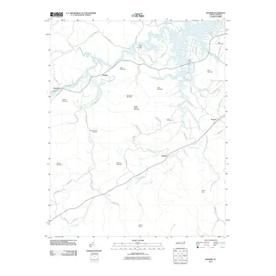 2010 Boomer2010 Print · USGSWilkes County at the turn of the millennium shows a landscape of river-fed valleys and mountain ridges. Researchers can trace family history through local routes like Tom Dula Rd and find established communities such as Boomer, Oakdale, and Ferguson.
 - 2010 Map of Gilreath, 2010 Print
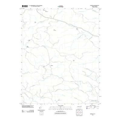 2010 Gilreath2010 Print · USGSWilkes County near the turn of the decade is captured here as a landscape of high ridges and winding creek valleys. Genealogists and local historians can trace family roots at Old Bethany Cemetery or locate old community hubs like Old Gilreath and Gilreath.
 - 2010 Map of Bethlehem, 2010 Print
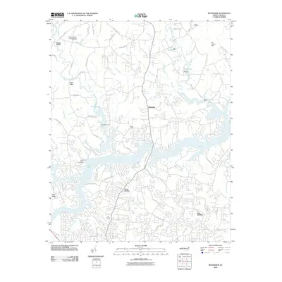 2010 Bethlehem2010 Print · USGSHickory and its northern suburbs are shown at the start of the millennium as residential growth expands toward the Upper Little River. Genealogists can trace family landmarks at Bentley Cemetery, Pisgah Cemetery, and the historic settlement area of Bethlehem.
 - 2010 Map of Taylorsville, 2010 Print
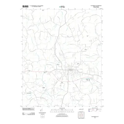 2010 Taylorsville2010 Print · USGSTaylorsville and the surrounding Alexander County foothills are captured here in the late 2000s, showcasing a landscape of river valleys and named peaks. Researchers can trace local history through sites like Jolly Cemetery, the settlement at Liledoun, and the Taylorsville Airport.
 - 2010 Map of Millersville, 2010 Print
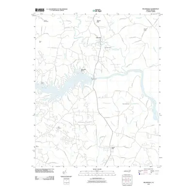 2010 Millersville2010 Print · USGSThe Catawba River valley in the early twenty-first century is defined by its massive dam projects and riverside communities. Genealogists and local historians can trace family landmarks and public spaces like Saint Lukes Cemetery, Isenhour Park, and the settlement of Millersville.
 - 2010 Map of Ellendale, 2010 Print
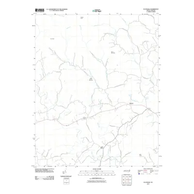 2010 Ellendale2010 Print · USGSNorth Carolina's Brushy Mountain foothills are captured here in the early 21st century, showing the rural crossroads of Ellendale. Genealogists and hikers can trace the winding roads around All Healing Springs, Little Brush Mountain, and the Middle Little River.
 - 2010 Map of Moravian Falls, 2010 Print
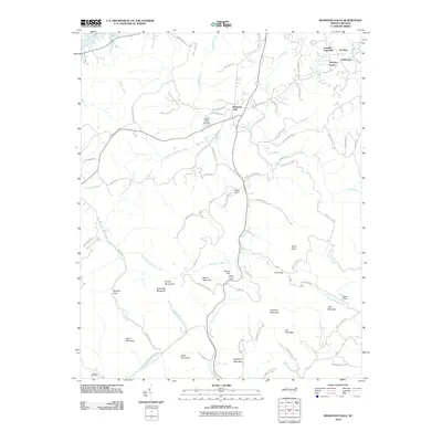 2010 Moravian Falls2010 Print · USGSThe foothills of Wilkes County come alive in this study of the area as it appeared in the early twenty-first century. Genealogists and hikers can trace family-named peaks like Davis Mountain or Joe Mountain and find local landmarks such as Moravian Falls and Lebanon Cemetery.
 - 2010 Map of Hiddenite, 2010 Print
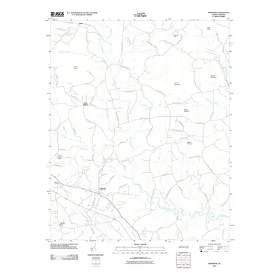 2010 Hiddenite2010 Print · USGSHiddenite and the surrounding North Carolina countryside are captured here during the first decade of the 2000s. Researchers can locate family landmarks like the Vashti Cemetery and Rocky Face Church or trace the winding course of the South Yadkin River.
 - 2010 Map of Stony Point, 2010 Print
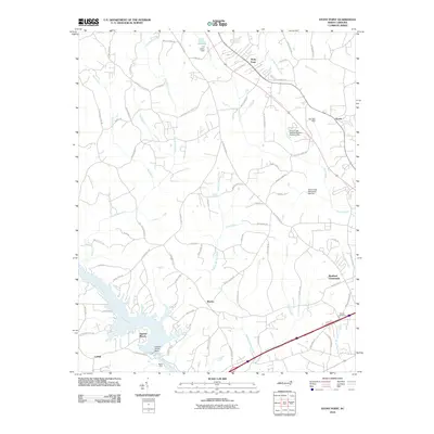 2010 Stony Point2010 Print · USGSIredell County at the turn of the decade shows a landscape of small Piedmont communities and managed waterways. Genealogists and historians can trace family-named routes and landmark sites like Beulah Cemetery, the Island Ford river crossing, and the settlement at Bradford Crossroads.
 - 2013 Map of Taylorsville, 2013 Print
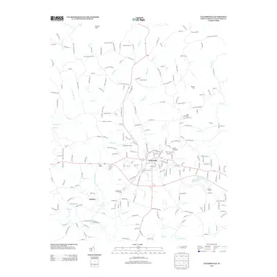 2013 Taylorsville2013 Print · USGSAlexander County comes to life in this early twenty-first-century survey, showcasing the mix of mountain terrain and agricultural valley life. Researchers can trace family-named sites such as Reese Dairy Farm, navigate the community of Liledoun, and locate historic crossings like Bells Bridge.
 - 2013 Map of Ellendale, 2013 Print
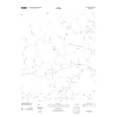 2013 Ellendale2013 Print · USGSEllendale and the surrounding Alexander County foothills are captured here in the early twenty-first century. Genealogists and local historians can trace family land near All Healing Springs, Never Mountain, or the banks of the Middle Little River.
 - 2013 Map of Hiddenite, 2013 Print
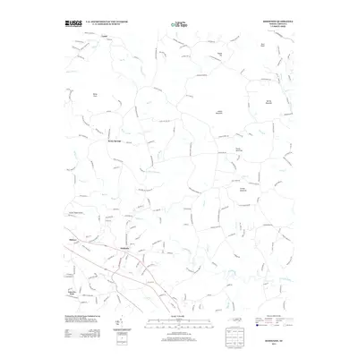 2013 Hiddenite2013 Print · USGSIredell and Alexander counties are documented here during the early twenty-first century as rural communities centered around the S Yadkin River. Researchers can trace local genealogy through landmarks like Vashti Cemetery, Zion Chapel, and family holdings near Asbury Mountain.
 - 2013 Map of Millersville, 2013 Print
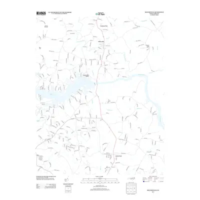 2013 Millersville2013 Print · USGSThe Catawba River valley north of Hickory shows a landscape of growing lakeside communities and rural ridges in the early twenty-first century. Researchers can trace family-named roads and landmarks like Millersville, the Alexander County Airport, and Barrett Mountain.
 - 2013 Map of Bethlehem, 2013 Print
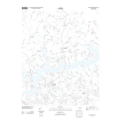 2013 Bethlehem2013 Print · USGSThe northern reaches of the Hickory area are captured here in the early twenty-first century as suburban neighborhoods meet the waters of Lake Hickory. Genealogists and local historians can trace family-named sites like Sal Teague Hill, Petra Mills, and Advent Church.
 - 2013 Map of Stony Point, 2013 Print
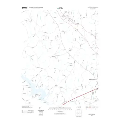 2013 Stony Point2013 Print · USGSIn the early twenty-first century, this area of Iredell County showcases the intersection of rural heritage and the riverfront communities of Sunrise Beach and Catfish. Researchers can trace old family holdings and local landmarks like Sharon, Bradford Crossroads, and the Flying BJ Airport.
 - 2013 Map of Boomer, 2013 Print
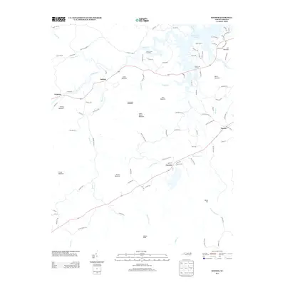 2013 Boomer2013 Print · USGSWilkes County's southern foothills appear in the early 2010s as a landscape of high ridges and winding river valleys. Genealogists and hikers can trace old roads around Stoneman Mountain and Boone Gap, or locate the rural crossroads of Thankful and Oakdale.
 - 2013 Map of Gilreath, 2013 Print
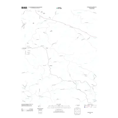 2013 Gilreath2013 Print · USGSThis Wilkes County upland region was captured in the early twenty-first century, highlighting a landscape where mountain orchards and family settlements remain central. Genealogists and local historians can trace the locations of Tevepaugh and Hendren Orchards or explore the rugged slopes of Pilot Mountain and Debs Knob.
 - 2013 Map of Moravian Falls, 2013 Print
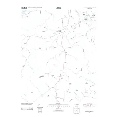 2013 Moravian Falls2013 Print · USGSThe foothills of the Brushy Mountains come alive in the early twenty-first century, showcasing a landscape of thriving orchards and growing communities. Researchers can trace family-owned operations like Deal Orchards and Perry Lowe Orchards or locate landmarks near Moravian Falls.
 - 2016 Map of Ellendale, 2016 Print
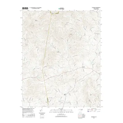 2016 Ellendale2016 Print · USGSThe foothills of the Brushy Mountains come into focus in this 2016 survey of the Alexander County area. Historians can trace the winding paths of the Middle Little River and locate landmarks like Land Cemetery Ln and Barrett Mtn.
 - 2016 Map of Millersville, 2016 Print
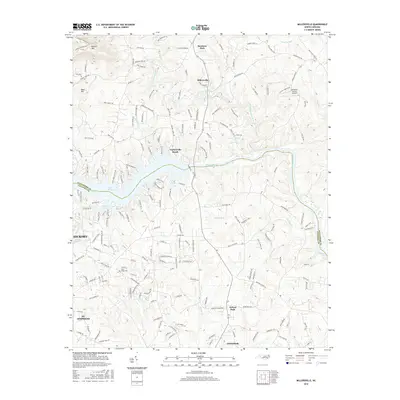 2016 Millersville2016 Print · USGSThe Catawba River valley north of Hickory shows its modern character in the 2010s, defined by the waters of Lake Hickory. Genealogists and researchers can trace rural development around Millersville, find Saint Lukes Cem, and locate the Alexander County Airport.
 - 2016 Map of Hiddenite, 2016 Print
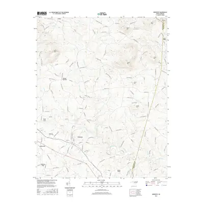 2016 Hiddenite2016 Print · USGSHiddenite and the South Yadkin River valley are mapped here in the modern era as they bridge the border between Alexander and Iredell counties. Researchers can trace rural roads to family-named landmarks and settlements like Love Valley, Stony Point, and Rocky Face.
 - 2016 Map of Taylorsville, 2016 Print
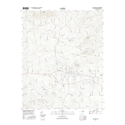 2016 Taylorsville2016 Print · USGSAlexander County in the mid-2010s reveals a deeply interconnected rural landscape centered on the crossroads of Taylorsville. Genealogists and local historians can trace family-named roads and landmarks like Mount Carmel Cem, Bells Bridge, and Pearson Knob.
 - 2016 Map of Bethlehem, 2016 Print
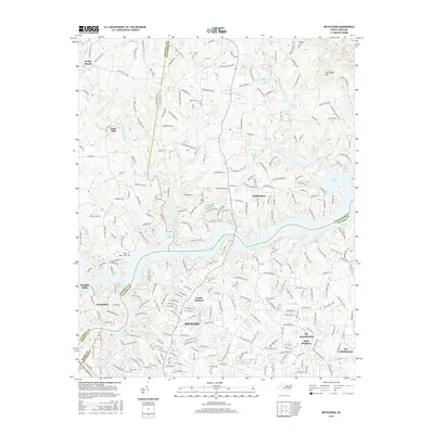 2016 Bethlehem2016 Print · USGSNorth Carolina's foothills meet the sprawling waters of Lake Hickory in this mid-2010s survey of the northern Catawba Valley. Local historians can trace established communities like Bethlehem and Petra Mills or locate family plots at Bentley Cemetery and Pisgah Cemetery.
 - 2016 Map of Stony Point, 2016 Print
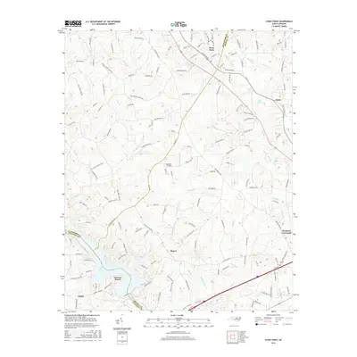 2016 Stony Point2016 Print · USGSThe crossroads and creeks of Alexander and Iredell counties are captured here in the mid-2010s. Trace the shorelines of Lake Lookout and Sunrise Beach, or locate family history at Beulah Cem and the rural junction of Bradford Crossroads.
 - 2016 Map of Moravian Falls, 2016 Print
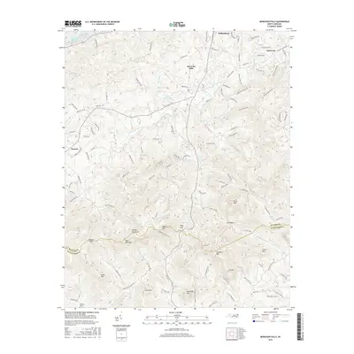 2016 Moravian Falls2016 Print · USGSWilkes County at the edge of the Brushy Mountains is captured here in the mid-2010s, showing the intersection of ridge-top peaks and foothill settlements. Researchers can locate family landmarks like Lebanon Cem and trace old routes through Russell Gap or Kilby Gap.
Showing maps 1-25 of 36
Top cities of Alexander County
Frequently asked questions
- What are the different types of historical maps available for Alexander County?
- What is the oldest map of Alexander County?
- Where can I purchase historical maps of Alexander County for my home or office?
- Where can I download high-res historical maps of Alexander County?
- Are there historical topographic maps available for Alexander County?
- Is there historical aerial imagery available for Alexander County?
- Where are historical maps of Alexander County sourced from?