2020s Maps of Alexander County, North Carolina
Explore 9 historic maps of Alexander County from the 2020s. These maps offer a rare glimpse into what life looked like during the 2020s — showing old roads, neighborhoods, homes, and landmarks that have changed or disappeared over time.
Whether you're researching your family's past, planning a metal detecting trip, or studying how Alexander County's landscape evolved across the 2020s, these high-resolution maps are a powerful tool for exploring the history of this region.
- Focus on a specific era: All maps on this page are from the 2020s, giving you a focused view of this time period.
- See what’s changed: Compare century-old streets, trails, and buildings to today's modern landscape using overlays and satellite layers.
- Research with precision: Use these maps for genealogy, historical research, land use analysis, or educational projects.
- View, download, or print: Maps are fully viewable online in high resolution, and can be downloaded or printed for your own records.
Start exploring Alexander County's history through authentic maps from the 2020s. This is your window into the past.
Alexander County, NC maps
(9)- 2022 Map of Millersville, 2022 Print
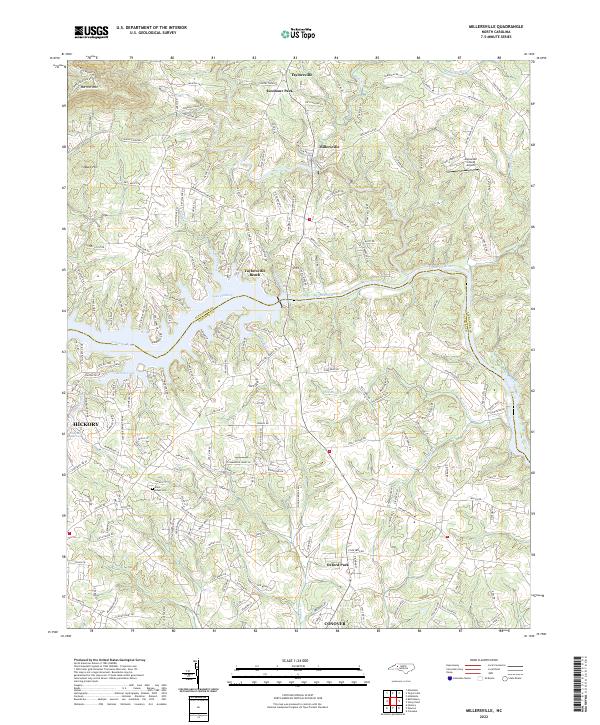 2022 Millersville2022 Print · USGSThe Catawba River valley comes alive in this contemporary study of the Alexander and Catawba county line during its recent period of growth. Researchers can trace family-named rural routes and locate landmarks like Saint Lukes Cem, Alexander County Airport, and Taylorsville Beach.
 - 2022 Map of Ellendale, 2022 Print
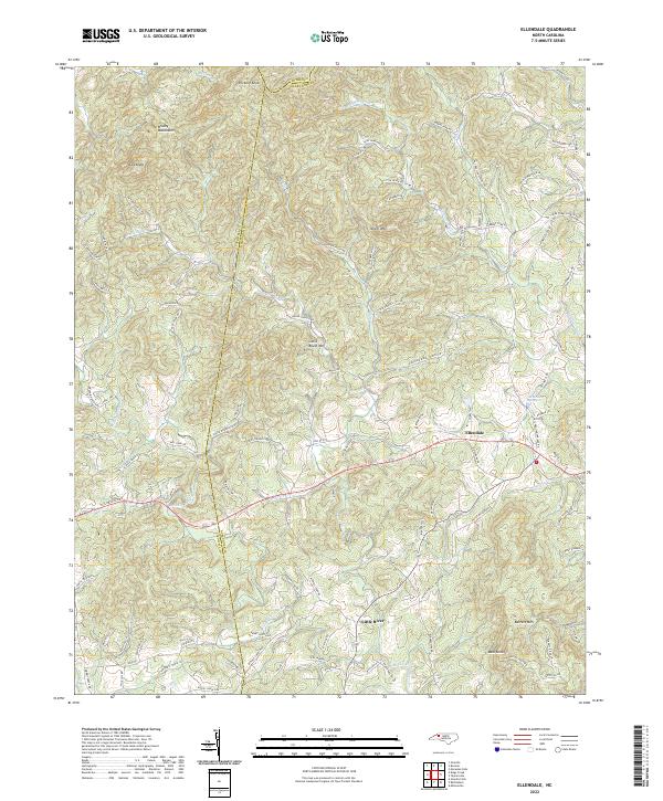 2022 Ellendale2022 Print · USGSAlexander County foothills are mapped here in the early 2020s, showing the rural community of Ellendale and its connection to the surrounding peaks. Researchers can trace family landmarks and mountain terrain through sites like the Land Cemetery, Hickory Knob, and Barrett Mtn.
 - 2022 Map of Taylorsville, 2022 Print
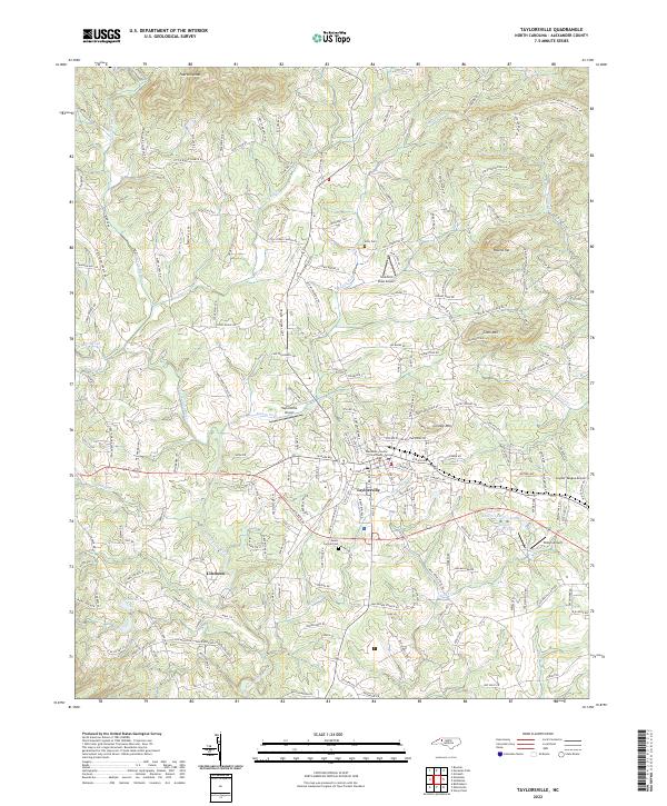 2022 Taylorsville2022 Print · USGSTaylorsville and the rolling Piedmont of Alexander County come into focus during the early twenty-first century. Researchers can trace the development of Liledoun, locate family landmarks like Jolly Cem, and identify old sites such as Three Forks Church.
 - 2022 Map of Stony Point, 2022 Print
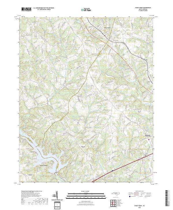 2022 Stony Point2022 Print · USGSThis Piedmont landscape at the Alexander and Iredell County line reflects a heritage of riverfront living and rural crossroads. Genealogists and local researchers can trace the roads to Stony Point, find the Beulah Church Cem, or explore shoreline sites near Sunrise Beach.
 - 2022 Map of Hiddenite, 2022 Print
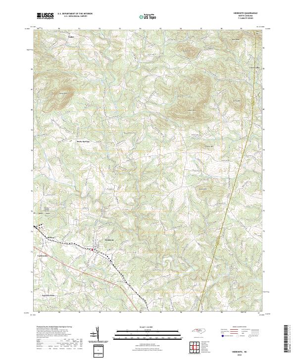 2022 Hiddenite2022 Print · USGSHiddenite and the surrounding Alexander County hills are shown in detail during the early 2020s as the area maintains its rural character. Researchers can trace family names and local landmarks through sites like Vashti Cemetery, the Gryder-Teague Airport, and the winding South Yadkin River.
 - 2022 Map of Bethlehem, 2022 Print
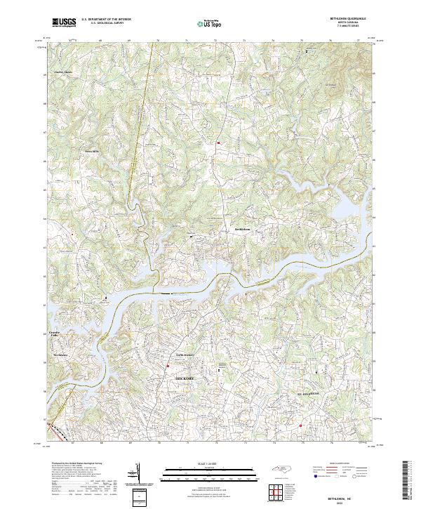 2022 Bethlehem2022 Print · USGSThe Catawba River valley near Bethlehem and Hickory appears here during a period of significant residential growth along the shores of Lake Hickory. Researchers can trace family history through local landmarks like Petra Mills, Bentley Cem, and Pisgah Cem.
 - 2022 Map of Gilreath, 2022 Print
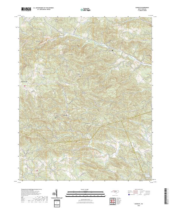 2022 Gilreath2022 Print · USGSThe Brushy Mountains of Wilkes County come into focus during this period, showing the rural landscape where three counties converge. Researchers can trace family history through sites like Old Bethany Cem and follow old local thoroughfares like Balls Mill Rd or Lewis Church Rd.
 - 2022 Map of Moravian Falls, 2022 Print
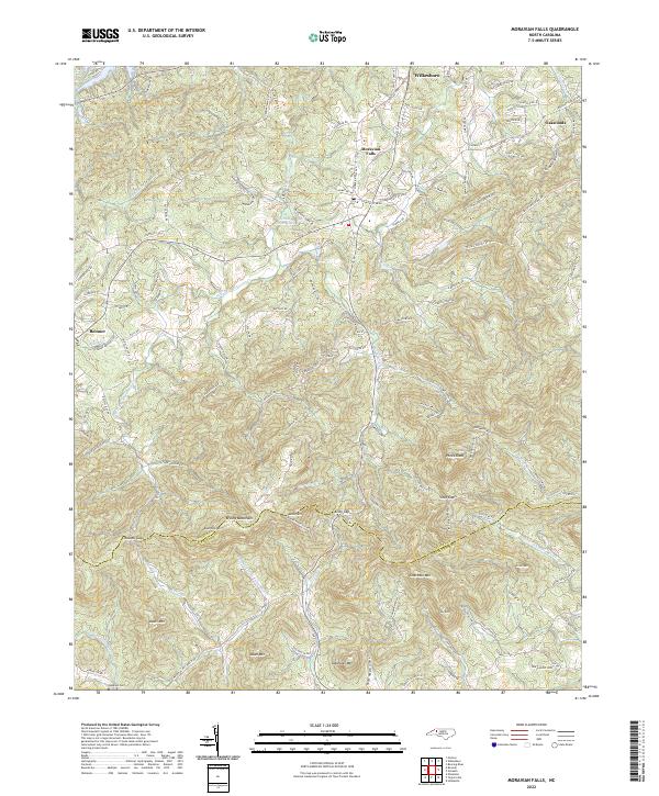 2022 Moravian Falls2022 Print · USGSThe Brushy Mountains of North Carolina define this landscape as it appeared in the early 2020s, showcasing the high ridges and gaps between Wilkes and Alexander Counties. Researchers can trace family sites near Moravian Falls or locate Lebanon Cem and Pores Knob.
 - 2022 Map of Boomer, 2022 Print
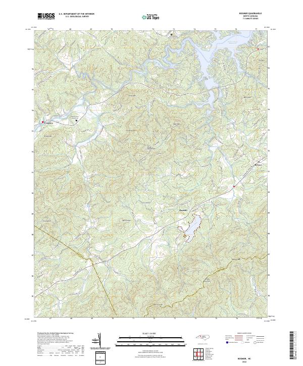 2022 Boomer2022 Print · USGSWilkes County at the edge of the Brushy Mountains remains a landscape of river valleys and high ridges in the early 2020s. Genealogists can trace family landmarks and rural communities at Thankful, Ferguson, and the Davis Memorial Baptist Church Cem.
End of results
Showing maps 1-9 of 9
Top cities of Alexander County
Frequently asked questions
- What are the different types of historical maps available for Alexander County?
- What is the oldest map of Alexander County?
- Where can I purchase historical maps of Alexander County for my home or office?
- Where can I download high-res historical maps of Alexander County?
- Are there historical topographic maps available for Alexander County?
- Is there historical aerial imagery available for Alexander County?
- Where are historical maps of Alexander County sourced from?