2010s Maps of Ashe County, North Carolina
Explore 64 historic maps of Ashe County from the 2010s. These maps offer a rare glimpse into what life looked like during the 2010s — showing old roads, neighborhoods, homes, and landmarks that have changed or disappeared over time.
Whether you're researching your family's past, planning a metal detecting trip, or studying how Ashe County's landscape evolved across the 2010s, these high-resolution maps are a powerful tool for exploring the history of this region.
- Focus on a specific era: All maps on this page are from the 2010s, giving you a focused view of this time period.
- See what’s changed: Compare century-old streets, trails, and buildings to today's modern landscape using overlays and satellite layers.
- Research with precision: Use these maps for genealogy, historical research, land use analysis, or educational projects.
- View, download, or print: Maps are fully viewable online in high resolution, and can be downloaded or printed for your own records.
Start exploring Ashe County's history through authentic maps from the 2010s. This is your window into the past.
Ashe County, NC maps
(64)- 2010 Map of Mouth of Wilson, 2010 Print
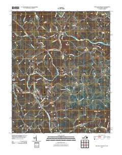 2010 Mouth of Wilson2010 Print · USGSThe North Carolina and Virginia borderlands come alive in this 2010 survey of the New River’s forks. Trace local history through family burial sites like Gold Hill Cemetery and river crossings at Weavers Ford and Kings Creek Ford.
 - 2010 Map of Jefferson, 2010 Print
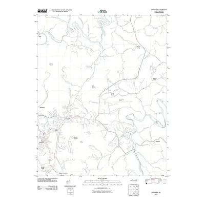 2010 Jefferson2010 Print · USGSAshe County at the start of the 2010s shows a landscape where the forks of the New River meet the peaks of Mount Jefferson and Phoenix Mountain. Researchers can trace local communities and landmarks like Shatley Springs, West Jefferson, and the Ashe County Airport.
 - 2010 Map of Deep Gap, 2010 Print
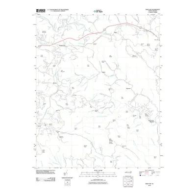 2010 Deep Gap2010 Print · USGSHigh-altitude mountain communities and the winding Blue Ridge Parkway are documented here during the early twenty-first century. Researchers can trace family sites at Laurel Fork Cemetery and explore the geography of early settlements like Triplett, Aho, and Rutherwood.
 - 2010 Map of Laurel Springs, 2010 Print
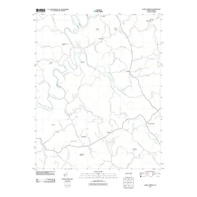 2010 Laurel Springs2010 Print · USGSAshe County's high country is captured here during the late 2000s, centered on the historic mining district of Ore Knob and the winding South Fork New River. Researchers can locate family landmarks like Matt Carson Cemetery and Mount Carmel Cemetery among the ridgelines.
 - 2010 Map of Horse Gap, 2010 Print
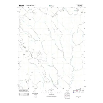 2010 Horse Gap2010 Print · USGSWilkes County mountain communities are captured here in the early twenty-first century as the Blue Ridge heights met the valley floors. Researchers can trace family landmarks and rural routes near Vannoy, Wilbar, and the historic Aren Beshears Dam.
 - 2010 Map of Warrensville, 2010 Print
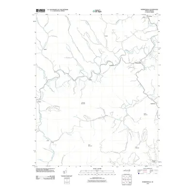 2010 Warrensville2010 Print · USGSAshe County high country is documented here at the start of the decade, showing a landscape of river-valley hamlets and isolated ridge-top farms. Genealogists can trace family footprints near Weaver Cemetery, Lansing, and the old settlement of Trout.
 - 2010 Map of Maple Springs, 2010 Print
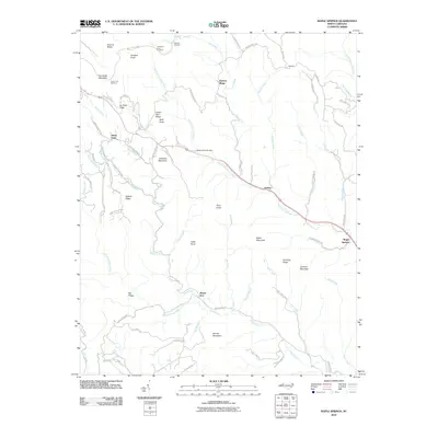 2010 Maple Springs2010 Print · USGSWilkes County mountain life is centered around the high ridges and watercourses of the Blue Ridge foothills in the twenty-first century. Researchers can trace family names and local landmarks through sites like Mount Zion, Harley, and the Wade Harris Bridge near Stony Fork.
 - 2010 Map of McGrady, 2010 Print
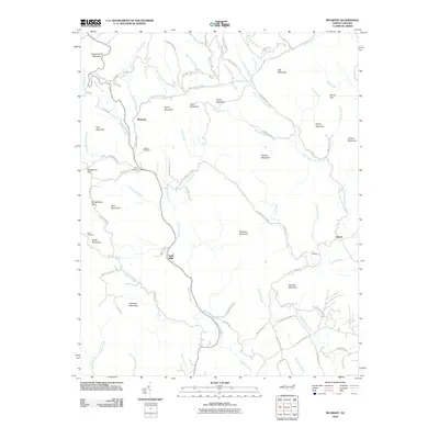 2010 McGrady2010 Print · USGSWilkes County mountain communities are captured here in the early twenty-first century as they follow the winding paths of the Blue Ridge foothills. Researchers can locate family heritage sites like Roberts Cemetery and Taylor Cemetery or trace old routes through Bumgardner Gap.
 - 2010 Map of Whitehead, 2010 Print
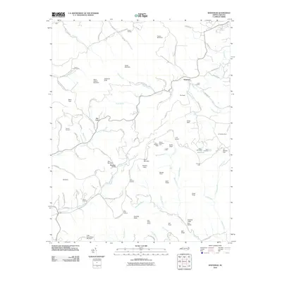 2010 Whitehead2010 Print · USGSAlleghany County high country is shown in detail during the early 21st century, centered on the community of Whitehead. Genealogists and local historians can trace family-named sites like Stamper Cemetery or locate landmarks along the Blue Ridge Pkwy such as the Caudill Cabin.
 - 2010 Map of Todd, 2010 Print
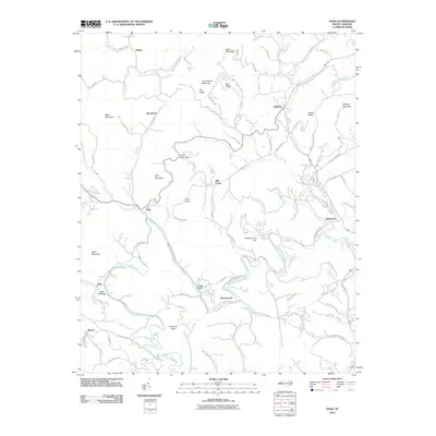 2010 Todd2010 Print · USGSAshe County communities like Todd and Fleetwood sit nestled along the South Fork New River in the first decade of the 2000s. Genealogists and historians can trace old homesteads and transportation routes like the Todd Railroad Grade Rd and Grassy Island.
 - 2010 Map of Glendale Springs, 2010 Print
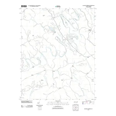 2010 Glendale Springs2010 Print · USGSThe South Fork New River valley in the early 2000s reveals a blend of old mountain hamlets and newer ridge-top developments. Researchers can trace historic settlements like Idlewild and Glendale Springs alongside landmarks like Ashe Lake and Benge Gap.
 - 2010 Map of Zionville, 2010 Print
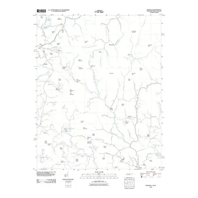 2010 Zionville2010 Print · USGSThe high country along the Tennessee-North Carolina line comes into focus here during the early twenty-first century. Researchers can trace ancestral sites at Old Hopewell Cemetery and Wilson Cemetery, or locate the historic Trade Post Office near the headwaters of Roan Creek.
 - 2011 Map of Baldwin Gap, 2011 Print
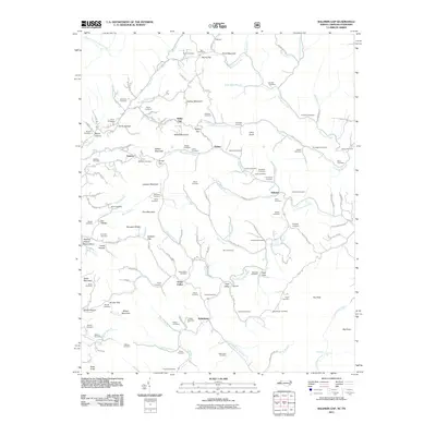 2011 Baldwin Gap2011 Print · USGSThe North Carolina-Tennessee borderlands appear here in the early twenty-first century, showing a landscape of high ridges and isolated mountain hollows. Researchers can locate dozens of family burial sites like Farmer Cemetery and Graybeal Cemetery near the crossroads of Ashland and Sutherland.
 - 2011 Map of Park, 2011 Print
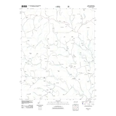 2011 Park2011 Print · USGSAshe County and the Virginia borderlands are shown here in the early twenty-first century, preserving a landscape of dispersed mountain settlements. Genealogists can trace family heritage through dozens of sites like Husk Post Office, Tuckerdale, and the Sullivan Cemetery.
 - 2011 Map of Grassy Creek, 2011 Print
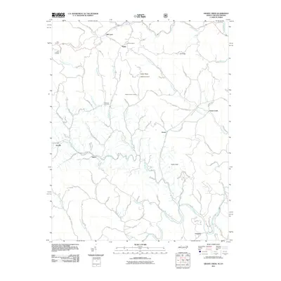 2011 Grassy Creek2011 Print · USGSAshe County and Grayson County mountain life is detailed here just after the turn of the millennium. Local historians can trace family roots through Corinth Cemetery and rural outposts like Sturgills or Rugby.
 - 2011 Map of Grayson, 2011 Print
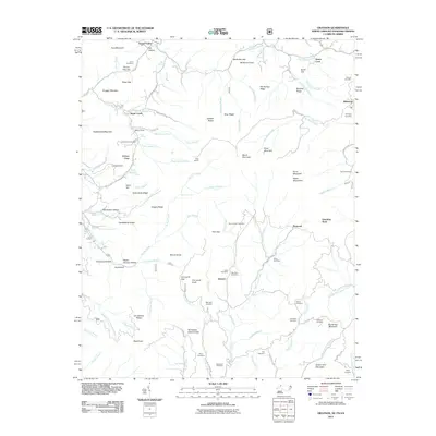 2011 Grayson2011 Print · USGSThe mountain communities of the Blue Ridge are captured here during the early twenty-first century as they gathered around the Tennessee Valley Divide. Genealogists can trace family heritage through numerous remote burial sites, including the Whitetop Cemetery, Dunn Cemetery, and Rye Cove Cemetery.
 - 2013 Map of Zionville, 2013 Print
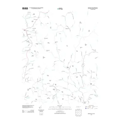 2013 Zionville2013 Print · USGSThe Tennessee and North Carolina high country is captured here during the early twenty-first century. Genealogists and local historians can trace family roots at Old Hopewell Cemetery or Greer Cemetery, and locate mountain crossroads like Trade and Pottertown.
 - 2013 Map of Laurel Springs, 2013 Print
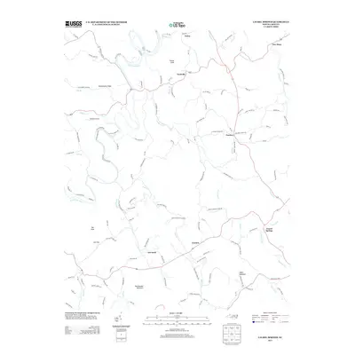 2013 Laurel Springs2013 Print · USGSAshe County high country is documented here in the early 21st century, showing the scattered mountain settlements and rugged topography. Local researchers can trace family landmarks and rural routes between Ore Knob, Laurel Springs, and the S Fork New River.
 - 2013 Map of McGrady, 2013 Print
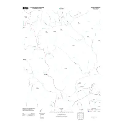 2013 McGrady2013 Print · USGSWilkes County’s highland communities are captured here in the early twenty-first century as they follow the paths of the Mulberry Cr and W Prong Roaring River. Local historians can trace family-named landmarks like Dancy Mountain, Harrold Mountain, and the settlement of Halls Mills.
 - 2013 Map of Whitehead, 2013 Print
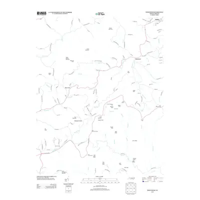 2013 Whitehead2013 Print · USGSThe Alleghany County highlands appear here just as the modern era solidified its footprint on this mountain landscape. Researchers can trace rural heritage through the locations of Caudill Cabin, the settlement of Whitehead, and the winding Blue Ridge Pkwy.
 - 2013 Map of Deep Gap, 2013 Print
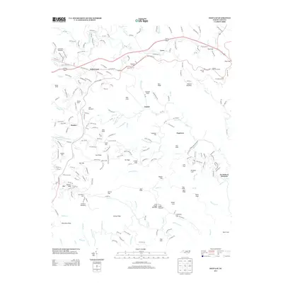 2013 Deep Gap2013 Print · USGSThe Blue Ridge highlands of Watauga County are captured here in the early twenty-first century, showing a landscape defined by high peaks and mountain gaps. Genealogists and hikers can trace family-named landmarks like Pasleys Ridge, Bentley Knob, and the small settlement of Triplett.
 - 2013 Map of Baldwin Gap, 2013 Print
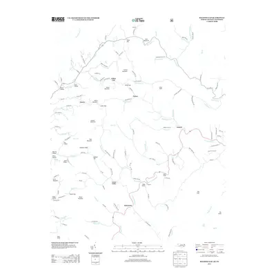 2013 Baldwin Gap2013 Print · USGSAshe County high country is documented here in the early twenty-first century, showing the mountain settlements along the N Fork New River. Researchers can trace the rural layout of Ashland, Green Valley, and Sutherland alongside family-named hollows and Long Hope Falls.
 - 2013 Map of Jefferson, 2013 Print
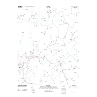 2013 Jefferson2013 Print · USGSAshe County’s high country comes into focus in this early twenty-first-century survey of the New River’s mountain forks. Genealogists and local historians can trace family-named roads and rural communities like Shatley Springs, Orion, and Nathans Creek.
 - 2013 Map of Grassy Creek, 2013 Print
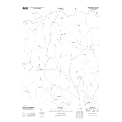 2013 Grassy Creek2013 Print · USGSThe North Carolina and Virginia borderlands come alive in this map of the Blue Ridge foothills during the early twenty-first century. Genealogists and hikers can trace the winding N Fork New River and locate small communities like Helton, Crumpler, and Rugby.
 - 2013 Map of Glendale Springs, 2013 Print
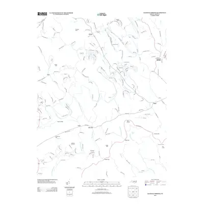 2013 Glendale Springs2013 Print · USGSAshe County high country is shown in this 2013 survey as a landscape of river-bend settlements and mountain peaks. Researchers can trace historic family landmarks and communities like Othello, Idlewild, and Obids, or locate the scenic Betseys Rock Falls.
Showing maps 1-25 of 64
Top cities of Ashe County
Frequently asked questions
- What are the different types of historical maps available for Ashe County?
- What is the oldest map of Ashe County?
- Where can I purchase historical maps of Ashe County for my home or office?
- Where can I download high-res historical maps of Ashe County?
- Are there historical topographic maps available for Ashe County?
- Is there historical aerial imagery available for Ashe County?
- Where are historical maps of Ashe County sourced from?