2010s Maps of Bertie County, North Carolina
Explore 82 historic maps of Bertie County from the 2010s. These maps offer a rare glimpse into what life looked like during the 2010s — showing old roads, neighborhoods, homes, and landmarks that have changed or disappeared over time.
Whether you're researching your family's past, planning a metal detecting trip, or studying how Bertie County's landscape evolved across the 2010s, these high-resolution maps are a powerful tool for exploring the history of this region.
- Focus on a specific era: All maps on this page are from the 2010s, giving you a focused view of this time period.
- See what’s changed: Compare century-old streets, trails, and buildings to today's modern landscape using overlays and satellite layers.
- Research with precision: Use these maps for genealogy, historical research, land use analysis, or educational projects.
- View, download, or print: Maps are fully viewable online in high resolution, and can be downloaded or printed for your own records.
Start exploring Bertie County's history through authentic maps from the 2010s. This is your window into the past.
Bertie County, NC maps
(82)- 2010 Map of Windsor South, 2010 Print
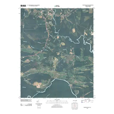 2010 Windsor South2010 Print · USGSCovers Bertie County, including Windsor, Millers Store, and other nearby areas
 - 2010 Map of Jamesville, 2010 Print
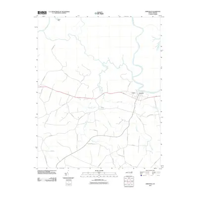 2010 Jamesville2010 Print · USGSThe Roanoke River settlement of Jamesville is captured here in the early twenty-first century, showing the enduring rural character of Martin County. Researchers can trace local history along Tar Landing and the Roanoke River, or find family landmarks like Fairview Church Rd.
 - 2010 Map of Westover, 2010 Print
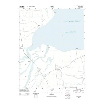 2010 Westover2010 Print · USGSCoastal North Carolina at the opening of the decade reveals a landscape defined by the expansive Albemarle Sound and the winding Roanoke River. Genealogists and local historians can trace the rural communities of Westover and Macedonia or locate heritage sites like Saint Luke Cemetery.
 - 2010 Map of Woodard, 2010 Print
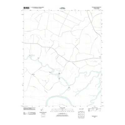 2010 Woodard2010 Print · USGSCoastal Bertie County is captured here in the early twenty-first century, defined by the winding paths of the Roanoke and Cashie rivers. Genealogists and local historians can locate long-standing river access points like Jacocks Landing and the iconic Sans Souci Ferry.
 - 2010 Map of Plymouth West, 2010 Print
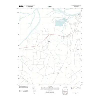 2010 Plymouth West2010 Print · USGSWashington County at the start of the decade shows a landscape shaped by the Roanoke River and the industrial corridors near Plymouth. Genealogists and local historians can trace family-named routes and small communities like Dardens, Ren, and Hinson among the expansive reaches of Cooper Swamp.
 - 2010 Map of Plymouth East, 2010 Print
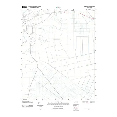 2010 Plymouth East2010 Print · USGSThe Roanoke River lowlands and the managed wetlands east of Plymouth are captured here during the first decade of the millennium. Researchers can trace the agricultural drainage patterns and family-named routes like Roxie Reese Rd, Craddock Rd, and the community of Pineridge.
 - 2010 Map of Roper North, 2010 Print
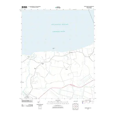 2010 Roper North2010 Print · USGSThe southern shores of the Albemarle Sound come into focus during the early twenty-first century. Researchers can trace the layout of coastal settlements like Skinnersville and Mackeys, or locate Saint Luke Cemetery and S Lees Saw Mills.
 - 2010 Map of Merry Hill, 2010 Print
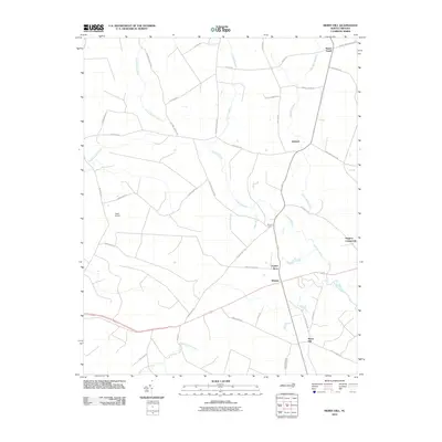 2010 Merry Hill2010 Print · USGSBertie County at the start of the 2010s reveals a landscape of enduring rural crossroads and significant wetland systems. Genealogists and local historians can trace family-named routes and small communities such as Merry Hill, Taylors Store, and Ashland.
 - 2010 Map of Valhalla, 2010 Print
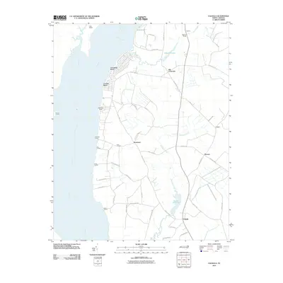 2010 Valhalla2010 Print · USGSCoastal North Carolina river life is captured here during the first decade of the new millennium. Researchers can trace family-named points and historic water features like Nixon Cemetery, Bennett Mill Pond, and Rockyhock Landing.
 - 2010 Map of Edenhouse, 2010 Print
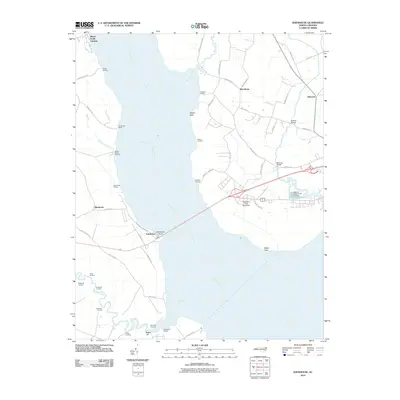 2010 Edenhouse2010 Print · USGSThe Chowan River waterfront in the early twenty-first century reveals a landscape shaped by riverine commerce and colonial history. Researchers can trace numerous family-named landmarks and water-access points like Hermitage Wharf, Macedonia, and Edenhouse.
 - 2010 Map of Norfleet, 2010 Print
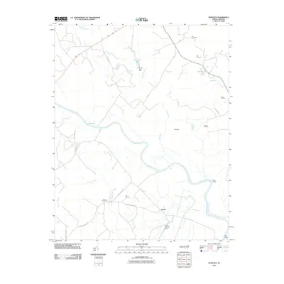 2010 Norfleet2010 Print · USGSCoastal plain wetlands and river landings define this North Carolina landscape in the early twenty-first century. Researchers can trace family history through sites like Bell Cemetery and Norfleet Cemetery or locate the historic Shields Commissary near the river.
 - 2010 Map of Powellsville, 2010 Print
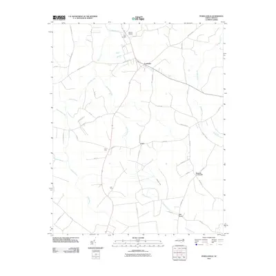 2010 Powellsville2010 Print · USGSCoastal plain settlements and winding swamp networks define Bertie County in this recent survey. Local historians can trace family-named routes and community sites like Buzzards Crossroads, Elm Grove, and the Highland Memorial Cemetery.
 - 2010 Map of Williamston, 2010 Print
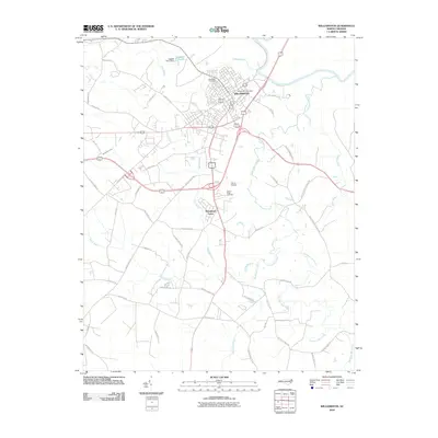 2010 Williamston2010 Print · USGSWilliamston sits along the Roanoke River at the start of the 2010s, surrounded by a network of creeks and wetlands. Researchers can trace local landmarks like Woodlawn Cemetery, the Harris Airport, and rural drainages such as Back Swamp.
 - 2010 Map of Quitsna, 2010 Print
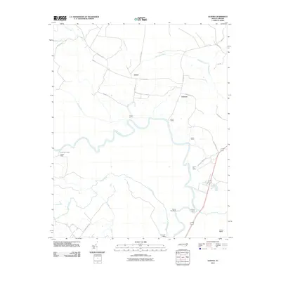 2010 Quitsna2010 Print · USGSBertie County's river-dependent landscape is documented here in the early twenty-first century, showing the enduring geography of the Roanoke River. Genealogists and historians can trace old river access points like Spellers Ferry Landing and Poplar Point Landing alongside the inland crossroads of Grabtown.
 - 2010 Map of Lewiston Woodville, 2010 Print
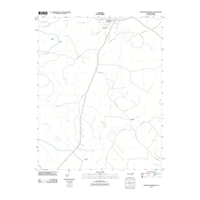 2010 Lewiston Woodville2010 Print · USGSBertie County in the early twenty-first century remains a landscape of river landings and rural crossroads. Local historians can trace old property lines and routes near Lewiston Woodville, Apple Tree Landing, and the quiet settlement of Cahaba.
 - 2010 Map of Aulander, 2010 Print
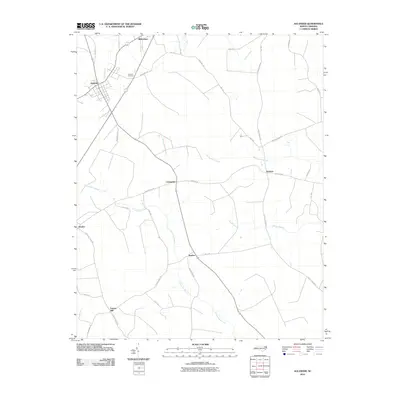 2010 Aulander2010 Print · USGSBertie County's rural crossroads and lowlands are captured here in the early 2000s, showing a landscape shaped by farming and winding wetlands. Researchers can locate family-named landmarks and small settlements like Millennium, Hexlena, and the Eastview Cemetery.
 - 2010 Map of Kelford, 2010 Print
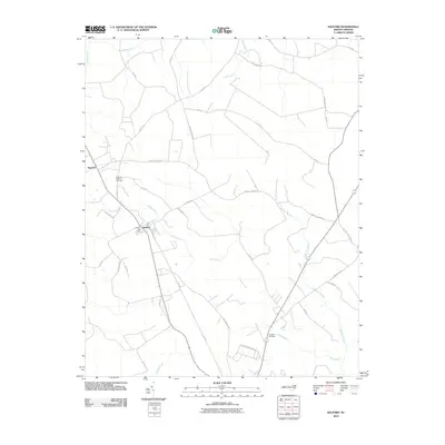 2010 Kelford2010 Print · USGSThe interconnected towns of Roxobel and Kelford are captured in the early twenty-first century, showcasing a landscape shaped by the Cashie River and its surrounding wetlands. Researchers can trace family sites near the Roxobel-Kelford Cemetery or explore old transport routes like Harrells Siding Rd.
 - 2010 Map of Republican, 2010 Print
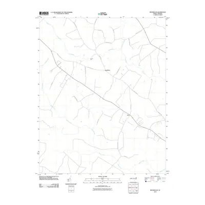 2010 Republican2010 Print · USGSBertie County in the early twenty-first century remains a landscape of winding riverbanks and quiet crossroads settlements. Researchers can trace land use near Burdens Mill or locate family landmarks along Old King Farm Rd and Bazemore Park Rd.
 - 2010 Map of Palmyra, 2010 Print
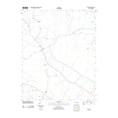 2010 Palmyra2010 Print · USGSCoastal plain heritage and riverfront life are preserved here during the first decade of the 2000s. Researchers can trace ancestral sites across several family plots like Fields Cemetery or locate old transit points such as Hills Ferry and Devereaux Landing.
 - 2010 Map of Colerain, 2010 Print
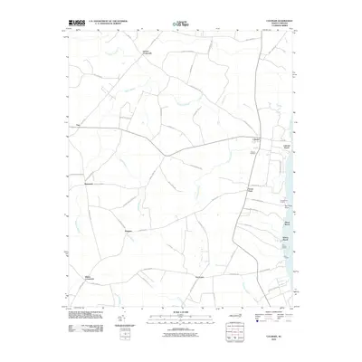 2010 Colerain2010 Print · USGSCoastal North Carolina's riverfront and swamp interior are mapped here during the early twenty-first century. Researchers can trace rural lineages through family-named landmarks and settlements like Glovers Crossroads, Trap, and the riverfront at Colerain Beach.
 - 2010 Map of Hamilton, 2010 Print
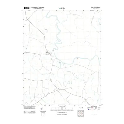 2010 Hamilton2010 Print · USGSCoastal North Carolina at the turn of the decade is defined here by the river-bend settlement of Hamilton and the surrounding Martin County wetlands. Genealogists and researchers can trace local family landmarks and waterways from Cocks Landing to the Huskanaw Swamp and Rainbow Pond.
 - 2011 Map of Windsor North, 2011 Print
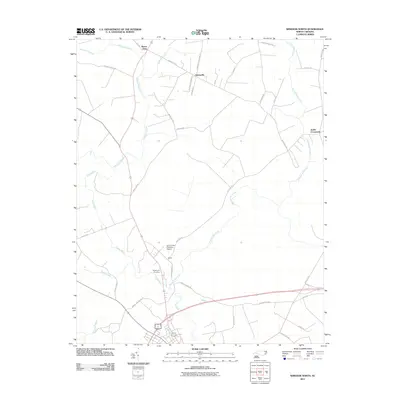 2011 Windsor North2011 Print · USGSBertie County's rural character is on full display here in the early 2000s, where small settlements sit tucked between the swampy tributaries of the Albemarle Sound. Genealogists and historians can trace family-named roads and landmarks like Edgewood Cemetery, Askewville, and the Lea Lumber Company Airport.
 - 2013 Map of Aulander, 2013 Print
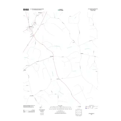 2013 Aulander2013 Print · USGSThe coastal plain of Bertie County is shown here in the early 21st century, centered on the historic crossroads of Aulander. Researchers can trace the layout of small rural communities like Millennium, Hexlena, and Burden amidst the reaches of Beaverdam Swamp.
 - 2013 Map of Kelford, 2013 Print
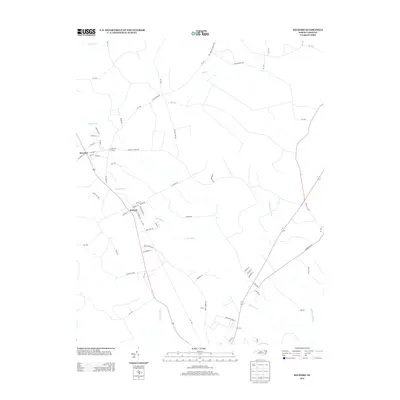 2013 Kelford2013 Print · USGSBertie County at the start of the 2010s reveals a landscape defined by its rural settlements and significant wetlands. Genealogists and researchers can trace the neighborhoods of Kelford and Roxobel or locate landmarks along Wahtom Swamp and the Cashie River.
 - 2013 Map of Lewiston Woodville, 2013 Print
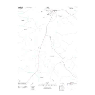 2013 Lewiston Woodville2013 Print · USGSBertie County's river-fed landscapes are documented here in the early twenty-first century, showing the intersection of local history and modern hydrology. Genealogists and historians can trace family-named routes and old river access points like Apple Tree Landing, Flag Run Landing, and the settlement of Cahaba.
Showing maps 1-25 of 82
Top cities of Bertie County
- Windsor historical maps
- Aulander historical maps
- Lewiston Woodville historical maps
- Roxobel historical maps
- Powellsville historical maps
- Askewville historical maps
See more
Frequently asked questions
- What are the different types of historical maps available for Bertie County?
- What is the oldest map of Bertie County?
- Where can I purchase historical maps of Bertie County for my home or office?
- Where can I download high-res historical maps of Bertie County?
- Are there historical topographic maps available for Bertie County?
- Is there historical aerial imagery available for Bertie County?
- Where are historical maps of Bertie County sourced from?