2020s Maps of Bertie County, North Carolina
Explore 28 historic maps of Bertie County from the 2020s. These maps offer a rare glimpse into what life looked like during the 2020s — showing old roads, neighborhoods, homes, and landmarks that have changed or disappeared over time.
Whether you're researching your family's past, planning a metal detecting trip, or studying how Bertie County's landscape evolved across the 2020s, these high-resolution maps are a powerful tool for exploring the history of this region.
- Focus on a specific era: All maps on this page are from the 2020s, giving you a focused view of this time period.
- See what’s changed: Compare century-old streets, trails, and buildings to today's modern landscape using overlays and satellite layers.
- Research with precision: Use these maps for genealogy, historical research, land use analysis, or educational projects.
- View, download, or print: Maps are fully viewable online in high resolution, and can be downloaded or printed for your own records.
Start exploring Bertie County's history through authentic maps from the 2020s. This is your window into the past.
Bertie County, NC maps
(28)- 2021 Map of Lewiston Woodville, 2021 Print
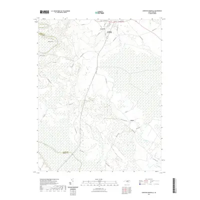 2021 Lewiston Woodville2021 Print · USGSBertie County's rural heartland is documented here in the early 2020s, showing a landscape defined by the Roanoke River and sprawling wetlands. Researchers can trace the layout of Lewiston Woodville, identify the bounds of the Roquist Pocosin, and locate family-named routes like FRANCIS MILL RD.
 - 2021 Map of Norfleet, 2021 Print
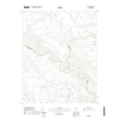 2021 Norfleet2021 Print · USGSThe Roanoke River basin in the early 2020s reveals a landscape of deep wetlands and historic family tracts. Genealogists can trace rural landmarks from Roxobel to Ventosa Plantation Airport, including the Hall Cem and Rea Cemeteries.
 - 2021 Map of Kelford, 2021 Print
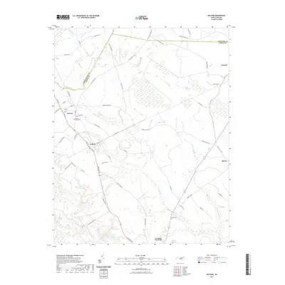 2021 Kelford2021 Print · USGSThe crossroads of Bertie and Northampton counties are captured here in the early twenty-first century, showing a landscape of traditional settlements and intricate wetlands. Researchers can trace family-named sites and rural landmarks like Roxobel-Kelford Cem, Wahtom Pocosin, and the upper Cashie River.
 - 2021 Map of Jamesville, 2021 Print
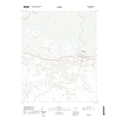 2021 Jamesville2021 Print · USGSJamesville sits on the banks of the winding Roanoke River in the early 2020s, surrounded by an intricate network of coastal wetlands. Genealogists and local historians can trace family-named routes like Wendell-Griffin Rd and explore the reaches of Devils Gut and Lanier Swamp.
 - 2021 Map of Windsor South, 2021 Print
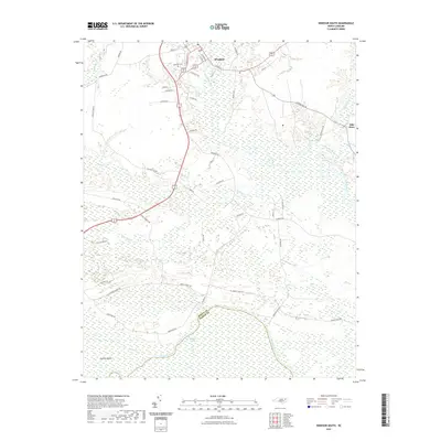 2021 Windsor South2021 Print · USGSThe Roanoke River lowlands of Bertie County come to life in this contemporary survey of the river-fed landscape near the Martin County line. Researchers can trace family history at Hillcrest Cem or explore the wetlands around Conine Island and Ellis Store.
 - 2021 Map of Palmyra, 2021 Print
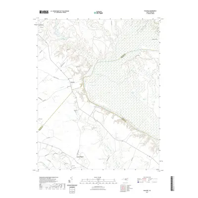 2021 Palmyra2021 Print · USGSThe Roanoke River lowlands and the rural crossroads of Halifax County come alive in this recent survey. Researchers can trace ancestral roots through an extensive network of family burial sites, including Stephenson Cem, Harman Cem, and Palmyra Cem.
 - 2022 Map of Plymouth East, 2022 Print
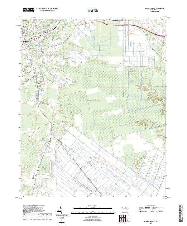 2022 Plymouth East2022 Print · USGSCoastal plain settlements near the Bertie and Washington county line are documented here in recent detail. Genealogists and local historians can trace family locations along Mackeys Rd, near the Washington County Courthouse, and out toward Macedonia.
 - 2022 Map of Republican, 2022 Print
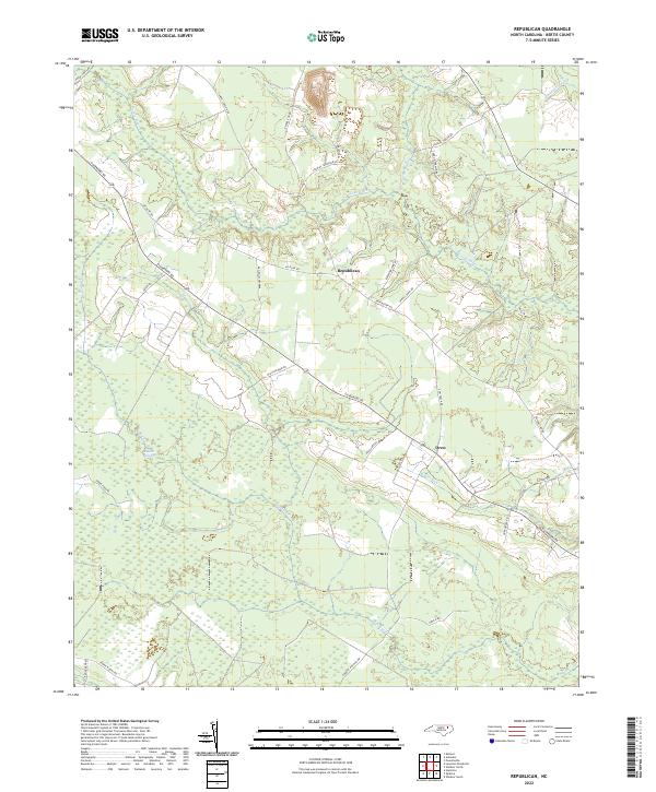 2022 Republican2022 Print · USGSBertie County in the early 2020s remains a landscape defined by its deep swamp forests and rural crossroads. Genealogists and researchers can trace local family land use near the Roquist Pocosin or locate the settlements of Republican and Drew.
 - 2022 Map of Lewiston Woodville, 2022 Print
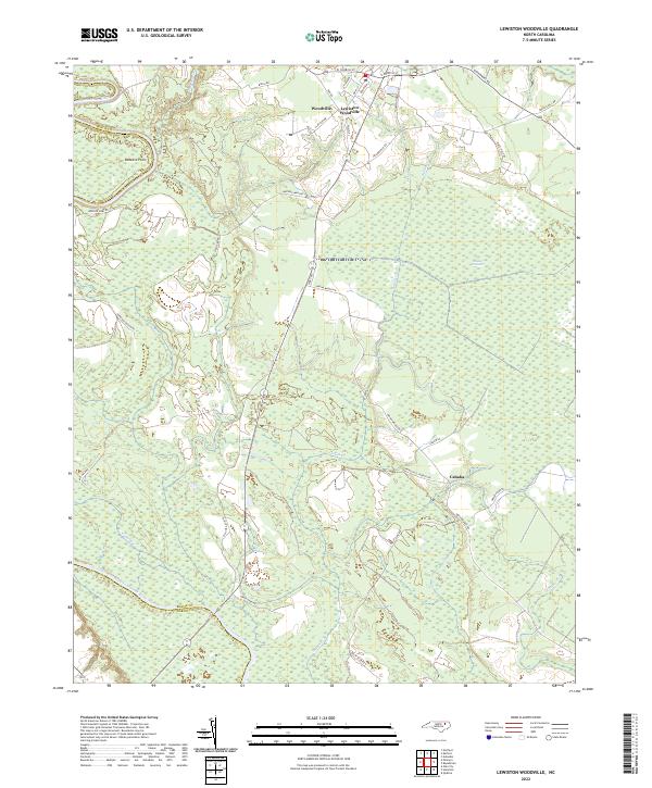 2022 Lewiston Woodville2022 Print · USGSBertie County's river-fed wetlands and agricultural corridors are shown in clear detail during the early 2020s. Researchers can trace the boundaries of Roquist Pocosin or locate family roots near Lewiston Woodville, Cahaba, and Buzzard Point.
 - 2022 Map of Windsor North, 2022 Print
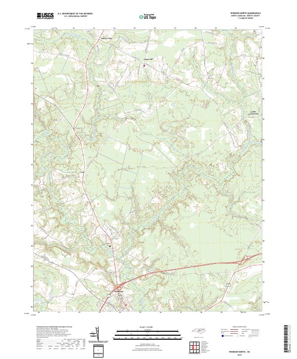 2022 Windsor North2022 Print · USGSThe Bertie County interior north of the Cashie River is shown in this recent survey of rural settlements and wetlands. Researchers can trace family-named roads like Lewis Mizelle Rd and locate the historic Edgewood Cem near Windsor.
 - 2022 Map of Powellsville, 2022 Print
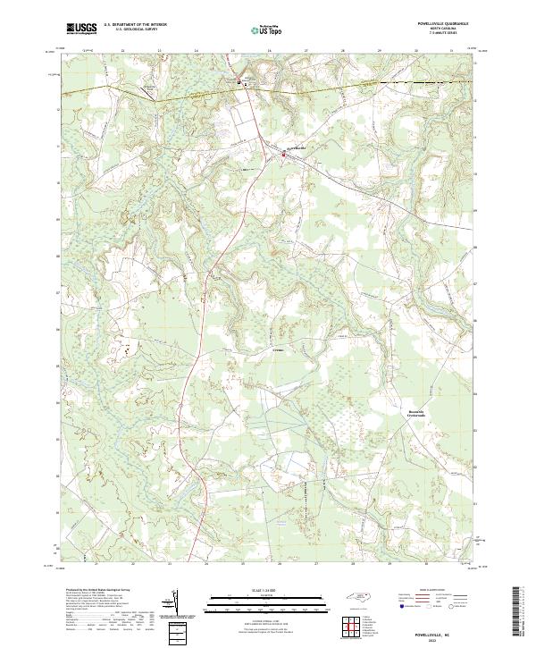 2022 Powellsville2022 Print · USGSThe coastal plain of North Carolina is captured here in recent years, revealing a landscape of dense swamps and rural crossroads. Local historians can trace family-named roads and remote landmarks like Pell Mell Pocosin, Buzzards Crossroads, and Stony Creek Cem.
 - 2022 Map of Colerain, 2022 Print
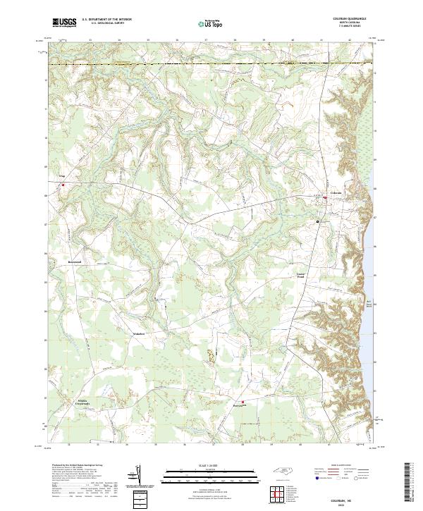 2022 Colerain2022 Print · USGSBertie County's coastal plain and swamp-heavy interior are shown here in the 2020s. Genealogists and historians can locate rural crossroads like Trap and Whites Crossroads alongside notable landmarks like Hillcrest Cem and Goose Pond.
 - 2022 Map of Hamilton, 2022 Print
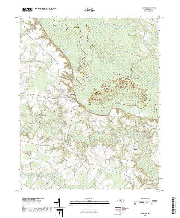 2022 Hamilton2022 Print · USGSThe Roanoke River floodplain in Martin County is the centerpiece of this modern survey. Genealogists and researchers can trace the area around Hamilton and Ballard, exploring the relationship between local roads and the expansive Broadneck Swamp.
 - 2022 Map of Merry Hill, 2022 Print
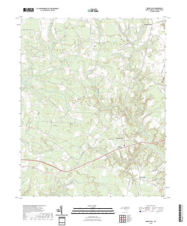 2022 Merry Hill2022 Print · USGSBertie County at the start of the 2020s shows a landscape still deeply shaped by its coastal swamps and agricultural crossroads. Genealogists and local historians can trace family-named routes and the settings of rural hubs like Merry Hill, Mount Gould, and Taylors Store.
 - 2022 Map of Valhalla, 2022 Print
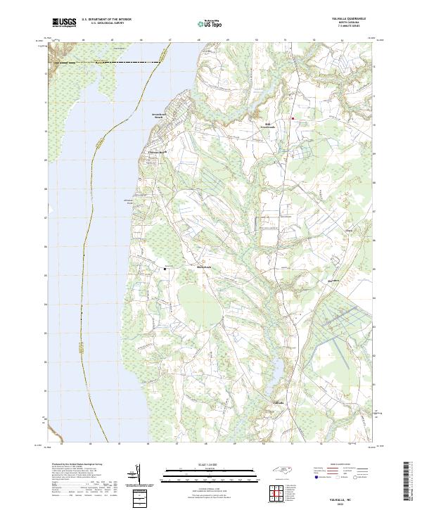 2022 Valhalla2022 Print · USGSCoastal plains and riverfront settlements define this portion of Chowan County in the early twenty-first century. Genealogists and local historians can trace family locations near Rockyhock, Valhalla, and Nixon Cem or explore the residential layouts of Arrowhead Beach.
 - 2022 Map of Edenhouse, 2022 Print
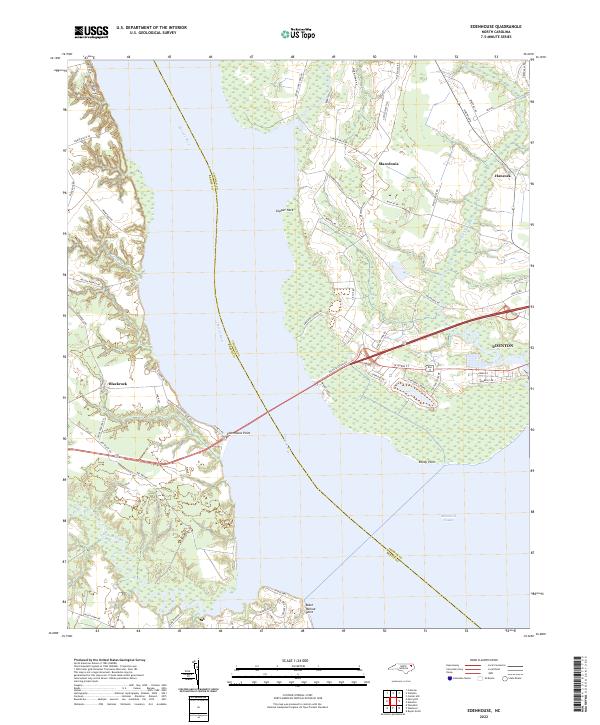 2022 Edenhouse2022 Print · USGSThe Chowan River basin in the early 2020s remains a landscape of tidal creeks and coastal settlements. Trace the history of the river crossings at Edenhouse Point, the residential layout of Edenton, and the rural reaches of Macedonia.
 - 2022 Map of Williamston, 2022 Print
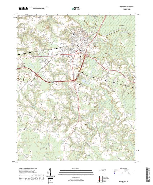 2022 Williamston2022 Print · USGSWilliamston and the Martin County countryside appear here in the early twenty-first century as the Roanoke River flows past Conoho Bend. Local historians can trace family landmarks like Woodlawn Cem and Staton-Biggs Cem or follow the path of Hardison Mill Cr.
 - 2022 Map of Plymouth West, 2022 Print
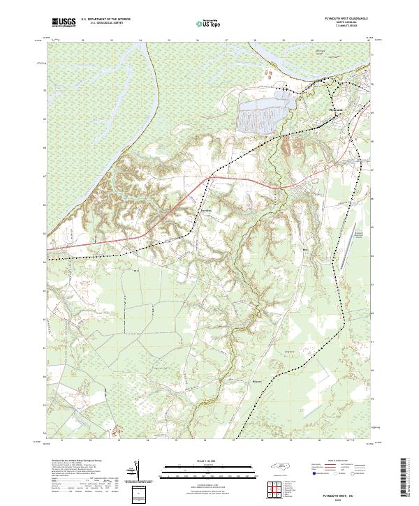 2022 Plymouth West2022 Print · USGSCoastal North Carolina lowlands meet industrial riverfronts in the early 2020s as the Roanoke River passes western Plymouth. Genealogists and local historians can trace the rural reaches of Dardens, Long Acre, and Hinson alongside Lanier Swamp.
 - 2022 Map of Palmyra, 2022 Print
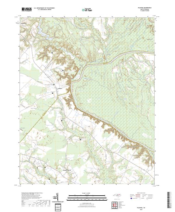 2022 Palmyra2022 Print · USGSThe Roanoke River basin in eastern North Carolina comes to life here, showing the rural communities and wetland networks of Halifax, Martin, and Bertie counties. Genealogists can trace family names at Palmyra Cem, Stephenson Cem, and Williams Cem near the riverbanks.
 - 2022 Map of Windsor South, 2022 Print
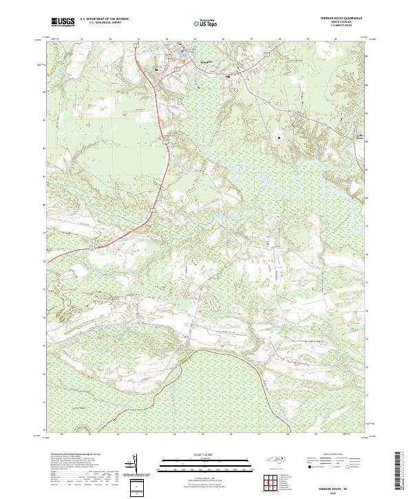 2022 Windsor South2022 Print · USGSCoastal plain wetlands and riverine landscapes define this part of Bertie County in the early twenty-first century. Genealogists and local historians can trace the roads around Windsor and locate landmarks like the Bertie County Courthouse, Hillcrest Cem, and Ellis Store.
 - 2022 Map of Woodard, 2022 Print
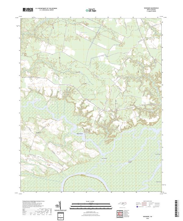 2022 Woodard2022 Print · USGSBertie County's river-driven landscape is captured here in the early 2020s, showing the rural communities along the Cashie River. Researchers can trace the reach of the Buckleberry Pocosin or locate the riverfront at Sans Souci and Devils Elbow.
 - 2022 Map of Westover, 2022 Print
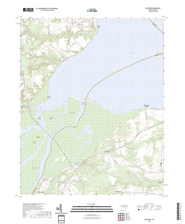 2022 Westover2022 Print · USGSThe confluence of the Roanoke and Cashie Rivers meets the Albemarle Sound in this modern coastal survey of Washington County. Local researchers can trace the roads connecting Westover and Roper, or locate landmarks like Saint Luke Cem and Louse Island.
 - 2022 Map of Roper North, 2022 Print
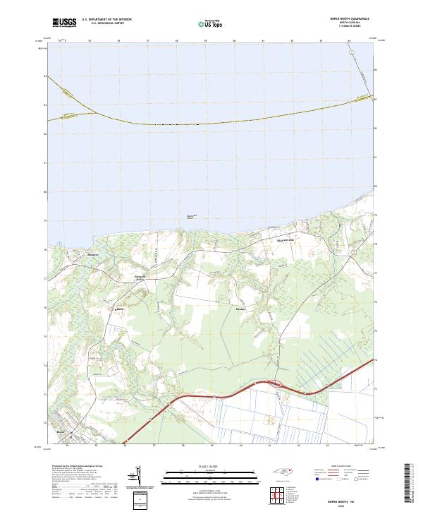 2022 Roper North2022 Print · USGSCoastal Washington County comes into focus in the early 2020s, showing the intersection of the Albemarle Sound shoreline with inland farming communities. Genealogists and local historians can trace the road networks around Skinnersville, Roper, and Mackeys, or locate family-named features like Hawkins Br and Old Mill Cr.
 - 2022 Map of Quitsna, 2022 Print
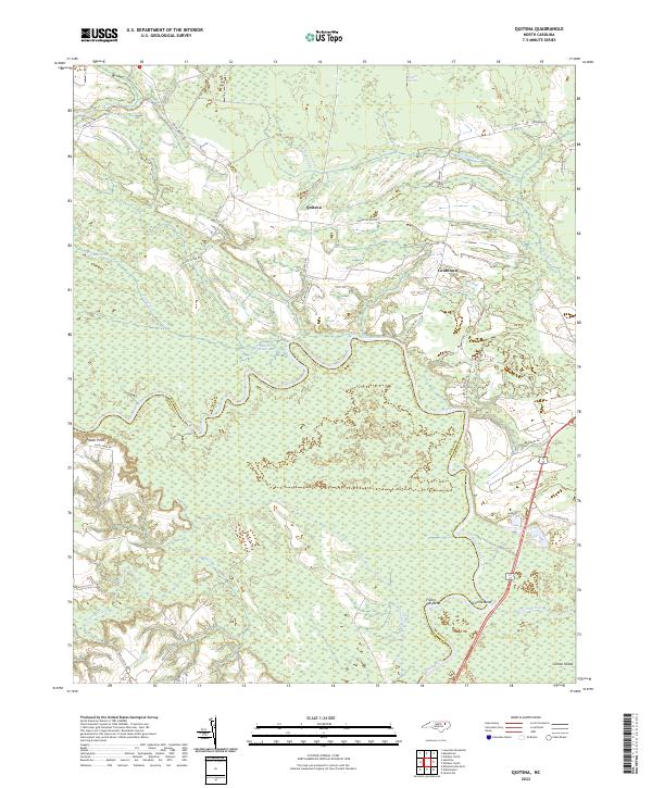 2022 Quitsna2022 Print · USGSThe Bertie and Martin County line follows the winding Roanoke River through a landscape of pocosin and swamp in the 2020s. Researchers can trace rural roads and family landmarks like Quitsna, Grabtown, and the remote Frog Level Swamp.
 - 2022 Map of Norfleet, 2022 Print
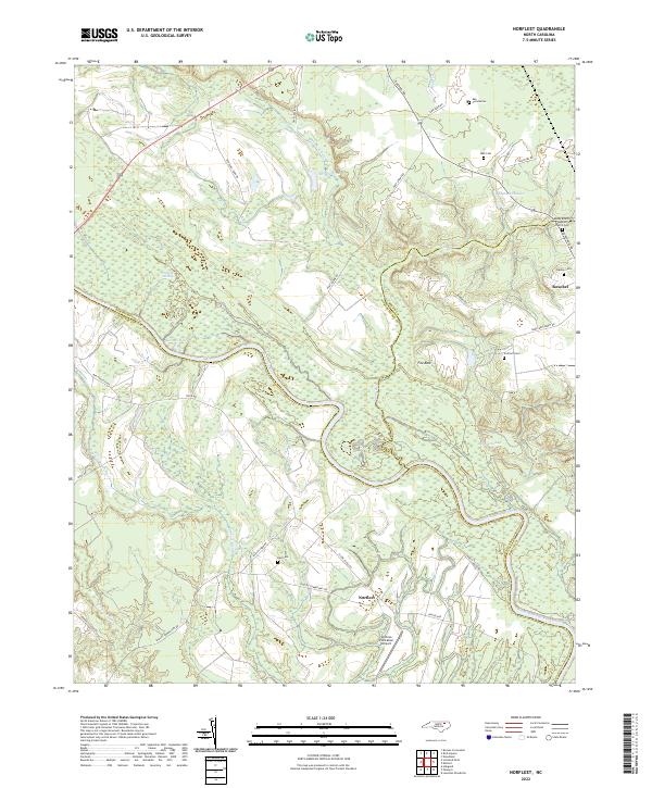 2022 Norfleet2022 Print · USGSThe Roanoke River lowlands and the community of Roxobel are shown here as they appeared in the early 2020s. Genealogists and local historians can locate family burial sites like Norfleet Cem and Bell Cem alongside landmarks such as Sandy Branch Baptist Church.
Showing maps 1-25 of 28
Top cities of Bertie County
- Windsor historical maps
- Aulander historical maps
- Lewiston Woodville historical maps
- Roxobel historical maps
- Powellsville historical maps
- Askewville historical maps
See more
Frequently asked questions
- What are the different types of historical maps available for Bertie County?
- What is the oldest map of Bertie County?
- Where can I purchase historical maps of Bertie County for my home or office?
- Where can I download high-res historical maps of Bertie County?
- Are there historical topographic maps available for Bertie County?
- Is there historical aerial imagery available for Bertie County?
- Where are historical maps of Bertie County sourced from?