Old Maps of Elizabethtown, North Carolina for Academic Research
Study the evolution of Elizabethtown with 28 high-resolution historic maps. Whether you're teaching, researching, or modeling changes in land use, these maps provide essential visual documentation of urban, environmental, and geographic change.
- Analyze long-term change: Track patterns in development, transportation, and natural features.
- Ideal for environmental or urban studies: Support academic projects with primary historical map data.
- Use in the classroom or lab: Educators and researchers rely on these maps to bring historical context to life.
These maps are a powerful tool for teaching, research, and visualizing how Elizabethtown has changed over the decades.
Elizabethtown, NC maps
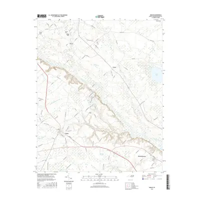
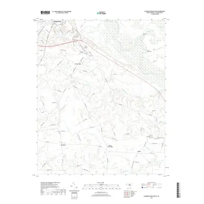
(28)- 1953 Map of Florence, 1964 Print
 1953 Florence1964 Print · USGSThe Carolina borderlands in the mid-fifties were a landscape of vast river swamps and rising rail towns. Trace the legacy of the Seaboard Air Line through Florence or explore the wetlands surrounding Lake Waccamaw and the Green Swamp.3 unique versions available
 - 1954 Map of Florence
 1954 Florence1954 Print · USGSThe Carolinas borderlands come alive in the early fifties, showing the vital rail-and-river networks of the coastal plain. Genealogists can trace family footprints across the Green Swamp or through settlements like Red Springs, Chadbourn, and McColl.
 - 1955 Map of Elizabethtown, 1958 Print
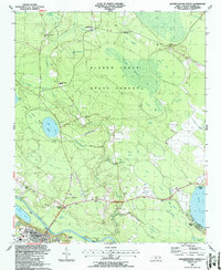
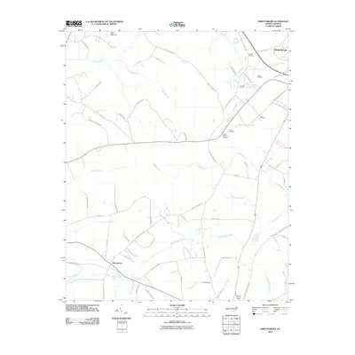
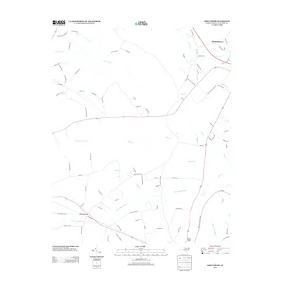
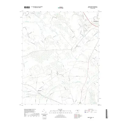
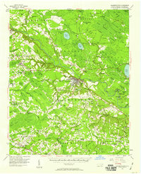 1955 Elizabethtown1958 Print · USGSBladen County's landscape in the mid-1950s reveals a network of rural communities and unique Carolina Bays. Genealogists can trace family landmarks like Wesley Chapel, Washington High Sch, and the Seaboard Air Line rail stops.2 unique versions available
 - 1982 Map of Elizabethtown, 1983 Print
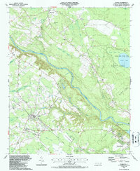
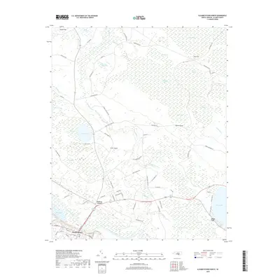
 1982 Elizabethtown1983 Print · USGSSoutheastern North Carolina's coastal plain is captured here in the early eighties, showcasing a landscape defined by the Cape Fear River and mysterious Carolina Bays. Genealogists and researchers can trace the rail network of the Seaboard Coast Line through rural communities like Autryville, Ivanhoe, and the recreational hub of White Lake.
 - 1987 Map of Dublin
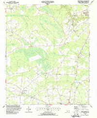
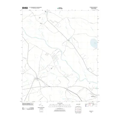
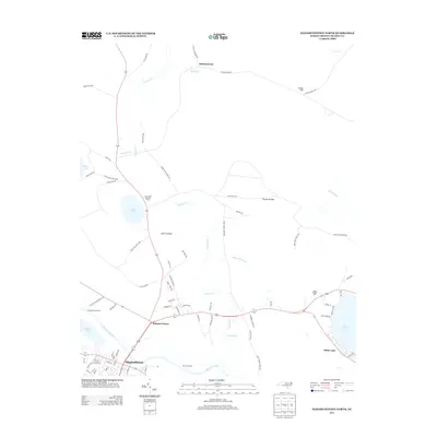
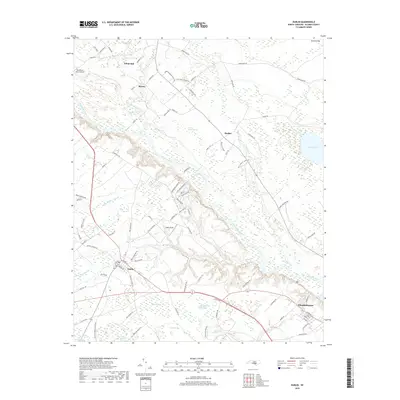
 1987 Dublin1987 Print · USGSBladen County in the late eighties is defined by its Carolina bays and the winding Cape Fear River. Genealogists and local historians can trace rural landmarks from the Old Railroad Grade to historic congregations like Bethel Ch and Harrison Creek Ch.
 - 1987 Map of Abbottsburg
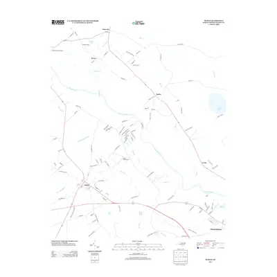
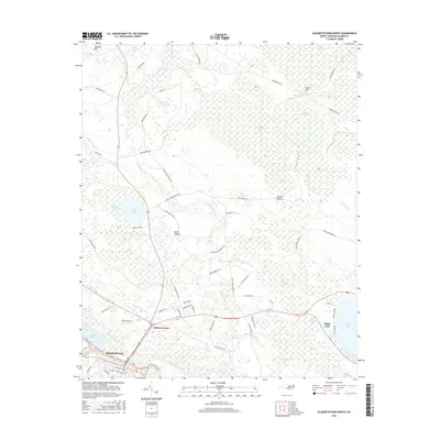
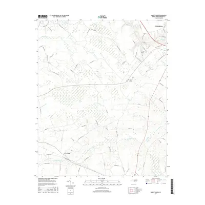
 1987 Abbottsburg1987 Print · USGSBladen County's wetlands and rail corridors are frozen in time during the late eighties, showing a landscape defined by the CSX and unique Carolina bays. Genealogists can trace family names through numerous sites like Wesley Chapel, Benson Cem, and Shady Grove Ch.
 - 1987 Map of Elizabethtown South
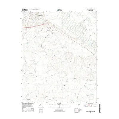
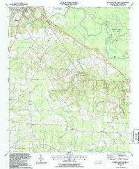 1987 Elizabethtown South1987 Print · USGSBladen County settlement south of the river in the late eighties shows a landscape defined by timber and traditional rural centers. Genealogists can trace family roots through Mt Olive Cems, Lisbon, and Friendly Riverside Ch.
 - 1987 Map of Elizabethtown North
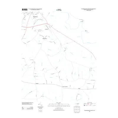
 1987 Elizabethtown North1987 Print · USGSCoastal plain life in the 1980s centered on the bends of the Cape Fear River and the unique Carolina Bays. Genealogists and researchers can trace rural church sites like Saint Rest Cem Ch and family landmarks near Johnsontown and Suttons Corner.
 - 2010 Map of Elizabethtown North, 2010 Print
 2010 Elizabethtown North2010 Print · USGSCovers Elizabethtown, including White Lake, Suttons Corner, and other nearby areas
 - 2010 Map of Elizabethtown South, 2010 Print
 2010 Elizabethtown South2010 Print · USGSCovers Elizabethtown, including Lisbon, Bluefield, and other nearby areas
 - 2010 Map of Dublin, 2010 Print
 2010 Dublin2010 Print · USGSCovers Elizabethtown, including Dublin, Yorick, and other nearby areas
 - 2010 Map of Abbottsburg, 2010 Print
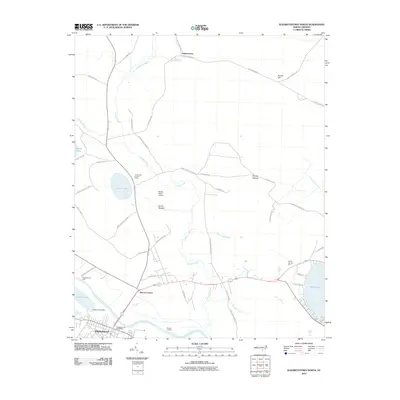
 2010 Abbottsburg2010 Print · USGSCovers Elizabethtown, including Abbottsburg, Bladen County, and other nearby areas
 - 2013 Map of Dublin, 2013 Print
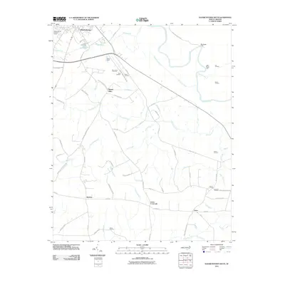
 2013 Dublin2013 Print · USGSCovers Elizabethtown, including Dublin, Yorick, and other nearby areas
 - 2013 Map of Elizabethtown North, 2013 Print
 2013 Elizabethtown North2013 Print · USGSCovers Elizabethtown, including White Lake, Suttons Corner, and other nearby areas
 - 2013 Map of Elizabethtown South, 2013 Print
 2013 Elizabethtown South2013 Print · USGSCovers Elizabethtown, including Lisbon, Bluefield, and other nearby areas
 - 2013 Map of Abbottsburg, 2013 Print
 2013 Abbottsburg2013 Print · USGSCovers Elizabethtown, including Abbottsburg, Bladen County, and other nearby areas
 - 2016 Map of Elizabethtown North, 2016 Print
 2016 Elizabethtown North2016 Print · USGSCovers Elizabethtown, including White Lake, Suttons Corner, and other nearby areas
 - 2016 Map of Elizabethtown South, 2016 Print
 2016 Elizabethtown South2016 Print · USGSCovers Elizabethtown, including Lisbon, Bluefield, and other nearby areas
 - 2016 Map of Dublin, 2016 Print
 2016 Dublin2016 Print · USGSCovers Elizabethtown, including Dublin, Yorick, and other nearby areas
 - 2016 Map of Abbottsburg, 2016 Print
 2016 Abbottsburg2016 Print · USGSCovers Elizabethtown, including Abbottsburg, Bladen County, and other nearby areas
 - 2019 Map of Elizabethtown North, 2019 Print
 2019 Elizabethtown North2019 Print · USGSCovers Elizabethtown, including White Lake, Suttons Corner, and other nearby areas
 - 2019 Map of Abbottsburg, 2019 Print
 2019 Abbottsburg2019 Print · USGSCovers Elizabethtown, including Abbottsburg, Bladen County, and other nearby areas
 - 2019 Map of Dublin, 2019 Print
 2019 Dublin2019 Print · USGSCovers Elizabethtown, including Dublin, Yorick, and other nearby areas
 - 2019 Map of Elizabethtown South, 2019 Print
 2019 Elizabethtown South2019 Print · USGSCovers Elizabethtown, including Lisbon, Bluefield, and other nearby areas
 - 2022 Map of Elizabethtown South, 2022 Print
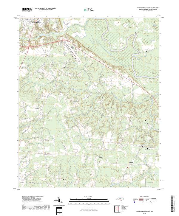 2022 Elizabethtown South2022 Print · USGSCoastal plains and river bends define Bladen County in the early 2020s, where rural life centers on the winding Cape Fear River. Researchers can trace generations of local history through family burial grounds like Lee Cem and Watson Cem or the settlement at Lisbon.
Showing maps 1-25 of 28
Top cities near Elizabethtown
- Bladenboro historical maps
- Clarkton historical maps
- White Lake historical maps
- Dublin historical maps
- Tar Heel historical maps
Frequently asked questions
- What are the different types of historical maps available for Elizabethtown?
- What is the oldest map of Elizabethtown?
- Where can I purchase historical maps of Elizabethtown for my home or office?
- Where can I download high-res historical maps of Elizabethtown?
- Are there historical topographic maps available for Elizabethtown?
- Is there historical aerial imagery available for Elizabethtown?
- Where are historical maps of Elizabethtown sourced from?